Punds Geo
Coastal Feature, Headland, Point in Orkney
Scotland
Punds Geo
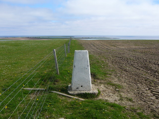
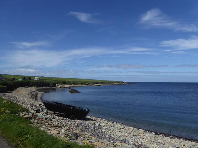
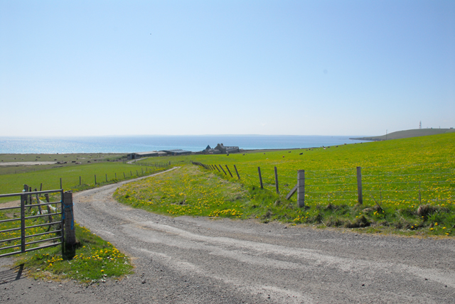
Punds Geo is a prominent coastal feature located on the island of Orkney, Scotland. It is a headland or a point that juts out into the sea, offering stunning views of the surrounding landscapes and the vast ocean beyond.
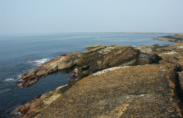
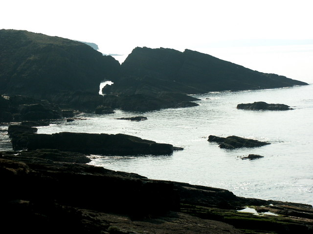
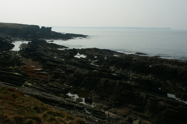
Situated on the west coast of Orkney's mainland, Punds Geo is known for its rugged beauty and dramatic cliffs that drop sharply into the sea below. The headland is composed of layers of sandstone and is characterized by its distinctive red color, which contrasts beautifully with the deep blue of the ocean.
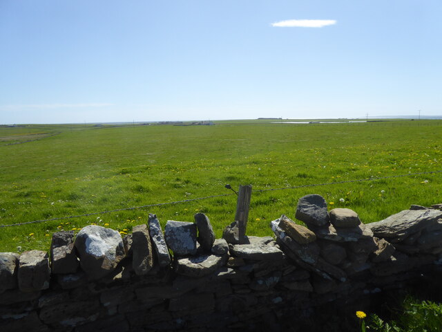
Punds Geo is a popular destination for nature enthusiasts, hikers, and photographers. The headland provides an excellent vantage point to observe a variety of seabirds, including puffins, guillemots, and razorbills, as they nest and soar above the cliffs. The site is also home to a diverse range of flora and fauna, including wildflowers and mosses that thrive in the coastal environment.
In addition to its natural beauty, Punds Geo also holds historical significance. The headland is believed to have been a site of human occupation for thousands of years, with archaeological evidence suggesting that it was once used as a defensive position during ancient times. Today, visitors can explore the remains of an Iron Age broch, a type of circular stone tower, which stands as a testament to the island's rich history.
Overall, Punds Geo is a captivating coastal feature that showcases the raw power of nature and offers a glimpse into Orkney's fascinating past.
If you have any feedback on the listing, please let us know in the comments section below.
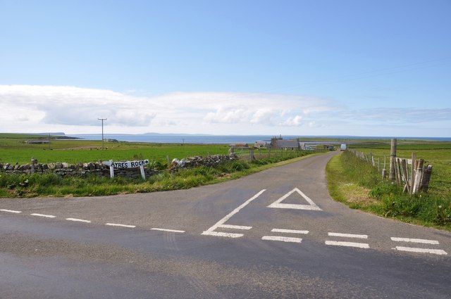
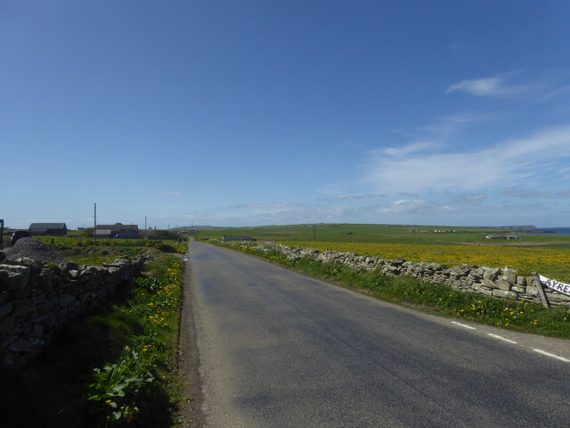
Punds Geo Images
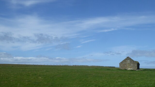
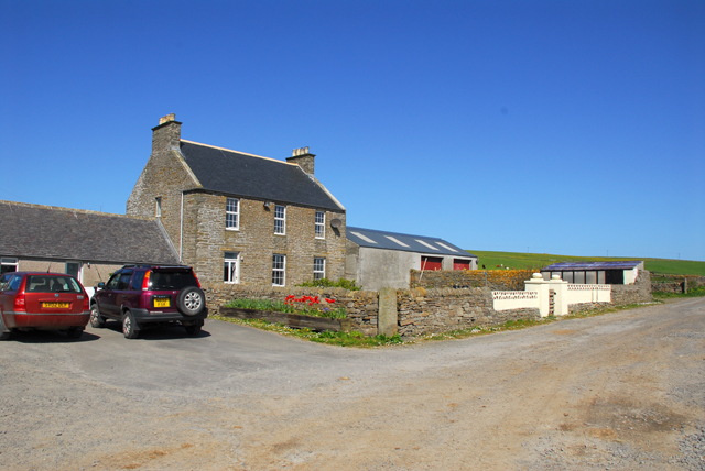
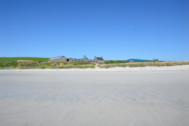
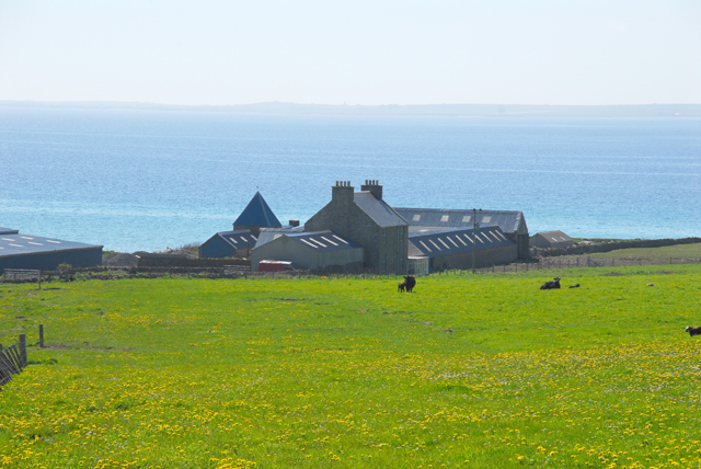
Images are sourced within 2km of 59.255556/-2.6244193 or Grid Reference HY6441. Thanks to Geograph Open Source API. All images are credited.

Punds Geo is located at Grid Ref: HY6441 (Lat: 59.255556, Lng: -2.6244193)
Unitary Authority: Orkney Islands
Police Authority: Highlands and Islands
What 3 Words
///infringe.markets.exacted. Near Kettletoft, Orkney Islands
Nearby Locations
Related Wikis

Broughtown
Broughtown is a village on the island of Sanday, in Orkney, Scotland. The settlement is within the parish of Cross and Burness. Sanday Airport is adjacent...

Sanday Airport
Sanday Airport (IATA: NDY, ICAO: EGES) is located 20 NM (37 km; 23 mi) north northeast of Kirkwall Airport on Sanday, Orkney Islands, Scotland. Sanday...

Kettletoft
Kettletoft is a settlement on the island of Sanday in Orkney, Scotland. The B9068 road runs from Kettletoft to Scar and the B9069 from Kettletoft to Northwall...

Sanday, Orkney
Sanday (, Scots: Sandee) is one of the inhabited islands of Orkney that lies off the north coast of mainland Scotland. With an area of 50.43 km2 (19.5...
Nearby Amenities
Located within 500m of 59.255556,-2.6244193Have you been to Punds Geo?
Leave your review of Punds Geo below (or comments, questions and feedback).