Taing of Musbuster
Coastal Feature, Headland, Point in Orkney
Scotland
Taing of Musbuster
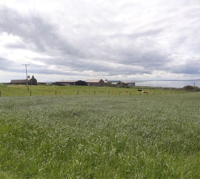
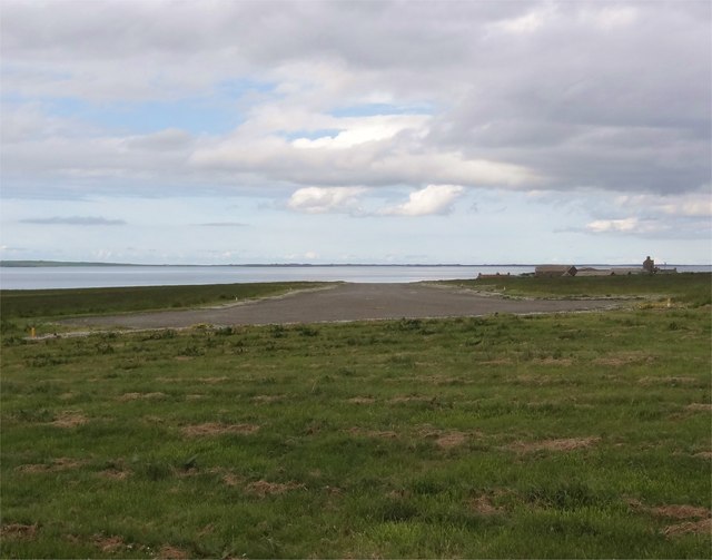
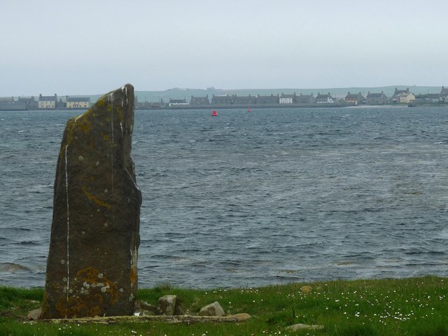
Located in the Orkney Islands of Scotland, Taing of Musbuster is a prominent coastal feature that can be classified as both a headland and a point. This geological formation is situated on the eastern side of the island of Mainland, near the village of St. Margaret's Hope.
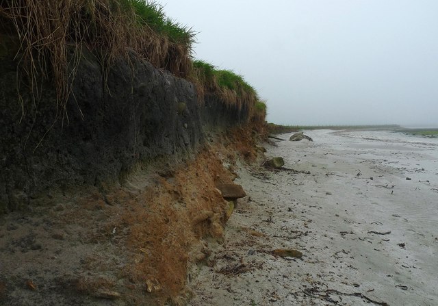
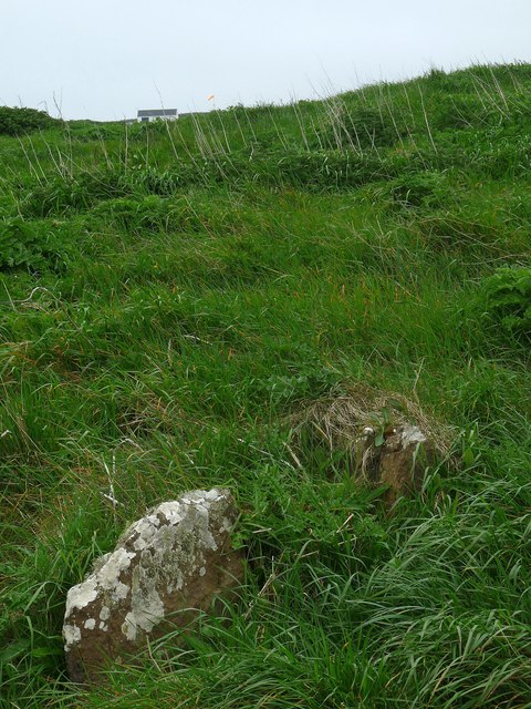
Taing of Musbuster is characterized by its rugged cliffs, which rise dramatically from the surrounding sea. These cliffs are composed of layers of sedimentary rock, including sandstone and shale, showcasing a striking mix of colors and textures. The headland extends out into the North Sea, providing a commanding view of the ocean and the surrounding coastline.
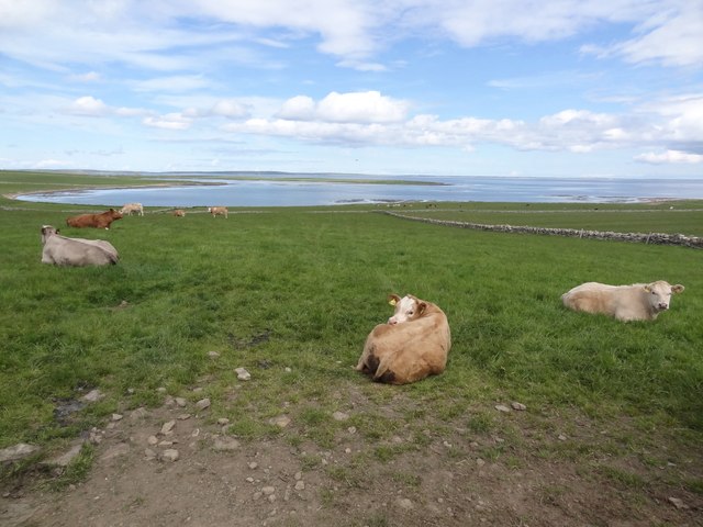
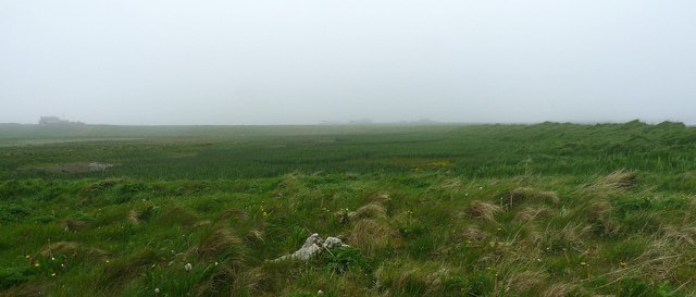
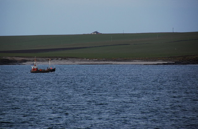
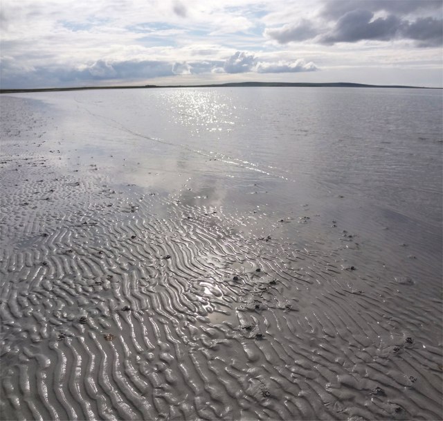
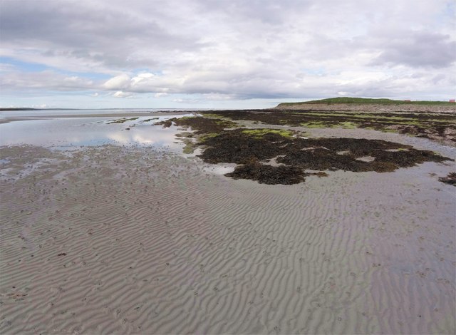
At low tide, a sandy beach is revealed at the base of the cliffs, offering visitors the opportunity to explore the area and observe the diverse marine life that inhabits the rock pools and shallow waters. Seabirds, such as puffins and guillemots, can often be seen nesting on the rocky ledges, adding to the picturesque scenery.
The name "Taing of Musbuster" is derived from the Old Norse term "taing," meaning a tongue of land, and "Musbuster," which likely refers to a nearby farm or settlement. This name reflects the Viking heritage of the Orkney Islands and the influence of Norse culture on the local place names.
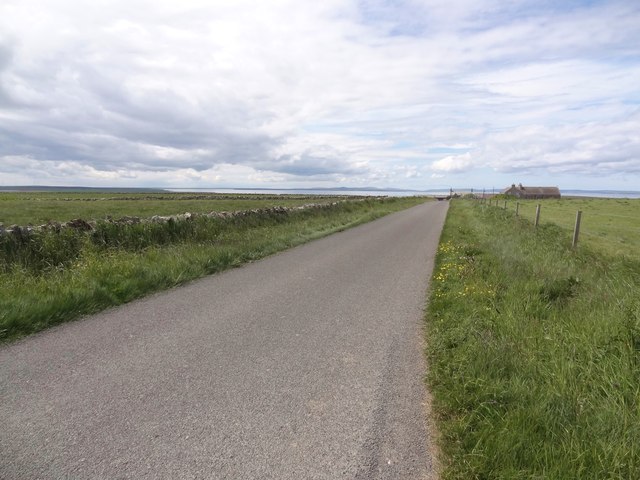
Taing of Musbuster is a popular spot for outdoor enthusiasts, offering opportunities for hiking, birdwatching, and photography. The unique geological features, combined with the stunning coastal vistas, make this headland an important landmark and an attractive destination for visitors to the Orkney Islands.
If you have any feedback on the listing, please let us know in the comments section below.
Taing of Musbuster Images
Images are sourced within 2km of 59.149221/-2.6221486 or Grid Reference HY6429. Thanks to Geograph Open Source API. All images are credited.

Taing of Musbuster is located at Grid Ref: HY6429 (Lat: 59.149221, Lng: -2.6221486)
Unitary Authority: Orkney Islands
Police Authority: Highlands and Islands
What 3 Words
///fleet.fidgeting.refrained. Near Whitehall, Orkney Islands
Nearby Locations
Related Wikis
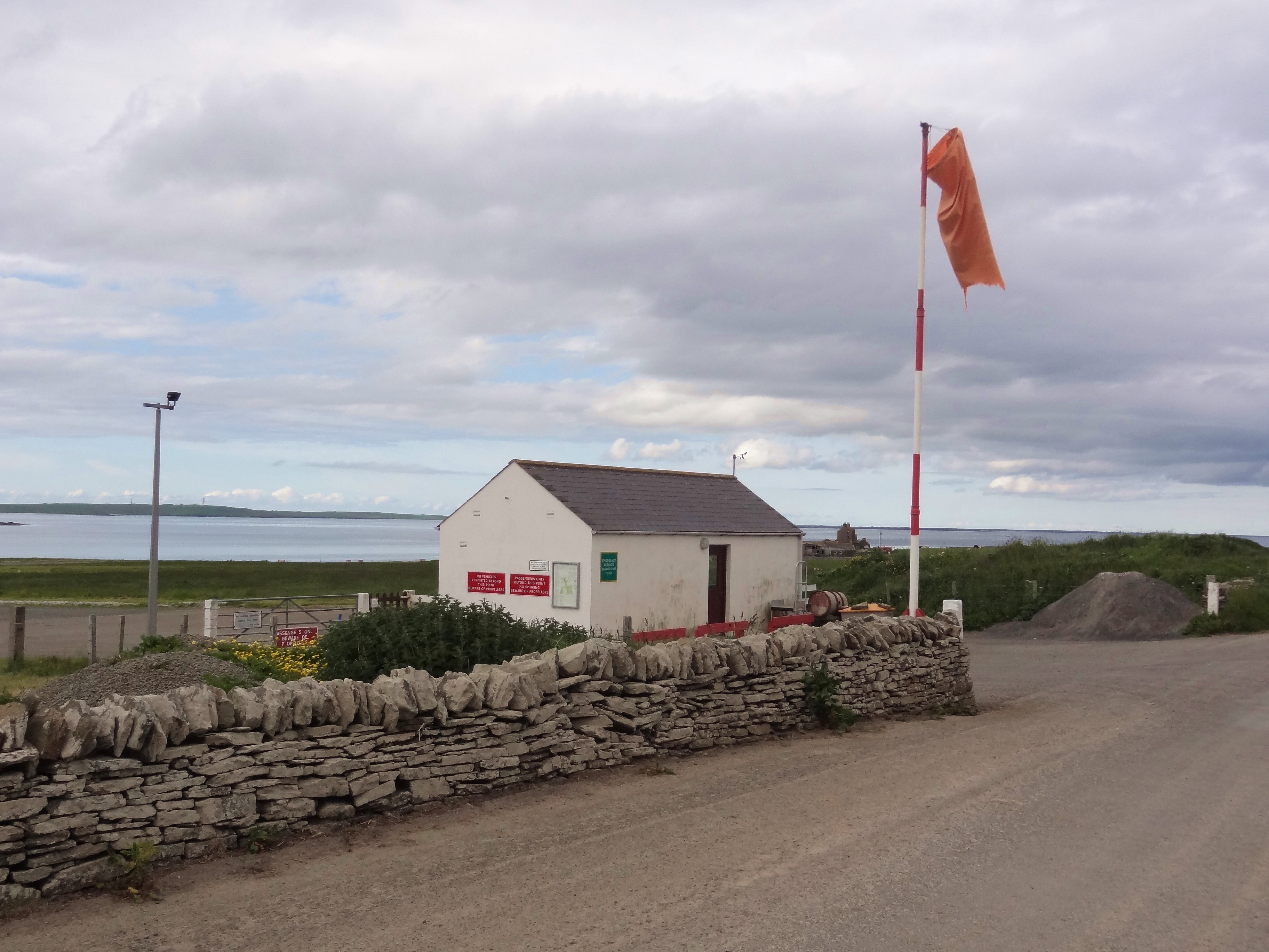
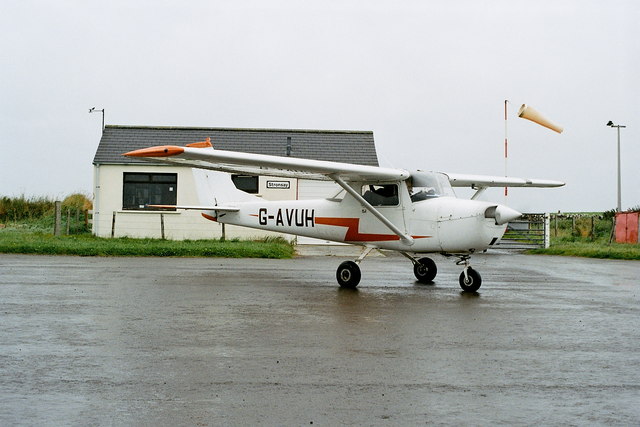
Stronsay Airport
Stronsay Airport (IATA: SOY, ICAO: EGER) is located 15 nautical miles (28 km; 17 mi) northeast by north of Kirkwall Airport on Stronsay, Orkney Islands...

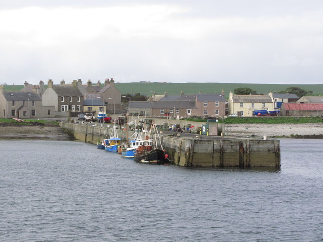
Whitehall, Orkney
Whitehall is the village on the island of Stronsay, in the Orkney Islands of Scotland. It is a small village with about 50 houses. It also has a shop...

Sons of the Most Holy Redeemer
The Congregation of the Sons of the Most Holy Redeemer (Latin: Filii Sanctissimi Redemptoris; FSSR), commonly known as the Transalpine Redemptorists or...

Papa Stronsay
Papa Stronsay (Scots: Papa Stronsee; Old Norse: Papey Minni) is a small island in Orkney, Scotland, lying north east of Stronsay. It is 74 hectares (183...
Nearby Amenities
Located within 500m of 59.149221,-2.6221486Have you been to Taing of Musbuster?
Leave your review of Taing of Musbuster below (or comments, questions and feedback).