Bay of Franks
Bay in Orkney
Scotland
Bay of Franks
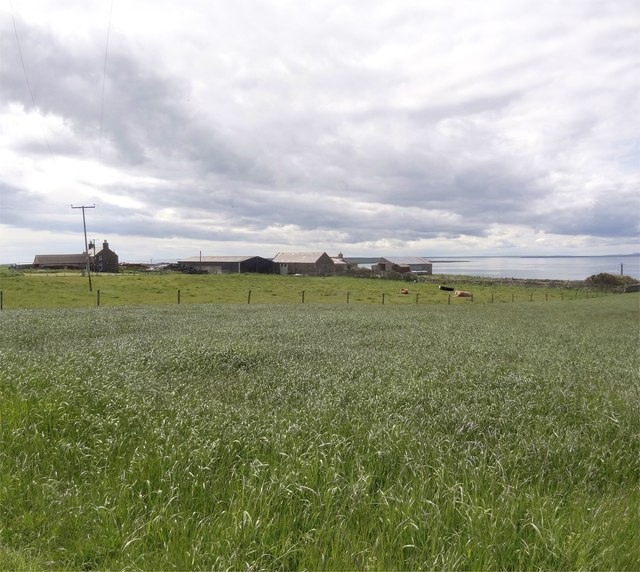
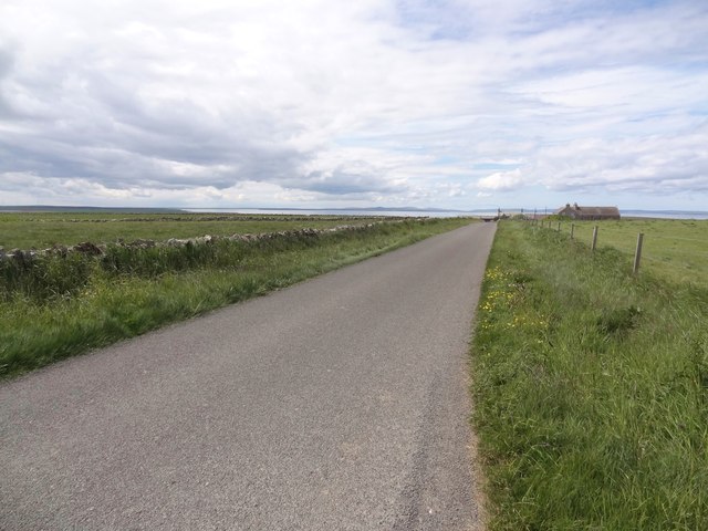
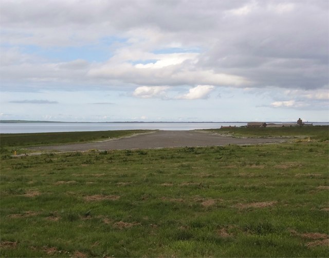
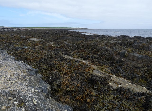
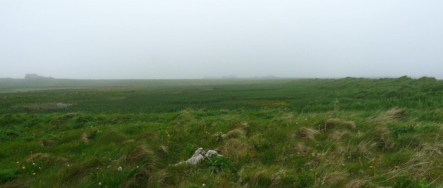
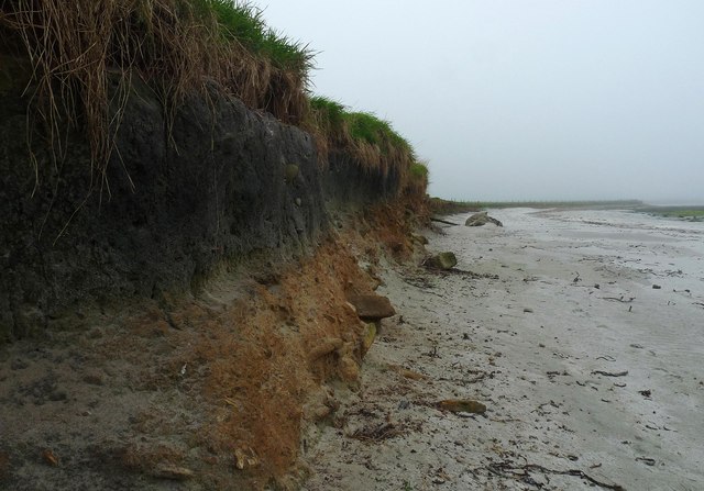
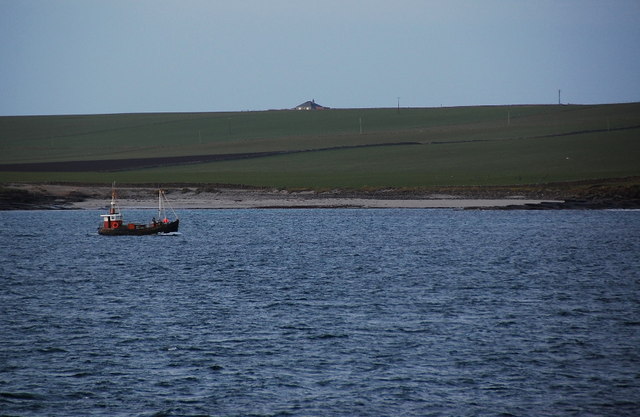
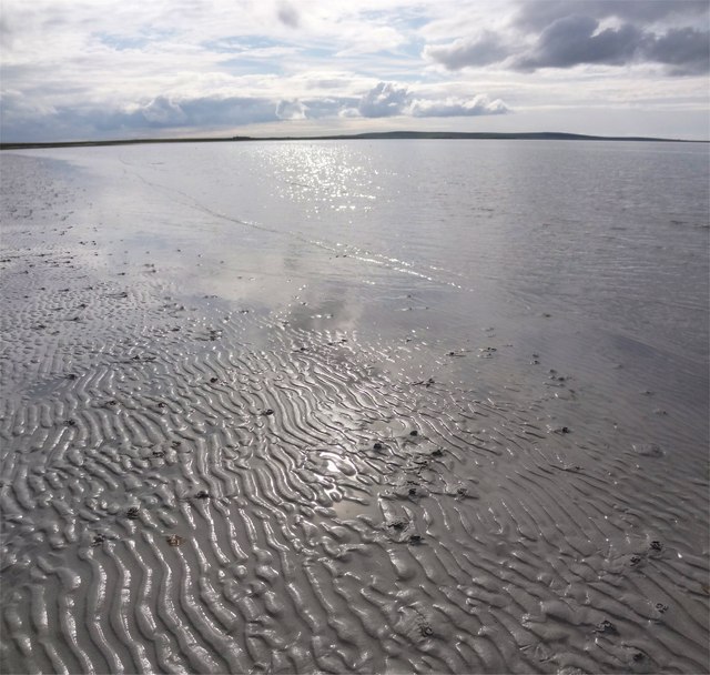
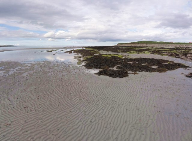
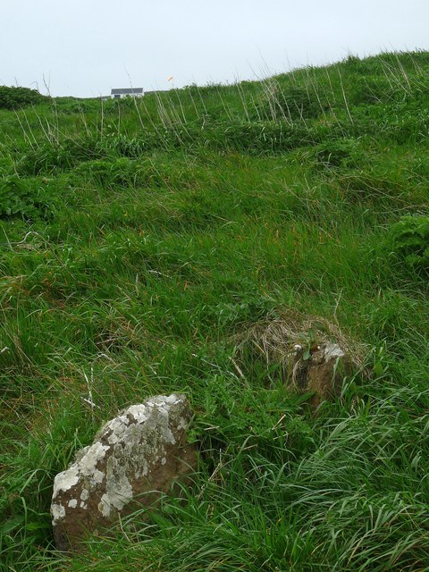
The Bay of Franks, also known as Bay, is a picturesque coastal area located on the island of Orkney, in Scotland. Situated in the northern part of the island, the bay stretches along the coastline for approximately 2 kilometers. It is characterized by its stunning natural beauty, with rugged cliffs, sandy beaches, and crystal-clear waters.
The Bay of Franks is a popular destination for tourists and locals alike, who visit the area to enjoy its serene and tranquil atmosphere. The bay offers breathtaking panoramic views of the surrounding landscape, including the nearby islands of Westray and Papa Westray.
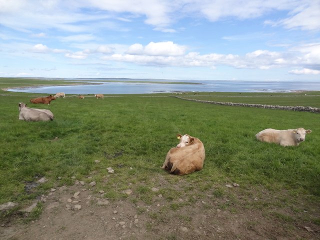
The bay is also home to a diverse range of wildlife, making it a haven for nature enthusiasts. Visitors may spot various species of seabirds that reside in the area, such as puffins, guillemots, and razorbills. Seals can often be seen lounging on the rocks, while dolphins and porpoises occasionally make appearances in the bay's waters.
The Bay of Franks is also steeped in history, with several archaeological sites in the vicinity. Nearby, the remains of the ancient Broch of Gurness can be explored, providing insight into the island's Iron Age past.
Overall, the Bay of Franks is a captivating and picturesque destination, offering a blend of natural beauty, wildlife, and historical significance. Whether it's for a leisurely stroll along the beach, birdwatching, or delving into Orkney's rich heritage, the bay has something to offer for everyone.
If you have any feedback on the listing, please let us know in the comments section below.
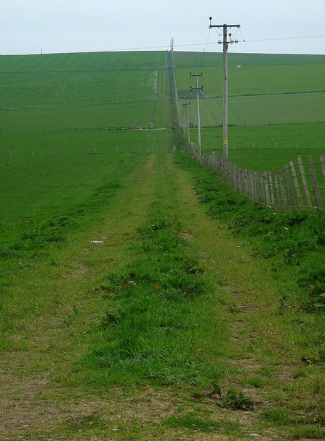
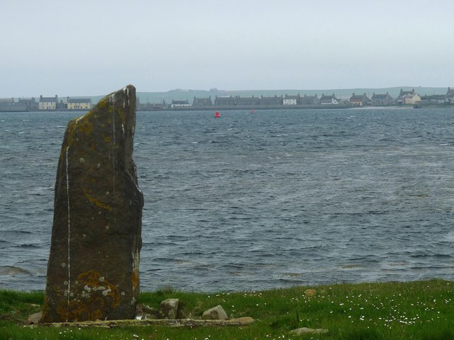
Bay of Franks Images
Images are sourced within 2km of 59.149292/-2.620559 or Grid Reference HY6429. Thanks to Geograph Open Source API. All images are credited.
Bay of Franks is located at Grid Ref: HY6429 (Lat: 59.149292, Lng: -2.620559)
Unitary Authority: Orkney Islands
Police Authority: Highlands and Islands
What 3 Words
///tributes.bubbles.keepers. Near Whitehall, Orkney Islands
Nearby Locations
Related Wikis
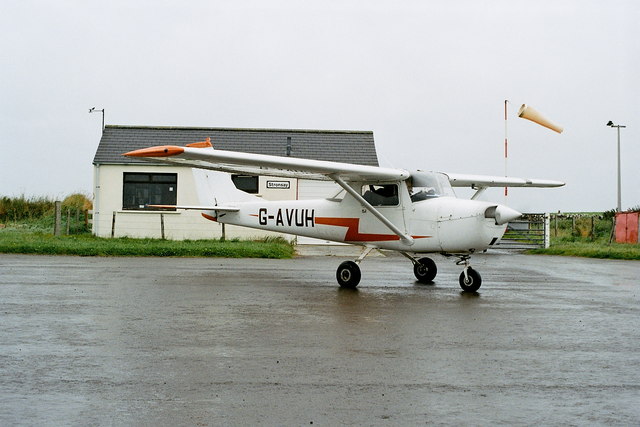
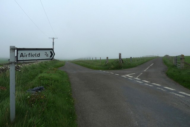
Stronsay Airport
Stronsay Airport (IATA: SOY, ICAO: EGER) is located 15 nautical miles (28 km; 17 mi) northeast by north of Kirkwall Airport on Stronsay, Orkney Islands...

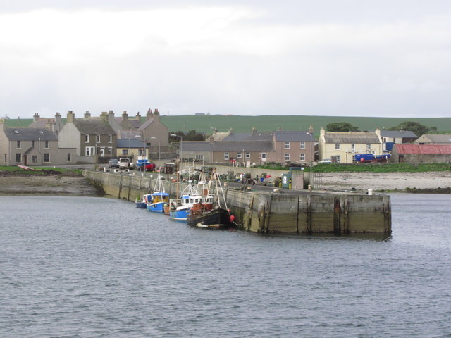
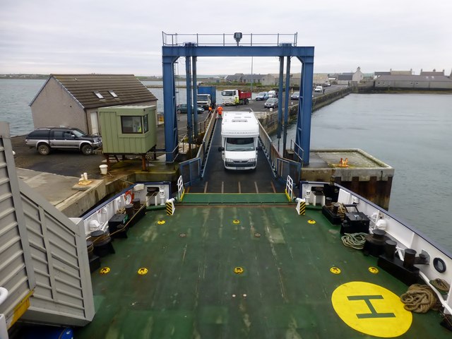
Whitehall, Orkney
Whitehall is the village on the island of Stronsay, in the Orkney Islands of Scotland. It is a small village with about 50 houses. It also has a shop...

Sons of the Most Holy Redeemer
The Congregation of the Sons of the Most Holy Redeemer (Latin: Filii Sanctissimi Redemptoris; FSSR), commonly known as the Transalpine Redemptorists or...

Papa Stronsay
Papa Stronsay (Scots: Papa Stronsee; Old Norse: Papey Minni) is a small island in Orkney, Scotland, lying north east of Stronsay. It is 74 hectares (183...
Nearby Amenities
Located within 500m of 59.149292,-2.620559Have you been to Bay of Franks?
Leave your review of Bay of Franks below (or comments, questions and feedback).