Muller Taing
Coastal Marsh, Saltings in Orkney
Scotland
Muller Taing
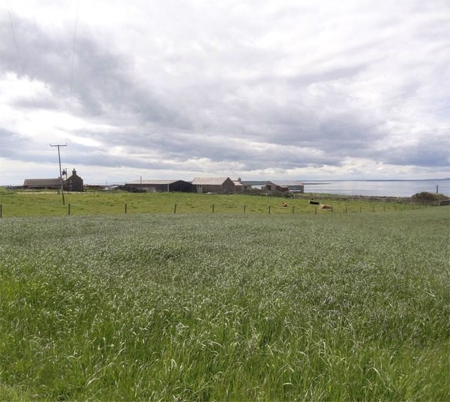
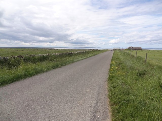
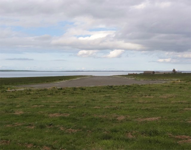
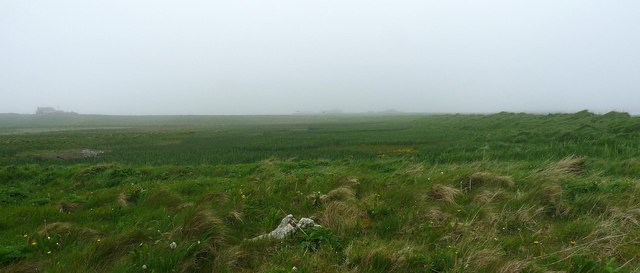
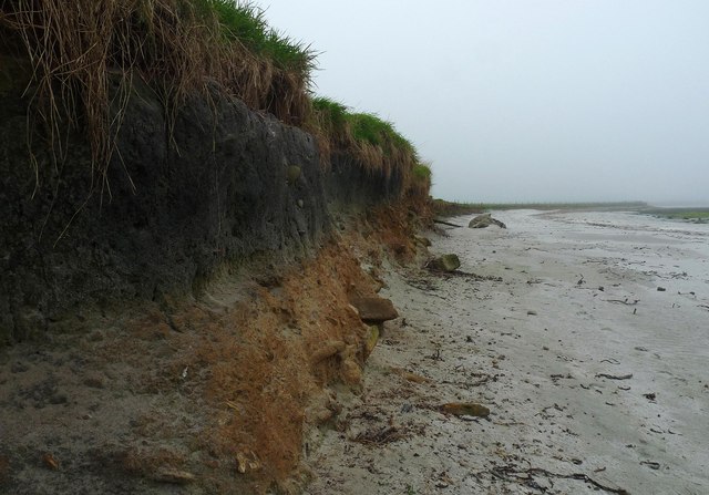
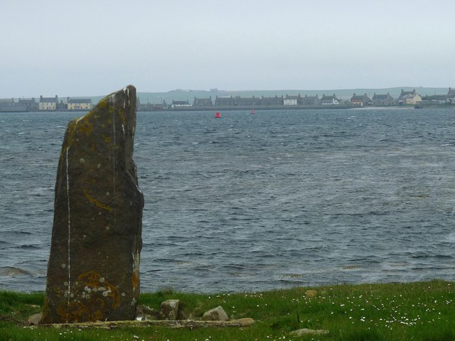
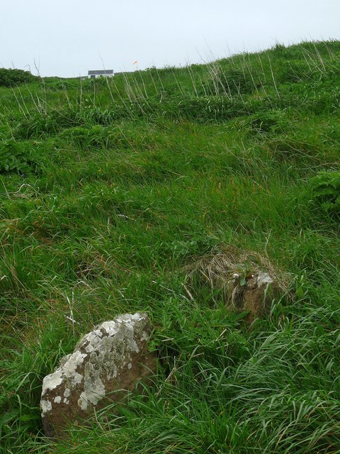
Muller Taing is a coastal marsh located in Orkney, a group of islands situated off the northeastern coast of Scotland. It is known for its unique and diverse ecosystem, consisting of salt marshes and saltings.
The marsh is characterized by its vast stretch of salt-tolerant vegetation, including various grasses, herbs, and shrubs. These plants have adapted to the challenging conditions of the marsh, such as high salinity and frequent tidal inundation. The salt marshes play a vital role in coastal protection, as their vegetation helps stabilize the sediments and reduce erosion.
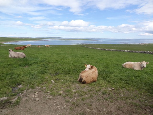
Muller Taing is home to a wide range of bird species, making it a significant birdwatching site. It serves as a breeding ground for several wading birds, such as redshanks, lapwings, and curlews. These birds thrive in the marshes due to the abundance of food sources, including invertebrates and small fish.
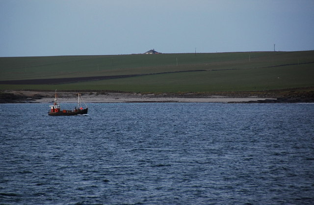
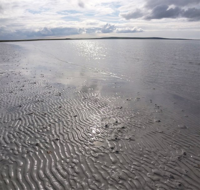
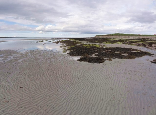
The coastal marsh also attracts various other wildlife, including seals and otters, which can be spotted along the shoreline. The intertidal zone is rich in marine life, with numerous species of fish, crabs, and mollusks inhabiting the area. It is a popular spot for fishing and shellfish gathering.
Muller Taing offers visitors the opportunity to appreciate the beauty of a unique coastal ecosystem. It provides a tranquil environment for nature enthusiasts to explore and observe the diverse flora and fauna that thrive in this delicate habitat. The marsh serves as a reminder of the importance of preserving such habitats and the need for conservation efforts to protect these valuable ecosystems.
If you have any feedback on the listing, please let us know in the comments section below.
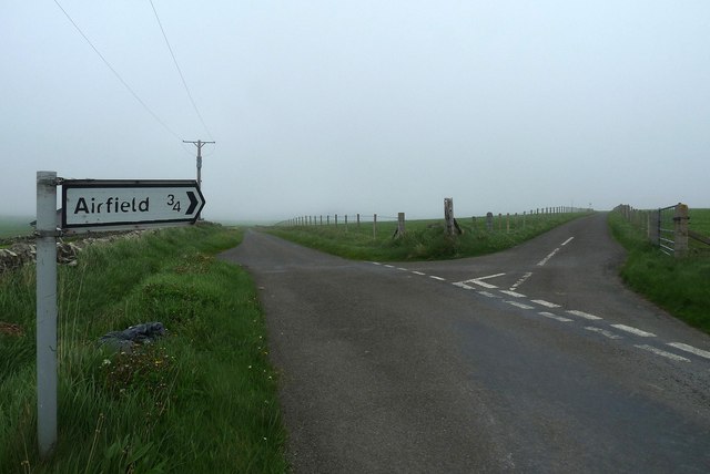
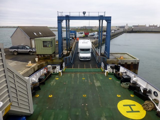
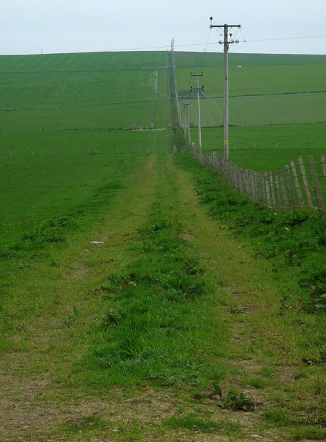
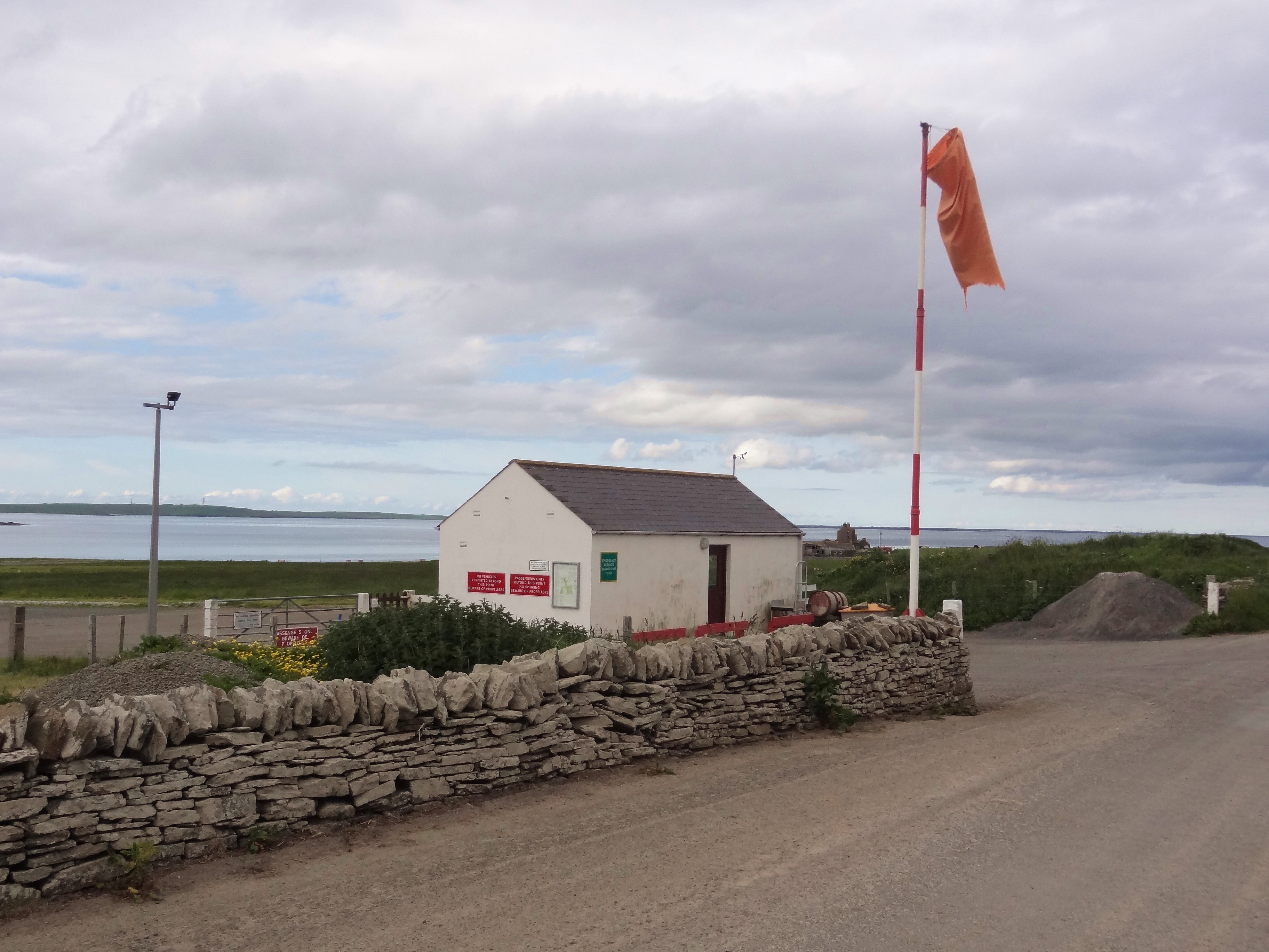
Muller Taing Images
Images are sourced within 2km of 59.151359/-2.6221699 or Grid Reference HY6429. Thanks to Geograph Open Source API. All images are credited.

Muller Taing is located at Grid Ref: HY6429 (Lat: 59.151359, Lng: -2.6221699)
Unitary Authority: Orkney Islands
Police Authority: Highlands and Islands
What 3 Words
///attending.loans.landscape. Near Whitehall, Orkney Islands
Nearby Locations
Related Wikis
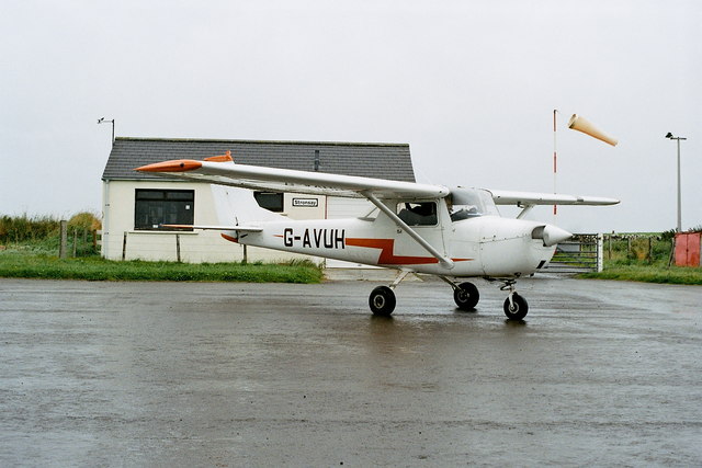
Stronsay Airport
Stronsay Airport (IATA: SOY, ICAO: EGER) is located 15 nautical miles (28 km; 17 mi) northeast by north of Kirkwall Airport on Stronsay, Orkney Islands...

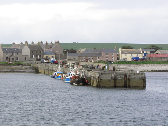
Whitehall, Orkney
Whitehall is the village on the island of Stronsay, in the Orkney Islands of Scotland. It is a small village with about 50 houses. It also has a shop...

Sons of the Most Holy Redeemer
The Congregation of the Sons of the Most Holy Redeemer (Latin: Filii Sanctissimi Redemptoris; FSSR), commonly known as the Transalpine Redemptorists or...

Papa Stronsay
Papa Stronsay (Scots: Papa Stronsee; Old Norse: Papey Minni) is a small island in Orkney, Scotland, lying north east of Stronsay. It is 74 hectares (183...

Holm of Huip
The Holm of Huip is a small island in the Orkney Islands, in Spurness Sound to the north west of Stronsay. The Holm has a cairn on it, and a number of...

Linga Sound, Orkney
Linga Sound is the strait between the islands of Linga Holm and Stronsay in the Orkney islands of Scotland. It leads into St. Catherines Bay from the north...

Linga Holm
Linga Holm, commonly known as Linga, Midgarth and the Holm of Midgarth is an uninhabited Scottish island extending to approximately 57 hectares (0.22...
Stronsay
Stronsay () is an island in Orkney, Scotland. It is known as Orkney's 'Island of Bays', owing to an irregular shape with miles of coastline, with three...
Nearby Amenities
Located within 500m of 59.151359,-2.6221699Have you been to Muller Taing?
Leave your review of Muller Taing below (or comments, questions and feedback).