Guidmas Ayre
Beach in Orkney
Scotland
Guidmas Ayre
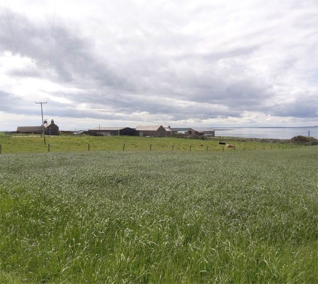
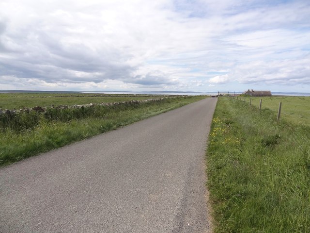
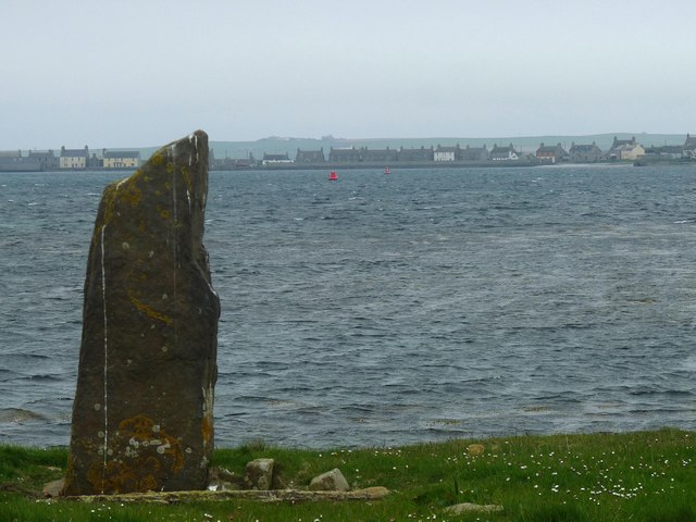
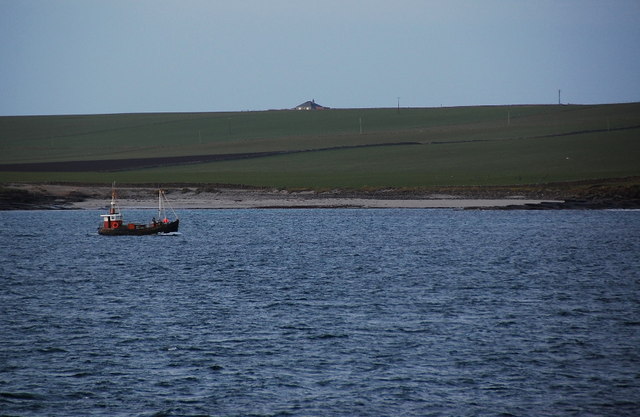
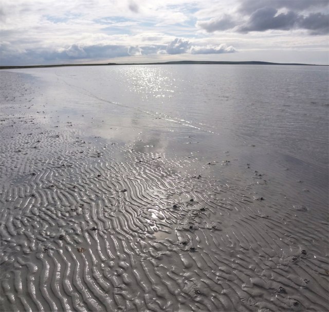
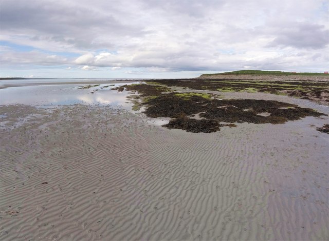
Guidmas Ayre is a picturesque beach located in Orkney, an archipelago in northern Scotland. With its stunning natural beauty and tranquil atmosphere, it has become a popular destination for locals and tourists alike. The beach is situated on the eastern coast of the island, offering breathtaking views of the North Sea.
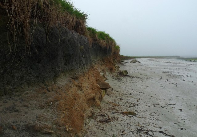
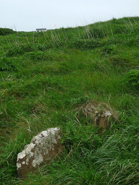
Guidmas Ayre is known for its pristine golden sands, which stretch for approximately 1.5 kilometers. The beach is surrounded by rolling sand dunes and tall grasses, creating a serene and untouched landscape. The crystal-clear waters of the North Sea gently lap against the shore, making it an ideal spot for swimming and water sports during the summer months.
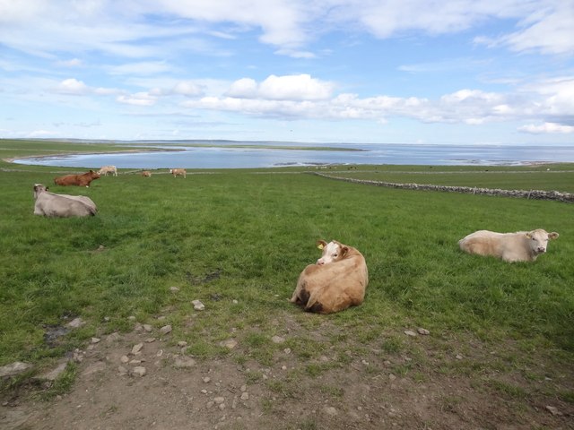
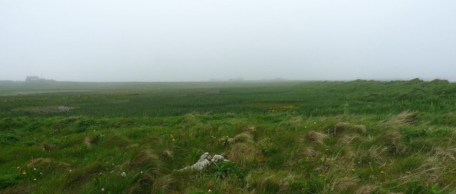
The beach is also home to a diverse range of wildlife, including various bird species such as oystercatchers and terns. Nature enthusiasts can often spot seals basking on the rocks just off the coast. The surrounding dunes and grasslands provide a habitat for a variety of plant species, adding to the area's natural charm.
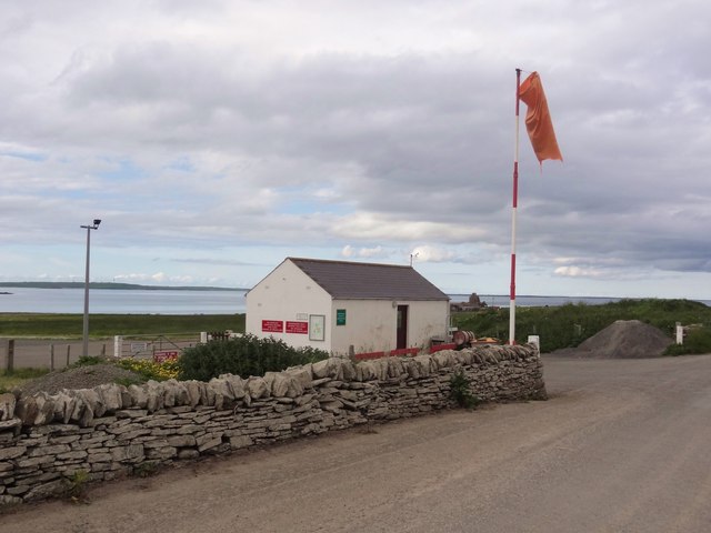
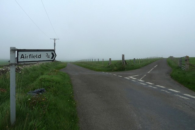
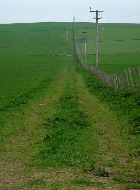
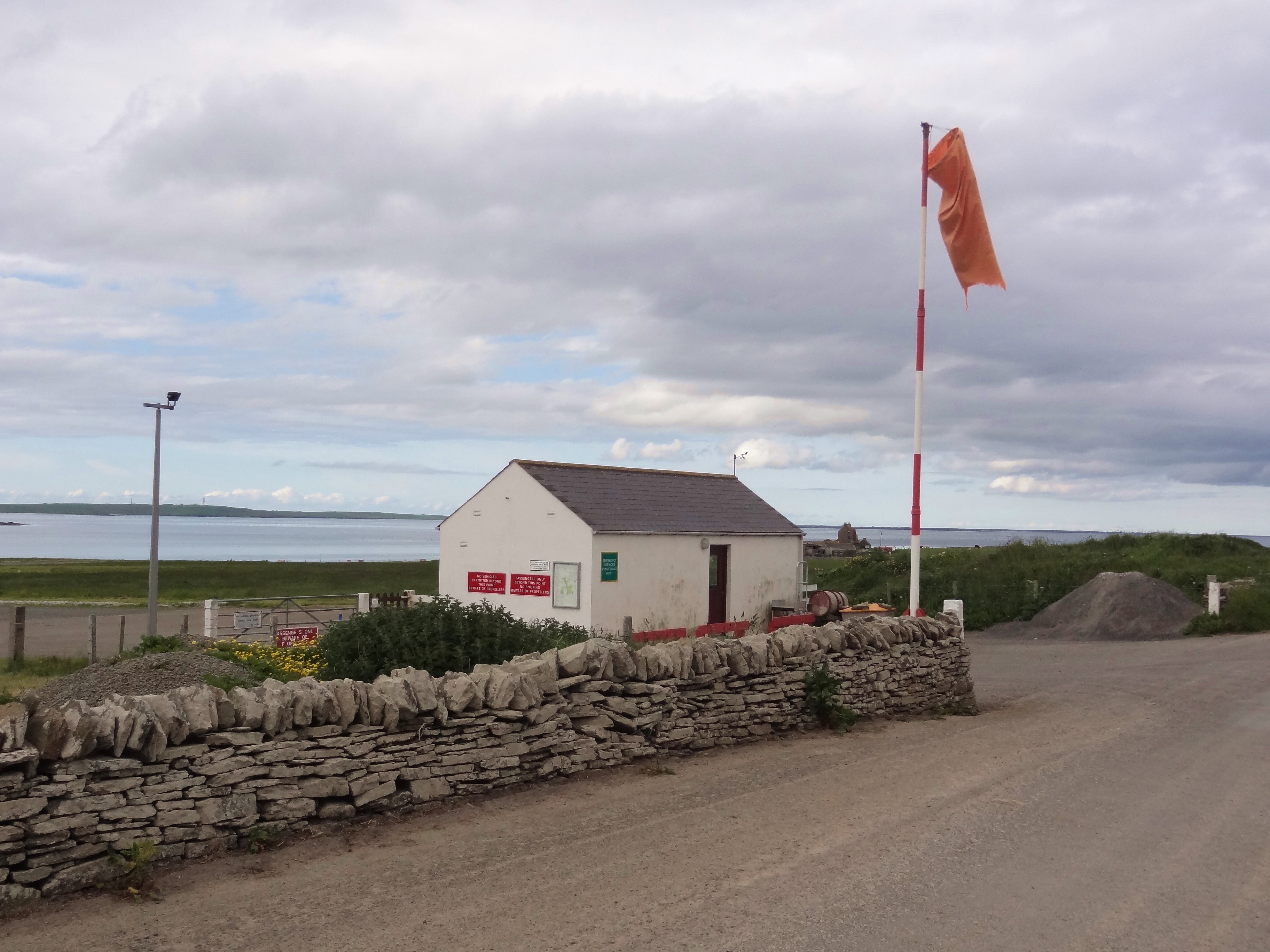
Facilities at Guidmas Ayre are limited, preserving its unspoiled and peaceful ambiance. Visitors can enjoy long walks along the shore, take in the breathtaking views, or simply relax and soak up the tranquility of the surroundings. The beach is easily accessible by car, and there is ample parking available nearby.
Overall, Guidmas Ayre offers a serene and idyllic beach experience, with its pristine sands, stunning views, and abundant wildlife. It is a must-visit destination for nature lovers and those seeking a peaceful escape in the heart of Orkney.
If you have any feedback on the listing, please let us know in the comments section below.
Guidmas Ayre Images
Images are sourced within 2km of 59.147844/-2.6265462 or Grid Reference HY6429. Thanks to Geograph Open Source API. All images are credited.

Guidmas Ayre is located at Grid Ref: HY6429 (Lat: 59.147844, Lng: -2.6265462)
Unitary Authority: Orkney Islands
Police Authority: Highlands and Islands
What 3 Words
///eyeful.debut.shun. Near Whitehall, Orkney Islands
Nearby Locations
Related Wikis
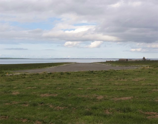
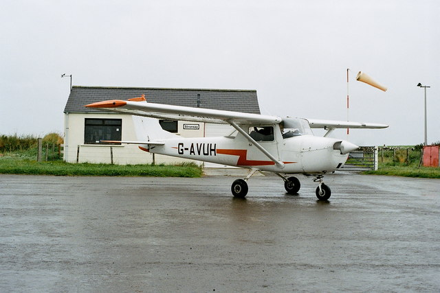
Stronsay Airport
Stronsay Airport (IATA: SOY, ICAO: EGER) is located 15 nautical miles (28 km; 17 mi) northeast by north of Kirkwall Airport on Stronsay, Orkney Islands...

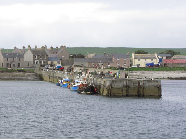
Whitehall, Orkney
Whitehall is the village on the island of Stronsay, in the Orkney Islands of Scotland. It is a small village with about 50 houses. It also has a shop...

Linga Sound, Orkney
Linga Sound is the strait between the islands of Linga Holm and Stronsay in the Orkney islands of Scotland. It leads into St. Catherines Bay from the north...

Sons of the Most Holy Redeemer
The Congregation of the Sons of the Most Holy Redeemer (Latin: Filii Sanctissimi Redemptoris; FSSR), commonly known as the Transalpine Redemptorists or...

Papa Stronsay
Papa Stronsay (Scots: Papa Stronsee; Old Norse: Papey Minni) is a small island in Orkney, Scotland, lying north east of Stronsay. It is 74 hectares (183...

Holm of Huip
The Holm of Huip is a small island in the Orkney Islands, in Spurness Sound to the north west of Stronsay. The Holm has a cairn on it, and a number of...

Linga Holm
Linga Holm, commonly known as Linga, Midgarth and the Holm of Midgarth is an uninhabited Scottish island extending to approximately 57 hectares (0.22...
Stronsay
Stronsay () is an island in Orkney, Scotland. It is known as Orkney's 'Island of Bays', owing to an irregular shape with miles of coastline, with three...
Nearby Amenities
Located within 500m of 59.147844,-2.6265462Have you been to Guidmas Ayre?
Leave your review of Guidmas Ayre below (or comments, questions and feedback).