The Pool
Bay in Fife
Scotland
The Pool
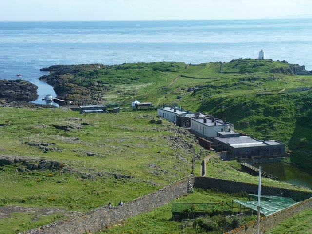
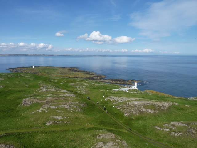
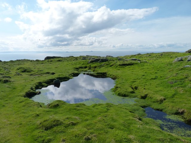
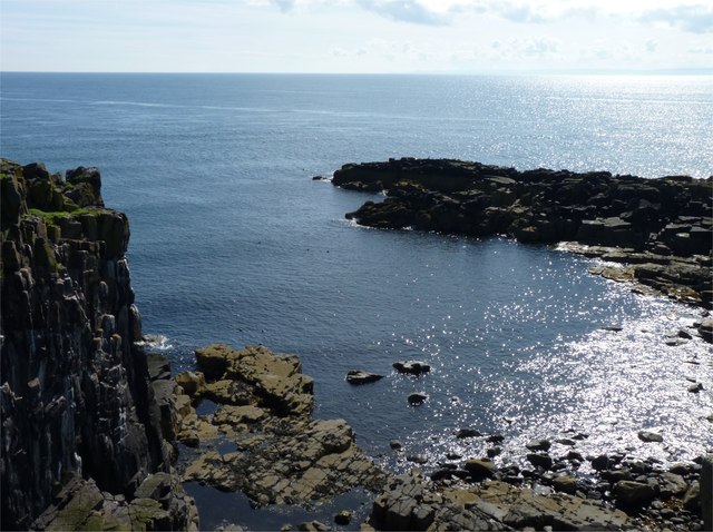
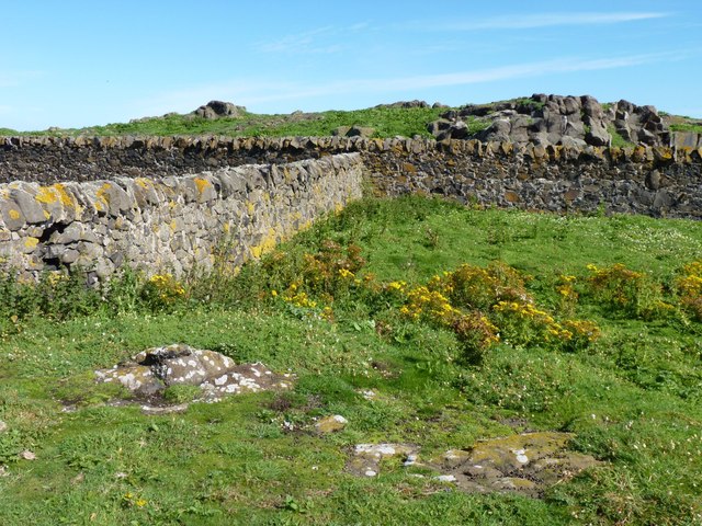
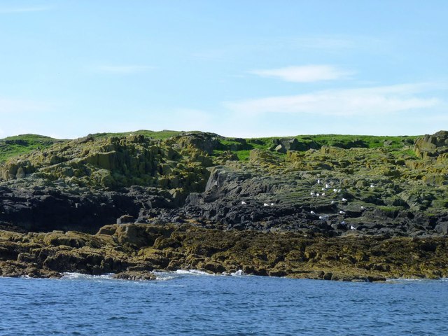
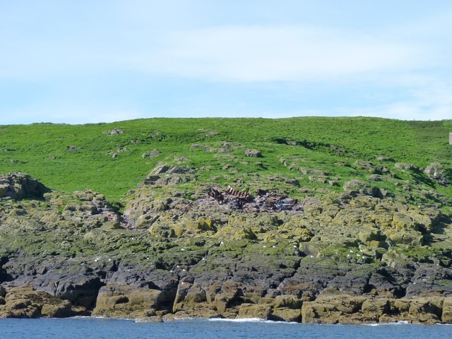
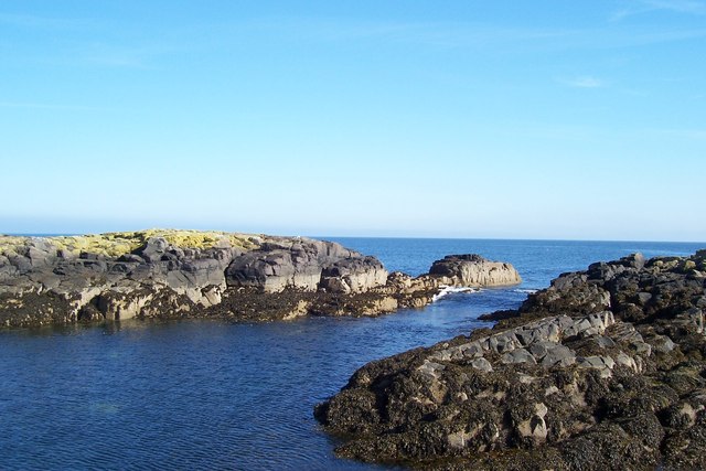
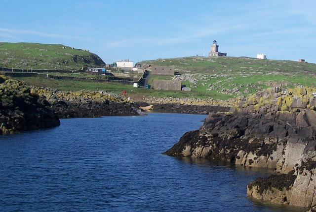
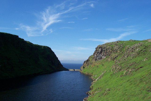
The Pool, Fife (Bay) is a natural tidal pool located on the eastern coast of Scotland, specifically in the town of Fife. It is a popular destination for locals and tourists alike, offering a unique and stunning location for relaxation and recreational activities.
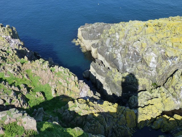
The pool itself is a small bay surrounded by rocky cliffs, providing a sense of seclusion and tranquility. The crystal-clear waters of the pool are known for their vibrant blue hue, creating a picturesque setting that is perfect for swimming, snorkeling, and even diving. The tidal nature of the pool means that its water levels fluctuate with the tides, creating a constantly changing landscape.
Surrounding the bay are sandy beaches, ideal for sunbathing and picnicking. The Pool, Fife is also home to a diverse range of marine life, making it a popular spot for wildlife enthusiasts and nature lovers. Visitors can often spot various species of fish, crabs, and even seals in the pool's waters.
Access to The Pool, Fife is relatively easy, with a nearby car park available for visitors. The bay is also accessible by foot, with a short walk from the town center. Facilities such as toilets and refreshment stands can be found in close proximity to the pool, ensuring visitors have a comfortable and enjoyable experience.
Overall, The Pool, Fife (Bay) offers a serene and scenic escape where visitors can immerse themselves in the beauty of Scotland's coastal landscape, indulge in water activities, or simply enjoy the peaceful atmosphere.
If you have any feedback on the listing, please let us know in the comments section below.
The Pool Images
Images are sourced within 2km of 56.191513/-2.5675036 or Grid Reference NO6400. Thanks to Geograph Open Source API. All images are credited.
The Pool is located at Grid Ref: NO6400 (Lat: 56.191513, Lng: -2.5675036)
Unitary Authority: Fife
Police Authority: Fife
What 3 Words
///fillings.award.forge. Near Crail, Fife
Nearby Locations
Related Wikis

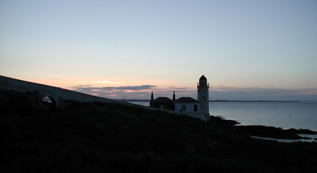
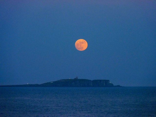
Isle of May
The Isle of May is located in the north of the outer Firth of Forth, approximately 8 km (5.0 mi) off the coast of mainland Scotland. It is about 1.5 kilometres...

Battle of May Island
The Battle of May Island is the name given to the series of accidents that occurred during Operation E.C.1 in 1918. Named after the Isle of May, a nearby...

Isle of May Priory
The Isle of May Priory was a monastery and community of Benedictine monks established for 9 monks of Reading Abbey on the Isle of May in the Firth of Forth...
SS Sneland I
Sneland I (Norwegian for “snowland one”) was a 1,791 GRT cargo ship which was built by Nüscke & Co. shipyard at Stettin-Grabow (then Germany) in 1922....

Crail Castle
Crail Castle was a castle that was located in Crail, Fife, Scotland. Crail became a Royal Burgh in the 12th century. The castle was frequented by King...

Cellardyke
Cellardyke is a village in the East Neuk of Fife, Scotland. The village is to the immediate east of Anstruther (the two effectively being conjoined) and...

Cellardyke Town Hall
Cellardyke Town Hall is a municipal structure in Tolbooth Wynd, Cellardyke, Fife, Scotland. The building accommodates a local history museum and is also...

Golf Hotel
The Golf Hotel is a hotel and restaurant in Crail, Fife, Scotland. It is a Category A listed building dating to the early 18th century, although one source...
Nearby Amenities
Located within 500m of 56.191513,-2.5675036Have you been to The Pool?
Leave your review of The Pool below (or comments, questions and feedback).