Taing of the Pund
Coastal Feature, Headland, Point in Orkney
Scotland
Taing of the Pund
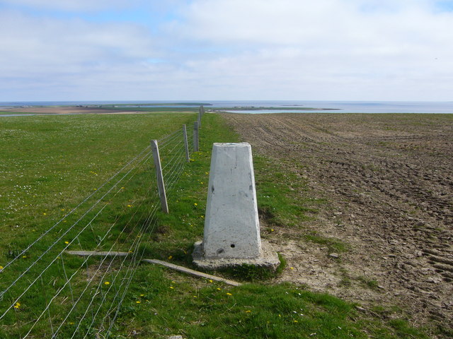
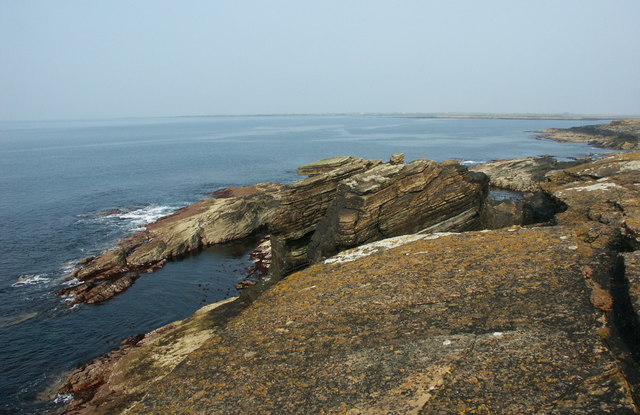
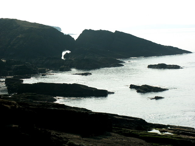
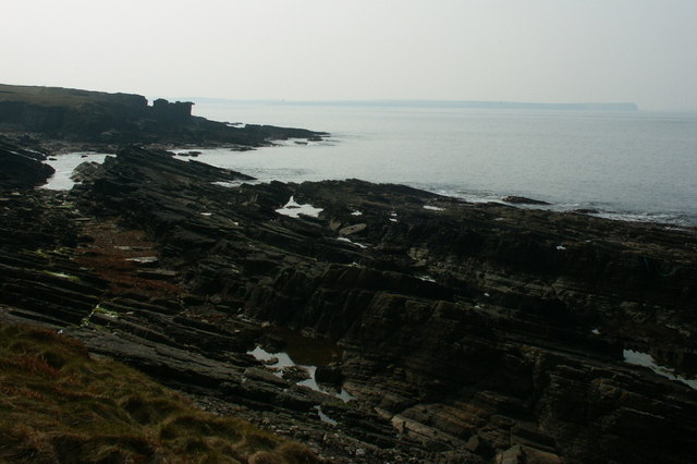
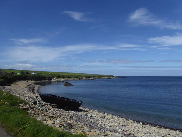
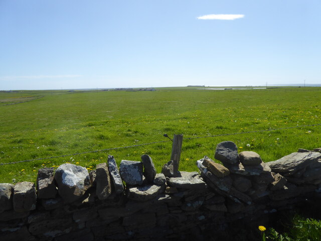
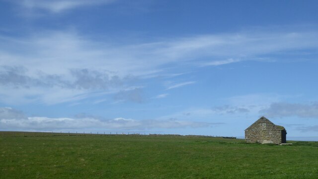
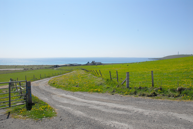
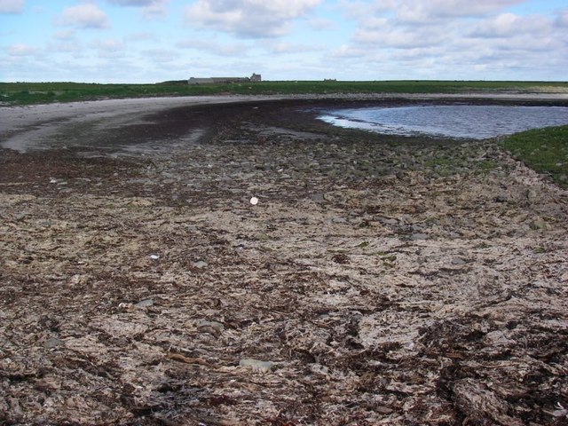
Taing of the Pund is a prominent coastal feature located in Orkney, an archipelago situated off the northeastern coast of Scotland. It is a headland that extends into the North Sea, forming a distinct point that is known for its rugged beauty and geological significance.
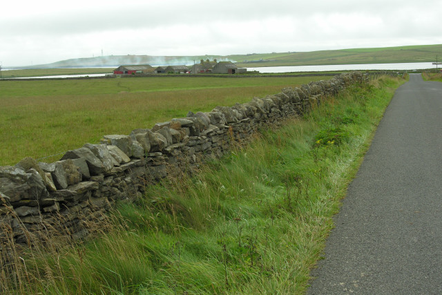
The headland is composed of layers of red sandstone, which have been eroded by the relentless forces of wind and water over millions of years. This erosion has sculpted the cliffs of Taing of the Pund into dramatic and jagged formations, creating a visually striking landscape.
At its highest point, the headland reaches an elevation of approximately 30 meters (98 feet) above sea level. From this vantage point, visitors can enjoy breathtaking panoramic views of the surrounding coastline, including the crashing waves, the nearby islands, and the distant horizon.
Taing of the Pund also serves as an important habitat for a variety of coastal wildlife. The cliffs provide nesting sites for seabirds such as guillemots, puffins, and kittiwakes. On the surrounding shores, visitors may spot seals basking in the sun or hunting for fish in the shallow waters.
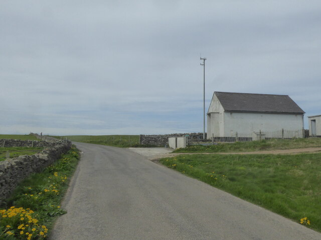
Due to its natural beauty and ecological significance, Taing of the Pund has become a popular destination for nature enthusiasts, hikers, and photographers. Its accessibility, combined with its stunning scenery and diverse wildlife, make it an ideal spot to immerse oneself in the raw beauty of Orkney's coastal landscape.
If you have any feedback on the listing, please let us know in the comments section below.
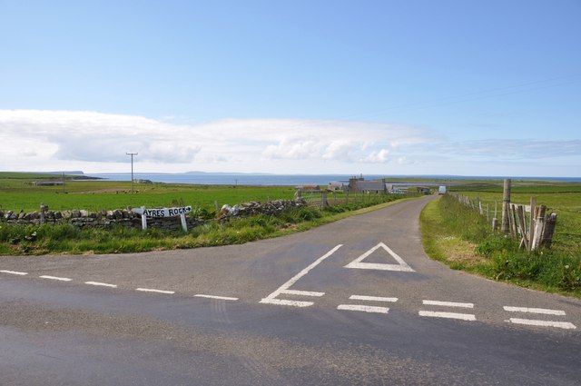
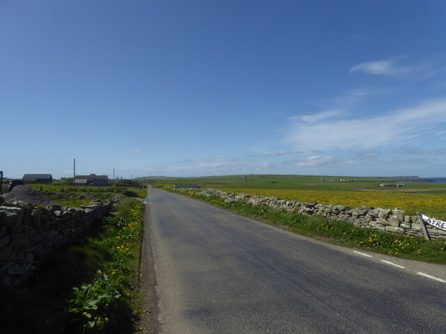
Taing of the Pund Images
Images are sourced within 2km of 59.257505/-2.6205618 or Grid Reference HY6441. Thanks to Geograph Open Source API. All images are credited.

Taing of the Pund is located at Grid Ref: HY6441 (Lat: 59.257505, Lng: -2.6205618)
Unitary Authority: Orkney Islands
Police Authority: Highlands and Islands
What 3 Words
///basically.responds.knee. Near Kettletoft, Orkney Islands
Nearby Locations
Related Wikis

Broughtown
Broughtown is a village on the island of Sanday, in Orkney, Scotland. The settlement is within the parish of Cross and Burness. Sanday Airport is adjacent...

Sanday Airport
Sanday Airport (IATA: NDY, ICAO: EGES) is located 20 NM (37 km; 23 mi) north northeast of Kirkwall Airport on Sanday, Orkney Islands, Scotland. Sanday...

Kettletoft
Kettletoft is a settlement on the island of Sanday in Orkney, Scotland. The B9068 road runs from Kettletoft to Scar and the B9069 from Kettletoft to Northwall...

Sanday, Orkney
Sanday (, Scots: Sandee) is one of the inhabited islands of Orkney that lies off the north coast of mainland Scotland. With an area of 50.43 km2 (19.5...

Scar, Orkney
Scar is a village and farm complex on the island of Sanday in Orkney, Scotland. The B9068 road runs from Scar to Kettletoft. The Scar boat burial was found...

Scar boat burial
The Scar boat burial is a Viking boat burial near the village of Scar, on Sanday, in Orkney, Scotland. The burial, which dates to between 875 and 950 AD...

Braeswick
Braeswick is a settlement on the island of Sanday, in Orkney, Scotland. The settlement is within the parish of Cross and Burness, and is situated on the...
Sanday Light Railway
The Sanday Light Railway was a privately owned ridable miniature railway situated in Braeswick, on the island of Sanday, Orkney, Scotland. The railway...
Nearby Amenities
Located within 500m of 59.257505,-2.6205618Have you been to Taing of the Pund?
Leave your review of Taing of the Pund below (or comments, questions and feedback).