Geo Ginnies
Coastal Feature, Headland, Point in Orkney
Scotland
Geo Ginnies
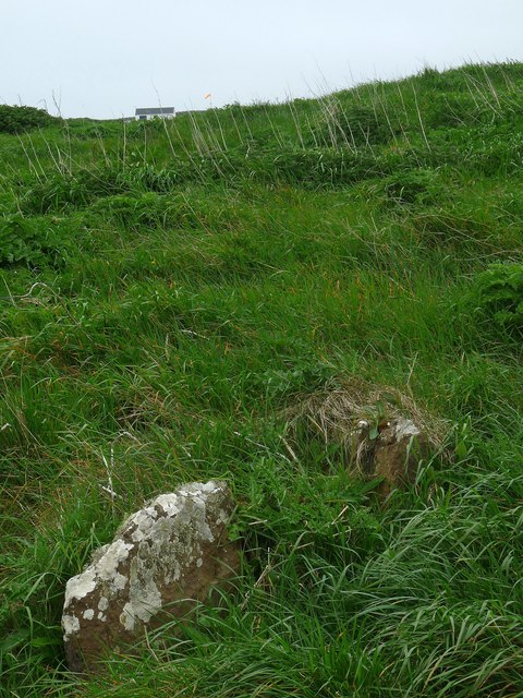
Geo Ginnies is a prominent coastal feature located in Orkney, a group of islands in Scotland. It can be categorized as a headland or a point due to its unique geographical formation.
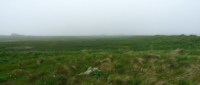
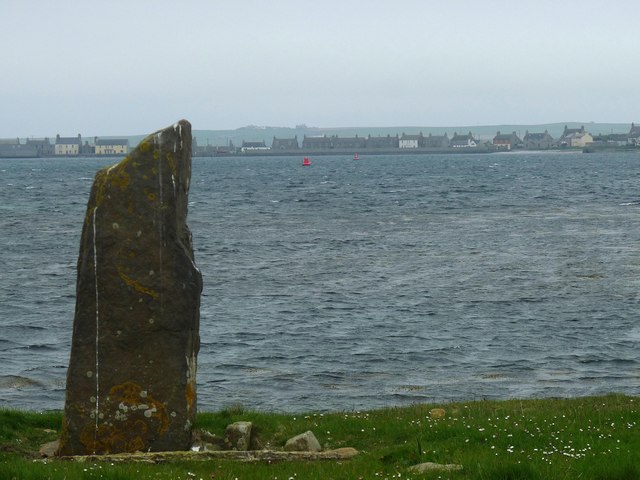
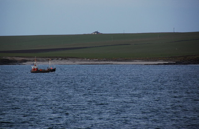
Situated on the eastern coast of the largest Orkney island, Mainland, Geo Ginnies is known for its striking cliffs that rise steeply from the North Sea. The headland is composed of layers of sedimentary rock, such as sandstone and limestone, which have been eroded by the relentless force of the waves over thousands of years. This erosion has resulted in the formation of dramatic sea stacks and caves, making it a popular destination for both geology enthusiasts and tourists.
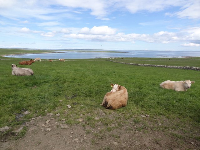
The headland offers breathtaking views of the surrounding coastline and the vast expanse of the ocean. It is also home to a diverse range of flora and fauna, including seabirds such as puffins, guillemots, and fulmars. The area surrounding Geo Ginnies is designated as a Special Protection Area due to its importance as a nesting site for these seabirds.
In addition to its natural beauty, Geo Ginnies holds historical significance. The remains of an Iron Age broch, a circular stone tower, can be found nearby, providing evidence of human settlement in the area dating back thousands of years.
Overall, Geo Ginnies is a captivating coastal feature that showcases the power of nature and offers a glimpse into the rich history of Orkney.
If you have any feedback on the listing, please let us know in the comments section below.
Geo Ginnies Images
Images are sourced within 2km of 59.157508/-2.6207603 or Grid Reference HY6430. Thanks to Geograph Open Source API. All images are credited.


Geo Ginnies is located at Grid Ref: HY6430 (Lat: 59.157508, Lng: -2.6207603)
Unitary Authority: Orkney Islands
Police Authority: Highlands and Islands
What 3 Words
///yelled.swims.slugs. Near Whitehall, Orkney Islands
Nearby Locations
Related Wikis
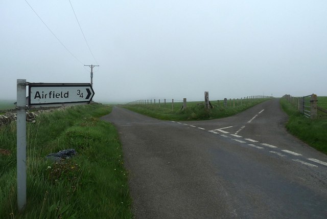
Stronsay Airport
Stronsay Airport (IATA: SOY, ICAO: EGER) is located 15 nautical miles (28 km; 17 mi) northeast by north of Kirkwall Airport on Stronsay, Orkney Islands...

Holm of Huip
The Holm of Huip is a small island in the Orkney Islands, in Spurness Sound to the north west of Stronsay. The Holm has a cairn on it, and a number of...

Sons of the Most Holy Redeemer
The Congregation of the Sons of the Most Holy Redeemer (Latin: Filii Sanctissimi Redemptoris; FSSR), commonly known as the Transalpine Redemptorists or...

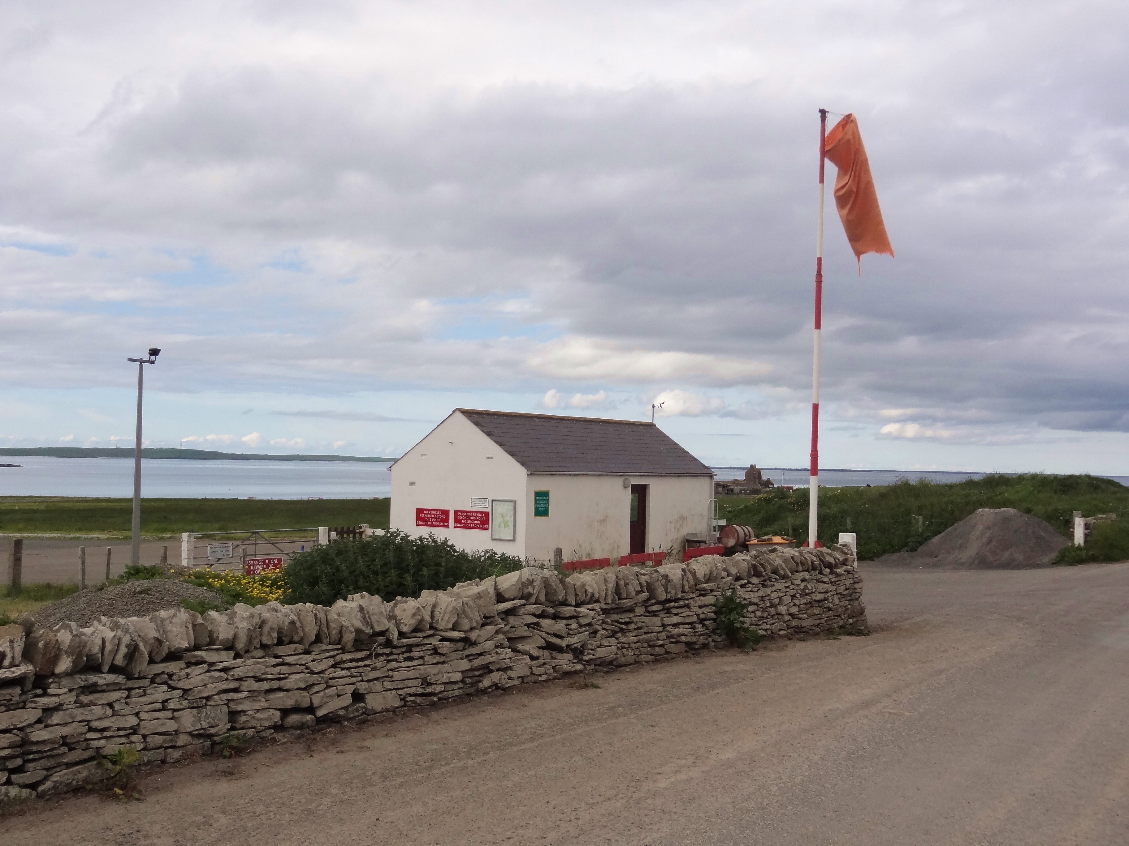
Whitehall, Orkney
Whitehall is the village on the island of Stronsay, in the Orkney Islands of Scotland. It is a small village with about 50 houses. It also has a shop...
Related Videos

Our Lady's Chapel Withehall Stronsay island Orkney
Our Lady's Chapel Stronsay island Orkney If you like, follow me❤️: Youtube: ...
Windsurfing from Stronsay to Huip Holm, Orkney
Windsurfing from Oddie Sands Stronsay to Huip Holm on 23-09-22 Quick trip over and one of my first outings on the board in the ...
Gurkha Media Coordinator Yam Gurung at Gurkha hunger strike camp
Gurkha Media Coordinator Yam Gurung at Gurkha hunger strike camp, Whitehall, London UK 7th August 2021.

Gurkha Campaign director Gyanraj Rai on hunger strike
Gurkha Campaign director Gyanraj Rai on hunger strike appeal at Whitehall London 7th August 2021.
Nearby Amenities
Located within 500m of 59.157508,-2.6207603Have you been to Geo Ginnies?
Leave your review of Geo Ginnies below (or comments, questions and feedback).