Brae Geo
Coastal Feature, Headland, Point in Orkney
Scotland
Brae Geo
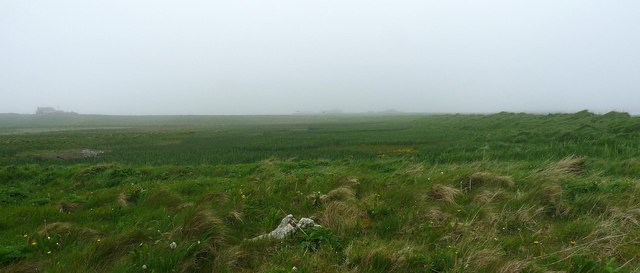
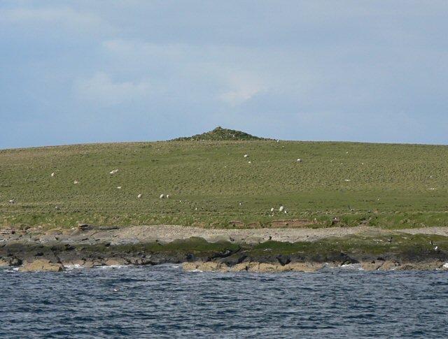
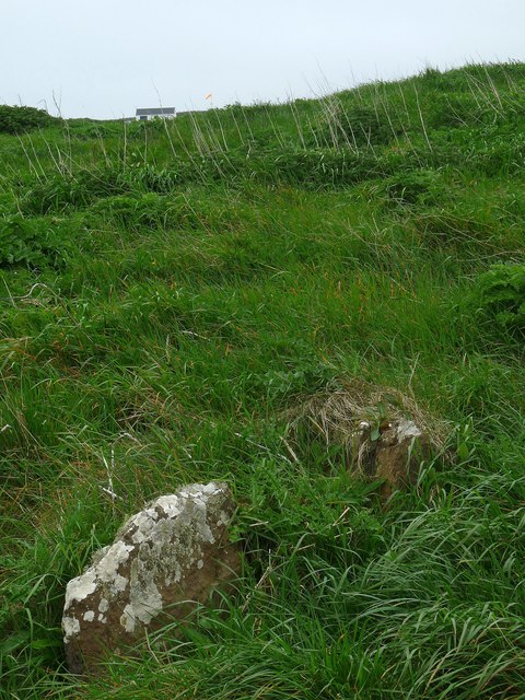
Brae Geo is a prominent coastal feature located in Orkney, a group of islands situated off the northeastern coast of Scotland. It is primarily known for being a headland or point that juts out into the North Sea. The name "Brae Geo" is derived from the Old Norse language and translates to "slope inlet" in English.
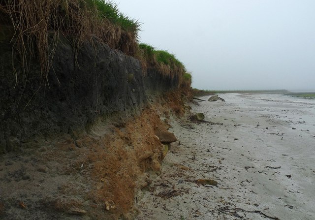
This coastal feature is characterized by its rugged and imposing cliffs, which reach heights of up to 50 meters (164 feet) above sea level. The cliffs are composed of layers of sedimentary rock, including sandstone and shale, which provide a striking contrast to the blue waters of the North Sea. The exposed rock formations offer a glimpse into the geological history of the area, displaying evidence of ancient marine life and geological processes.
Brae Geo attracts a range of wildlife, including various bird species such as fulmars, guillemots, and kittiwakes, which nest on the cliffs. The surrounding waters are home to a diverse marine ecosystem, with seals often seen basking on the rocks and numerous fish species inhabiting the coastal waters.
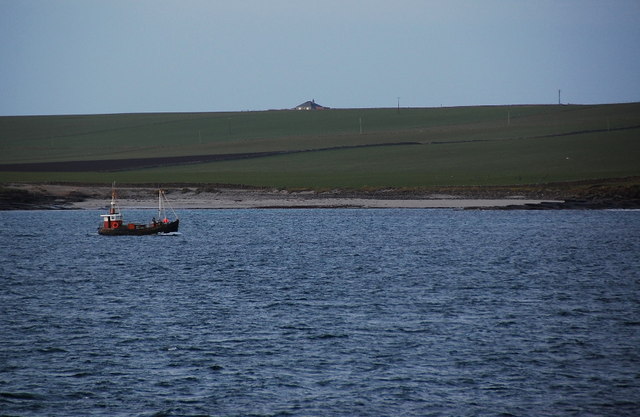
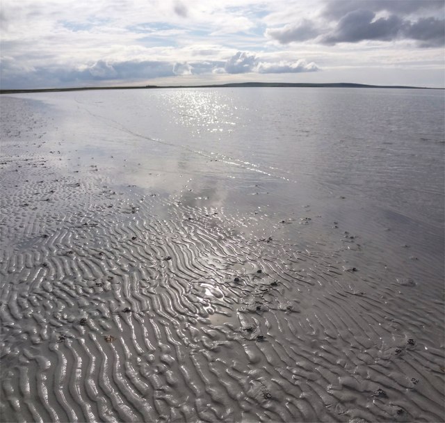
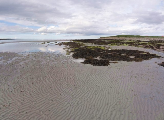
The headland provides visitors with breathtaking panoramic views of the surrounding coastline and the vast expanse of the North Sea. Its remote location and unspoiled natural beauty make it a popular destination for nature enthusiasts and photographers. Brae Geo offers opportunities for coastal walks, bird-watching, and exploration of the unique flora and fauna that thrive in this rugged coastal environment.
Overall, Brae Geo is a notable coastal feature in Orkney, characterized by its striking cliffs, diverse wildlife, and stunning views.
If you have any feedback on the listing, please let us know in the comments section below.
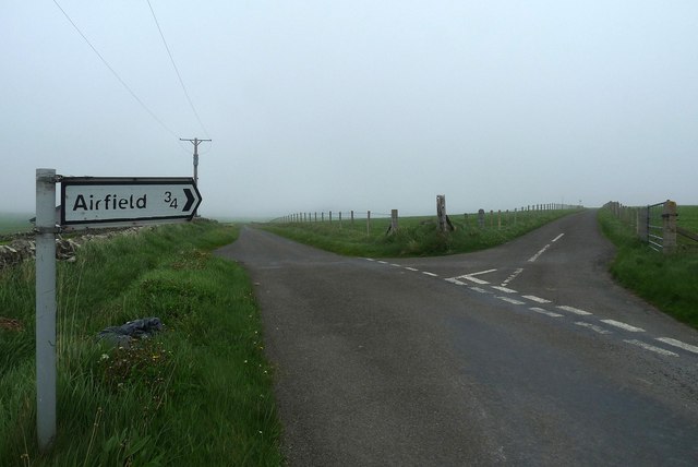
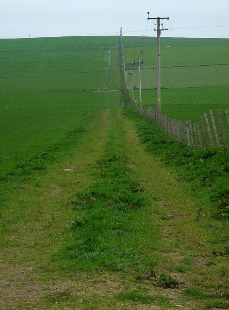
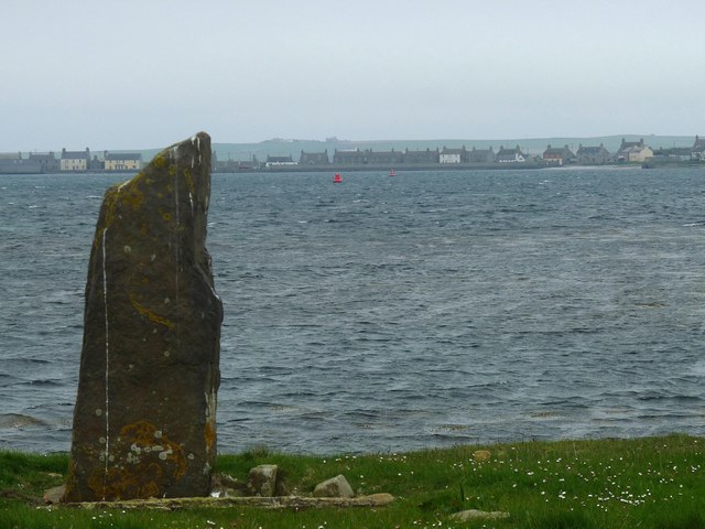
Brae Geo Images
Images are sourced within 2km of 59.159278/-2.6262657 or Grid Reference HY6430. Thanks to Geograph Open Source API. All images are credited.


Brae Geo is located at Grid Ref: HY6430 (Lat: 59.159278, Lng: -2.6262657)
Unitary Authority: Orkney Islands
Police Authority: Highlands and Islands
What 3 Words
///flashback.washing.quite. Near Whitehall, Orkney Islands
Nearby Locations
Related Wikis
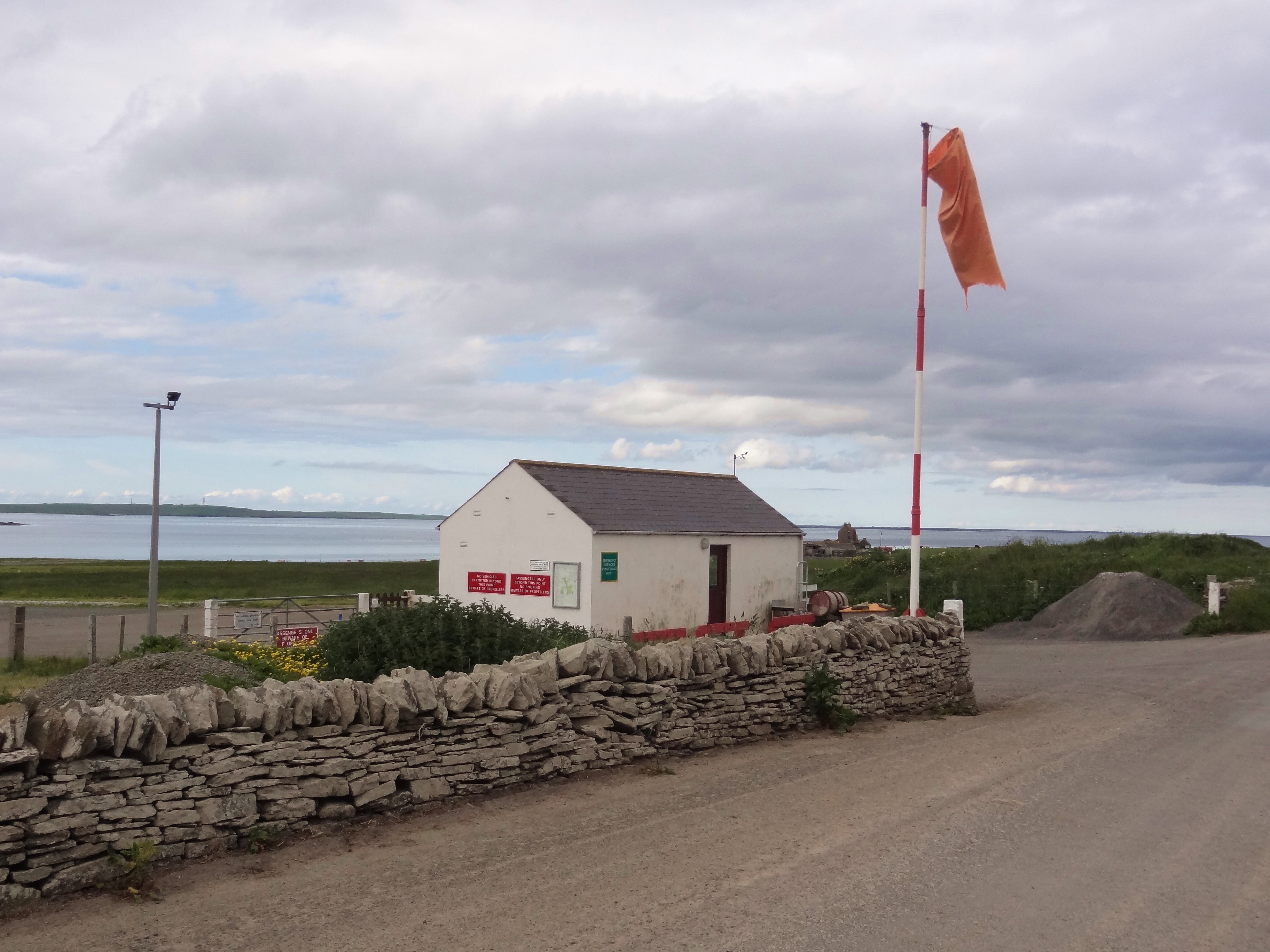
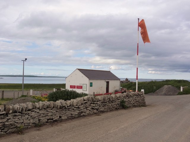
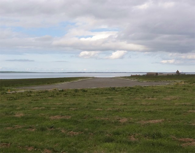
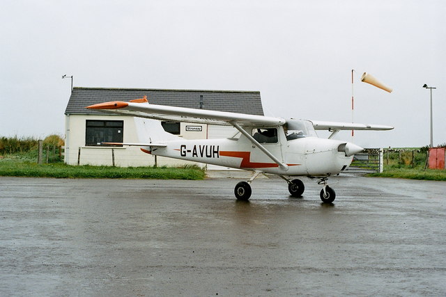
Stronsay Airport
Stronsay Airport (IATA: SOY, ICAO: EGER) is located 15 nautical miles (28 km; 17 mi) northeast by north of Kirkwall Airport on Stronsay, Orkney Islands...

Holm of Huip
The Holm of Huip is a small island in the Orkney Islands, in Spurness Sound to the north west of Stronsay. The Holm has a cairn on it, and a number of...

Sons of the Most Holy Redeemer
The Congregation of the Sons of the Most Holy Redeemer (Latin: Filii Sanctissimi Redemptoris; FSSR), commonly known as the Transalpine Redemptorists or...

Whitehall, Orkney
Whitehall is the village on the island of Stronsay, in the Orkney Islands of Scotland. It is a small village with about 50 houses. It also has a shop...
Nearby Amenities
Located within 500m of 59.159278,-2.6262657Have you been to Brae Geo?
Leave your review of Brae Geo below (or comments, questions and feedback).