Huip Ness
Coastal Feature, Headland, Point in Orkney
Scotland
Huip Ness
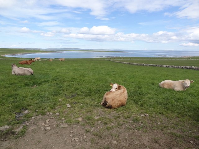
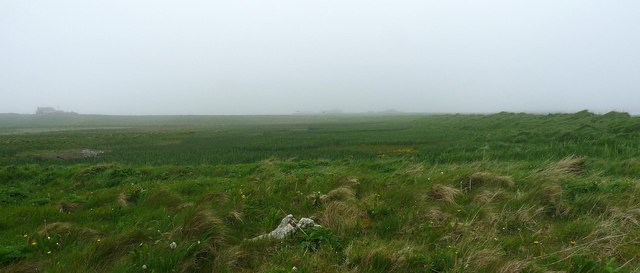
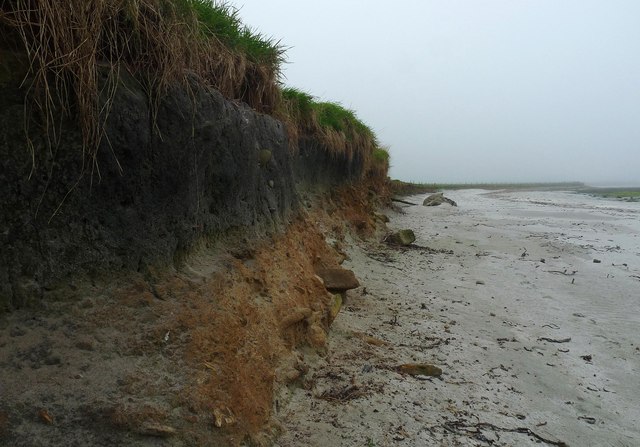
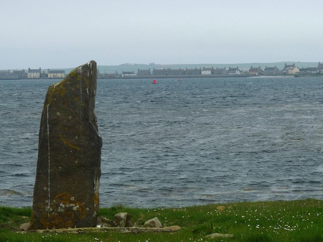
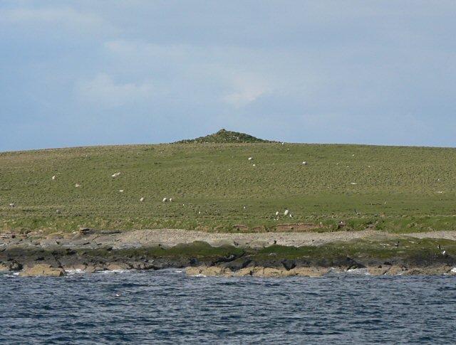
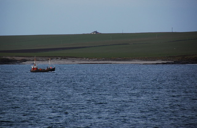
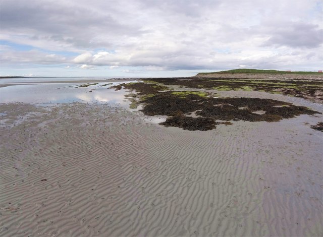
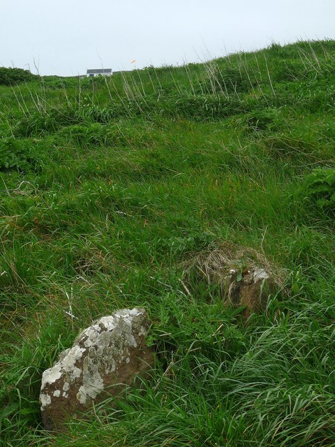
Huip Ness is a prominent headland located on the western coast of the Orkney Islands in Scotland. It juts out into the Atlantic Ocean, offering stunning views of the surrounding rugged coastline and the open sea. The headland is characterized by steep cliffs that rise dramatically from the water, with a rocky shoreline below.
Huip Ness is a popular spot for birdwatching, as it is home to a variety of seabirds such as puffins, guillemots, and razorbills. Visitors can often see these birds nesting on the cliffs or soaring overhead.
The headland is also known for its archaeological significance, with several ancient sites located in the vicinity. These include burial mounds, standing stones, and remains of ancient settlements, providing a glimpse into the history of the Orkney Islands.
Overall, Huip Ness is a picturesque and historically rich coastal feature that offers visitors a chance to connect with nature and explore the island's past. Its rugged beauty and diverse wildlife make it a must-see destination for those visiting the Orkney Islands.
If you have any feedback on the listing, please let us know in the comments section below.
Huip Ness Images
Images are sourced within 2km of 59.156261/-2.6243222 or Grid Reference HY6430. Thanks to Geograph Open Source API. All images are credited.


Huip Ness is located at Grid Ref: HY6430 (Lat: 59.156261, Lng: -2.6243222)
Unitary Authority: Orkney Islands
Police Authority: Highlands and Islands
What 3 Words
///shredding.thrones.swift. Near Whitehall, Orkney Islands
Nearby Locations
Related Wikis
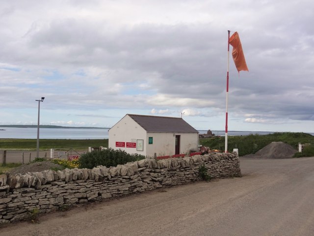
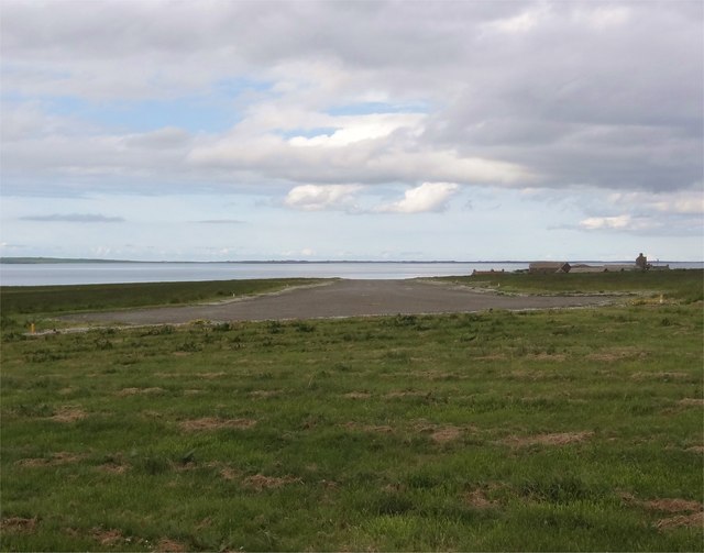
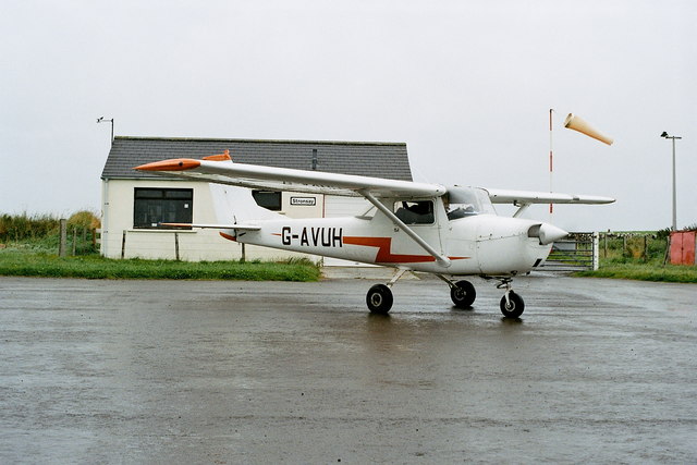
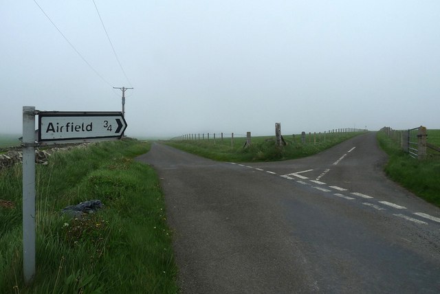
Stronsay Airport
Stronsay Airport (IATA: SOY, ICAO: EGER) is located 15 nautical miles (28 km; 17 mi) northeast by north of Kirkwall Airport on Stronsay, Orkney Islands...

Holm of Huip
The Holm of Huip is a small island in the Orkney Islands, in Spurness Sound to the north west of Stronsay. The Holm has a cairn on it, and a number of...

Sons of the Most Holy Redeemer
The Congregation of the Sons of the Most Holy Redeemer (Latin: Filii Sanctissimi Redemptoris; FSSR), commonly known as the Transalpine Redemptorists or...

Whitehall, Orkney
Whitehall is the village on the island of Stronsay, in the Orkney Islands of Scotland. It is a small village with about 50 houses. It also has a shop...
Nearby Amenities
Located within 500m of 59.156261,-2.6243222Have you been to Huip Ness?
Leave your review of Huip Ness below (or comments, questions and feedback).