Landward Geo
Coastal Feature, Headland, Point in Orkney
Scotland
Landward Geo
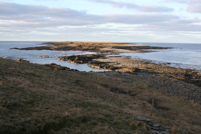
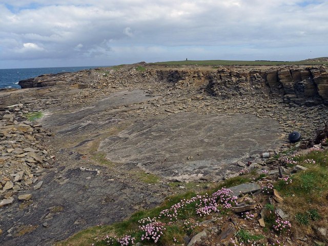
Landward Geo is a prominent coastal feature located in Orkney, an archipelago situated off the northeastern coast of Scotland. It is specifically categorized as a headland, which is a narrow piece of land that projects into the sea. The geo is positioned on the northeastern coast of the island of Mainland, facing the North Sea.
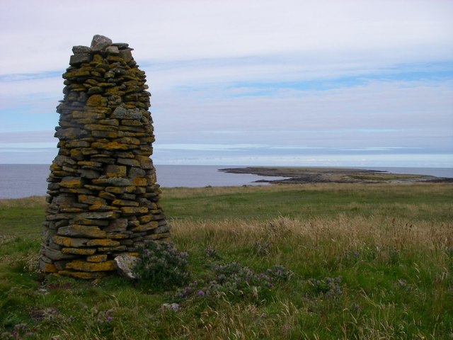
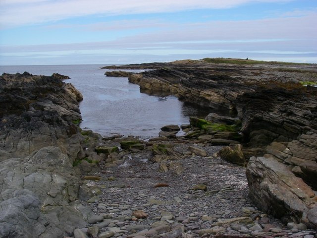
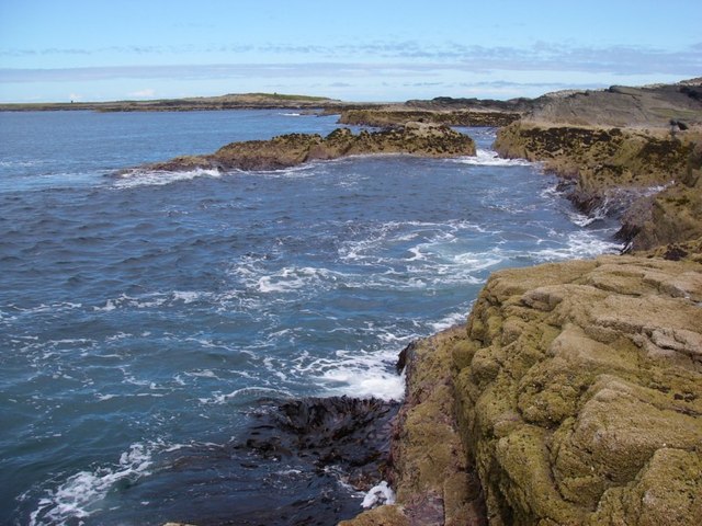
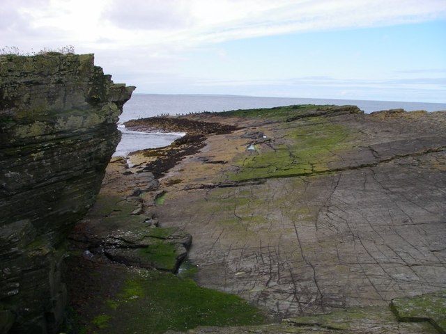
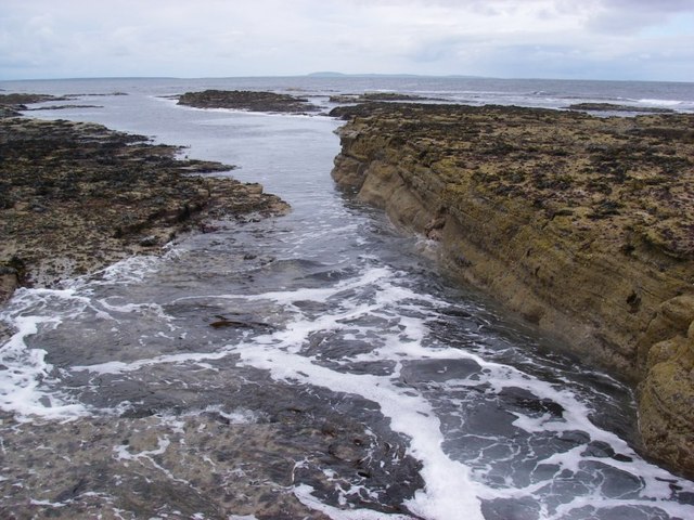
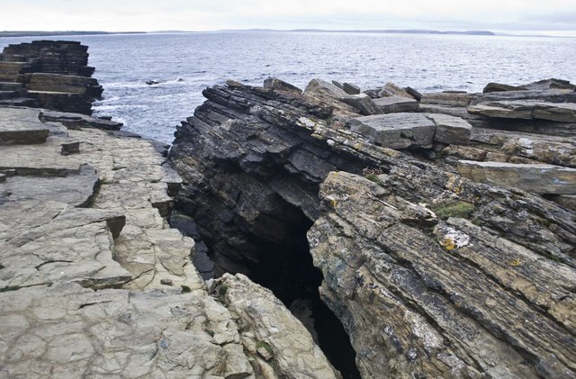
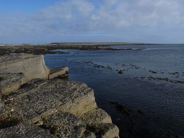
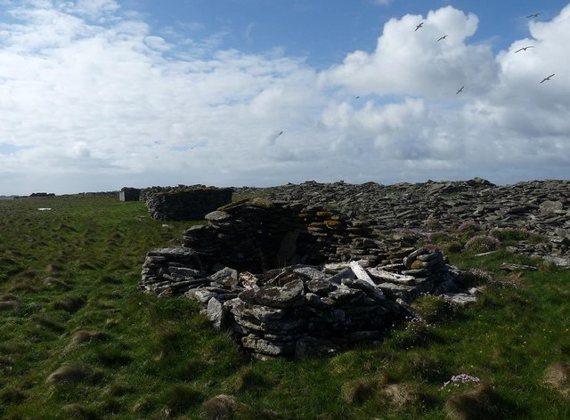
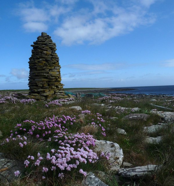
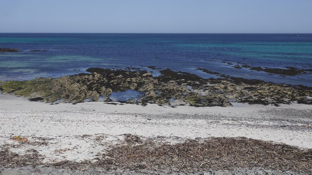
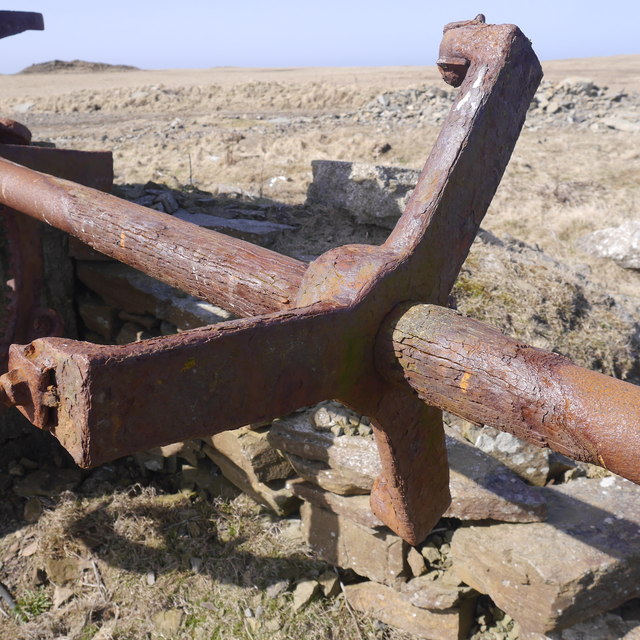
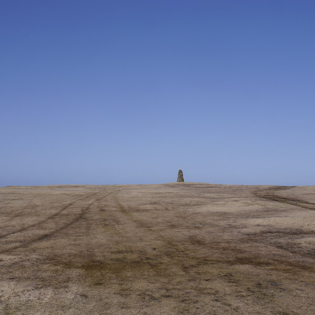
Landward Geo is characterized by its striking cliffs that tower above the sea, offering breathtaking views of the surrounding coastline. The cliffs are composed of layers of sedimentary rocks, showcasing the geological history of the area. This headland is known for its rugged and dramatic landscape, with jagged rocks and steep slopes that have been shaped by the relentless action of waves and weathering.
The point is a popular destination for outdoor enthusiasts and nature lovers, attracting numerous visitors throughout the year. It provides excellent opportunities for birdwatching, as the cliffs are home to a variety of seabirds, including fulmars, guillemots, and puffins. The area is also frequented by seals and dolphins, adding to its wildlife appeal.
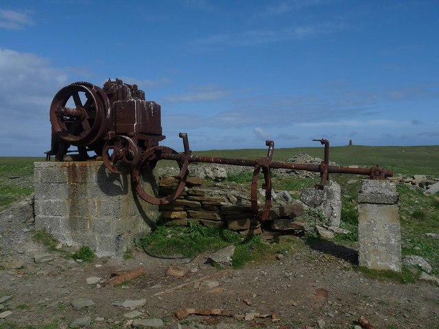
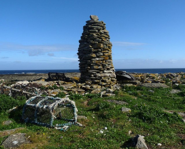
Furthermore, Landward Geo holds historical significance, as it is believed to have been a strategic lookout point during ancient times. The headland offers stunning panoramic views of the surrounding coastline and neighboring islands, providing a glimpse into the past and the strategic importance of this location.
Overall, Landward Geo in Orkney is a captivating coastal feature that combines natural beauty, wildlife diversity, and historical significance, making it a must-visit destination for both locals and tourists alike.
If you have any feedback on the listing, please let us know in the comments section below.
Landward Geo Images
Images are sourced within 2km of 59.30712/-2.6170049 or Grid Reference HY6446. Thanks to Geograph Open Source API. All images are credited.
Landward Geo is located at Grid Ref: HY6446 (Lat: 59.30712, Lng: -2.6170049)
Unitary Authority: Orkney Islands
Police Authority: Highlands and Islands
What 3 Words
///winemaker.contact.foot. Near Kettletoft, Orkney Islands
Nearby Locations
Related Wikis

Scar, Orkney
Scar is a village and farm complex on the island of Sanday in Orkney, Scotland. The B9068 road runs from Scar to Kettletoft. The Scar boat burial was found...

Scar boat burial
The Scar boat burial is a Viking boat burial near the village of Scar, on Sanday, in Orkney, Scotland. The burial, which dates to between 875 and 950 AD...

Broughtown
Broughtown is a village on the island of Sanday, in Orkney, Scotland. The settlement is within the parish of Cross and Burness. Sanday Airport is adjacent...

Sanday Airport
Sanday Airport (IATA: NDY, ICAO: EGES) is located 20 NM (37 km; 23 mi) north northeast of Kirkwall Airport on Sanday, Orkney Islands, Scotland. Sanday...

Sanday, Orkney
Sanday (, Scots: Sandee) is one of the inhabited islands of Orkney that lies off the north coast of mainland Scotland. With an area of 50.43 km2 (19.5...

East Sanday Coast
The East Sanday Coast is a protected wetland area on and around the island of Sanday, the third-largest of the Orkney islands off the north coast of Scotland...

Kettletoft
Kettletoft is a settlement on the island of Sanday in Orkney, Scotland. The B9068 road runs from Kettletoft to Scar and the B9069 from Kettletoft to Northwall...
Have you been to Landward Geo?
Leave your review of Landward Geo below (or comments, questions and feedback).