Gillieselly
Coastal Feature, Headland, Point in Orkney
Scotland
Gillieselly

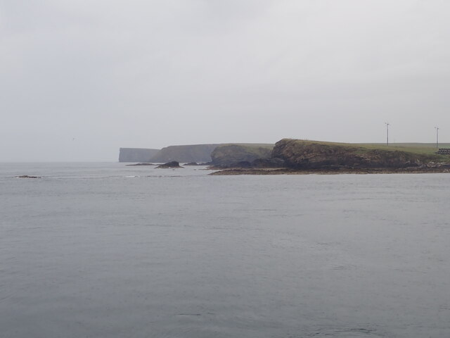
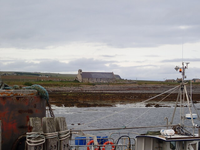
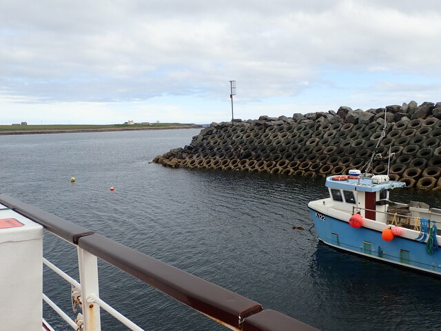
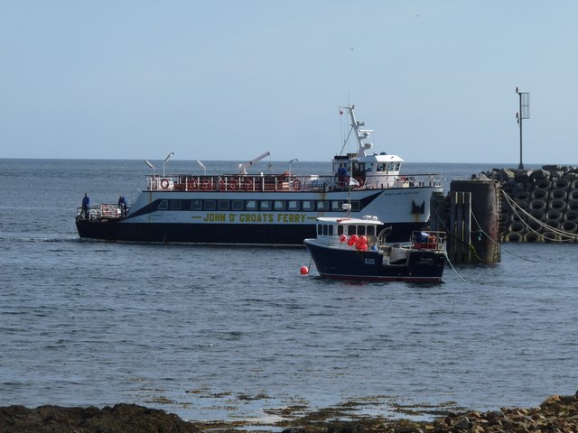
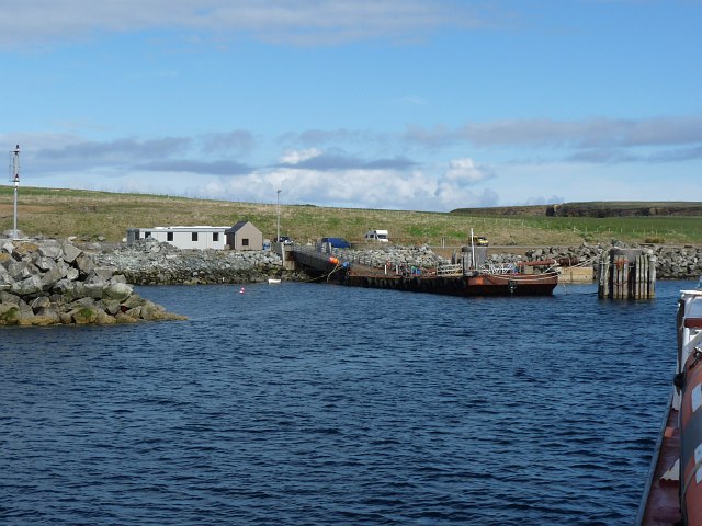
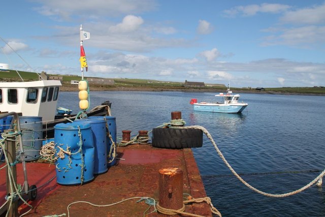
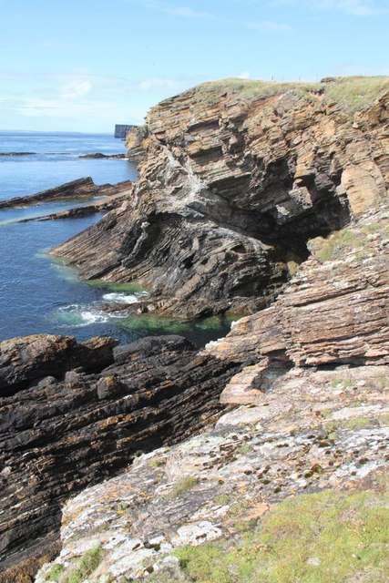
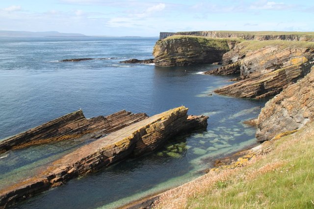
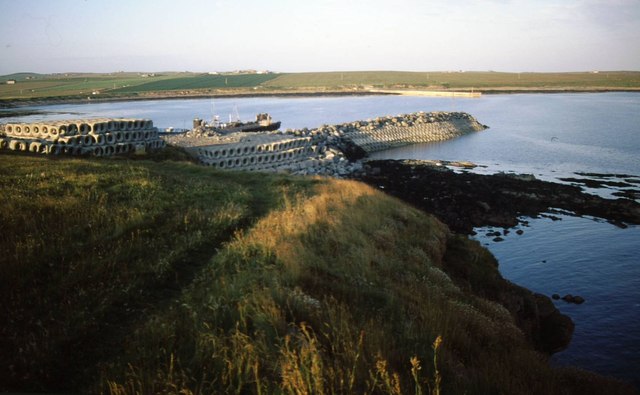
Gillieselly is a prominent headland located on the coast of Orkney, an archipelago situated off the northeastern coast of Scotland. This coastal feature is renowned for its striking natural beauty and dramatic cliffs, making it a popular destination for both locals and tourists alike.
Rising to an impressive height of approximately 150 feet, Gillieselly commands breathtaking views of the surrounding waters and the vast expanse of the North Sea. The headland boasts rugged cliffs that have been shaped by the relentless force of the crashing waves, creating a mesmerizing spectacle for onlookers.
The area surrounding Gillieselly is rich in biodiversity, serving as a haven for various species of seabirds such as fulmars, kittiwakes, and puffins. Birdwatchers flock to this spot to observe and appreciate the diverse avian population that calls Gillieselly home.
In addition to its natural splendor, Gillieselly also holds historical significance. It is believed to have been a site of strategic importance during ancient times, with remnants of Iron Age settlements and fortifications found in the vicinity. These archaeological remains provide valuable insights into the early human habitation of Orkney and the cultural heritage of the region.
Access to Gillieselly is relatively easy, with a well-maintained coastal path leading visitors to the headland. The path offers stunning vistas along the way, adding to the overall experience. Whether it is to witness the power of nature, observe birdlife, or explore the historical remnants, Gillieselly offers a captivating and memorable coastal experience for all who venture to this picturesque headland.
If you have any feedback on the listing, please let us know in the comments section below.
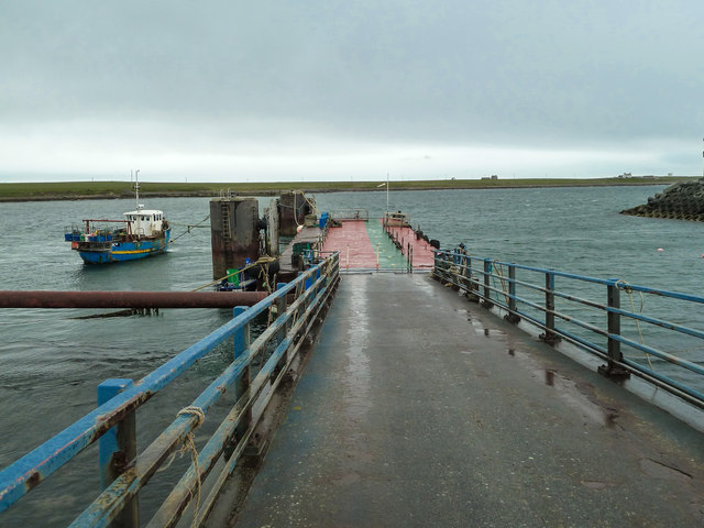
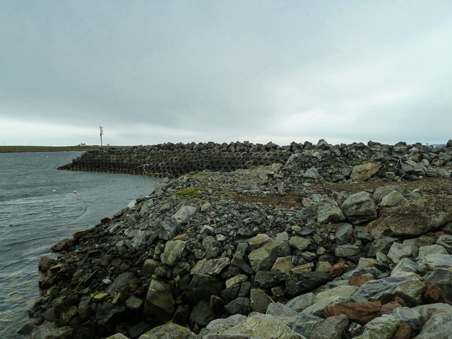
Gillieselly Images
Images are sourced within 2km of 58.751614/-2.9869823 or Grid Reference ND4285. Thanks to Geograph Open Source API. All images are credited.


Gillieselly is located at Grid Ref: ND4285 (Lat: 58.751614, Lng: -2.9869823)
Unitary Authority: Orkney Islands
Police Authority: Highlands and Islands
What 3 Words
///spilled.onlookers.boil. Near St Margaret's Hope, Orkney Islands
Nearby Locations
Related Wikis

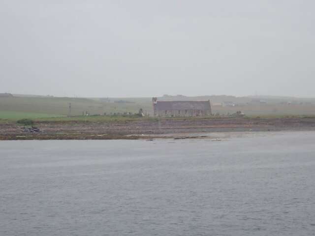
Burwick, Orkney
Burwick () is a small harbour on the island of South Ronaldsay in the Orkney Islands, Scotland. It is the closest Orkney harbour to the Scottish mainland...

HMS Opal (1915)
HMS Opal was an Admiralty M-class destroyer of the Royal Navy. She served in the First World War following her construction at Sunderland in 1915. Attached...

Liddle Burnt Mound
Liddle Burnt Mound is a Bronze Age site on the island of South Ronaldsay, Orkney. The site consists of the remains of a building and a mound that surrounds...

Tomb of the Eagles
The Tomb of the Eagles, or Isbister Chambered Cairn, is a Neolithic chambered tomb located on a cliff edge at Isbister on South Ronaldsay in Orkney, Scotland...
Nearby Amenities
Located within 500m of 58.751614,-2.9869823Have you been to Gillieselly?
Leave your review of Gillieselly below (or comments, questions and feedback).