Barth Head
Coastal Feature, Headland, Point in Orkney
Scotland
Barth Head

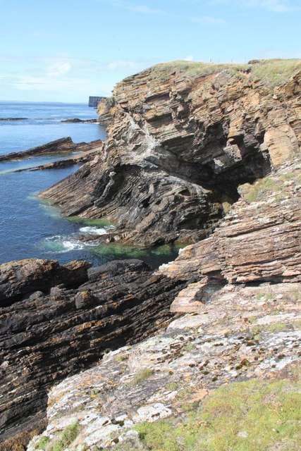
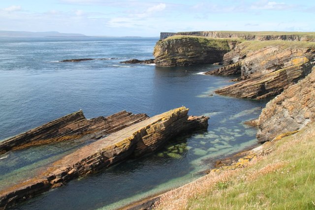
Barth Head is a prominent coastal feature located in Orkney, a group of islands off the northeastern coast of Scotland. Situated on the western side of the island of Westray, Barth Head is a distinct headland that juts out into the North Sea.
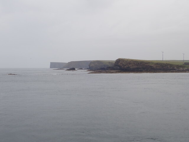
This impressive point is characterized by steep cliffs, reaching heights of over 70 meters, which provide stunning panoramic views of the surrounding coastline. The exposed nature of Barth Head makes it an ideal location for birdwatching, as numerous seabirds nest on the cliffs, including guillemots, puffins, and razorbills. Visitors can often spot these birds diving into the sea to catch fish.
The rugged terrain of Barth Head is a result of its geological composition, consisting mainly of sandstone and shale. Over time, the relentless power of the sea has eroded the rocks, creating a dramatic landscape that is both awe-inspiring and captivating.
Access to Barth Head is relatively easy, with a well-maintained footpath leading to the headland. The path offers visitors the opportunity to explore the coastal vegetation, which includes hardy grasses and wildflowers. It is advisable to wear sturdy footwear and take caution when near the cliff edges.
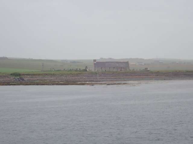
Barth Head is not only a natural spectacle but also holds historical significance. Archaeological remains, including prehistoric settlements and burial mounds, have been discovered in the vicinity, providing valuable insights into the island's ancient past.
Overall, Barth Head is a remarkable coastal feature that offers visitors a chance to marvel at its geological beauty, observe diverse birdlife, and learn about the rich history of Orkney.
If you have any feedback on the listing, please let us know in the comments section below.
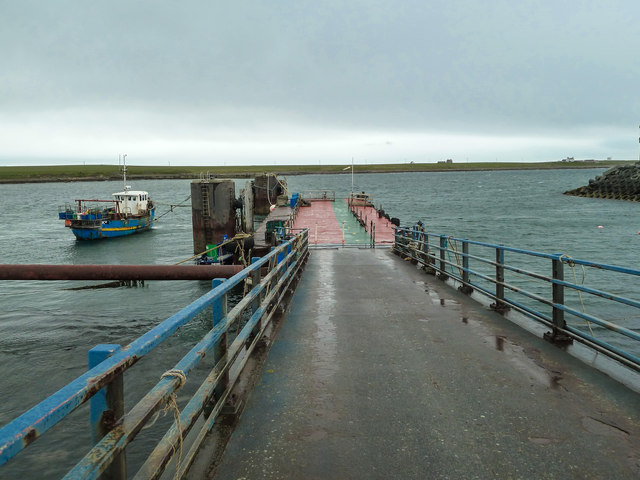
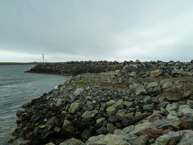
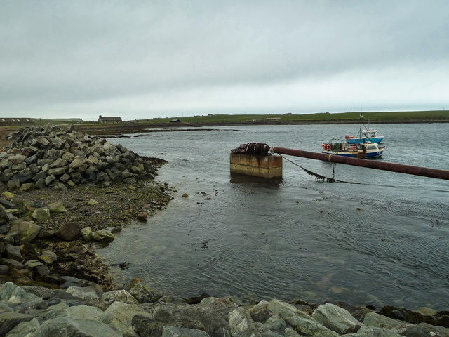
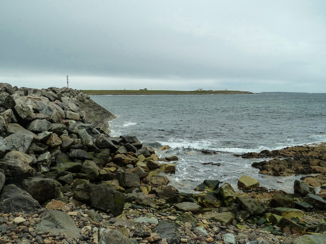
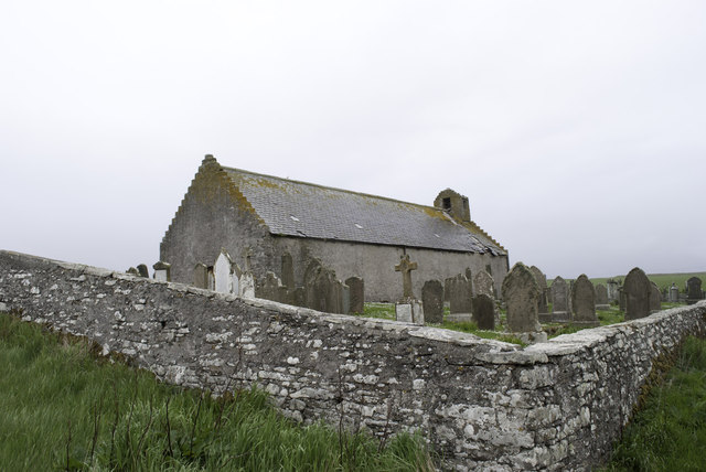
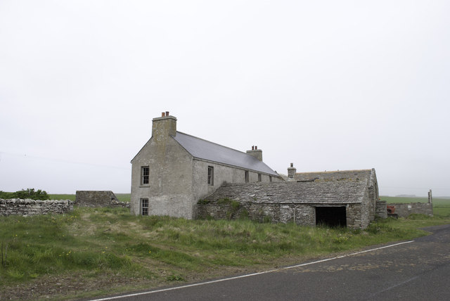
Barth Head Images
Images are sourced within 2km of 58.754739/-2.9906141 or Grid Reference ND4285. Thanks to Geograph Open Source API. All images are credited.


Barth Head is located at Grid Ref: ND4285 (Lat: 58.754739, Lng: -2.9906141)
Unitary Authority: Orkney Islands
Police Authority: Highlands and Islands
What 3 Words
///seating.croaking.revived. Near St Margaret's Hope, Orkney Islands
Nearby Locations
Related Wikis

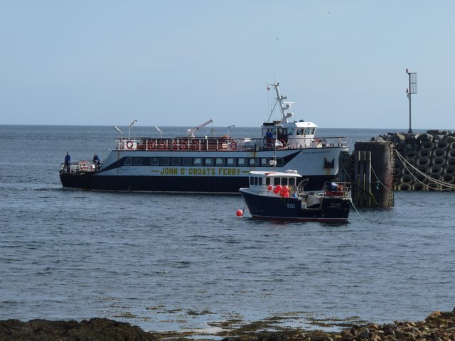
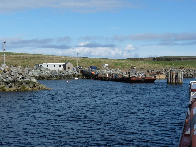
Burwick, Orkney
Burwick () is a small harbour on the island of South Ronaldsay in the Orkney Islands, Scotland. It is the closest Orkney harbour to the Scottish mainland...

HMS Opal (1915)
HMS Opal was an Admiralty M-class destroyer of the Royal Navy. She served in the First World War following her construction at Sunderland in 1915. Attached...

South Ronaldsay
South Ronaldsay (, also , Scots: Sooth Ronalshee) is one of the Orkney Islands off the north coast of Scotland. It is linked to the Orkney Mainland by...

Swona
Swona is an uninhabited privately owned island in the Pentland Firth off the north coast of Scotland. It has a herd of feral cattle resulting from the...
Nearby Amenities
Located within 500m of 58.754739,-2.9906141Have you been to Barth Head?
Leave your review of Barth Head below (or comments, questions and feedback).