Sinilie

Coastal Feature, Headland, Point in Orkney

Scotland

Sinilie

Eastward House, A961 near Barswick, South Ronaldsay Built in 1873 by local residents for the Church of Scotland, it is now (2014) a home offering B & B.
Eastward House, A961 near Barswick, South Ronaldsay Credit: Jo and Steve Turner

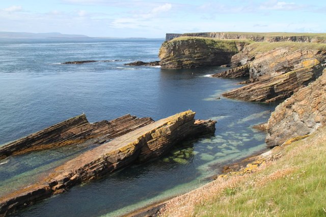
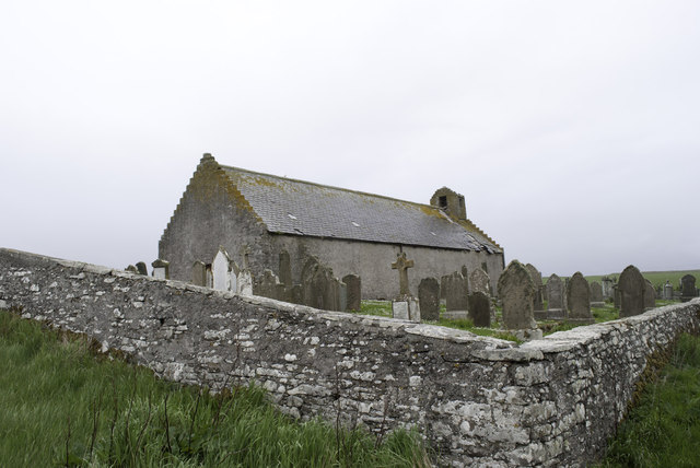
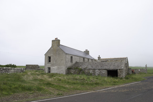
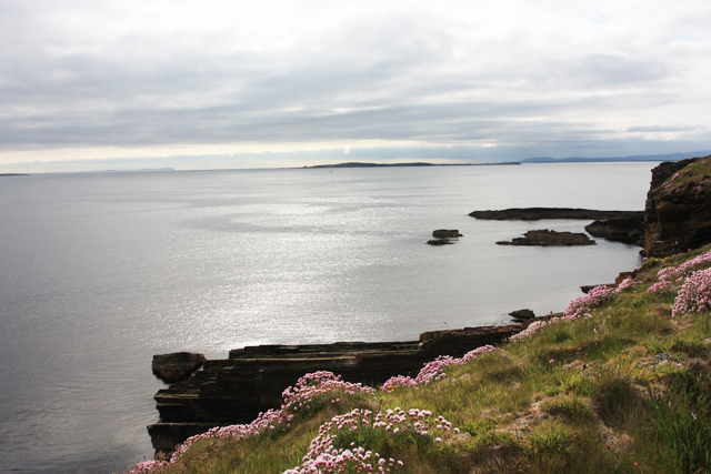
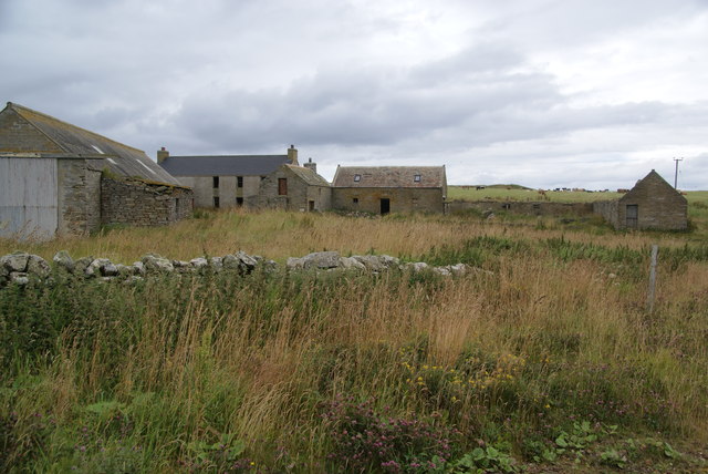
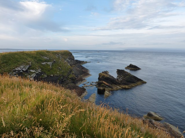
Sinilie is a coastal headland located on the Orkney Islands, an archipelago situated off the northeastern coast of Scotland. It is positioned on the mainland of Orkney, specifically on the northwestern coast of Mainland Orkney. Sinilie is known for its rugged beauty and commanding presence, jutting out into the North Atlantic Ocean.

This headland is characterized by its steep cliffs that rise dramatically from the water, offering stunning panoramic views of the surrounding area. The cliffs are composed of layers of sedimentary rock, showcasing the geological history of the region. Sinilie is also home to a variety of seabird colonies, including guillemots, puffins, and razorbills, which nest on the cliffs during the breeding season.

The headland is easily accessible by both land and sea. A coastal path runs along the edge of the cliffs, allowing visitors to explore the area on foot and enjoy the breathtaking scenery. Boat tours are also available, offering a unique perspective of Sinilie from the water.

Sinilie is a popular destination for nature enthusiasts, hikers, and photographers. Its wild and untamed landscape provides ample opportunities for outdoor activities such as birdwatching, rock climbing, and coastal walks. The headland's remote location adds to its appeal, offering a sense of tranquility and escape from the hustle and bustle of everyday life.

Overall, Sinilie is a remarkable coastal feature, offering a glimpse into the natural beauty and ruggedness of the Orkney Islands.

If you have any feedback on the listing, please let us know in the comments section below.

Sinilie Images

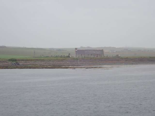
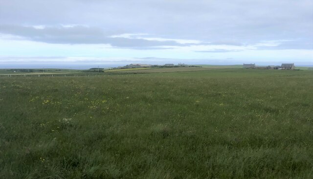
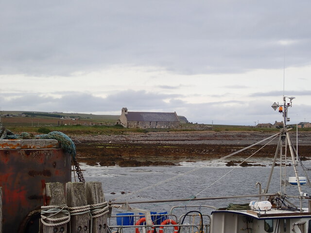
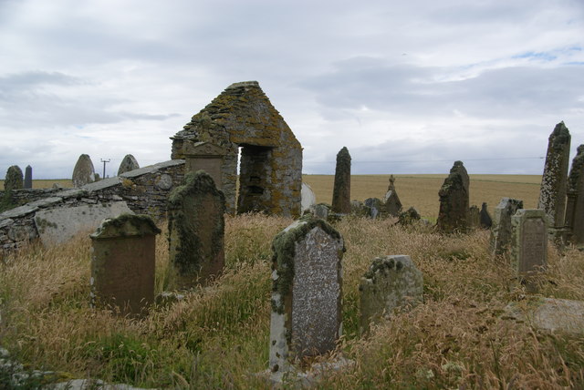
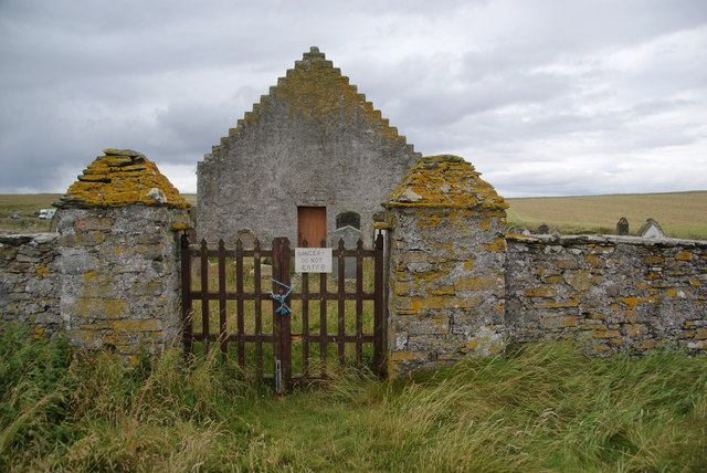
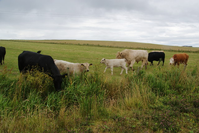
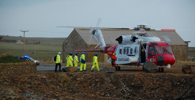
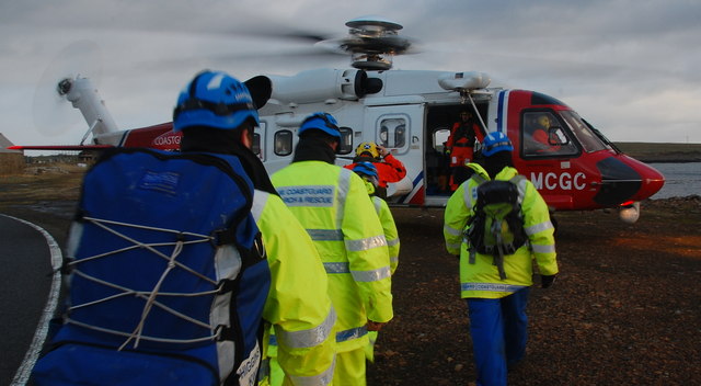
Images are sourced within 2km of 58.756229/-2.9907256 or Grid Reference ND4285. Thanks to Geograph Open Source API. All images are credited.

Eastward House, A961 near Barswick, South Ronaldsay Built in 1873 by local residents for the Church of Scotland, it is now (2014) a home offering B & B.
Eastward House, A961 near Barswick, South Ronaldsay
Built in 1873 by local residents for the Church of Scotland, it is now (2014) a home offering B & B.
St Mary's Church, Burwick Old St Mary’s is in the very south of the south parish at Burwick. It is on the site where the first Christian missionaries reputedly arrived in Orkney. The church is thought to have last been used for regular worship around 1959, then used for occasional services until around 1995. It is on the Churches at Risk register, especially since it was struck by lightning in 2013.
St Mary's Church, Burwick
Old St Mary’s is in the very south of the south parish at Burwick. It is on the site where the first Christian missionaries reputedly arrived in Orkney. The church is thought to have last been used for regular worship around 1959, then used for occasional services until around 1995. It is on the Churches at Risk register, especially since it was struck by lightning in 2013.
Farmland, Mossetter
Farmland, Mossetter
Loch of Lythe  Small loch near Ossquoy, the farm on the right
Loch of Lythe
Small loch near Ossquoy, the farm on the right
Tomison's Academy Founded under the will of William Tomison (1739-1829) of the Hudson's Bay Company. 
This former school is now empty and the adjacent buildings falling into dereliction
Tomison's Academy
Founded under the will of William Tomison (1739-1829) of the Hudson's Bay Company. This former school is now empty and the adjacent buildings falling into dereliction
St Mary's Church, Burwick A better view of the church than when we arrived earlier in the day <a href="https://www.geograph.org.uk/photo/7443070">ND4384 : St Mary's Church, Burwick</a>. Old St Mary’s is in the very south of the south parish at Burwick. It is on the site where the first Christian missionaries reputedly arrived in Orkney. The church is thought to have last been used for regular worship around 1959, then used for occasional services until around 1995. It is on the Churches at Risk register, especially since it was struck by lightning in 2013.
St Mary's Church, Burwick
A better view of the church than when we arrived earlier in the day ND4384 : St Mary's Church, Burwick. Old St Mary’s is in the very south of the south parish at Burwick. It is on the site where the first Christian missionaries reputedly arrived in Orkney. The church is thought to have last been used for regular worship around 1959, then used for occasional services until around 1995. It is on the Churches at Risk register, especially since it was struck by lightning in 2013.
Aerial view of southern South Ronaldsay Taken from a flight to Shetland via Orkney this is the southern end of the southernmost of the main islands of Orkney, South Ronaldsay.
Obviously aerial photos such as this cover many squares, so I have taken the subject reference as Barth Head, which is the little sticky-out point nearest the camera.
Aerial view of southern South Ronaldsay
Taken from a flight to Shetland via Orkney this is the southern end of the southernmost of the main islands of Orkney, South Ronaldsay. Obviously aerial photos such as this cover many squares, so I have taken the subject reference as Barth Head, which is the little sticky-out point nearest the camera.
Castle Skerry Another small headland by Bur Wick
Castle Skerry
Another small headland by Bur Wick
Falling into ruin at Bur Wick
House being renovated at Bur Wick At least it has a new roof.
House being renovated at Bur Wick
At least it has a new roof.
Castle Skerry Castle Skerry seems to be the rocky area at the centre right of the photograph.

The flowers are "sea pink", or alternatively "thrift", and add a touch of warm colour to the greys and greens of the photograph.
Castle Skerry
Castle Skerry seems to be the rocky area at the centre right of the photograph. The flowers are "sea pink", or alternatively "thrift", and add a touch of warm colour to the greys and greens of the photograph.
Derelict buildings at Burwick This may have been an active hamlet once, but I don't think there is anyone living here now.
Derelict buildings at Burwick
This may have been an active hamlet once, but I don't think there is anyone living here now.
Churchyard at Burwick The church, to the right from here, is closed and cordoned off, and the churchyard has developed a derelict wildness.
Churchyard at Burwick
The church, to the right from here, is closed and cordoned off, and the churchyard has developed a derelict wildness.
St Mary's, Burwick The east end of the church. It is now derelict and dangerous, causing access to be prohibited.
St Mary's, Burwick
The east end of the church. It is now derelict and dangerous, causing access to be prohibited.
Cattle at Burwick As is usual on Orkney, young and old, male and female, are all in together, though there is usually only one bull.
Cattle at Burwick
As is usual on Orkney, young and old, male and female, are all in together, though there is usually only one bull.
Castle Skerry
Castle Skerry
HM Coastguard Members of one of the local HM Coastguard search teams about to fly to the Isle of Swona to search for survivors of the MV Cemfjord.
HM Coastguard
Members of one of the local HM Coastguard search teams about to fly to the Isle of Swona to search for survivors of the MV Cemfjord.
HM Coastguard Another of the local search teams going to Swona to search for survivors from the MV Cemfjord.
HM Coastguard
Another of the local search teams going to Swona to search for survivors from the MV Cemfjord.
Show me another place!

Sinilie is located at Grid Ref: ND4285 (Lat: 58.756229, Lng: -2.9907256)

Unitary Authority: Orkney Islands

Police Authority: Highlands and Islands

What 3 Words

///amounting.ozone.automatic. Near St Margaret's Hope, Orkney Islands

Related Wikis

Burwick, Orkney

Burwick () is a small harbour on the island of South Ronaldsay in the Orkney Islands, Scotland. It is the closest Orkney harbour to the Scottish mainland...

HMS Opal (1915)

HMS Opal was an Admiralty M-class destroyer of the Royal Navy. She served in the First World War following her construction at Sunderland in 1915. Attached...

South Ronaldsay

South Ronaldsay (, also , Scots: Sooth Ronalshee) is one of the Orkney Islands off the north coast of Scotland. It is linked to the Orkney Mainland by...

Swona

Swona is an uninhabited privately owned island in the Pentland Firth off the north coast of Scotland. It has a herd of feral cattle resulting from the...

Nearby Amenities

Located within 500m of 58.756229,-2.9907256
North Barth Clivie
Place: locality
Lat/Long: 58.7546745/-2.9897509
The data included in this document is from www.openstreetmap.org. The data is made available under ODbL.

Have you been to Sinilie?

Leave your review of Sinilie below (or comments, questions and feedback).