Barth Skerry

Island in Orkney

Scotland

Barth Skerry

Eastward House, A961 near Barswick, South Ronaldsay Built in 1873 by local residents for the Church of Scotland, it is now (2014) a home offering B & B.
Eastward House, A961 near Barswick, South Ronaldsay Credit: Jo and Steve Turner

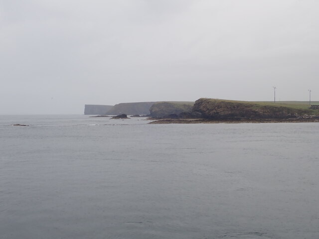
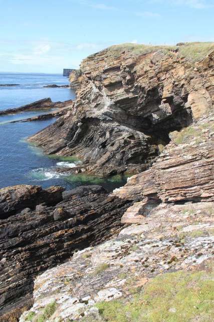
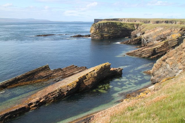
Barth Skerry is a small uninhabited island located on the northern coast of Orkney, Scotland. It is one of the many islands that make up the archipelago, situated in the North Atlantic Ocean. With an area of only 0.3 hectares, Barth Skerry is quite diminutive in size.

The island is characterized by its rugged coastline, consisting of steep cliffs and rock formations. Its remote location and lack of human presence make it an ideal sanctuary for various seabird species. Barth Skerry is particularly known for being a breeding ground for Atlantic puffins, razorbills, and guillemots, among others. The surrounding waters are also rich in marine life, attracting seals and dolphins.

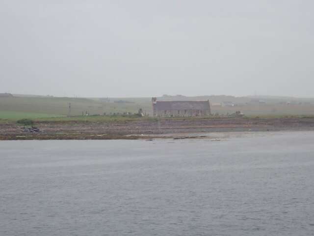
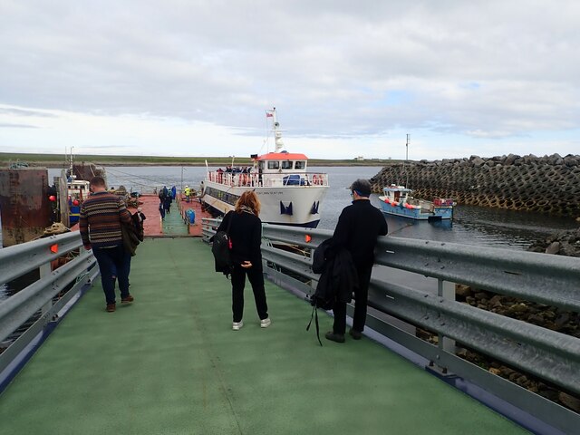
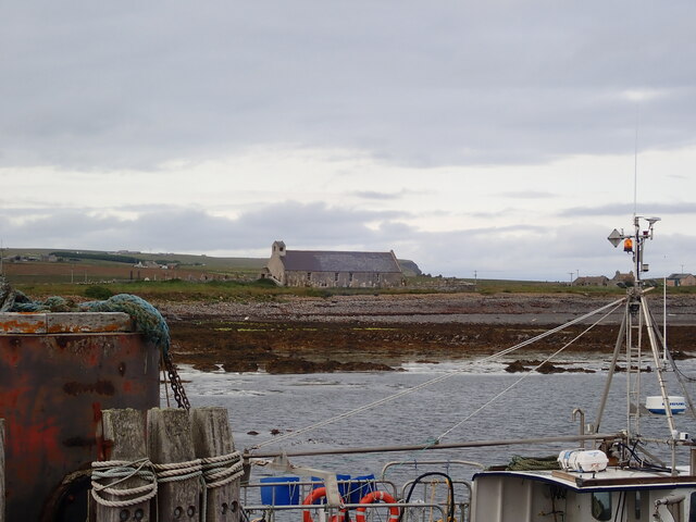
Access to Barth Skerry is limited due to its protected status as a Special Protection Area for birds. Visitors are not permitted to land on the island, but it can be admired from a distance during boat trips or from designated viewing points on the mainland. The island's proximity to Orkney's mainland makes it a popular destination for birdwatchers and nature enthusiasts.

Barth Skerry's geographical location, wild beauty, and thriving bird population contribute to its significance as a natural treasure in Orkney. As part of the archipelago's diverse ecosystem, the island plays a vital role in preserving Scotland's rich biodiversity and serves as a valuable research site for scientists and conservationists.

If you have any feedback on the listing, please let us know in the comments section below.
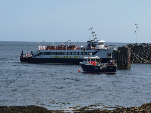
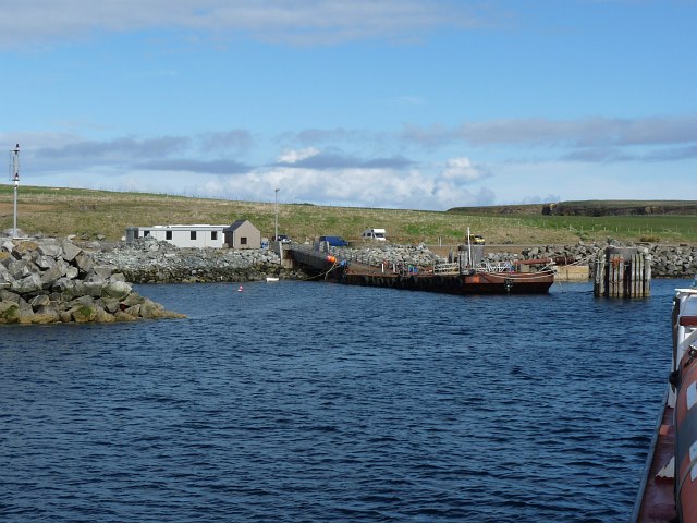
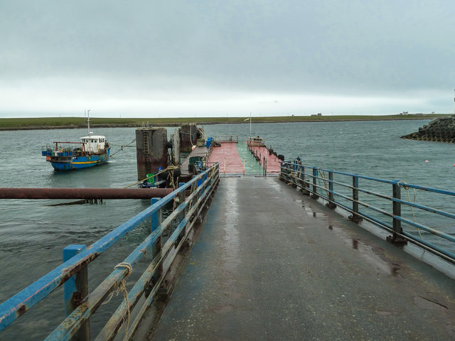
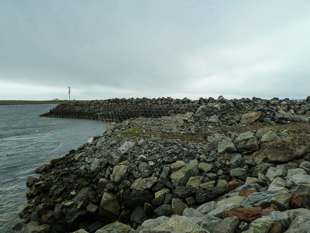
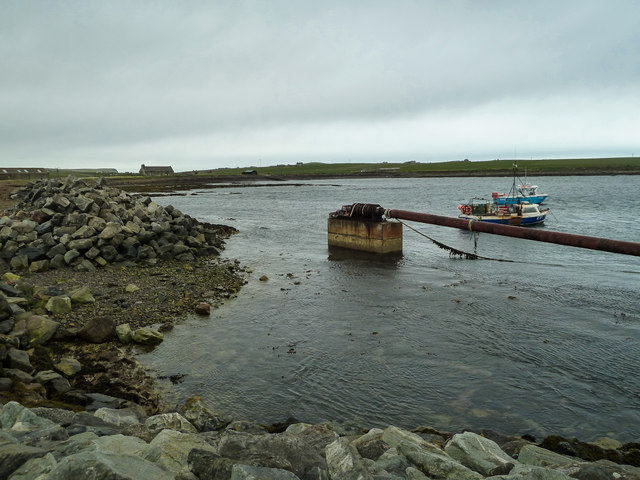
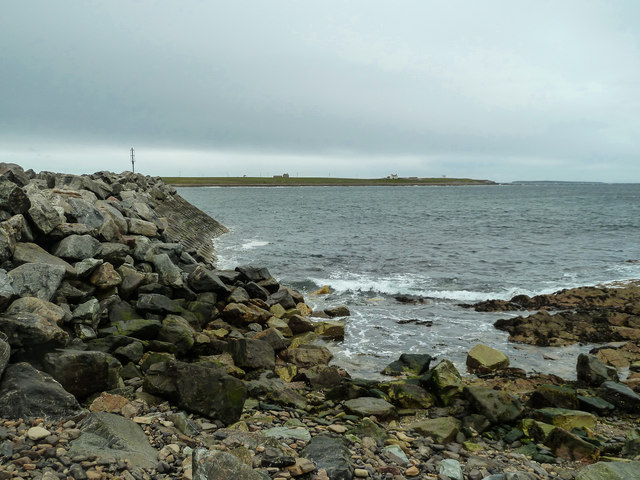
Barth Skerry Images

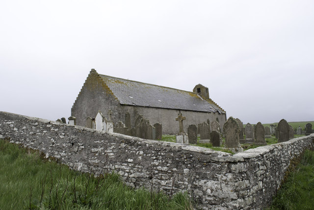
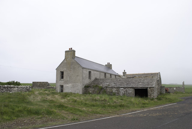
Images are sourced within 2km of 58.754048/-2.9928067 or Grid Reference ND4285. Thanks to Geograph Open Source API. All images are credited.

Eastward House, A961 near Barswick, South Ronaldsay Built in 1873 by local residents for the Church of Scotland, it is now (2014) a home offering B & B.
Eastward House, A961 near Barswick, South Ronaldsay
Built in 1873 by local residents for the Church of Scotland, it is now (2014) a home offering B & B.
View west from the Pentland Venture ferry Just before entering the port at Burwick
View west from the Pentland Venture ferry
Just before entering the port at Burwick
St Mary's Church, Burwick Old St Mary’s is in the very south of the south parish at Burwick. It is on the site where the first Christian missionaries reputedly arrived in Orkney. The church is thought to have last been used for regular worship around 1959, then used for occasional services until around 1995. It is on the Churches at Risk register, especially since it was struck by lightning in 2013.
St Mary's Church, Burwick
Old St Mary’s is in the very south of the south parish at Burwick. It is on the site where the first Christian missionaries reputedly arrived in Orkney. The church is thought to have last been used for regular worship around 1959, then used for occasional services until around 1995. It is on the Churches at Risk register, especially since it was struck by lightning in 2013.
Loch of Lythe  Small loch near Ossquoy, the farm on the right
Loch of Lythe
Small loch near Ossquoy, the farm on the right
Tomison's Academy Founded under the will of William Tomison (1739-1829) of the Hudson's Bay Company. 
This former school is now empty and the adjacent buildings falling into dereliction
Tomison's Academy
Founded under the will of William Tomison (1739-1829) of the Hudson's Bay Company. This former school is now empty and the adjacent buildings falling into dereliction
Waiting for the ferry at Burwick Pier
St Mary's Church, Burwick A better view of the church than when we arrived earlier in the day <a href="https://www.geograph.org.uk/photo/7443070">ND4384 : St Mary's Church, Burwick</a>. Old St Mary’s is in the very south of the south parish at Burwick. It is on the site where the first Christian missionaries reputedly arrived in Orkney. The church is thought to have last been used for regular worship around 1959, then used for occasional services until around 1995. It is on the Churches at Risk register, especially since it was struck by lightning in 2013.
St Mary's Church, Burwick
A better view of the church than when we arrived earlier in the day ND4384 : St Mary's Church, Burwick. Old St Mary’s is in the very south of the south parish at Burwick. It is on the site where the first Christian missionaries reputedly arrived in Orkney. The church is thought to have last been used for regular worship around 1959, then used for occasional services until around 1995. It is on the Churches at Risk register, especially since it was struck by lightning in 2013.
John o' Groats ferry arrives at Burwick Summer sailings across the Pentland Firth
John o' Groats ferry arrives at Burwick
Summer sailings across the Pentland Firth
Aerial view of southern South Ronaldsay Taken from a flight to Shetland via Orkney this is the southern end of the southernmost of the main islands of Orkney, South Ronaldsay.
Obviously aerial photos such as this cover many squares, so I have taken the subject reference as Barth Head, which is the little sticky-out point nearest the camera.
Aerial view of southern South Ronaldsay
Taken from a flight to Shetland via Orkney this is the southern end of the southernmost of the main islands of Orkney, South Ronaldsay. Obviously aerial photos such as this cover many squares, so I have taken the subject reference as Barth Head, which is the little sticky-out point nearest the camera.
Approaching the harbour at Burwick, Orkney Islands Taken from the John O'Groats ferry.
Approaching the harbour at Burwick, Orkney Islands
Taken from the John O'Groats ferry.
A feather? A beautiful fold in the rocks of The Wing.
A feather?
A beautiful fold in the rocks of The Wing.
Castle Skerry Another small headland by Bur Wick
Castle Skerry
Another small headland by Bur Wick
Bur Wick Pier Route to John o' Groats in the summer months, although with the recent problems on the Scrabster to Stromness route, discussions have revisited the idea of Pentland Ferries opening a route from here to Gills Bay for vehicles and foot passengers which would reduce the journey time to around 30 minutes.
Bur Wick Pier
Route to John o' Groats in the summer months, although with the recent problems on the Scrabster to Stromness route, discussions have revisited the idea of Pentland Ferries opening a route from here to Gills Bay for vehicles and foot passengers which would reduce the journey time to around 30 minutes.
Ferry terminal at Bur Wick Reinforced defences to protect the harbour and pier in South Ronaldsay.
Ferry terminal at Bur Wick
Reinforced defences to protect the harbour and pier in South Ronaldsay.
Harbour at Bur Wick View north east across the harbour.
Harbour at Bur Wick
View north east across the harbour.
Bur Wick View east along the harbour shore line.
Bur Wick
View east along the harbour shore line.
Falling into ruin at Bur Wick
House being renovated at Bur Wick At least it has a new roof.
House being renovated at Bur Wick
At least it has a new roof.
Show me another place!

Barth Skerry is located at Grid Ref: ND4285 (Lat: 58.754048, Lng: -2.9928067)

Unitary Authority: Orkney Islands

Police Authority: Highlands and Islands

What 3 Words

///sounding.printouts.steadier. Near St Margaret's Hope, Orkney Islands

Related Wikis

Burwick, Orkney

Burwick () is a small harbour on the island of South Ronaldsay in the Orkney Islands, Scotland. It is the closest Orkney harbour to the Scottish mainland...

HMS Opal (1915)

HMS Opal was an Admiralty M-class destroyer of the Royal Navy. She served in the First World War following her construction at Sunderland in 1915. Attached...

Swona

Swona is an uninhabited privately owned island in the Pentland Firth off the north coast of Scotland. It has a herd of feral cattle resulting from the...

South Ronaldsay

South Ronaldsay (, also , Scots: Sooth Ronalshee) is one of the Orkney Islands off the north coast of Scotland. It is linked to the Orkney Mainland by...

Nearby Amenities

Located within 500m of 58.754048,-2.9928067
North Barth Clivie
Place: locality
Lat/Long: 58.7546745/-2.9897509
The data included in this document is from www.openstreetmap.org. The data is made available under ODbL.

Have you been to Barth Skerry?

Leave your review of Barth Skerry below (or comments, questions and feedback).