Moi Geo

Coastal Feature, Headland, Point in Orkney

Scotland

Moi Geo

Eastward House, A961 near Barswick, South Ronaldsay Built in 1873 by local residents for the Church of Scotland, it is now (2014) a home offering B & B.
Eastward House, A961 near Barswick, South Ronaldsay Credit: Jo and Steve Turner

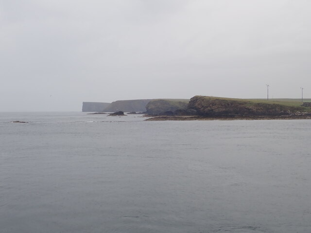
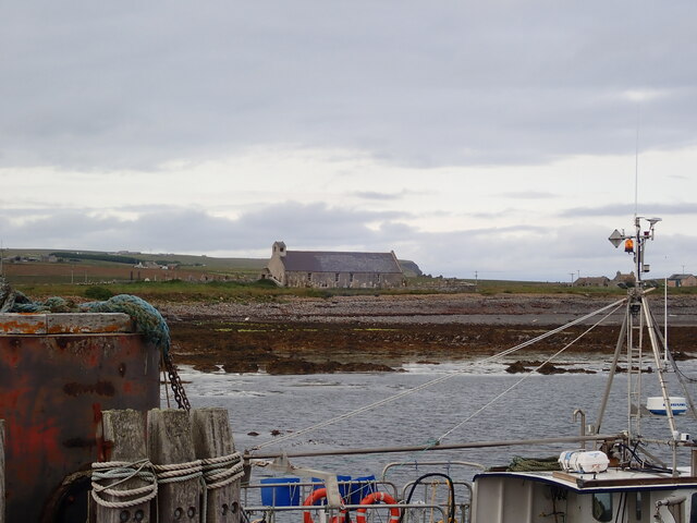
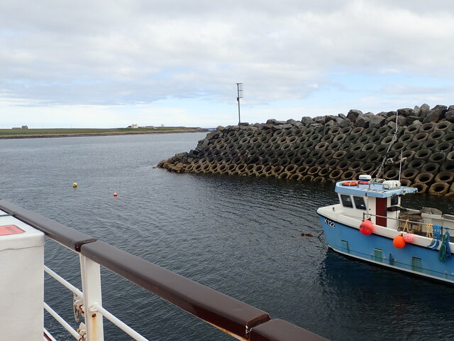
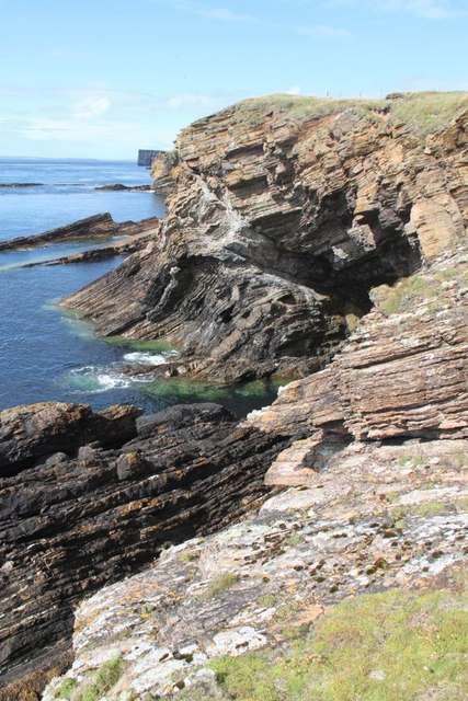
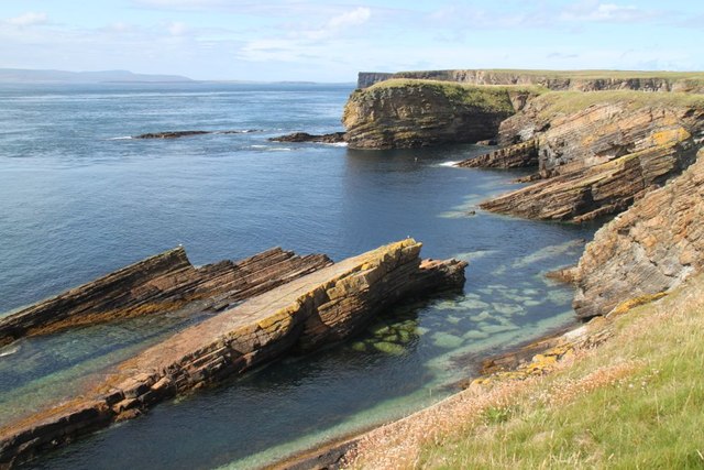
Moi Geo is a prominent coastal feature located in Orkney, an archipelago in Scotland. This geological formation is classified as a headland or point, characterized by its unique shape and distinct features. Situated on the east coast of Orkney's mainland, Moi Geo is a significant landmark that commands attention due to its natural beauty and historical significance.

The headland is composed of towering cliffs that rise steeply from the sea, reaching impressive heights. These cliffs are made up of layers of sedimentary rock, displaying different colors and textures, which have been shaped by centuries of erosion from the crashing waves and strong coastal currents. The rugged nature of Moi Geo's cliffs provides a striking contrast against the serene blue waters of the North Sea.

Moi Geo offers breathtaking panoramic views of the surrounding coastline, making it a popular destination for tourists and nature enthusiasts. The headland also serves as an important nesting site for various seabird species, including puffins, guillemots, and razorbills. Birdwatchers flock to this area to observe these magnificent creatures in their natural habitat.

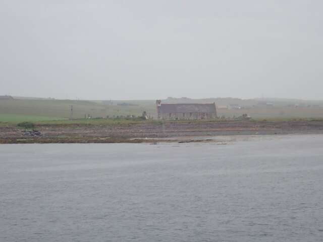
In addition to its natural beauty, Moi Geo holds historical significance. The headland is believed to have been inhabited by early settlers thousands of years ago, as evidenced by the presence of ancient artifacts and archaeological remains. These remnants offer insights into the lives and cultures of the people who once called Moi Geo home.

Overall, Moi Geo in Orkney is a stunning coastal feature that combines natural beauty, rich biodiversity, and historical significance. It serves as a testament to the dynamic forces of nature and the enduring human presence in this enchanting part of Scotland.

If you have any feedback on the listing, please let us know in the comments section below.
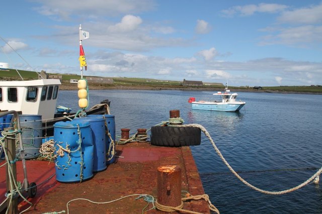
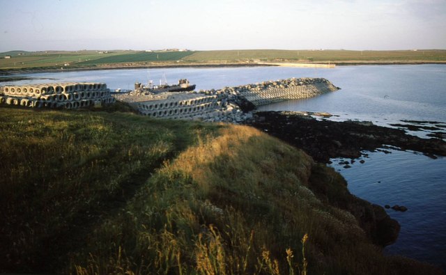
Moi Geo Images

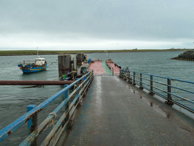
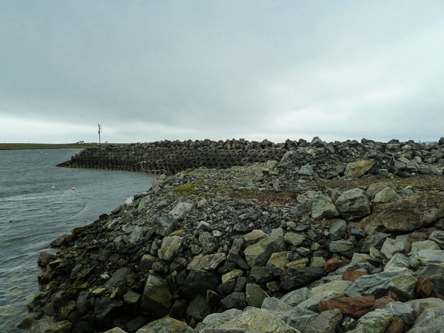
Images are sourced within 2km of 58.75287/-2.9883487 or Grid Reference ND4285. Thanks to Geograph Open Source API. All images are credited.

Eastward House, A961 near Barswick, South Ronaldsay Built in 1873 by local residents for the Church of Scotland, it is now (2014) a home offering B & B.
Eastward House, A961 near Barswick, South Ronaldsay
Built in 1873 by local residents for the Church of Scotland, it is now (2014) a home offering B & B.
View west from the Pentland Venture ferry Just before entering the port at Burwick
View west from the Pentland Venture ferry
Just before entering the port at Burwick
St Mary's Church, Burwick Old St Mary’s is in the very south of the south parish at Burwick. It is on the site where the first Christian missionaries reputedly arrived in Orkney. The church is thought to have last been used for regular worship around 1959, then used for occasional services until around 1995. It is on the Churches at Risk register, especially since it was struck by lightning in 2013.
St Mary's Church, Burwick
Old St Mary’s is in the very south of the south parish at Burwick. It is on the site where the first Christian missionaries reputedly arrived in Orkney. The church is thought to have last been used for regular worship around 1959, then used for occasional services until around 1995. It is on the Churches at Risk register, especially since it was struck by lightning in 2013.
Pentland Venture ferry at Burwick
Loch of Lythe  Small loch near Ossquoy, the farm on the right
Loch of Lythe
Small loch near Ossquoy, the farm on the right
Tomison's Academy Founded under the will of William Tomison (1739-1829) of the Hudson's Bay Company. 
This former school is now empty and the adjacent buildings falling into dereliction
Tomison's Academy
Founded under the will of William Tomison (1739-1829) of the Hudson's Bay Company. This former school is now empty and the adjacent buildings falling into dereliction
Waiting for the ferry at Burwick Pier
St Mary's Church, Burwick A better view of the church than when we arrived earlier in the day <a href="https://www.geograph.org.uk/photo/7443070">ND4384 : St Mary's Church, Burwick</a>. Old St Mary’s is in the very south of the south parish at Burwick. It is on the site where the first Christian missionaries reputedly arrived in Orkney. The church is thought to have last been used for regular worship around 1959, then used for occasional services until around 1995. It is on the Churches at Risk register, especially since it was struck by lightning in 2013.
St Mary's Church, Burwick
A better view of the church than when we arrived earlier in the day ND4384 : St Mary's Church, Burwick. Old St Mary’s is in the very south of the south parish at Burwick. It is on the site where the first Christian missionaries reputedly arrived in Orkney. The church is thought to have last been used for regular worship around 1959, then used for occasional services until around 1995. It is on the Churches at Risk register, especially since it was struck by lightning in 2013.
Breakwater at Burwick Ferry Port
John o' Groats ferry arrives at Burwick Summer sailings across the Pentland Firth
John o' Groats ferry arrives at Burwick
Summer sailings across the Pentland Firth
Aerial view of southern South Ronaldsay Taken from a flight to Shetland via Orkney this is the southern end of the southernmost of the main islands of Orkney, South Ronaldsay.
Obviously aerial photos such as this cover many squares, so I have taken the subject reference as Barth Head, which is the little sticky-out point nearest the camera.
Aerial view of southern South Ronaldsay
Taken from a flight to Shetland via Orkney this is the southern end of the southernmost of the main islands of Orkney, South Ronaldsay. Obviously aerial photos such as this cover many squares, so I have taken the subject reference as Barth Head, which is the little sticky-out point nearest the camera.
Approaching the harbour at Burwick, Orkney Islands Taken from the John O'Groats ferry.
Approaching the harbour at Burwick, Orkney Islands
Taken from the John O'Groats ferry.
Bur Wick Pier The end of the pier at Bur Wick
Bur Wick Pier
The end of the pier at Bur Wick
A feather? A beautiful fold in the rocks of The Wing.
A feather?
A beautiful fold in the rocks of The Wing.
Castle Skerry Another small headland by Bur Wick
Castle Skerry
Another small headland by Bur Wick
Modern concrete pier At Burwick, South Ronaldsay built to facilitate tourist access to Orkney from John o'Groats.
Modern concrete pier
At Burwick, South Ronaldsay built to facilitate tourist access to Orkney from John o'Groats.
Bur Wick Pier Route to John o' Groats in the summer months, although with the recent problems on the Scrabster to Stromness route, discussions have revisited the idea of Pentland Ferries opening a route from here to Gills Bay for vehicles and foot passengers which would reduce the journey time to around 30 minutes.
Bur Wick Pier
Route to John o' Groats in the summer months, although with the recent problems on the Scrabster to Stromness route, discussions have revisited the idea of Pentland Ferries opening a route from here to Gills Bay for vehicles and foot passengers which would reduce the journey time to around 30 minutes.
Ferry terminal at Bur Wick Reinforced defences to protect the harbour and pier in South Ronaldsay.
Ferry terminal at Bur Wick
Reinforced defences to protect the harbour and pier in South Ronaldsay.
Show me another place!

Moi Geo is located at Grid Ref: ND4285 (Lat: 58.75287, Lng: -2.9883487)

Unitary Authority: Orkney Islands

Police Authority: Highlands and Islands

What 3 Words

///teamed.dribble.factually. Near St Margaret's Hope, Orkney Islands

Related Wikis

Burwick, Orkney

Burwick () is a small harbour on the island of South Ronaldsay in the Orkney Islands, Scotland. It is the closest Orkney harbour to the Scottish mainland...

HMS Opal (1915)

HMS Opal was an Admiralty M-class destroyer of the Royal Navy. She served in the First World War following her construction at Sunderland in 1915. Attached...

South Ronaldsay

South Ronaldsay (, also , Scots: Sooth Ronalshee) is one of the Orkney Islands off the north coast of Scotland. It is linked to the Orkney Mainland by...

Liddle Burnt Mound

Liddle Burnt Mound is a Bronze Age site on the island of South Ronaldsay, Orkney. The site consists of the remains of a building and a mound that surrounds...

Nearby Amenities

Located within 500m of 58.75287,-2.9883487
North Barth Clivie
Place: locality
Lat/Long: 58.7546745/-2.9897509
Generator Method: wind_turbine
Generator Source: wind
Generator Type: horizontal_axis
Power: generator
Lat/Long: 58.7551409/-2.9813397
The data included in this document is from www.openstreetmap.org. The data is made available under ODbL.

Have you been to Moi Geo?

Leave your review of Moi Geo below (or comments, questions and feedback).