Out Skerry

Island in Orkney

Scotland

Out Skerry

Cloddyhall Standing Stone A standing stone on South Ronaldsay measuring 8'6" in height.
Cloddyhall Standing Stone Credit: David Bremner

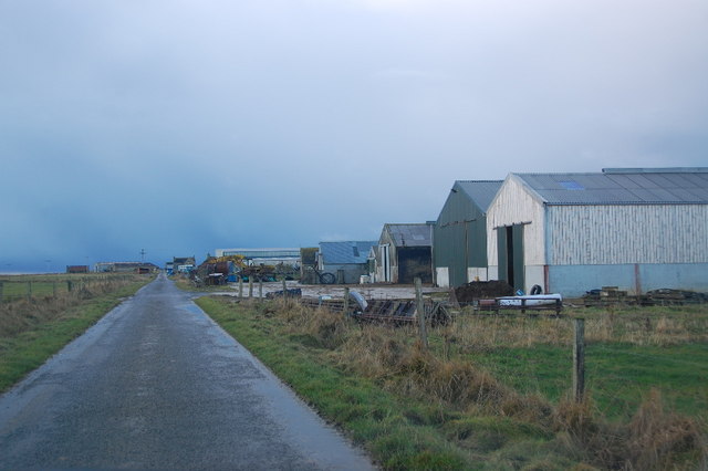
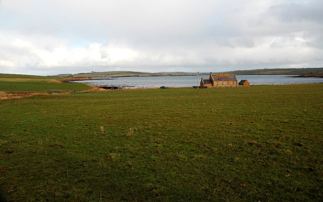
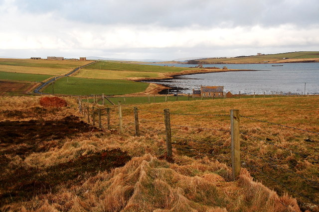
Out Skerry is a small, uninhabited island located in the Orkney archipelago, situated off the north coast of mainland Scotland. It is part of the Orkney Islands Council area and is one of the many islands that make up this unique group.

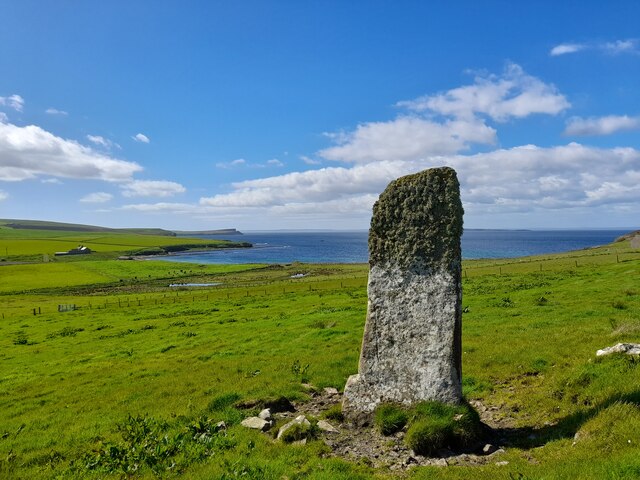
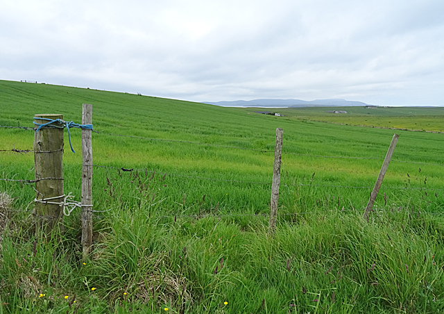
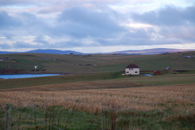
Covering an area of approximately 0.4 square kilometers, Out Skerry is predominantly flat and rocky, with a rugged coastline that is characteristically lined with cliffs. The island is known for its stunning natural beauty, with breathtaking views of the surrounding sea and nearby islands.

Although uninhabited, Out Skerry is home to a variety of wildlife, including seabirds such as puffins, guillemots, and fulmars. It is also a popular spot for birdwatching enthusiasts who come to observe the diverse range of species that inhabit the area.

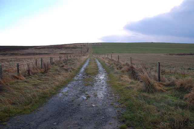
Access to Out Skerry is limited due to its remote location and lack of regular transport links. Visitors typically arrive by boat, either through private arrangements or as part of organized tours. The island offers a unique opportunity for those seeking solitude and tranquility, as it remains largely untouched by human activity.

With its rugged landscape, abundant wildlife, and picturesque views, Out Skerry is a haven for nature lovers and provides a perfect escape from the hustle and bustle of everyday life. It serves as a reminder of the raw beauty and untamed wilderness that can still be found in this corner of the world.

If you have any feedback on the listing, please let us know in the comments section below.
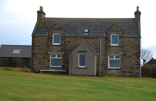
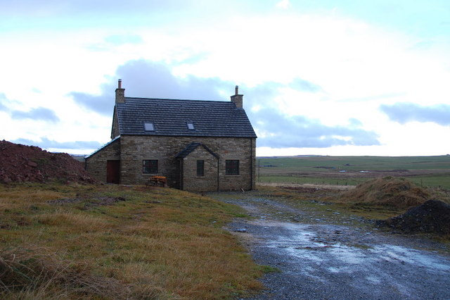
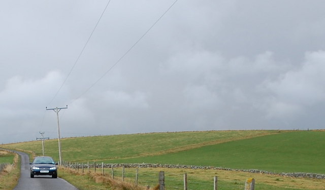
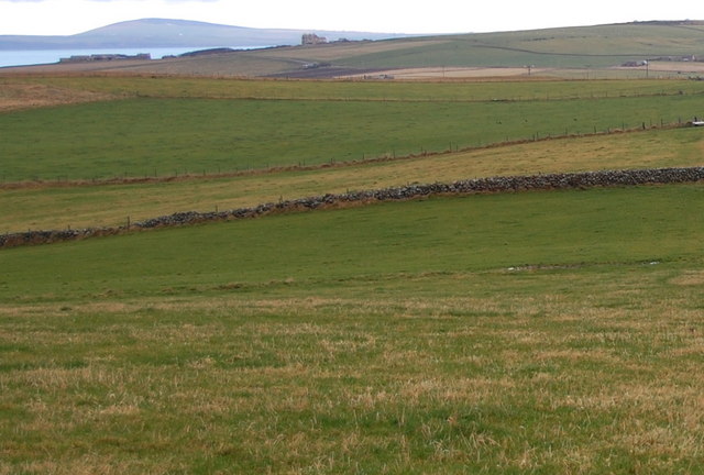
Out Skerry Images

Images are sourced within 2km of 58.786809/-2.9943821 or Grid Reference ND4289. Thanks to Geograph Open Source API. All images are credited.

Cloddyhall Standing Stone A standing stone on South Ronaldsay measuring 8'6" in height.
Cloddyhall Standing Stone
A standing stone on South Ronaldsay measuring 8'6" in height.
Sandwick House The minor road that follows the contour of Kirkie Hill offers views down to the various farms on the lower ground, including Sandwick House. Not to be confused with at least one more Sandwick in Orkney and two in Shetland.
Sandwick House
The minor road that follows the contour of Kirkie Hill offers views down to the various farms on the lower ground, including Sandwick House. Not to be confused with at least one more Sandwick in Orkney and two in Shetland.
Nev Hill Incipient hay or, more likely, silage on the slopes of Nev Hill, with a view towards the mountains of Hoy.
Nev Hill
Incipient hay or, more likely, silage on the slopes of Nev Hill, with a view towards the mountains of Hoy.
Straw bales near Widewall
Rough track from Serrigar Starts off bad, then after 30m it just gets worse. Upper Serrigar can just be made out below the skyline.
Rough track from Serrigar
Starts off bad, then after 30m it just gets worse. Upper Serrigar can just be made out below the skyline.
Lane and newly-renovated farmhouse Looking North-east towards farm buildings.
Lane and newly-renovated farmhouse
Looking North-east towards farm buildings.
Clickhimin and turbine Gorgeous situation of Clickhimin, (is there humour in that name?) and its turbine. Sandwick Bay beyond.
Clickhimin and turbine
Gorgeous situation of Clickhimin, (is there humour in that name?) and its turbine. Sandwick Bay beyond.
Sandwick House Extensive farm buildings with striking red double-doors. There is woodland in Orkney, albeit localised!
Sandwick House
Extensive farm buildings with striking red double-doors. There is woodland in Orkney, albeit localised!
Standing Stone Neolithic foreground, with an oil tanker emerging from behind the island (Swona) in the background.
Standing Stone
Neolithic foreground, with an oil tanker emerging from behind the island (Swona) in the background.
Cloudiehall Farm buildings overlooking Sandwick Bay. Same red as at Sandwick House!
Cloudiehall
Farm buildings overlooking Sandwick Bay. Same red as at Sandwick House!
West Shaird Typical Orkney features include the one-and-a-half stories, and the cemented strips on the gable ends below the chimneys. The style of the original skylight is a common feature too.
West Shaird
Typical Orkney features include the one-and-a-half stories, and the cemented strips on the gable ends below the chimneys. The style of the original skylight is a common feature too.
New house built by West Shaird Similar to West Shaird in style, but missing the lovely upper windows. It lies right by West Shaird.
New house built by West Shaird
Similar to West Shaird in style, but missing the lovely upper windows. It lies right by West Shaird.
Nev Hill The low, undulating land leading to Nev Hill. Note the one remaining stone field boundary, (known locally as dykes).
Nev Hill
The low, undulating land leading to Nev Hill. Note the one remaining stone field boundary, (known locally as dykes).
Stone dyke on Nev Hill Looking northwards from Nev Hill. One remaining traditional stone dyke undulates across the fields, amid the wire fences.
Stone dyke on Nev Hill
Looking northwards from Nev Hill. One remaining traditional stone dyke undulates across the fields, amid the wire fences.
Suckquoy Farm No comment!
Suckquoy Farm
No comment!
Between Suckquoy and Serrigar Really lovely house and outbuildings as seen from Suckquoy Farm.
Between Suckquoy and Serrigar
Really lovely house and outbuildings as seen from Suckquoy Farm.
Chapel and the Oyce of Herston I think that the old chapel has been renovated within the last few years.
Chapel and the Oyce of Herston
I think that the old chapel has been renovated within the last few years.
Farmland and the Oyce of Herston Looking northwards toward the old chapel.
Farmland and the Oyce of Herston
Looking northwards toward the old chapel.
Show me another place!

Out Skerry is located at Grid Ref: ND4289 (Lat: 58.786809, Lng: -2.9943821)

Unitary Authority: Orkney Islands

Police Authority: Highlands and Islands

What 3 Words

///butterfly.race.assembles. Near St Margaret's Hope, Orkney Islands

Related Wikis

Herston, Orkney

Herston is a village on South Ronaldsay, Orkney, Scotland, United Kingdom. Herston is historically a fishing village but its only industry to speak of...

South Ronaldsay

South Ronaldsay (, also , Scots: Sooth Ronalshee) is one of the Orkney Islands off the north coast of Scotland. It is linked to the Orkney Mainland by...

HMS Opal (1915)

HMS Opal was an Admiralty M-class destroyer of the Royal Navy. She served in the First World War following her construction at Sunderland in 1915. Attached...

Hoxa, Orkney

Hoxa is a small settlement on the island of South Ronaldsay in the Orkney Islands north of mainland Scotland. Hoxa is located 1+1⁄4 miles (2.0 km) west...

St Margaret's Hope

St Margaret's Hope is a village in the Orkney Islands, off the north coast of Scotland. It is known locally as The Hope or The Hup. With a population...

Burwick, Orkney

Burwick () is a small harbour on the island of South Ronaldsay in the Orkney Islands, Scotland. It is the closest Orkney harbour to the Scottish mainland...

Swona

Swona is an uninhabited privately-owned island in the Pentland Firth off the north coast of Scotland. == Geography and geology == Swona is the more northerly...

Switha

Switha is a small uninhabited island towards the south of Orkney, Scotland, approximately 41 hectares in area. == Geography and geology == Switha lies...

Nearby Amenities

Located within 500m of 58.786809,-2.9943821
Nev Hill
Place: locality
Lat/Long: 58.7898376/-2.9905738
Nev Hill Cairn
Historic: archaeological_site
Lat/Long: 58.787559/-2.98943
Chambered cairn (Neoloithic)
Historic: archaeological_site
Lat/Long: 58.7866589/-2.9906537
The data included in this document is from www.openstreetmap.org. The data is made available under ODbL.

Have you been to Out Skerry?

Leave your review of Out Skerry below (or comments, questions and feedback).