Taing of Trumland
Coastal Feature, Headland, Point in Orkney
Scotland
Taing of Trumland
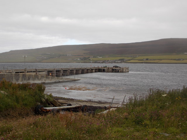
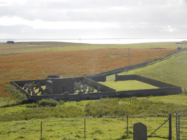
Taing of Trumland is a prominent coastal feature located in Orkney, an archipelago situated off the northeastern coast of Scotland. It is specifically found on the island of Rousay, which is renowned for its stunning natural landscapes. Taing of Trumland is classified as a headland, also referred to as a point, and is notable for its picturesque cliffs and rugged terrain.
The headland is characterized by its towering cliffs that overlook the North Atlantic Ocean, offering breathtaking panoramic views of the surrounding seascape. The cliffs are composed of layers of sedimentary rocks, showcasing the geological history of the area. The exposed rocks reveal evidence of ancient sea levels and the changing landscape over time.
Taing of Trumland is a favored spot among nature enthusiasts and photographers due to its outstanding beauty and unique flora and fauna. The headland is home to a diverse range of seabirds, including puffins, razorbills, and guillemots, making it a haven for birdwatchers.
Visitors to Taing of Trumland can explore the area by following the coastal footpath that winds along the cliff edge. The path provides access to various viewpoints, allowing visitors to fully appreciate the dramatic coastal scenery. It is advisable to take caution while walking along the cliffs, as they can be steep and exposed.
Overall, Taing of Trumland is a captivating coastal feature in Orkney that showcases the region's natural beauty and provides an ideal vantage point to observe the magnificent marine environment.
If you have any feedback on the listing, please let us know in the comments section below.
Taing of Trumland Images
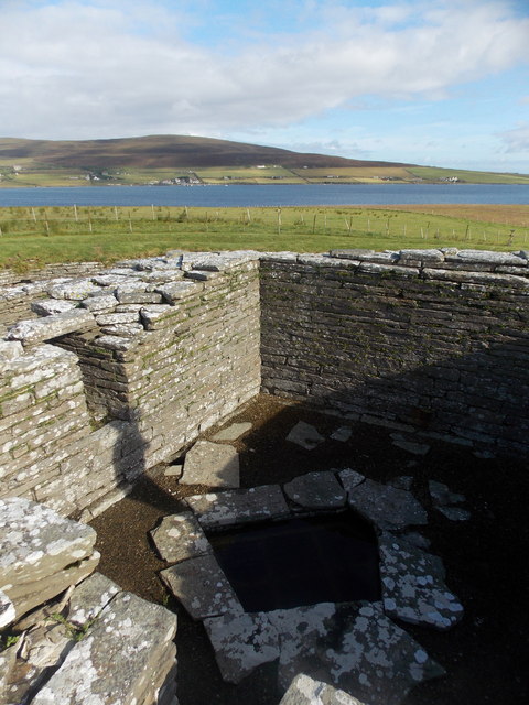
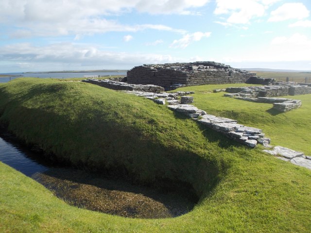
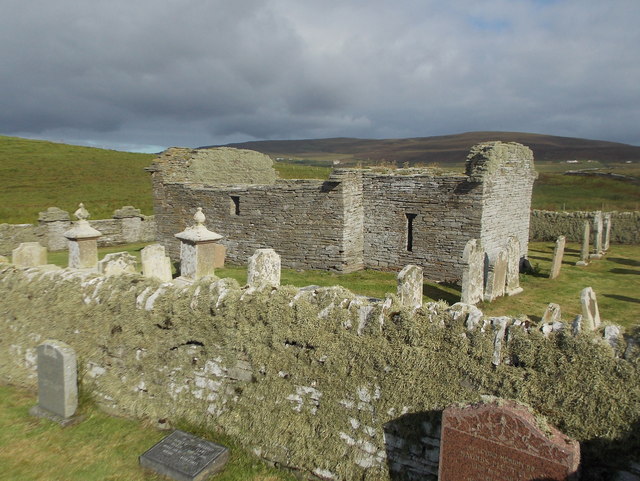
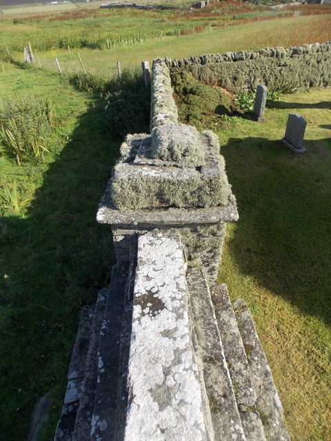
Images are sourced within 2km of 59.126808/-3.0010756 or Grid Reference HY4227. Thanks to Geograph Open Source API. All images are credited.


Taing of Trumland is located at Grid Ref: HY4227 (Lat: 59.126808, Lng: -3.0010756)
Unitary Authority: Orkney Islands
Police Authority: Highlands and Islands
What 3 Words
///indirect.ports.wand. Near Brinian, Orkney Islands
Nearby Locations
Related Wikis

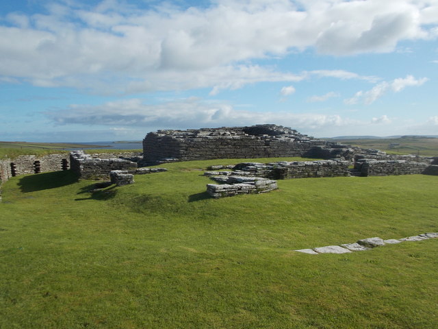
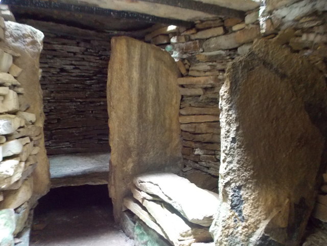
Taversöe Tuick
Taversöe Tuick (or Taversoe Tuick) is a Neolithic burial cairn on Rousay, Orkney, Scotland, thought to date from between 4000 and 2500 BCE. The monument...

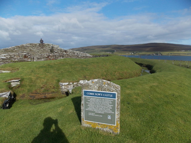
Trumland
Trumland is a Category B listed house and associated estate on Rousay, in Orkney, Scotland, built in its present form in the 1870s. Designed by David...

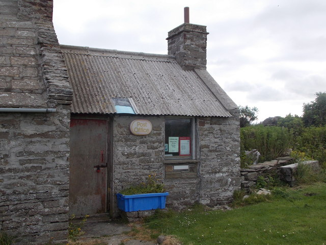
Brinian
Brinian is a village on the island of Rousay, in Orkney, Scotland. Trumland is situated to the west of the village, with Taversöe Tuick nearby. Brinian...

Blackhammer Chambered Cairn
Blackhammer Chambered Cairn is a Neolithic chambered cairn located on the island of Rousay, in Orkney, Scotland. The tomb, constructed around 3000 BC,...
Nearby Amenities
Located within 500m of 59.126808,-3.0010756Have you been to Taing of Trumland?
Leave your review of Taing of Trumland below (or comments, questions and feedback).