Selki Holes
Coastal Feature, Headland, Point in Orkney
Scotland
Selki Holes

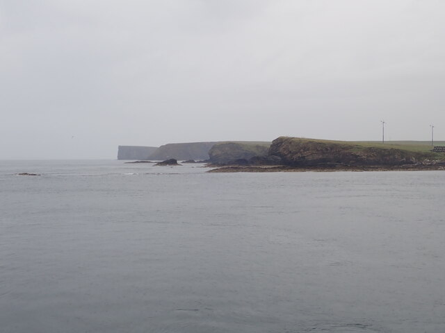
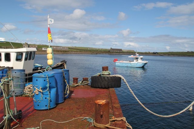
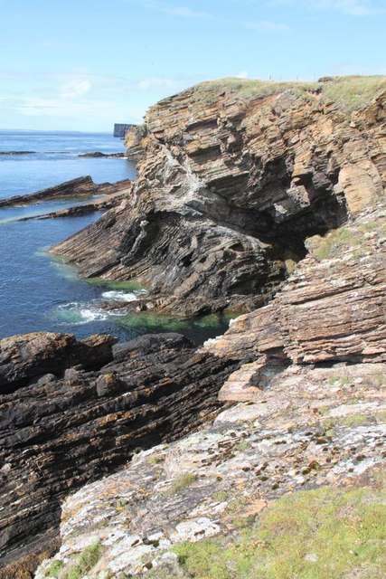
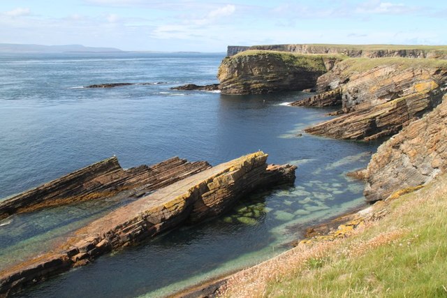
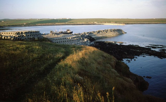
Selki Holes, located in Orkney, Scotland, is a prominent coastal feature that is often referred to as a headland or point. It is situated on the northern coast of the Mainland, the largest island in the Orkney archipelago. Selki Holes is known for its rugged and dramatic landscape, characterized by steep cliffs and unique geological formations.
The name "Selki Holes" is derived from the Norse word "selkie," which means seal. This is due to the numerous seals that inhabit the area and can often be seen resting on the rocks or swimming in the nearby waters. The cliffs at Selki Holes offer an excellent vantage point for observing these fascinating marine mammals in their natural habitat.
The coastal cliffs of Selki Holes are composed of sandstone and shale, which have been shaped and eroded by the relentless force of the North Atlantic waves. This erosion has resulted in the creation of several sea caves and rock arches that are a distinctive feature of the area. These geological formations add to the allure and beauty of Selki Holes, attracting both nature enthusiasts and photographers.
In addition to its natural beauty, Selki Holes also holds historical significance. It is believed that the site was once used as a lookout point during Viking times, providing a strategic advantage for monitoring the surrounding waters. Today, visitors can explore the remnants of these ancient structures and immerse themselves in the rich history of the area.
Overall, Selki Holes in Orkney is a captivating coastal feature that combines stunning natural scenery, diverse wildlife, and a fascinating historical past. It offers a unique and unforgettable experience for those who venture to its rugged shores.
If you have any feedback on the listing, please let us know in the comments section below.
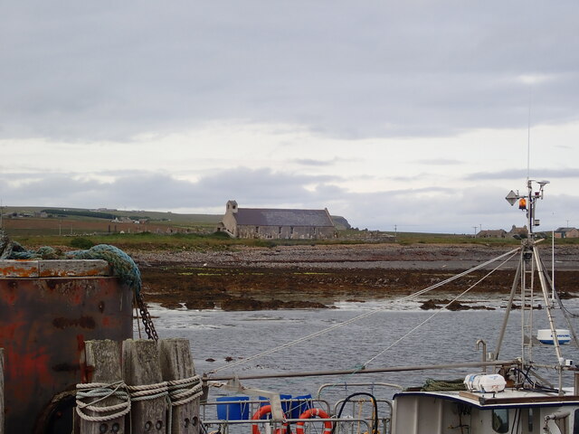
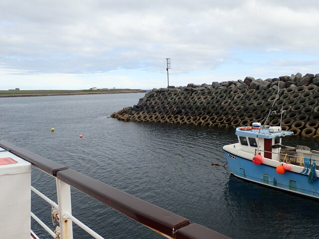
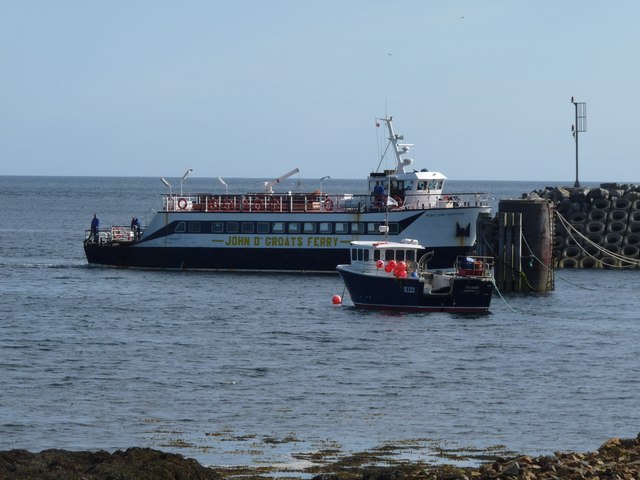
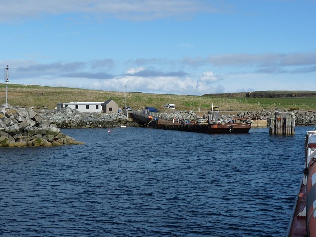
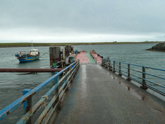
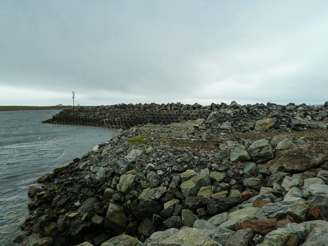
Selki Holes Images
Images are sourced within 2km of 58.751608/-2.9866192 or Grid Reference ND4385. Thanks to Geograph Open Source API. All images are credited.


Selki Holes is located at Grid Ref: ND4385 (Lat: 58.751608, Lng: -2.9866192)
Unitary Authority: Orkney Islands
Police Authority: Highlands and Islands
What 3 Words
///thinnest.hurry.bank. Near St Margaret's Hope, Orkney Islands
Nearby Locations
Related Wikis

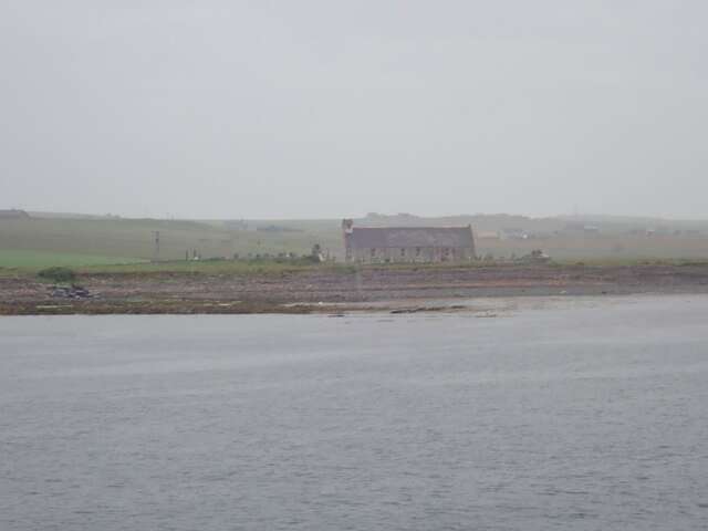
Burwick, Orkney
Burwick () is a small harbour on the island of South Ronaldsay in the Orkney Islands, Scotland. It is the closest Orkney harbour to the Scottish mainland...

HMS Opal (1915)
HMS Opal was an Admiralty M-class destroyer of the Royal Navy. She served in the First World War following her construction at Sunderland in 1915. Attached...

Liddle Burnt Mound
Liddle Burnt Mound is a Bronze Age site on the island of South Ronaldsay, Orkney. The site consists of the remains of a building and a mound that surrounds...

Tomb of the Eagles
The Tomb of the Eagles, or Isbister Chambered Cairn, is a Neolithic chambered tomb located on a cliff edge at Isbister on South Ronaldsay in Orkney, Scotland...

South Ronaldsay
South Ronaldsay (, also , Scots: Sooth Ronalshee) is one of the Orkney Islands off the north coast of Scotland. It is linked to the Orkney Mainland by...

Swona
Swona is an uninhabited privately-owned island in the Pentland Firth off the north coast of Scotland. == Geography and geology == Swona is the more northerly...

Herston, Orkney
Herston is a village on South Ronaldsay, Orkney, Scotland, United Kingdom. Herston is historically a fishing village but its only industry to speak of...

MV Cemfjord
The Cemfjord was a Cyprus-registered cargo ship which foundered in the Pentland Firth off the north-east coast of Scotland on 2 January 2015. Built as...
Nearby Amenities
Located within 500m of 58.751608,-2.9866192Have you been to Selki Holes?
Leave your review of Selki Holes below (or comments, questions and feedback).