The Needle

Coastal Feature, Headland, Point in Caithness

Scotland

The Needle

The way to Badbea
The way to Badbea Credit: Peter Moore

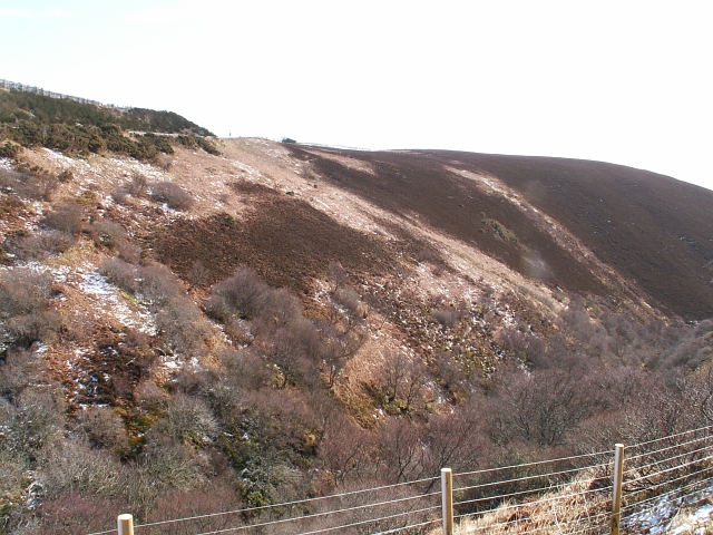
The Needle is a prominent coastal feature located in Caithness, a county in the Highland region of Scotland. It is a striking headland that juts out into the North Sea, forming a distinctive point along the rugged coastline. The Needle is characterized by its towering cliffs, which rise dramatically from the sea to a height of approximately 60 meters (200 feet).

The headland gets its name from a narrow rock stack that stands just off its eastern side, resembling a needle or spire. This rock formation is a result of erosion over thousands of years, as the relentless force of the sea has sculpted the coastline.

The Needle is known for its impressive geological formations and is a popular destination for nature enthusiasts and photographers. The sheer cliffs provide a nesting site for various seabirds, including fulmars, kittiwakes, and guillemots. Visitors can often observe these birds soaring above the cliffs and diving into the sea in search of fish.

The headland offers breathtaking views of the surrounding coastline and the vast expanse of the North Sea. On a clear day, it is possible to see as far as Orkney, a group of islands located to the north.

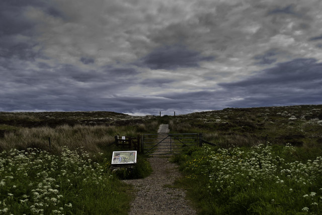
Access to The Needle is relatively straightforward, with a footpath leading from a nearby car park. However, caution is advised when approaching the cliff edges, as they can be unstable and dangerous.

In conclusion, The Needle in Caithness is a notable coastal feature, boasting impressive cliffs, a distinctive rock stack, and stunning views of the North Sea. It is a must-visit location for those seeking natural beauty and a glimpse into Scotland's rugged coastline.

If you have any feedback on the listing, please let us know in the comments section below.

The Needle Images

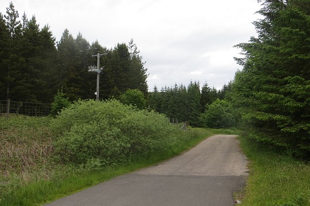
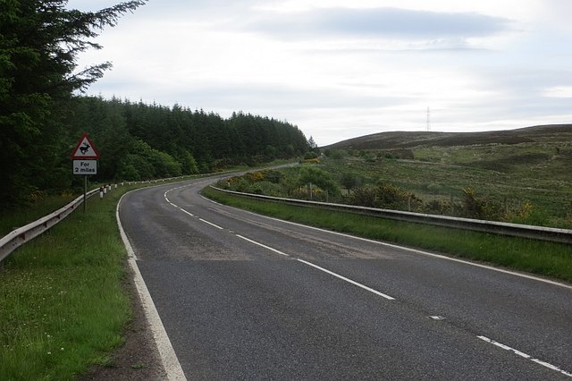
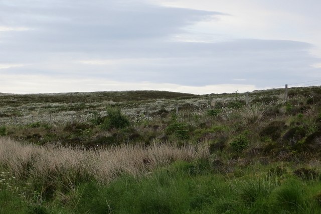
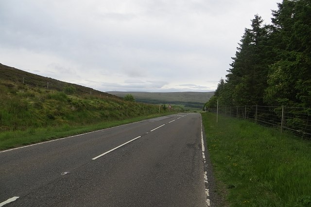
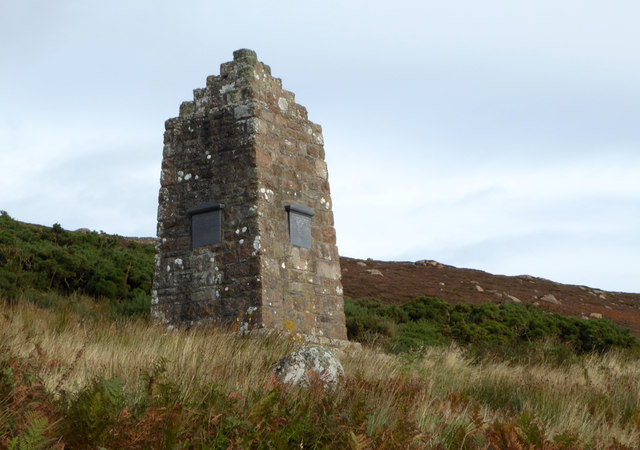
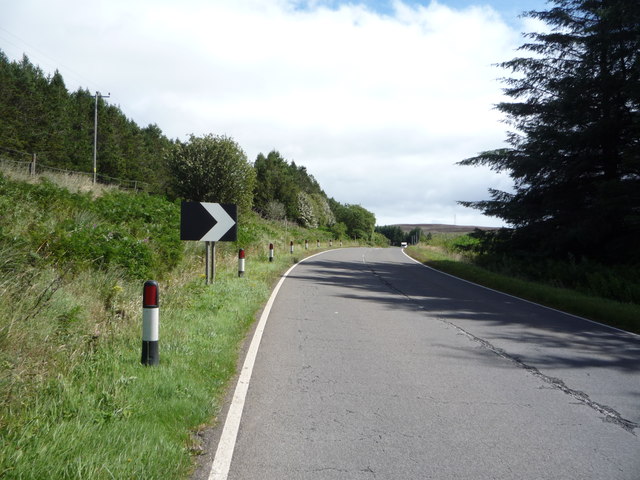
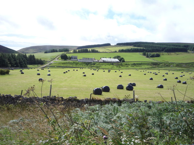
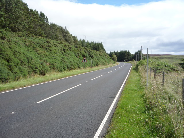
Images are sourced within 2km of 58.150692/-3.5620394 or Grid Reference ND0819. Thanks to Geograph Open Source API. All images are credited.

The way to Badbea
The way to Badbea
Badbea: a memory of the Highland Clearances Badbea is a very sad place, a grim reminder us of a disgraceful period in our national history.

Badbea is a ruined village on the cliff tops around 5 miles north of Helmsdale, in Caithness. The village was settled in the 18th and 19th centuries during the infamous Highland Clearances. Families were forcibly evicted from their homes in the Straths of Langwell, Ousdale and Berriedale to be replaced by sheep for the profit of the landlords.

From 1792 onwards, the displaced families began to arrive in Badbea, a small area of rough, steeply sloping land above the precipitous cliffs of Berriedale overlooking the North Sea. When the families arrived they were given small plots to farm, but had to clear the land, hack out the plots from the steep slopes, and build their own houses from the stones they found. The harshness of life in Badbea can be judged from the fact that, while the men and women were working the land, their livestock, and even their children, were on occasion tethered to rocks or posts to prevent them from being blown over the cliffs into the sea by the ferocious winds.

The family plots of land had room for a longhouse, with a byre at one end, and a kitchen garden or kailyard. The rest of the available land could only support a few small vegetable plots and a few cows, pigs and chickens for each family. There was only one horse in the village and thus the soil was ploughed by human effort.
Badbea: a memory of the Highland Clearances
Badbea is a very sad place, a grim reminder us of a disgraceful period in our national history. Badbea is a ruined village on the cliff tops around 5 miles north of Helmsdale, in Caithness. The village was settled in the 18th and 19th centuries during the infamous Highland Clearances. Families were forcibly evicted from their homes in the Straths of Langwell, Ousdale and Berriedale to be replaced by sheep for the profit of the landlords. From 1792 onwards, the displaced families began to arrive in Badbea, a small area of rough, steeply sloping land above the precipitous cliffs of Berriedale overlooking the North Sea. When the families arrived they were given small plots to farm, but had to clear the land, hack out the plots from the steep slopes, and build their own houses from the stones they found. The harshness of life in Badbea can be judged from the fact that, while the men and women were working the land, their livestock, and even their children, were on occasion tethered to rocks or posts to prevent them from being blown over the cliffs into the sea by the ferocious winds. The family plots of land had room for a longhouse, with a byre at one end, and a kitchen garden or kailyard. The rest of the available land could only support a few small vegetable plots and a few cows, pigs and chickens for each family. There was only one horse in the village and thus the soil was ploughed by human effort.
Original bridge by the A9
Badbea Monument The Badbea Monument.
Badbea Monument
The Badbea Monument.
Letter box, Ousdale Keeper's Cottage is on a disused loop of the A9. A ewe supplement box has been used as a letterbox. The bracken is a couple of weeks behind after a cold Spring in the North Atlantic.
Letter box, Ousdale
Keeper's Cottage is on a disused loop of the A9. A ewe supplement box has been used as a letterbox. The bracken is a couple of weeks behind after a cold Spring in the North Atlantic.
A9, Ousdale The road was rather quiet today, which was appreciated.  The woods are narrow, planted to keep snow off the road.
A9, Ousdale
The road was rather quiet today, which was appreciated. The woods are narrow, planted to keep snow off the road.
Old A9 A loop cut off by modernising the road over the Ord of Caithness.
Old A9
A loop cut off by modernising the road over the Ord of Caithness.
New A9 A modernised part of the road over the Ord of Caithness.
New A9
A modernised part of the road over the Ord of Caithness.
Ousdale A steep sided glen cuts down to the sea. It shelters birch woods.
Ousdale
A steep sided glen cuts down to the sea. It shelters birch woods.
Creagan Mòr Boggy moorland between the A9 and sea on the crossing of the Ord of Caithness.
Creagan Mòr
Boggy moorland between the A9 and sea on the crossing of the Ord of Caithness.
A9 Passing the car park for Badbea on the high level (but close to the coast) crossing of the Ord of Caithness.  A sense of dread prevails, Berriedale and its braes are getting closer.
A9
Passing the car park for Badbea on the high level (but close to the coast) crossing of the Ord of Caithness. A sense of dread prevails, Berriedale and its braes are getting closer.
Badbea Monument Monument from 1911, in memory of the inhabitants of Badbea, a Highland clearance village.
Badbea Monument
Monument from 1911, in memory of the inhabitants of Badbea, a Highland clearance village.
Woodland beside the A9 Near Ousdale.
Woodland beside the A9
Near Ousdale.
Approaching bend on the A9 near Ousdale Heading north east towards Dunbeath.
Approaching bend on the A9 near Ousdale
Heading north east towards Dunbeath.
Woodland beside the A9, Ousdale
Bend in the A9 near Keepers Cottage Heading east towards Dunbeath.
Bend in the A9 near Keepers Cottage
Heading east towards Dunbeath.
Silage field, Ousdale
A9, Ousdale Heading east towards Dunbeath.
A9, Ousdale
Heading east towards Dunbeath.
Show me another place!

The Needle is located at Grid Ref: ND0819 (Lat: 58.150692, Lng: -3.5620394)

Unitary Authority: Highland

Police Authority: Highlands and Islands

What 3 Words

///dial.poetry.bills. Near Dunbeath, Highland

Related Wikis

Ousdale Broch

Ousdale Broch, also known as Ousdale Burn or Allt a’ Bhurg (Scots Gaelic: ‘stream of the fort’) Broch, is an Iron Age broch (drystone tower) located between...

Badbea

Badbea (pronounced bad-bay) is a former clearance village perched on the steep slopes above the cliff tops of Berriedale on the east coast of Caithness...

Ord of Caithness

The Ord of Caithness is a granite mass on the east coast of the Highland council area of Scotland, on the boundary of the counties Sutherland and Caithness...

Berriedale Castle

Berriedale Castle is a ruined castle located on a promontory on the south of the entrance to the Berriedale Water, Caithness in Scotland. == Structure... ==

Have you been to The Needle?

Leave your review of The Needle below (or comments, questions and feedback).