Sròn a Ghleannain

Island in Caithness

Scotland

Sròn a Ghleannain

The way to Badbea
The way to Badbea Credit: Peter Moore

Sròn a Ghleannain is a small island located off the northern coast of Caithness in Scotland. Situated in the Pentland Firth, it is part of the Orkney archipelago. The island is approximately 1.5 miles long and has a maximum width of 0.5 miles.

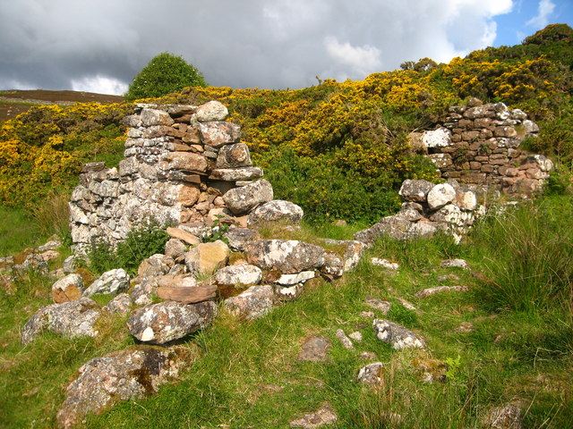
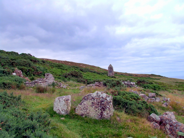
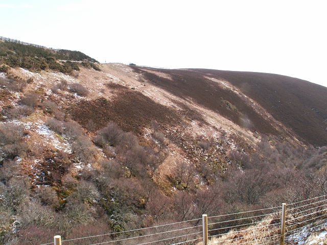
Known for its rugged and rocky terrain, Sròn a Ghleannain offers stunning views of the surrounding sea and nearby cliffs. The island is predominantly uninhabited, with only a few scattered cottages and ruins of past settlements. The lack of permanent residents contributes to the island's untouched and natural beauty.

Despite its small size, Sròn a Ghleannain is home to a diverse range of wildlife, including seabirds, seals, and occasional sightings of whales and dolphins. The surrounding waters are known for their rich marine life, making it a popular spot for fishing and diving enthusiasts.

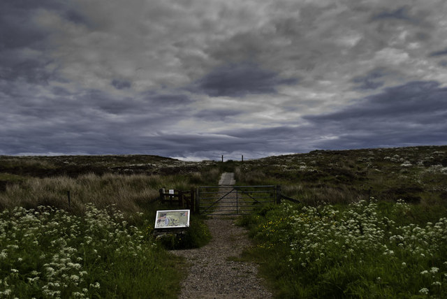
Access to Sròn a Ghleannain is primarily by boat, with several local operators providing transportation services from nearby ports. There are no facilities or amenities on the island, so visitors are advised to bring their own supplies and be prepared for a remote and unspoiled experience.

Sròn a Ghleannain is a haven for nature lovers, photographers, and those seeking solitude amidst the wild beauty of the Scottish coast. Its untouched landscapes and abundant wildlife make it a truly remarkable destination for those seeking an escape from the hustle and bustle of everyday life.

If you have any feedback on the listing, please let us know in the comments section below.

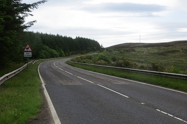
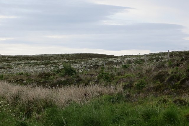
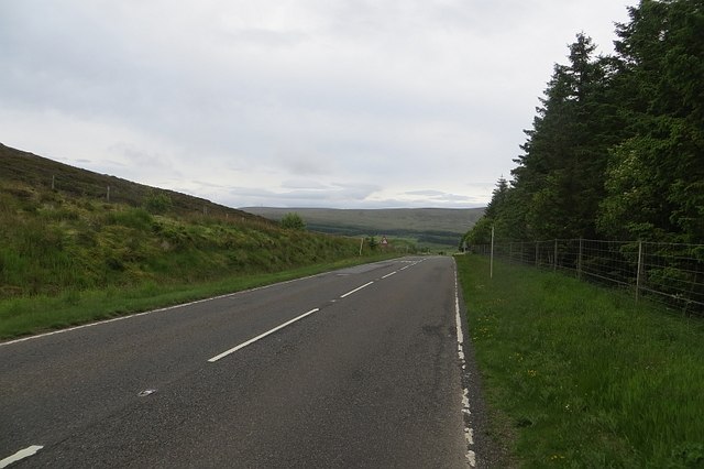
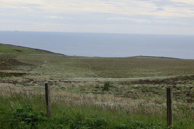
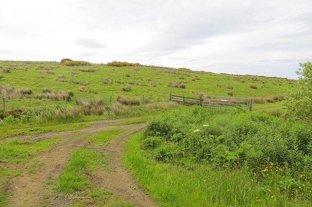
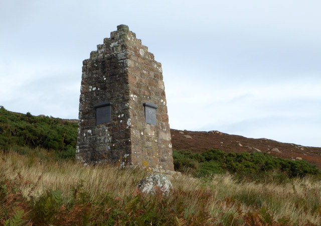
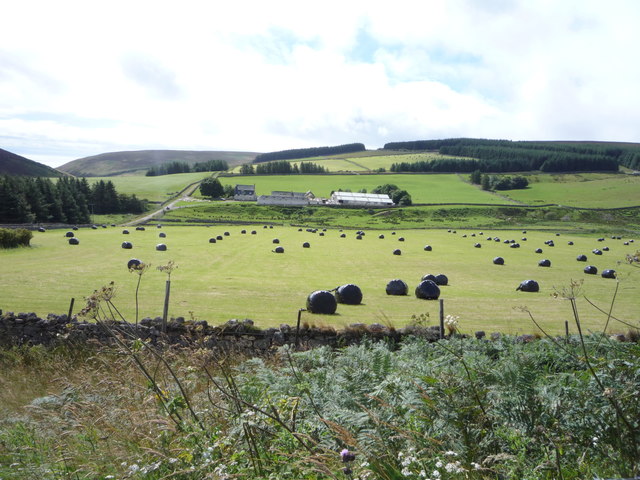
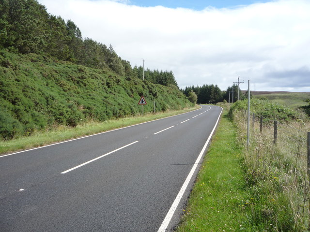
Sròn a Ghleannain Images

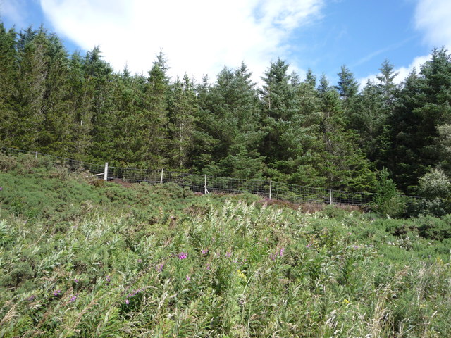
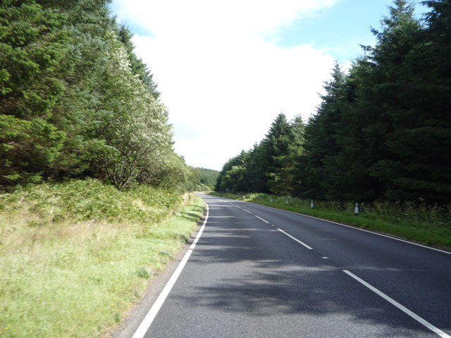
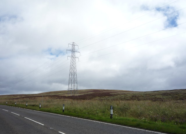
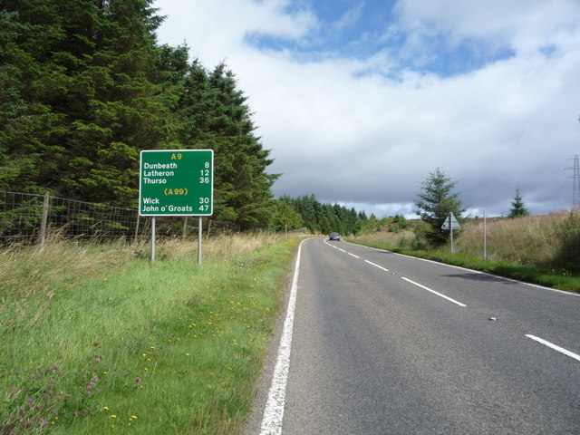
Images are sourced within 2km of 58.157334/-3.5499924 or Grid Reference ND0819. Thanks to Geograph Open Source API. All images are credited.

The way to Badbea
The way to Badbea
Badbea: a memory of the Highland Clearances Badbea is a very sad place, a grim reminder us of a disgraceful period in our national history.

Badbea is a ruined village on the cliff tops around 5 miles north of Helmsdale, in Caithness. The village was settled in the 18th and 19th centuries during the infamous Highland Clearances. Families were forcibly evicted from their homes in the Straths of Langwell, Ousdale and Berriedale to be replaced by sheep for the profit of the landlords.

From 1792 onwards, the displaced families began to arrive in Badbea, a small area of rough, steeply sloping land above the precipitous cliffs of Berriedale overlooking the North Sea. When the families arrived they were given small plots to farm, but had to clear the land, hack out the plots from the steep slopes, and build their own houses from the stones they found. The harshness of life in Badbea can be judged from the fact that, while the men and women were working the land, their livestock, and even their children, were on occasion tethered to rocks or posts to prevent them from being blown over the cliffs into the sea by the ferocious winds.

The family plots of land had room for a longhouse, with a byre at one end, and a kitchen garden or kailyard. The rest of the available land could only support a few small vegetable plots and a few cows, pigs and chickens for each family. There was only one horse in the village and thus the soil was ploughed by human effort.
Badbea: a memory of the Highland Clearances
Badbea is a very sad place, a grim reminder us of a disgraceful period in our national history. Badbea is a ruined village on the cliff tops around 5 miles north of Helmsdale, in Caithness. The village was settled in the 18th and 19th centuries during the infamous Highland Clearances. Families were forcibly evicted from their homes in the Straths of Langwell, Ousdale and Berriedale to be replaced by sheep for the profit of the landlords. From 1792 onwards, the displaced families began to arrive in Badbea, a small area of rough, steeply sloping land above the precipitous cliffs of Berriedale overlooking the North Sea. When the families arrived they were given small plots to farm, but had to clear the land, hack out the plots from the steep slopes, and build their own houses from the stones they found. The harshness of life in Badbea can be judged from the fact that, while the men and women were working the land, their livestock, and even their children, were on occasion tethered to rocks or posts to prevent them from being blown over the cliffs into the sea by the ferocious winds. The family plots of land had room for a longhouse, with a byre at one end, and a kitchen garden or kailyard. The rest of the available land could only support a few small vegetable plots and a few cows, pigs and chickens for each family. There was only one horse in the village and thus the soil was ploughed by human effort.
Original bridge by the A9
Badbea Monument The Badbea Monument.
Badbea Monument
The Badbea Monument.
Old A9 A loop cut off by modernising the road over the Ord of Caithness.
Old A9
A loop cut off by modernising the road over the Ord of Caithness.
New A9 A modernised part of the road over the Ord of Caithness.
New A9
A modernised part of the road over the Ord of Caithness.
Ousdale A steep sided glen cuts down to the sea. It shelters birch woods.
Ousdale
A steep sided glen cuts down to the sea. It shelters birch woods.
Creagan Mòr Boggy moorland between the A9 and sea on the crossing of the Ord of Caithness.
Creagan Mòr
Boggy moorland between the A9 and sea on the crossing of the Ord of Caithness.
A9 Passing the car park for Badbea on the high level (but close to the coast) crossing of the Ord of Caithness.  A sense of dread prevails, Berriedale and its braes are getting closer.
A9
Passing the car park for Badbea on the high level (but close to the coast) crossing of the Ord of Caithness. A sense of dread prevails, Berriedale and its braes are getting closer.
Moorland, Badbea Above high cliffs and beside the A9.
Moorland, Badbea
Above high cliffs and beside the A9.
Road on Inver Hill A loop of rough road between the sea and A9 road.
Road on Inver Hill
A loop of rough road between the sea and A9 road.
Badbea Monument Monument from 1911, in memory of the inhabitants of Badbea, a Highland clearance village.
Badbea Monument
Monument from 1911, in memory of the inhabitants of Badbea, a Highland clearance village.
Silage field, Ousdale
A9, Ousdale Heading east towards Dunbeath.
A9, Ousdale
Heading east towards Dunbeath.
Woodland above the A9, Ousdale
A9 towards Dunbeath Heading east beside woodland.
A9 towards Dunbeath
Heading east beside woodland.
Pylon on moorland, Badbea
Dunbeath 8 Miles Heading north east on the A9, Badbea.
Dunbeath 8 Miles
Heading north east on the A9, Badbea.
Show me another place!

Sròn a Ghleannain is located at Grid Ref: ND0819 (Lat: 58.157334, Lng: -3.5499924)

Unitary Authority: Highland

Police Authority: Highlands and Islands

What 3 Words

///stewing.printouts.pushing. Near Dunbeath, Highland

Related Wikis

Badbea

Badbea (pronounced bad-bay) is a former clearance village perched on the steep slopes above the cliff tops of Berriedale on the east coast of Caithness...

Ousdale Broch

Ousdale Broch, also known as Ousdale Burn or Allt a’ Bhurg (Scots Gaelic: ‘stream of the fort’) Broch, is an Iron Age broch (drystone tower) located between...

Ord of Caithness

The Ord of Caithness is a granite mass on the east coast of the Highland council area of Scotland, on the boundary of the counties Sutherland and Caithness...

Berriedale Castle

Berriedale Castle is a ruined castle located on a promontory on the south of the entrance to the Berriedale Water, Caithness in Scotland. == Structure... ==

Nearby Amenities

Located within 500m of 58.157334,-3.5499924
Badbea Clearance Village
Place: locality
Wikidata: Q4840650
Wikipedia: en:Badbea
Lat/Long: 58.1601475/-3.5512172
The data included in this document is from www.openstreetmap.org. The data is made available under ODbL.

Have you been to Sròn a Ghleannain?

Leave your review of Sròn a Ghleannain below (or comments, questions and feedback).