Sròn Mhòr
Coastal Feature, Headland, Point in Caithness
Scotland
Sròn Mhòr
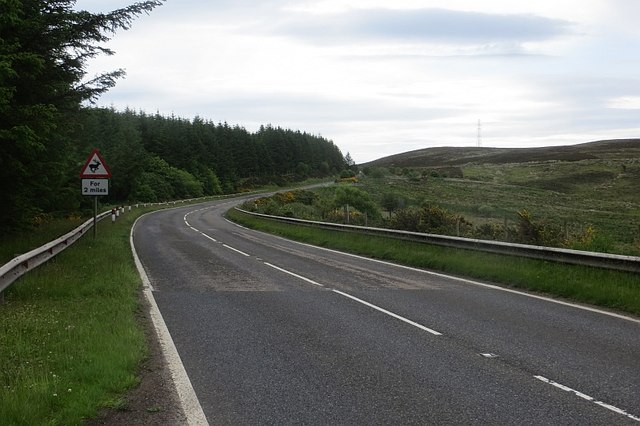
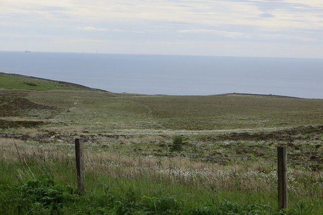
Sròn Mhòr is a prominent coastal feature located in Caithness, Scotland. It is a headland that juts out into the North Sea, forming a distinctive point along the coastline. The name "Sròn Mhòr" translates to "big nose" in Gaelic, which accurately describes its shape and appearance.
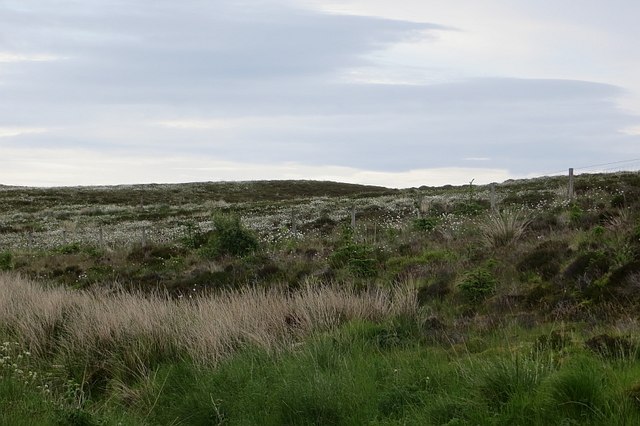
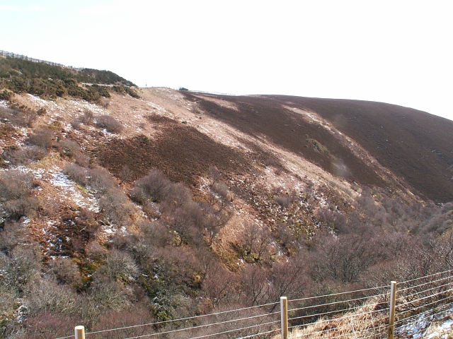
This headland is characterized by steep cliffs that rise dramatically from the sea, providing a stunning and rugged landscape. The cliffs are composed of sedimentary rock formations, showcasing layers of different geological periods. The rock is mainly sandstone, which has been weathered and eroded over time by the relentless crashing of the waves.
The area surrounding Sròn Mhòr is home to a diverse range of flora and fauna. The cliff faces provide nesting sites for various seabirds, including puffins, guillemots, and razorbills. The surrounding waters are also rich in marine life, with seals and dolphins often spotted in the vicinity.
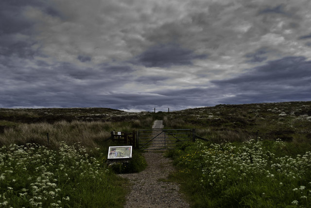
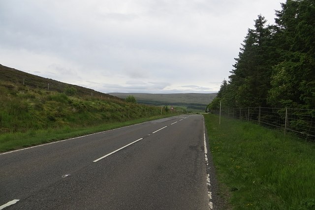
Due to its dramatic natural beauty and ecological significance, Sròn Mhòr has become a popular destination for nature lovers and hikers. Several walking trails traverse the headland, allowing visitors to explore its rugged beauty and enjoy breathtaking views of the surrounding coastline. The headland also offers opportunities for birdwatching and photography, with its striking cliffs and diverse wildlife providing ample subjects.
Overall, Sròn Mhòr is a captivating coastal feature in Caithness, offering a unique experience for those who visit. Its towering cliffs, abundant wildlife, and stunning views make it a must-see destination for nature enthusiasts and tourists alike.
If you have any feedback on the listing, please let us know in the comments section below.
Sròn Mhòr Images
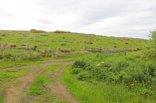
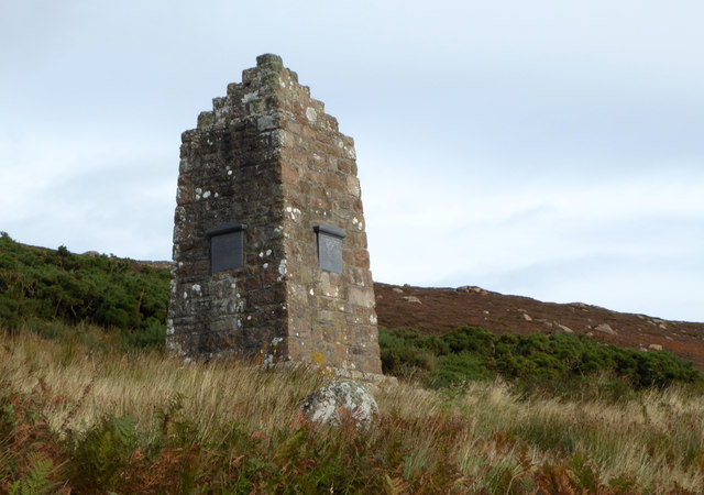
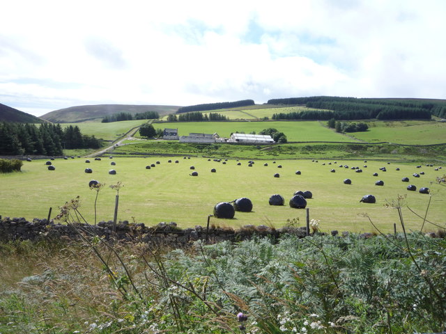
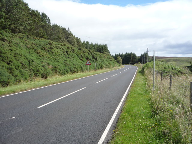
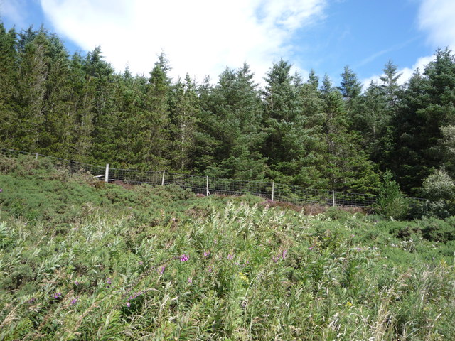
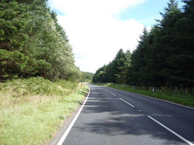
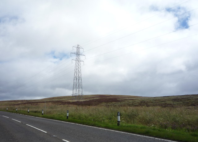
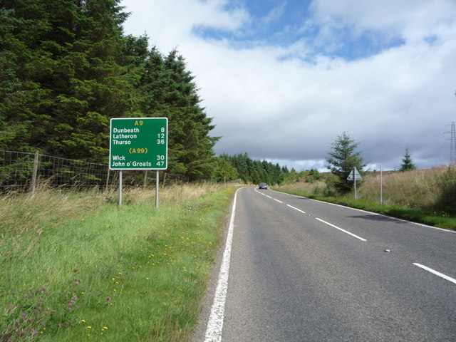
Images are sourced within 2km of 58.154988/-3.5523035 or Grid Reference ND0819. Thanks to Geograph Open Source API. All images are credited.


Sròn Mhòr is located at Grid Ref: ND0819 (Lat: 58.154988, Lng: -3.5523035)
Unitary Authority: Highland
Police Authority: Highlands and Islands
What 3 Words
///cubes.exits.debater. Near Dunbeath, Highland
Nearby Locations
Related Wikis

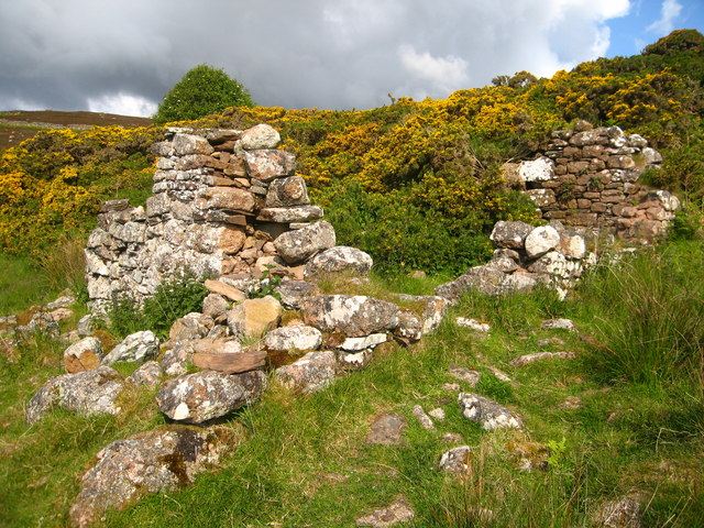
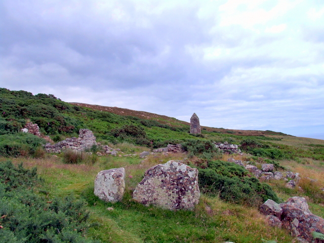
Badbea
Badbea (pronounced bad-bay) is a former clearance village perched on the steep slopes above the cliff tops of Berriedale on the east coast of Caithness...

Ousdale Broch
Ousdale Broch, also known as Ousdale Burn or Allt a’ Bhurg (Scots Gaelic: ‘stream of the fort’) Broch, is an Iron Age broch (drystone tower) located between...
Ord of Caithness
The Ord of Caithness is a granite mass on the east coast of the Highland council area of Scotland, on the boundary of the counties Sutherland and Caithness...

Berriedale Castle
Berriedale Castle is a ruined castle located on a promontory on the south of the entrance to the Berriedale Water, Caithness in Scotland. == Structure... ==
Have you been to Sròn Mhòr?
Leave your review of Sròn Mhòr below (or comments, questions and feedback).