Tràigh Muidhe Cleite
Coastal Feature, Headland, Point in Caithness
Scotland
Tràigh Muidhe Cleite
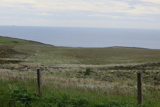
Tràigh Muidhe Cleite is a prominent coastal feature located in Caithness, Scotland. It is a headland that extends out into the North Sea, forming a distinctive point along the rugged coastline. The name "Tràigh Muidhe Cleite" translates to "beach of the rounded headland" in Gaelic, perfectly capturing the essence of this natural landmark.
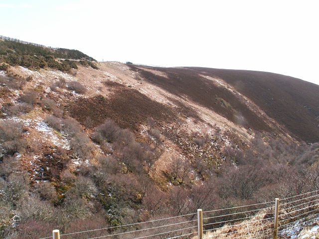
The headland is characterized by its dramatic cliffs, which rise steeply from the sea, creating a striking sight for visitors. The cliffs are composed of sedimentary rock layers, displaying a variety of colors and textures that add to the overall beauty of the area. These formations have been shaped by the relentless force of the wind and waves over thousands of years.
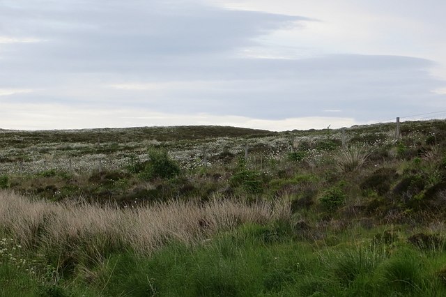
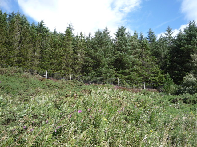
Tràigh Muidhe Cleite is a haven for wildlife enthusiasts, offering a diverse range of flora and fauna. The headland provides a nesting ground for seabirds such as guillemots and kittiwakes, which can be observed soaring and diving around the cliffs. Common seals can often be spotted basking on the rocks below, while dolphins and porpoises occasionally make appearances offshore.
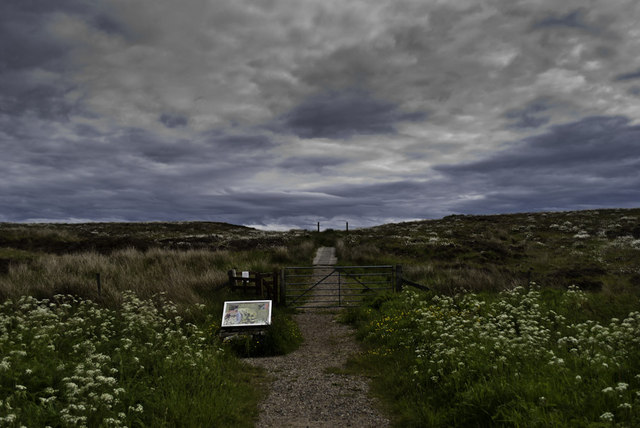
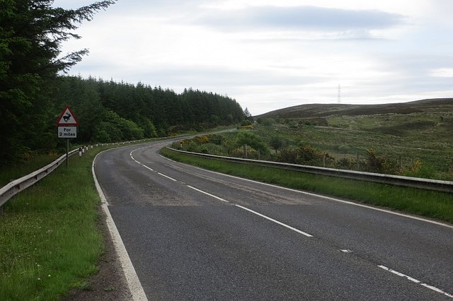
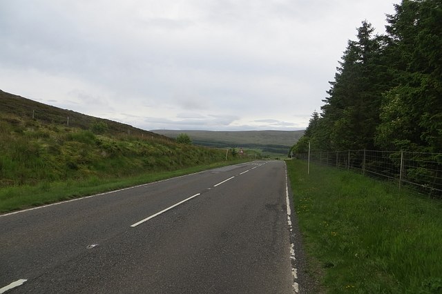
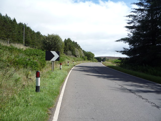
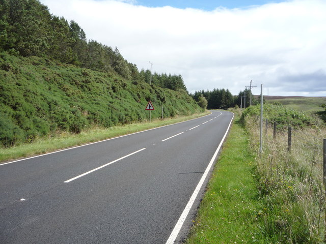
Access to Tràigh Muidhe Cleite is relatively easy, with a footpath leading from the nearby coastal road. The path offers breathtaking views of the surrounding coastline and leads visitors to a viewpoint overlooking the headland. From here, visitors can marvel at the rugged beauty of the area and take in the sights and sounds of the crashing waves and the calls of seabirds.
Tràigh Muidhe Cleite is a must-visit destination for nature lovers and those seeking a glimpse of Scotland's stunning coastal landscapes.
If you have any feedback on the listing, please let us know in the comments section below.
Tràigh Muidhe Cleite Images
Images are sourced within 2km of 58.153127/-3.5568784 or Grid Reference ND0819. Thanks to Geograph Open Source API. All images are credited.


Tràigh Muidhe Cleite is located at Grid Ref: ND0819 (Lat: 58.153127, Lng: -3.5568784)
Unitary Authority: Highland
Police Authority: Highlands and Islands
What 3 Words
///minivans.spill.tubes. Near Dunbeath, Highland
Nearby Locations
Related Wikis

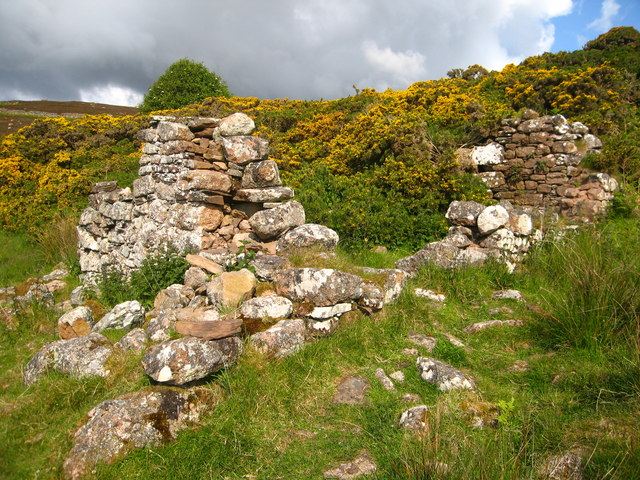
Badbea
Badbea (pronounced bad-bay) is a former clearance village perched on the steep slopes above the cliff tops of Berriedale on the east coast of Caithness...

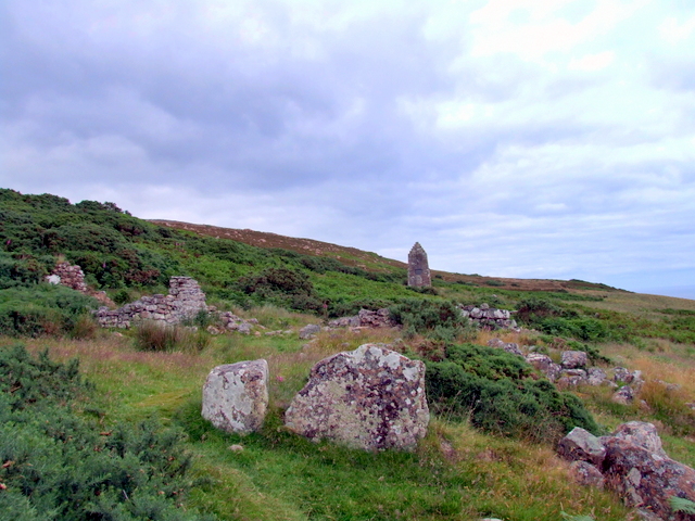
Ousdale Broch
Ousdale Broch, also known as Ousdale Burn or Allt a’ Bhurg (Scots Gaelic: ‘stream of the fort’) Broch, is an Iron Age broch (drystone tower) located between...
Ord of Caithness
The Ord of Caithness is a granite mass on the east coast of the Highland council area of Scotland, on the boundary of the counties Sutherland and Caithness...

Berriedale Castle
Berriedale Castle is a ruined castle located on a promontory on the south of the entrance to the Berriedale Water, Caithness in Scotland. == Structure... ==
Have you been to Tràigh Muidhe Cleite?
Leave your review of Tràigh Muidhe Cleite below (or comments, questions and feedback).