Sgreadan Dearg

Coastal Feature, Headland, Point in Caithness

Scotland

Sgreadan Dearg

The way to Badbea
The way to Badbea Credit: Peter Moore

Sgreadan Dearg is a prominent coastal feature located in Caithness, Scotland. It is a headland or point that extends into the North Sea, situated on the eastern coast of the county. The name "Sgreadan Dearg" is derived from Gaelic and translates to "red herring."

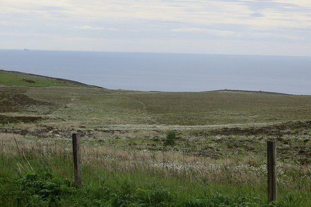
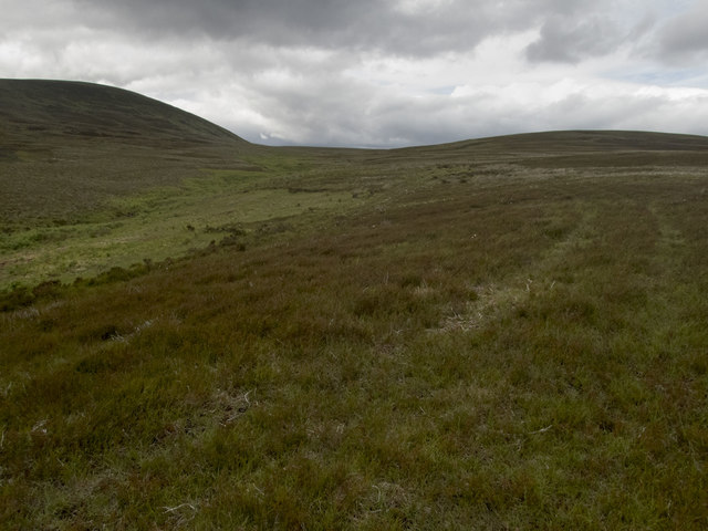
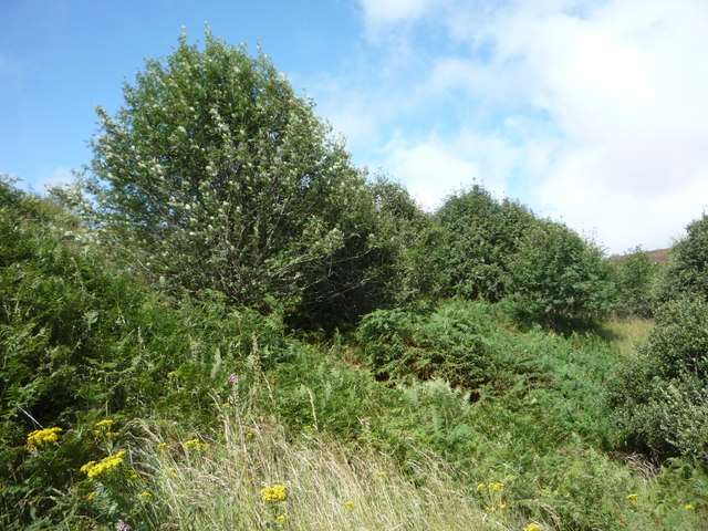
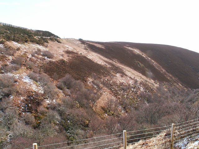
The headland is characterized by its rugged and rocky terrain, with steep cliffs that rise up from the sea. These cliffs are composed of sandstone and sedimentary rocks, offering a stunning visual contrast against the blue waters of the North Sea. The area is also known for its diverse wildlife, including various seabird species that nest on the cliffs, such as puffins, guillemots, and kittiwakes.

Sgreadan Dearg provides breathtaking panoramic views of the surrounding coastal landscape. On a clear day, one can see the distant Orkney Islands to the northeast, adding to the allure of the place. The headland is often visited by nature enthusiasts, hikers, and photographers who are drawn to its beauty and tranquility.

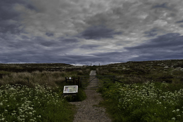
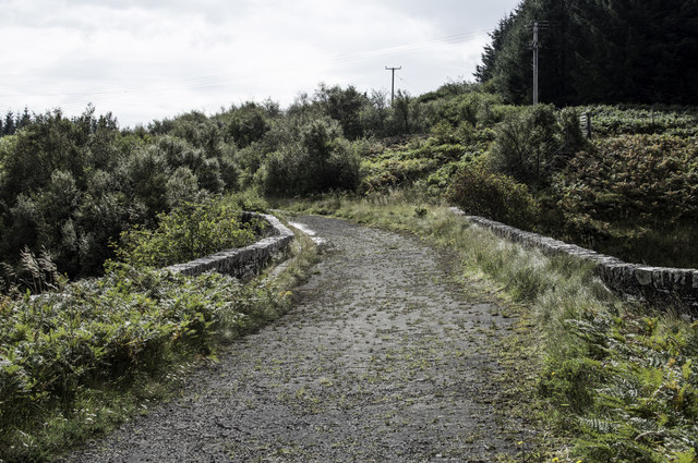
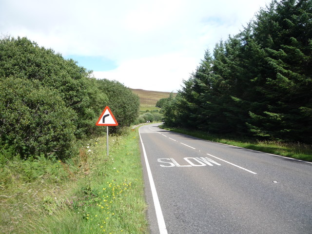
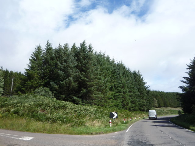
Access to Sgreadan Dearg is available via a coastal path that winds its way along the cliffs. The path allows visitors to explore the headland and its surroundings, providing opportunities to observe the marine life, enjoy the coastal breeze, and capture stunning photographs of the coastline.

Overall, Sgreadan Dearg is a notable coastal feature in Caithness, offering a unique blend of natural beauty, wildlife, and scenic views that attract visitors from near and far.

If you have any feedback on the listing, please let us know in the comments section below.

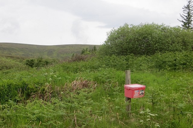
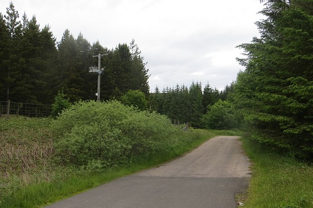
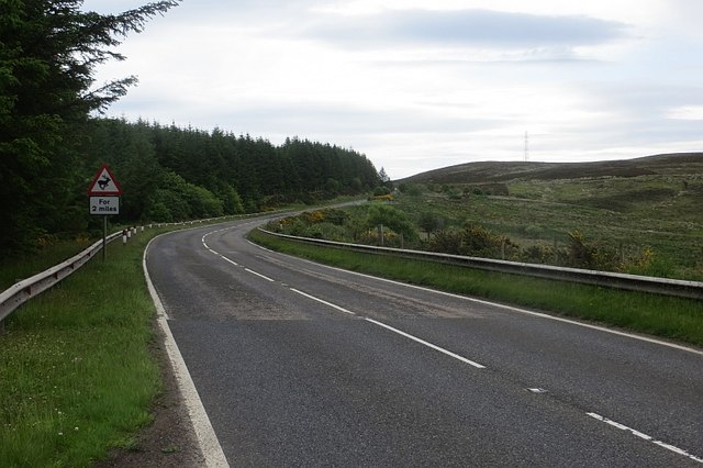
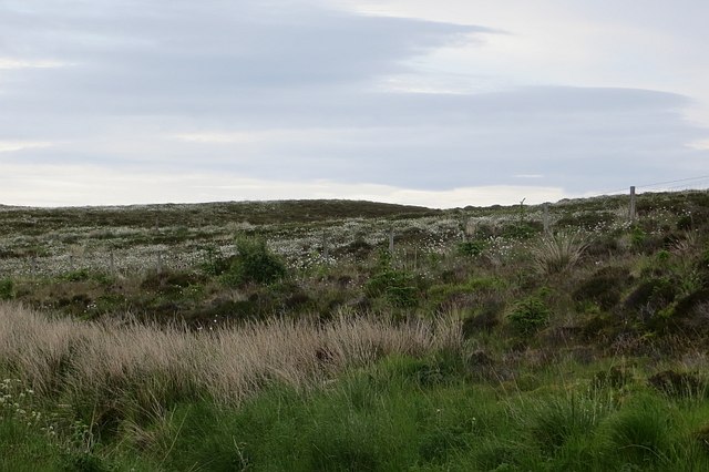
Sgreadan Dearg Images

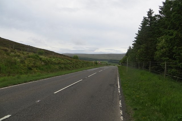
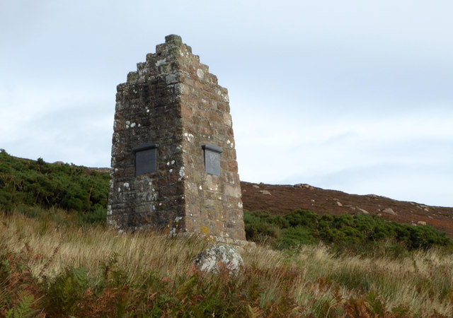
Images are sourced within 2km of 58.155317/-3.5614604 or Grid Reference ND0819. Thanks to Geograph Open Source API. All images are credited.

The way to Badbea
The way to Badbea
Badbea: a memory of the Highland Clearances Badbea is a very sad place, a grim reminder us of a disgraceful period in our national history.

Badbea is a ruined village on the cliff tops around 5 miles north of Helmsdale, in Caithness. The village was settled in the 18th and 19th centuries during the infamous Highland Clearances. Families were forcibly evicted from their homes in the Straths of Langwell, Ousdale and Berriedale to be replaced by sheep for the profit of the landlords.

From 1792 onwards, the displaced families began to arrive in Badbea, a small area of rough, steeply sloping land above the precipitous cliffs of Berriedale overlooking the North Sea. When the families arrived they were given small plots to farm, but had to clear the land, hack out the plots from the steep slopes, and build their own houses from the stones they found. The harshness of life in Badbea can be judged from the fact that, while the men and women were working the land, their livestock, and even their children, were on occasion tethered to rocks or posts to prevent them from being blown over the cliffs into the sea by the ferocious winds.

The family plots of land had room for a longhouse, with a byre at one end, and a kitchen garden or kailyard. The rest of the available land could only support a few small vegetable plots and a few cows, pigs and chickens for each family. There was only one horse in the village and thus the soil was ploughed by human effort.
Badbea: a memory of the Highland Clearances
Badbea is a very sad place, a grim reminder us of a disgraceful period in our national history. Badbea is a ruined village on the cliff tops around 5 miles north of Helmsdale, in Caithness. The village was settled in the 18th and 19th centuries during the infamous Highland Clearances. Families were forcibly evicted from their homes in the Straths of Langwell, Ousdale and Berriedale to be replaced by sheep for the profit of the landlords. From 1792 onwards, the displaced families began to arrive in Badbea, a small area of rough, steeply sloping land above the precipitous cliffs of Berriedale overlooking the North Sea. When the families arrived they were given small plots to farm, but had to clear the land, hack out the plots from the steep slopes, and build their own houses from the stones they found. The harshness of life in Badbea can be judged from the fact that, while the men and women were working the land, their livestock, and even their children, were on occasion tethered to rocks or posts to prevent them from being blown over the cliffs into the sea by the ferocious winds. The family plots of land had room for a longhouse, with a byre at one end, and a kitchen garden or kailyard. The rest of the available land could only support a few small vegetable plots and a few cows, pigs and chickens for each family. There was only one horse in the village and thus the soil was ploughed by human effort.
Original bridge by the A9
Badbea Monument The Badbea Monument.
Badbea Monument
The Badbea Monument.
Old A9 crossing the Ousdale Burn
Letter box, Ousdale Keeper's Cottage is on a disused loop of the A9. A ewe supplement box has been used as a letterbox. The bracken is a couple of weeks behind after a cold Spring in the North Atlantic.
Letter box, Ousdale
Keeper's Cottage is on a disused loop of the A9. A ewe supplement box has been used as a letterbox. The bracken is a couple of weeks behind after a cold Spring in the North Atlantic.
A9, Ousdale The road was rather quiet today, which was appreciated.  The woods are narrow, planted to keep snow off the road.
A9, Ousdale
The road was rather quiet today, which was appreciated. The woods are narrow, planted to keep snow off the road.
Old A9 A loop cut off by modernising the road over the Ord of Caithness.
Old A9
A loop cut off by modernising the road over the Ord of Caithness.
New A9 A modernised part of the road over the Ord of Caithness.
New A9
A modernised part of the road over the Ord of Caithness.
Ousdale A steep sided glen cuts down to the sea. It shelters birch woods.
Ousdale
A steep sided glen cuts down to the sea. It shelters birch woods.
Creagan Mòr Boggy moorland between the A9 and sea on the crossing of the Ord of Caithness.
Creagan Mòr
Boggy moorland between the A9 and sea on the crossing of the Ord of Caithness.
A9 Passing the car park for Badbea on the high level (but close to the coast) crossing of the Ord of Caithness.  A sense of dread prevails, Berriedale and its braes are getting closer.
A9
Passing the car park for Badbea on the high level (but close to the coast) crossing of the Ord of Caithness. A sense of dread prevails, Berriedale and its braes are getting closer.
Moorland, Badbea Above high cliffs and beside the A9.
Moorland, Badbea
Above high cliffs and beside the A9.
Badbea Monument Monument from 1911, in memory of the inhabitants of Badbea, a Highland clearance village.
Badbea Monument
Monument from 1911, in memory of the inhabitants of Badbea, a Highland clearance village.
Moorland stream The brighter green of the ferns marks the route of the Allt Braigh nam Meur, marked on the 1:50000 but named only on the 1:25000 OS map. The track I was following from the gate in the deer fence to the south was not marked. It gave easy walking through occasionally boggy ground. There was evidence cattle had been grazed here, but I met none. The hill (Braigh na h-Eaglaise 422m) is in <a href="https://www.geograph.org.uk/gridref/ND0622">ND0622</a>, but the unnamed high ground to the right has its highest point (275m) near the northern edge of the square.
Moorland stream
The brighter green of the ferns marks the route of the Allt Braigh nam Meur, marked on the 1:50000 but named only on the 1:25000 OS map. The track I was following from the gate in the deer fence to the south was not marked. It gave easy walking through occasionally boggy ground. There was evidence cattle had been grazed here, but I met none. The hill (Braigh na h-Eaglaise 422m) is in ND0622, but the unnamed high ground to the right has its highest point (275m) near the northern edge of the square.
Woodland beside the A9 Near Ousdale.
Woodland beside the A9
Near Ousdale.
Approaching bend on the A9 near Ousdale Heading north east towards Dunbeath.
Approaching bend on the A9 near Ousdale
Heading north east towards Dunbeath.
Woodland beside the A9, Ousdale
Show me another place!

Sgreadan Dearg is located at Grid Ref: ND0819 (Lat: 58.155317, Lng: -3.5614604)

Unitary Authority: Highland

Police Authority: Highlands and Islands

What 3 Words

///movements.interest.homework. Near Dunbeath, Highland

Related Wikis

Badbea

Badbea (pronounced bad-bay) is a former clearance village perched on the steep slopes above the cliff tops of Berriedale on the east coast of Caithness...

Ousdale Broch

Ousdale Broch, also known as Ousdale Burn or Allt a’ Bhurg (Scots Gaelic: ‘stream of the fort’) Broch, is an Iron Age broch (drystone tower) located between...

Ord of Caithness

The Ord of Caithness is a granite mass on the east coast of the Highland council area of Scotland, on the boundary of the counties Sutherland and Caithness...

Berriedale Castle

Berriedale Castle is a ruined castle located on a promontory on the south of the entrance to the Berriedale Water, Caithness in Scotland. == Structure... ==

Have you been to Sgreadan Dearg?

Leave your review of Sgreadan Dearg below (or comments, questions and feedback).