Ashwaun
Coastal Feature, Headland, Point in Ayrshire
Scotland
Ashwaun
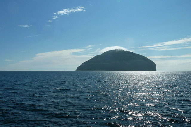
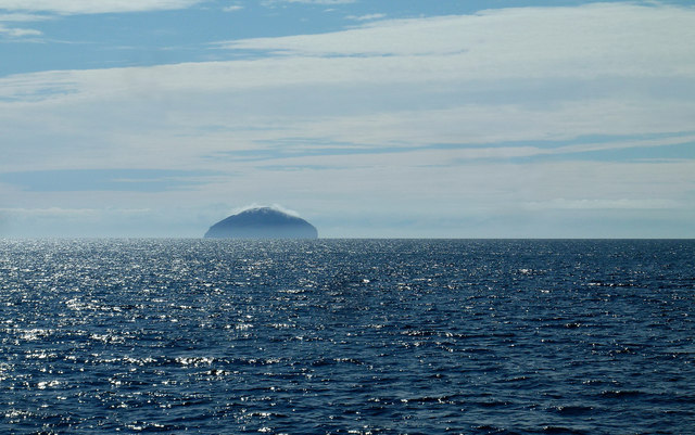
Ashwaun, located in Ayrshire, is a prominent coastal feature known for its stunning headland and point. Situated along the Western coast of Scotland, Ashwaun offers breathtaking views of the surrounding landscape and the vast open sea.
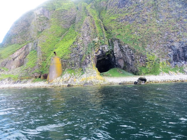
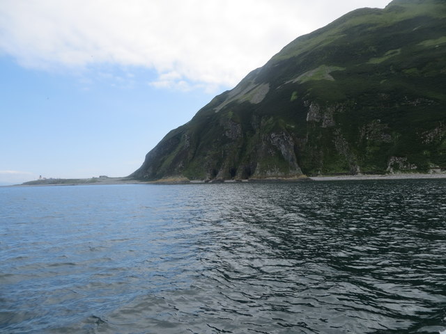
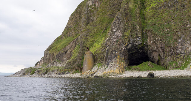
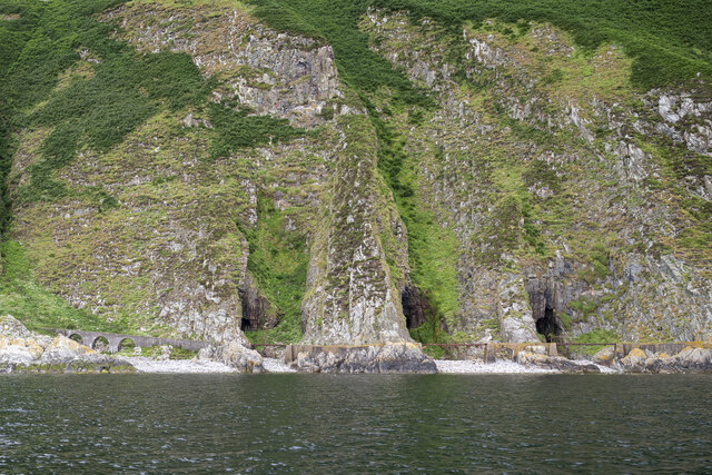
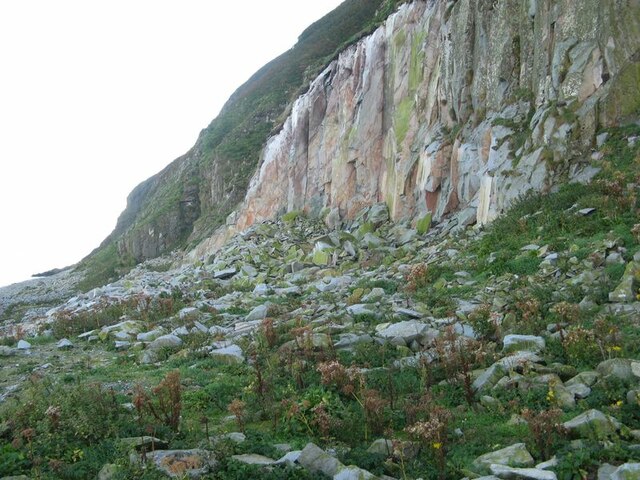
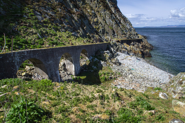
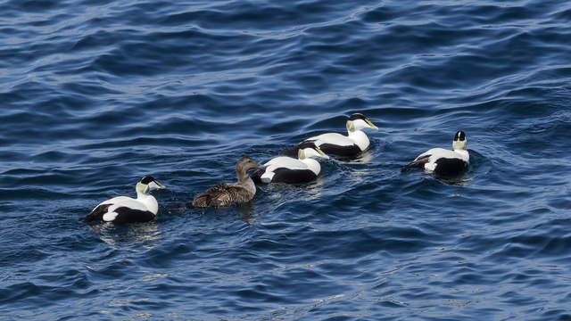
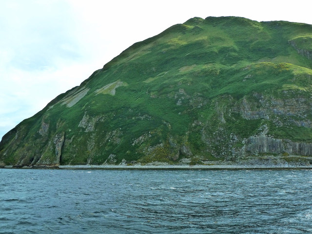
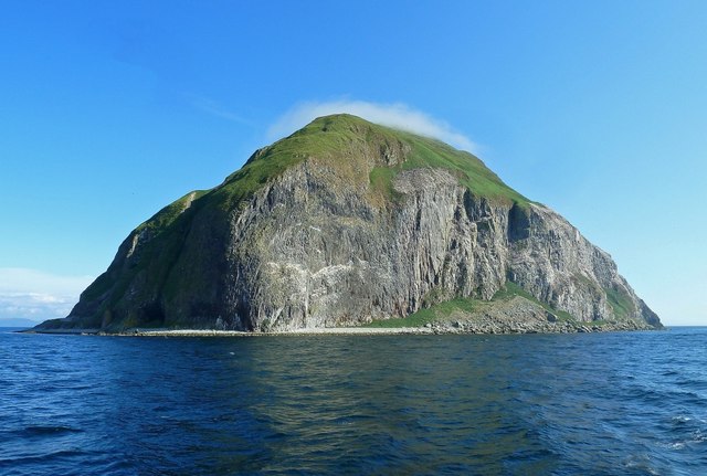
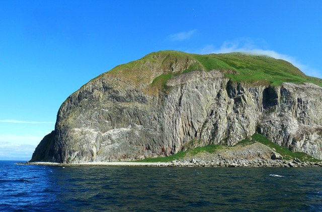
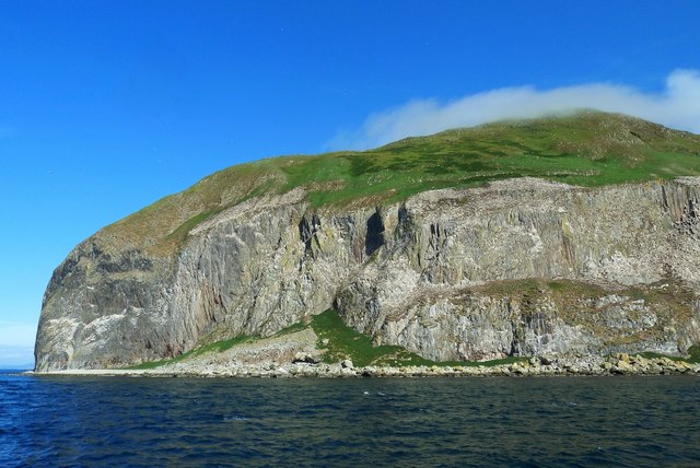
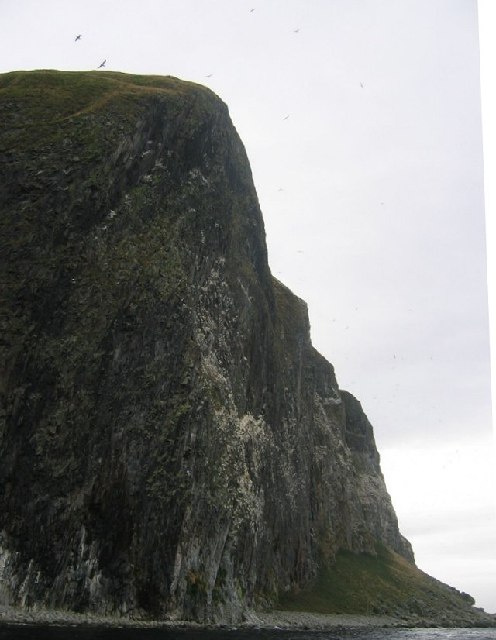
The headland at Ashwaun is characterized by its rocky cliffs, which rise majestically from the water. These cliffs provide a dramatic backdrop to the coastal scenery and offer a haven for various bird species, including gulls and cormorants. The rugged terrain adds to the charm of the area, attracting adventurers and nature enthusiasts alike.
At the tip of the headland, there is a point that extends further into the sea, offering an unparalleled vantage point for observing marine life and enjoying the panoramic views. The point is a popular spot for fishing, as the nutrient-rich waters attract a variety of fish species.
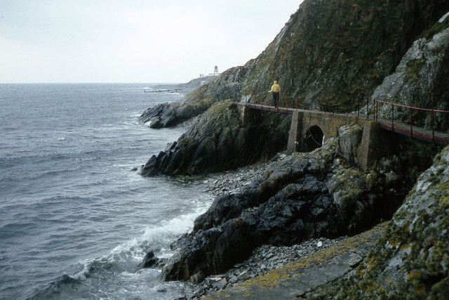
The coastal path at Ashwaun provides visitors with the opportunity to explore the area on foot. The path winds its way along the cliffs, offering stunning vistas at every turn. It is a perfect place for a leisurely stroll or a more challenging hike, catering to all levels of fitness.
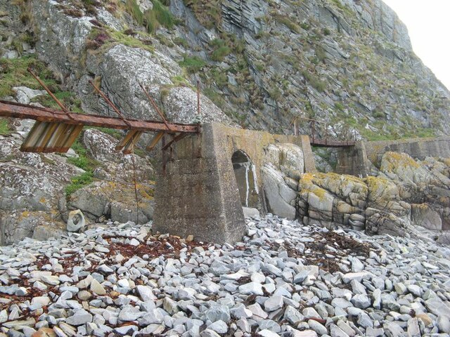
In addition to its natural beauty, Ashwaun is also steeped in history. The area has been inhabited for centuries, with evidence of ancient settlements and forts dotting the landscape. These historical sites add an extra layer of intrigue to the already captivating surroundings.
Overall, Ashwaun in Ayrshire is a coastal gem, offering a unique blend of natural beauty, adventure, and historical significance. It is a must-visit destination for anyone seeking to immerse themselves in Scotland's coastal wonders.
If you have any feedback on the listing, please let us know in the comments section below.
Ashwaun Images
Images are sourced within 2km of 55.249643/-5.1175423 or Grid Reference NX0199. Thanks to Geograph Open Source API. All images are credited.
Ashwaun is located at Grid Ref: NX0199 (Lat: 55.249643, Lng: -5.1175423)
Unitary Authority: South Ayrshire
Police Authority: Ayrshire
What 3 Words
///flukes.campers.lushly. Near Girvan, South Ayrshire
Nearby Locations
Related Wikis
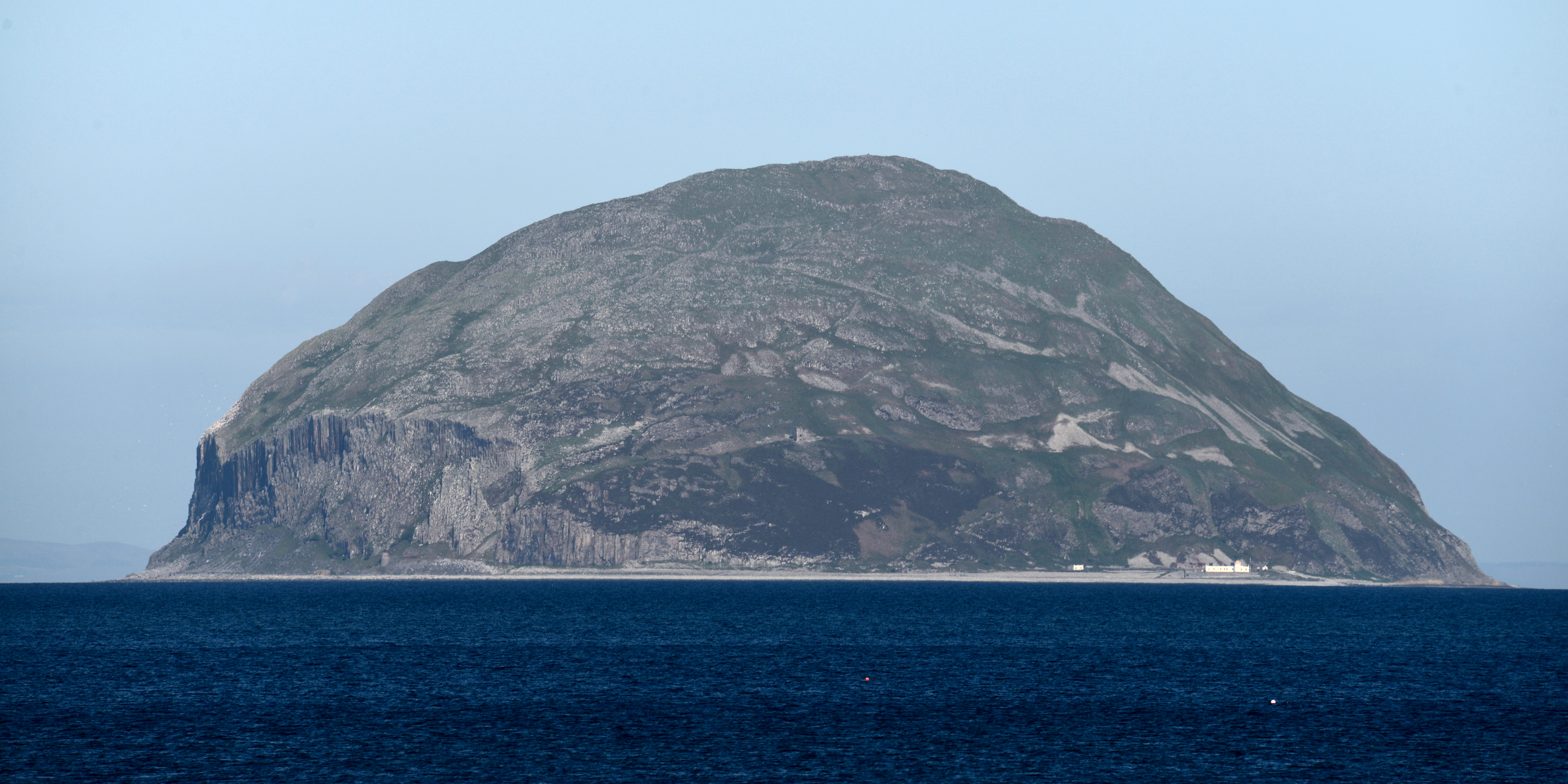
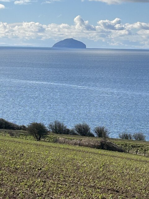
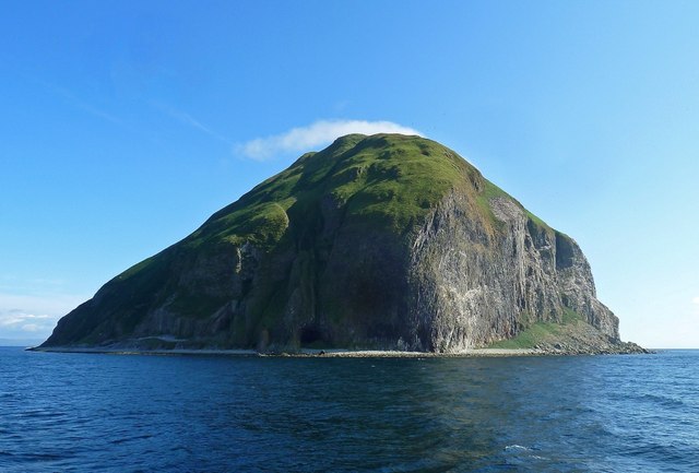
Ailsa Craig
Ailsa Craig (; Scots: Ailsae Craig; Scottish Gaelic: Creag Ealasaid) is an island of 99 ha (240 acres) in the outer Firth of Clyde, 16 km (8+1⁄2 nmi) west...

Ailsa Craig Lighthouse
The Ailsa Craig Lighthouse, is an active 19th century lighthouse located on Ailsa Craig, an island in the Firth of Clyde, just offshore from Girvan, South...
Nearby Amenities
Located within 500m of 55.249643,-5.1175423Have you been to Ashwaun?
Leave your review of Ashwaun below (or comments, questions and feedback).