Ashydoo Craig
Cliff, Slope in Ayrshire
Scotland
Ashydoo Craig
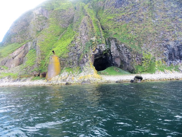
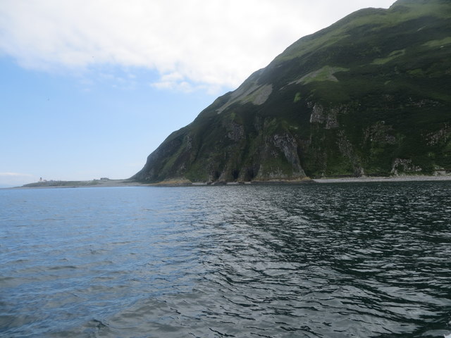
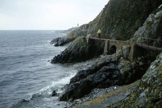
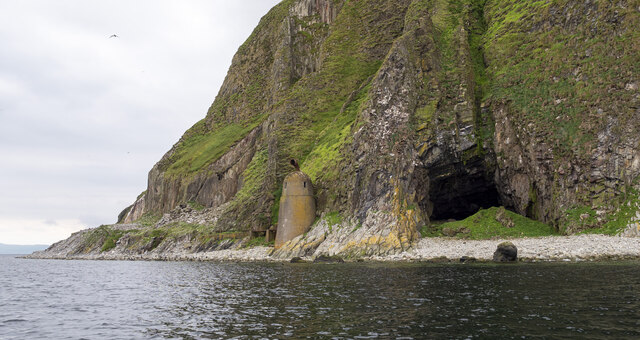
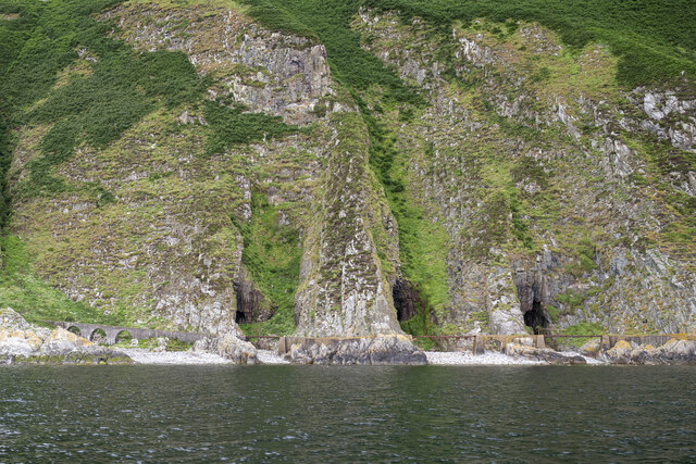
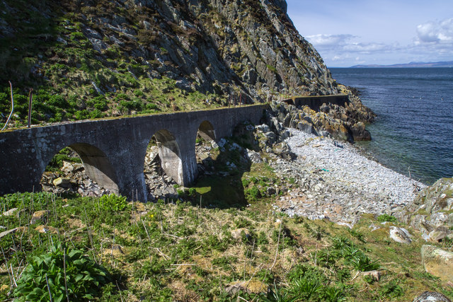
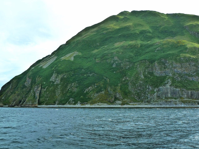
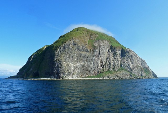
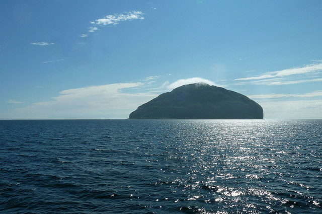
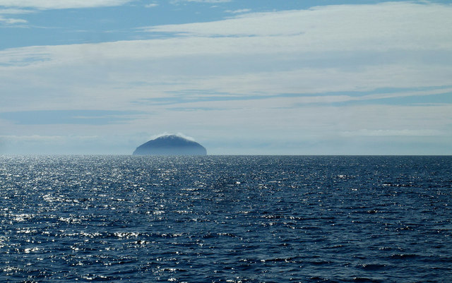
Ashydoo Craig is a prominent cliff located in Ayrshire, Scotland. Situated in a rural area, it is known for its picturesque views and natural beauty. The cliff, also referred to as Ashydoo Slope, is a popular destination for outdoor enthusiasts and nature lovers.
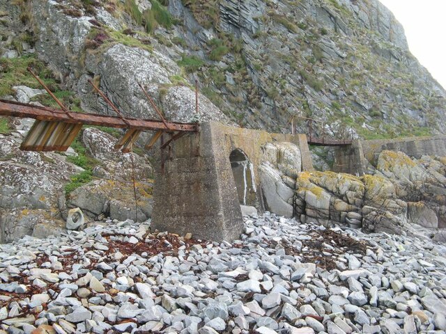
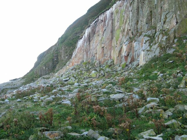
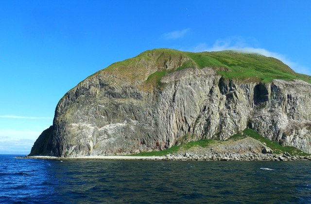
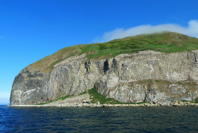
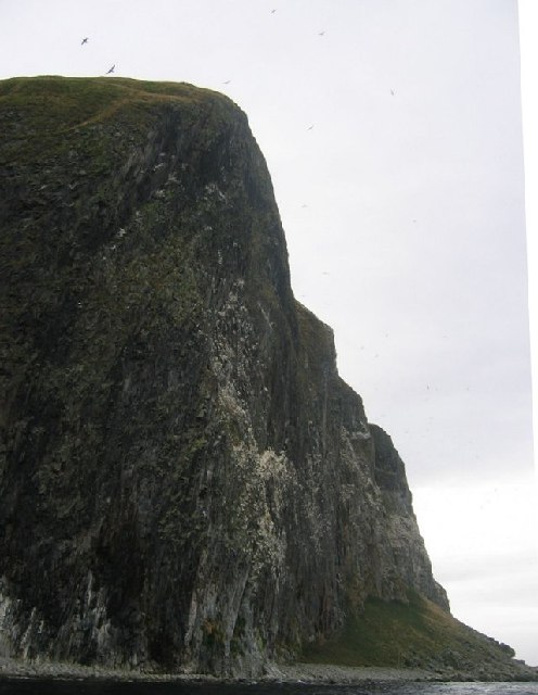
Rising to an impressive height, Ashydoo Craig offers stunning panoramic vistas of the surrounding landscape. The cliff is composed of rugged rock formations, primarily consisting of sandstone and shale. Over the years, erosion has sculpted the cliff face, creating unique patterns and crevices that add to its allure.
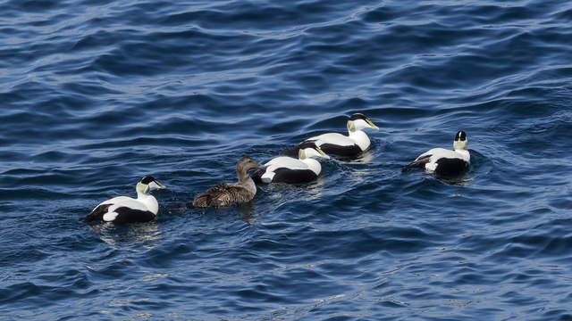
The area around Ashydoo Craig is rich in biodiversity, supporting a variety of plant and animal species. The cliff provides a suitable habitat for various bird species, including raptors such as peregrine falcons and kestrels. It is not uncommon to spot these majestic birds soaring through the skies above the cliff.
For adventure seekers, Ashydoo Craig offers opportunities for rock climbing and abseiling. Its challenging terrain and vertical drops attract climbers from near and far, who come to test their skills and enjoy the thrill of scaling the cliff.
In addition to its recreational and scenic value, Ashydoo Craig also holds historical significance. It is believed that the cliff has been a place of human activity for centuries, with evidence of ancient settlements and archaeological remains found in the vicinity.
Overall, Ashydoo Craig is a captivating natural landmark that offers a combination of stunning views, recreational activities, and historical intrigue. Whether it's for a leisurely hike, birdwatching, or an adrenaline-fueled climb, this cliff in Ayrshire is sure to leave visitors in awe of its beauty and natural wonders.
If you have any feedback on the listing, please let us know in the comments section below.
Ashydoo Craig Images
Images are sourced within 2km of 55.253302/-5.1228342 or Grid Reference NX0199. Thanks to Geograph Open Source API. All images are credited.
Ashydoo Craig is located at Grid Ref: NX0199 (Lat: 55.253302, Lng: -5.1228342)
Unitary Authority: South Ayrshire
Police Authority: Ayrshire
What 3 Words
///desktop.pesky.member. Near Girvan, South Ayrshire
Nearby Locations
Related Wikis
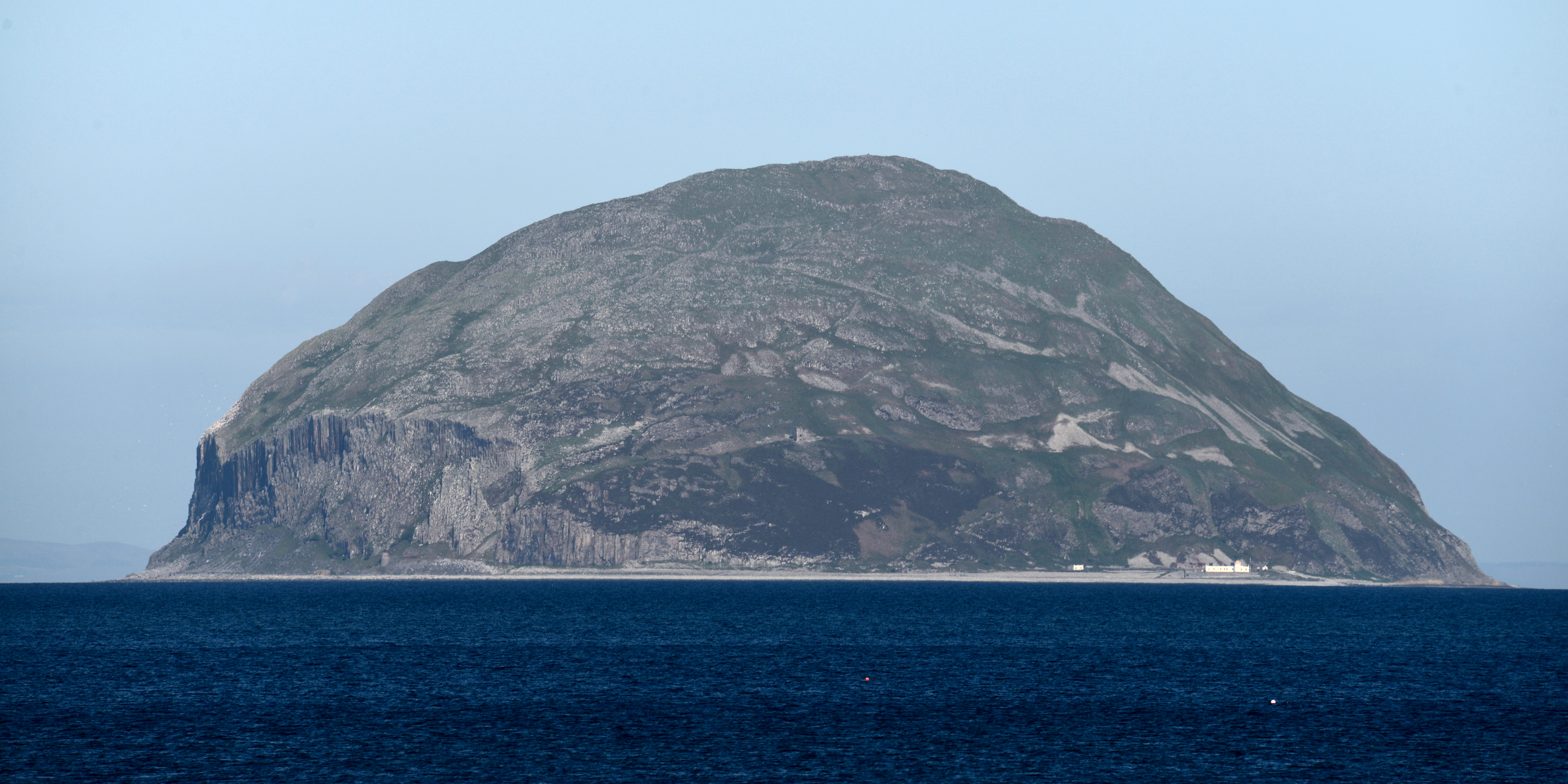
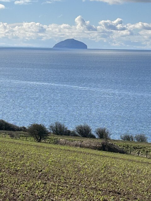
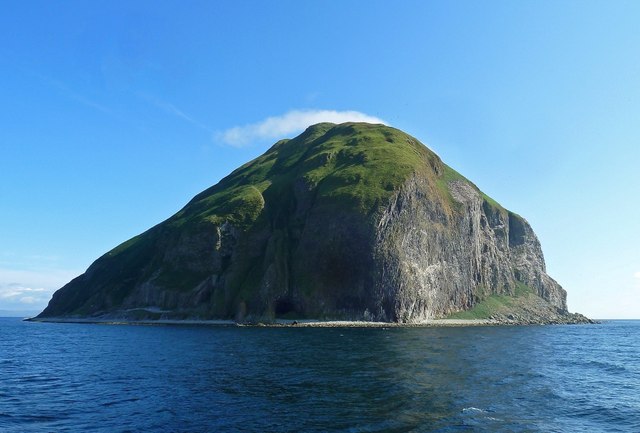
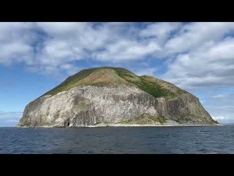
Ailsa Craig
Ailsa Craig (; Scots: Ailsae Craig; Scottish Gaelic: Creag Ealasaid) is an island of 99 ha (240 acres) in the outer Firth of Clyde, 16 km (8+1⁄2 nmi) west...

Ailsa Craig Lighthouse
The Ailsa Craig Lighthouse, is an active 19th century lighthouse located on Ailsa Craig, an island in the Firth of Clyde, just offshore from Girvan, South...
Related Videos
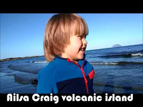
Alexander and Daddy's first ever holiday!!! Scotland's West coast near Glasgow (Part 1)
In September 2022 Alexander and his Daddy managed to have their first ever holiday away. We were very kindly invited to stay in ...
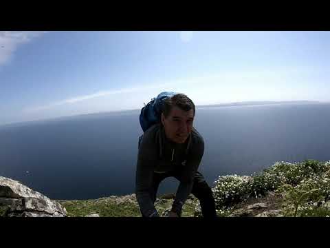
AILSA CRAIG
A HIKE TO THE TOP OF AILSA CRAIG (PADDYS MILESTONE)
Waverley’s first visit to Ailsa Craig in 2023
Waverley's first visit to Ailsa Craig in 2023 with history, wildlife and curling stone commentary. Monday 17th July 2023.
Nearby Amenities
Located within 500m of 55.253302,-5.1228342Have you been to Ashydoo Craig?
Leave your review of Ashydoo Craig below (or comments, questions and feedback).