Creag Ruadh

Cliff, Slope in Cromartyshire

Scotland

Creag Ruadh

Road passing Fisk Gallery, Polbain Looking south-eastward.
Road passing Fisk Gallery, Polbain Credit: Peter Wood

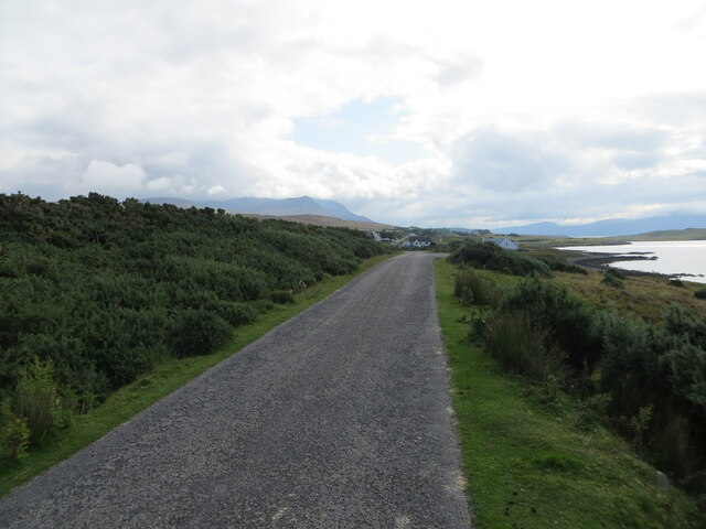
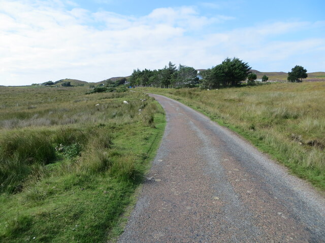
Creag Ruadh, located in Cromartyshire, is a prominent cliff and slope formation that showcases the natural beauty of the Scottish Highlands. Situated on the eastern coast of Scotland, this geographical wonder is a popular destination for nature enthusiasts and hikers alike.

Rising majestically from the North Sea, Creag Ruadh stands tall with its impressive height of approximately 300 feet. Its rugged and steep cliff face is composed of reddish sandstone, giving it its name, which translates to "red rock" in Gaelic. Over the years, erosion has shaped the cliff, creating intriguing formations and ledges that add to its allure.

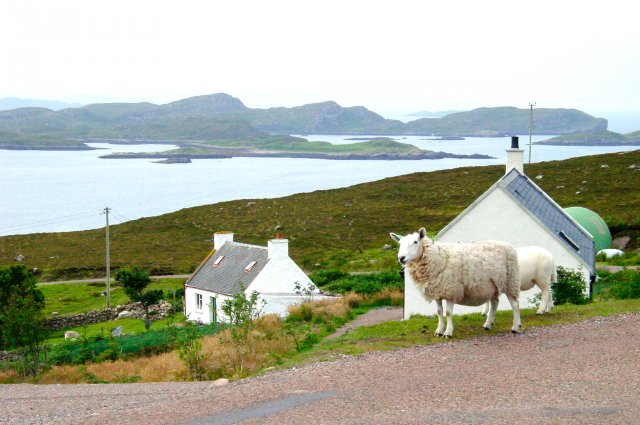
The cliff's unique geology attracts a diverse range of flora and fauna. Vegetation clings tenaciously to the rocky surfaces, including hardy grasses, mosses, and lichens. Sea birds such as gulls and fulmars can often be spotted nesting in the crevices, taking advantage of the cliff's inaccessible nature to protect their young.

For those seeking adventure, Creag Ruadh offers a challenging hiking experience. The cliff's steep slopes provide an adrenaline-inducing ascent, rewarding climbers with breathtaking panoramic views of the surrounding coastal landscape. The sight of the vast North Sea stretching out before you, with distant views of the Cromarty Firth and the Black Isle, is truly awe-inspiring.

It is important to note that caution should be exercised while exploring Creag Ruadh, as the cliff's edges can be precarious and unstable. Visitors are advised to follow designated trails and adhere to safety guidelines to ensure an enjoyable and risk-free experience.

Overall, Creag Ruadh stands as a testament to the raw beauty and power of nature, attracting visitors with its imposing presence, stunning views, and unique ecological diversity.

If you have any feedback on the listing, please let us know in the comments section below.
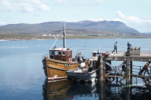
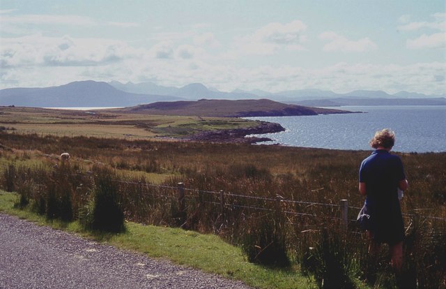
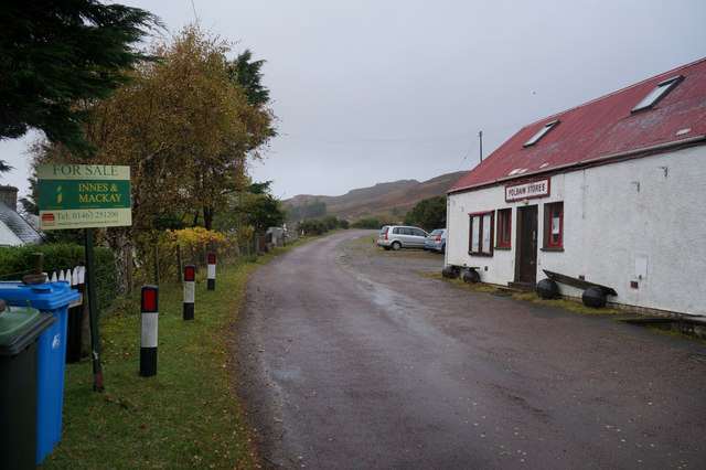
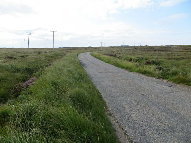
Creag Ruadh Images

Images are sourced within 2km of 58.028512/-5.3611075 or Grid Reference NC0109. Thanks to Geograph Open Source API. All images are credited.

Road passing Fisk Gallery, Polbain Looking south-eastward.
Road passing Fisk Gallery, Polbain
Looking south-eastward.
Polbain Beach and Pier
Achilibuie view We stayed in a caravan on a small croft in 1977 with our friends who had another caravan. Both families had two small children and we all enjoyed superb weather for the two weeks we stayed here.
Achilibuie view
We stayed in a caravan on a small croft in 1977 with our friends who had another caravan. Both families had two small children and we all enjoyed superb weather for the two weeks we stayed here.
Badentarbat Bay, Achiltibuie
Boats on the beach near Badentarbat Pier
'MV Hectoria' at Badentarbet Pier, Achiltibuie
Rough pastures at Achiltibuie
Polbain Store
Polbain Store
Polbain Stores, Polbain
Polbain at Polbain Stores
Minor road at Polbain Looking north-westward.
Minor road at Polbain
Looking north-westward.
Minor road crossing Fèith Ruadh Looking south-westward.
Minor road crossing Fèith Ruadh
Looking south-westward.
Minor road near to Glac an Eich Bhain Looking south-eastward towards Achiltibuie.
Minor road near to Glac an Eich Bhain
Looking south-eastward towards Achiltibuie.
Coigach Free Church, Achiltibuie Viewed from the west.
Coigach Free Church, Achiltibuie
Viewed from the west.
The road through Achiltibuie Looking north-westward.
The road through Achiltibuie
Looking north-westward.
Road between Polglass and Achiltibuie Looking north-westward.
Road between Polglass and Achiltibuie
Looking north-westward.
Minor road approaching Blair Looking north-westward.
Minor road approaching Blair
Looking north-westward.
Study of a Gasoline Station Achiltibuie Stores, Achiltibuie.

 This photograph is part of a series taken in homage to the American artist Ed Ruscha's 1963 publication of 'Twentysix Gasoline Stations'.
 More properly known as filling stations in the UK, I am attempting to photograph as many as possible to mark the sixty year anniversary.
Study of a Gasoline Station
Achiltibuie Stores, Achiltibuie. This photograph is part of a series taken in homage to the American artist Ed Ruscha's 1963 publication of 'Twentysix Gasoline Stations'. More properly known as filling stations in the UK, I am attempting to photograph as many as possible to mark the sixty year anniversary.
Show me another place!

Creag Ruadh is located at Grid Ref: NC0109 (Lat: 58.028512, Lng: -5.3611075)

Unitary Authority: Highland

Police Authority: Highlands and Islands

What 3 Words

///path.lasts.chiefs. Near Clachtoll, Highland

Related Wikis

Polbain

Polbain is a remote crofting township, located on the north Badentarbat Bay on the west coast of Scotland, in western Ross-shire, Scottish Highlands and...

Badentarbat Bay

Badentarbat Bay, or Badentarbet Bay, is a bay in northern Scotland. The village of Achiltibuie overlooks it. Marian Leven painted scenes of the bay....

Achiltibuie

Achiltibuie (; Scottish Gaelic: Achd Ille Bhuidhe or Field of the yellow-haired boy) is a long linear village in Ross and Cromarty, Highland, on the Coigach...

Coigach

Coigach (Scottish Gaelic: A' Chòigeach) is a peninsula north of Ullapool, in Wester Ross in the Northwest Highlands of Scotland. The area consists of a...

Nearby Amenities

Located within 500m of 58.028512,-5.3611075
Source: PGS
Lat/Long: 58.0307003/-5.367988
Source: PGS
Lat/Long: 58.0303352/-5.3671104
Source: PGS
Lat/Long: 58.0300985/-5.3664624
Source: PGS
Lat/Long: 58.0296983/-5.365663
Source: PGS
Lat/Long: 58.029413/-5.3650055
Source: PGS
Lat/Long: 58.028918/-5.3635678
Source: PGS
Lat/Long: 58.0283474/-5.3621024
Source: PGS
Lat/Long: 58.0281071/-5.3618464
Source: PGS
Lat/Long: 58.0278863/-5.3610086
Source: PGS
Lat/Long: 58.0271938/-5.3596705
Source: PGS
Lat/Long: 58.0260289/-5.3581073
Source: PGS
Lat/Long: 58.0262649/-5.3574415
Source: PGS
Lat/Long: 58.0258625/-5.3578421
Source: PGS
Lat/Long: 58.0251493/-5.3571446
Power: pole
Lat/Long: 58.0311963/-5.3586729
Power: pole
Lat/Long: 58.0309769/-5.3599176
Power: pole
Lat/Long: 58.0306205/-5.3612304
Toilets
Fee: no
Female: yes
Male: yes
Operator: Highland Council
Wheelchair: yes
Lat/Long: 58.030035/-5.361161
Historic: memorial
Memorial: war_memorial
Lat/Long: 58.0266991/-5.3562727
Power: pole
Lat/Long: 58.0270351/-5.3535524
Power: pole
Lat/Long: 58.0275195/-5.3545073
Power: pole
Lat/Long: 58.0283503/-5.356181
Power: pole
Lat/Long: 58.0288076/-5.3570634
Power: pole
Lat/Long: 58.0292209/-5.3578922
Power: pole
Lat/Long: 58.0296853/-5.3588498
Power: pole
Lat/Long: 58.0301802/-5.3598113
Power: pole
Lat/Long: 58.0306553/-5.3607595
Power: pole
Lat/Long: 58.0307999/-5.3608711
Power: pole
Lat/Long: 58.0310657/-5.3610273
Power: pole
Lat/Long: 58.0313911/-5.3619647
Power: pole
Lat/Long: 58.031733/-5.3629063
Power: pole
Lat/Long: 58.0320804/-5.363927
Power: pole
Lat/Long: 58.0324058/-5.3648936
The data included in this document is from www.openstreetmap.org. The data is made available under ODbL.

Have you been to Creag Ruadh?

Leave your review of Creag Ruadh below (or comments, questions and feedback).