Mòine Tomach

Downs, Moorland in Cromartyshire

Scotland

Mòine Tomach

Polbain Beach and Pier
Polbain Beach and Pier Credit: James Emmans

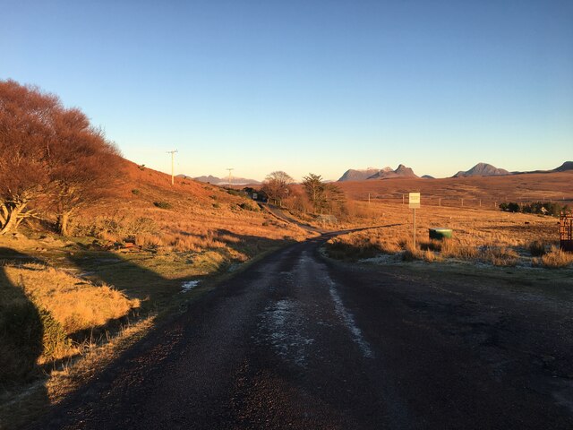
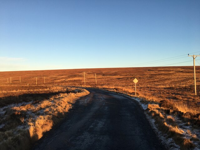
Mòine Tomach, located in Cromartyshire, is a captivating region characterized by its breathtaking downs and moorland. Spanning over a significant area, this diverse landscape showcases a wide range of natural features and provides a haven for various flora and fauna.

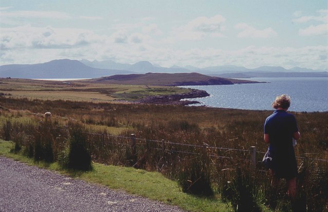
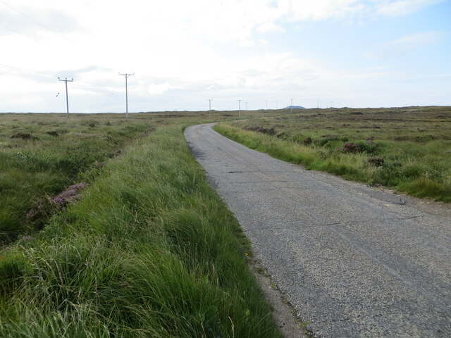
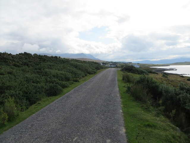
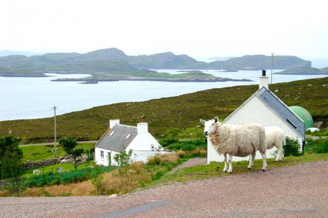
The downs in Mòine Tomach are rolling hills with gentle slopes that offer stunning panoramic views of the surrounding countryside. Covered with lush green grasses and dotted with wildflowers, these downs create a picturesque setting for visitors and locals alike. The moorland, on the other hand, presents a more rugged and wild terrain. With its heather-covered hills and peat bogs, the moorland is a unique ecosystem that supports a multitude of plant and animal species.

Mòine Tomach is home to an array of wildlife, including red deer, mountain hares, and a variety of bird species. Birdwatchers will delight in witnessing the soaring golden eagles and hearing the melodic calls of skylarks and curlews. The region's diverse habitats also attract a wide range of insects and small mammals, adding to its ecological richness.

In addition to its natural beauty, Mòine Tomach holds historical and archaeological significance. Ancient stone circles, burial cairns, and remnants of settlements can be found scattered throughout the landscape, offering a glimpse into the region's past.

Whether it's exploring the downs, traversing the moorland, or immersing oneself in the rich history, Mòine Tomach in Cromartyshire promises an enriching experience for nature lovers and history enthusiasts alike.

If you have any feedback on the listing, please let us know in the comments section below.
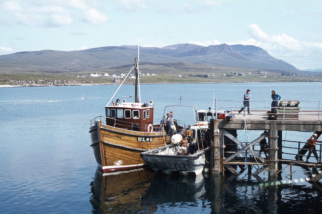
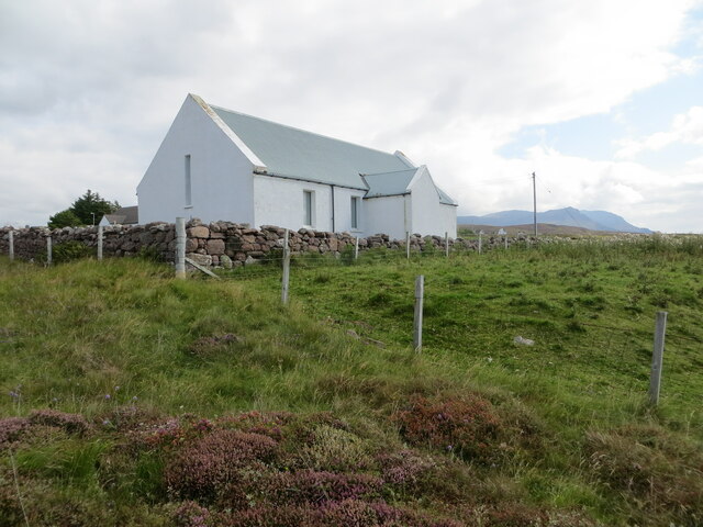
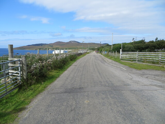
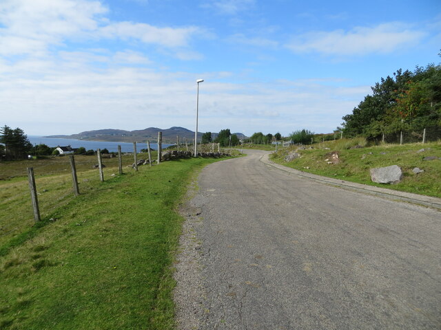
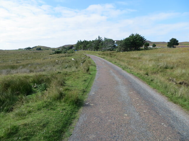
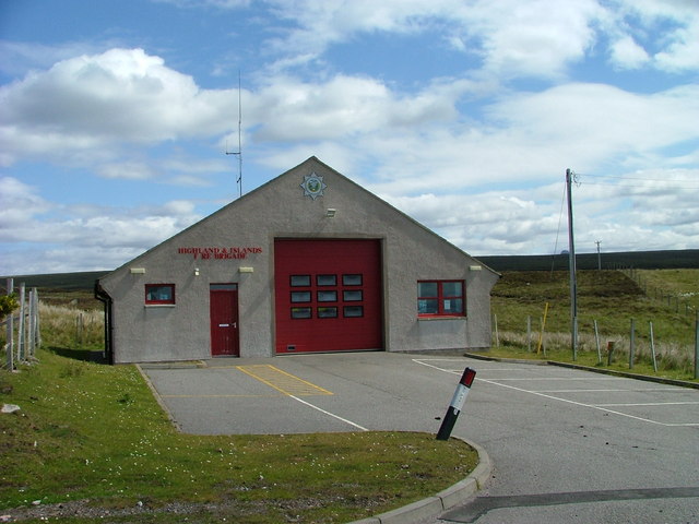
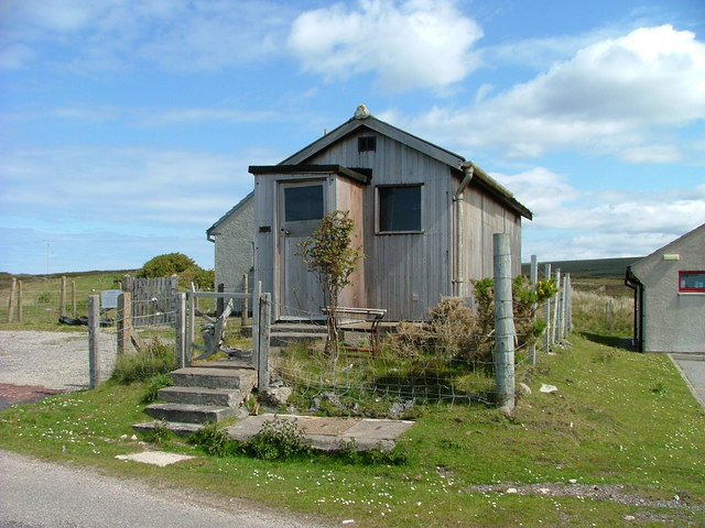
Mòine Tomach Images

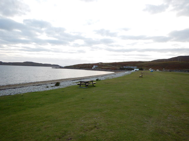
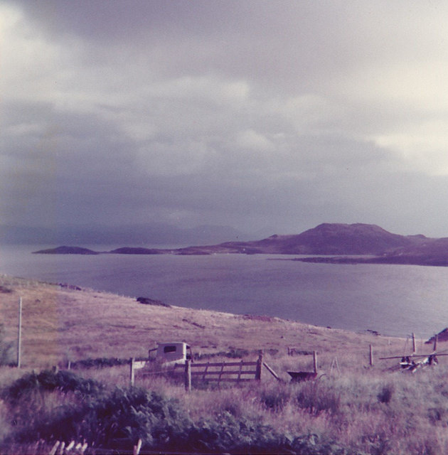
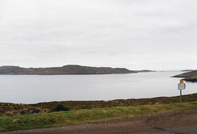
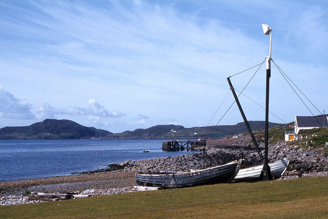
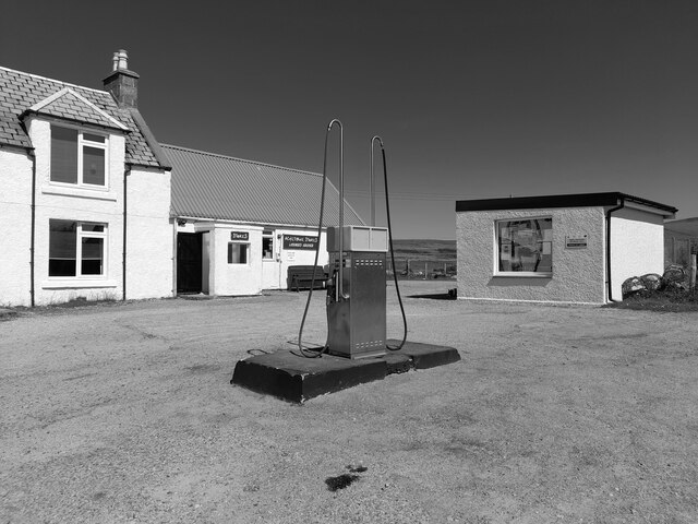
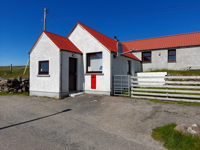
Images are sourced within 2km of 58.030029/-5.3557431 or Grid Reference NC0109. Thanks to Geograph Open Source API. All images are credited.

Polbain Beach and Pier
Achilibuie view We stayed in a caravan on a small croft in 1977 with our friends who had another caravan. Both families had two small children and we all enjoyed superb weather for the two weeks we stayed here.
Achilibuie view
We stayed in a caravan on a small croft in 1977 with our friends who had another caravan. Both families had two small children and we all enjoyed superb weather for the two weeks we stayed here.
Badentarbat Bay, Achiltibuie
Boats on the beach near Badentarbat Pier
'MV Hectoria' at Badentarbet Pier, Achiltibuie
Rough pastures at Achiltibuie
Minor road crossing Fèith Ruadh Looking south-westward.
Minor road crossing Fèith Ruadh
Looking south-westward.
Minor road near to Glac an Eich Bhain Looking south-eastward towards Achiltibuie.
Minor road near to Glac an Eich Bhain
Looking south-eastward towards Achiltibuie.
Coigach Free Church, Achiltibuie Viewed from the west.
Coigach Free Church, Achiltibuie
Viewed from the west.
The road through Achiltibuie Looking north-westward.
The road through Achiltibuie
Looking north-westward.
Road between Polglass and Achiltibuie Looking north-westward.
Road between Polglass and Achiltibuie
Looking north-westward.
Minor road approaching Blair Looking north-westward.
Minor road approaching Blair
Looking north-westward.
Study of a Gasoline Station Achiltibuie Stores, Achiltibuie.

 This photograph is part of a series taken in homage to the American artist Ed Ruscha's 1963 publication of 'Twentysix Gasoline Stations'.
 More properly known as filling stations in the UK, I am attempting to photograph as many as possible to mark the sixty year anniversary.
Study of a Gasoline Station
Achiltibuie Stores, Achiltibuie. This photograph is part of a series taken in homage to the American artist Ed Ruscha's 1963 publication of 'Twentysix Gasoline Stations'. More properly known as filling stations in the UK, I am attempting to photograph as many as possible to mark the sixty year anniversary.
Post Office, Achiltibuie Taken on a glorious day showing off the divine colour of that roof!
Post Office, Achiltibuie
Taken on a glorious day showing off the divine colour of that roof!
Minor road near Polbain
Minor road near Achiltibuie
Achiltibuie Fire Station
Former telephone exchange The exchange was bought by a local wood turner who uses the building for storage. The new exchange is behind and to the left.
Former telephone exchange
The exchange was bought by a local wood turner who uses the building for storage. The new exchange is behind and to the left.
Show me another place!

Mòine Tomach is located at Grid Ref: NC0109 (Lat: 58.030029, Lng: -5.3557431)

Unitary Authority: Highland

Police Authority: Highlands and Islands

What 3 Words

///nursery.earmarked.husky. Near Clachtoll, Highland

Related Wikis

Polbain

Polbain is a remote crofting township, located on the north Badentarbat Bay on the west coast of Scotland, in western Ross-shire, Scottish Highlands and...

Badentarbat Bay

Badentarbat Bay, or Badentarbet Bay, is a bay in northern Scotland. The village of Achiltibuie overlooks it. Marian Leven painted scenes of the bay....

Achiltibuie

Achiltibuie (; Scottish Gaelic: Achd Ille Bhuidhe or Field of the yellow-haired boy) is a long linear village in Ross and Cromarty, Highland, on the Coigach...

Coigach

Coigach (Scottish Gaelic: A' Chòigeach) is a peninsula north of Ullapool, in Wester Ross in the Northwest Highlands of Scotland. The area consists of a...

Nearby Amenities

Located within 500m of 58.030029,-5.3557431
Source: PGS
Lat/Long: 58.028918/-5.3635678
Source: PGS
Lat/Long: 58.0283474/-5.3621024
Source: PGS
Lat/Long: 58.0281071/-5.3618464
Source: PGS
Lat/Long: 58.0278863/-5.3610086
Source: PGS
Lat/Long: 58.0271938/-5.3596705
Source: PGS
Lat/Long: 58.0260289/-5.3581073
Source: PGS
Lat/Long: 58.0262649/-5.3574415
Source: PGS
Lat/Long: 58.0258625/-5.3578421
Power: pole
Lat/Long: 58.0336914/-5.3532594
Power: pole
Lat/Long: 58.0327868/-5.3552223
Power: pole
Lat/Long: 58.0311963/-5.3586729
Power: pole
Lat/Long: 58.0309769/-5.3599176
Power: pole
Lat/Long: 58.0306205/-5.3612304
Fuel
Fuel Diesel: yes
Fuel Octane 95: yes
Lat/Long: 58.025801/-5.3533213
Toilets
Fee: no
Female: yes
Male: yes
Operator: Highland Council
Wheelchair: yes
Lat/Long: 58.030035/-5.361161
Historic: memorial
Memorial: war_memorial
Lat/Long: 58.0266991/-5.3562727
Power: pole
Lat/Long: 58.0260466/-5.3519753
Power: pole
Lat/Long: 58.0265721/-5.3528202
Power: pole
Lat/Long: 58.0270351/-5.3535524
Power: pole
Lat/Long: 58.0275195/-5.3545073
Power: pole
Lat/Long: 58.0283503/-5.356181
Power: pole
Lat/Long: 58.0288076/-5.3570634
Power: pole
Lat/Long: 58.0292209/-5.3578922
Power: pole
Lat/Long: 58.0296853/-5.3588498
Power: pole
Lat/Long: 58.0301802/-5.3598113
Power: pole
Lat/Long: 58.0306553/-5.3607595
Power: pole
Lat/Long: 58.0307999/-5.3608711
Power: pole
Lat/Long: 58.0310657/-5.3610273
Power: pole
Lat/Long: 58.0313911/-5.3619647
Power: pole
Lat/Long: 58.031733/-5.3629063
The data included in this document is from www.openstreetmap.org. The data is made available under ODbL.

Have you been to Mòine Tomach?

Leave your review of Mòine Tomach below (or comments, questions and feedback).