Doire na Bà

Downs, Moorland in Ross-shire

Scotland

Doire na Bà

Transmitter above Glen Shiel
Transmitter above Glen Shiel Credit: Steven Brown

The requested URL returned error: 429 Too Many Requests

If you have any feedback on the listing, please let us know in the comments section below.
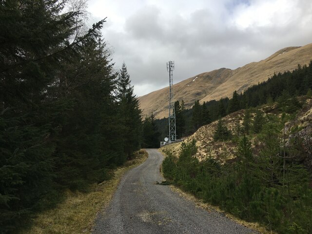
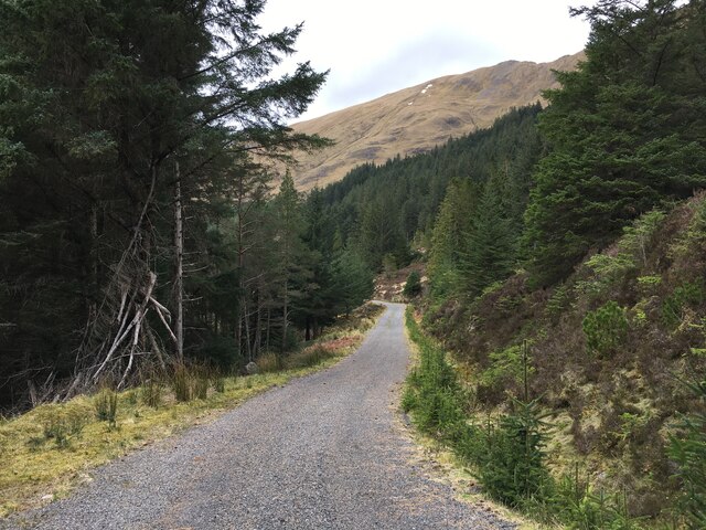
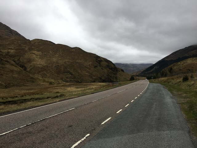
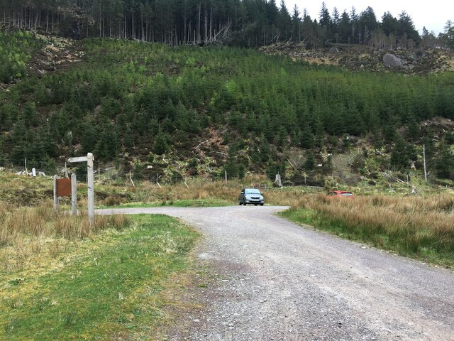
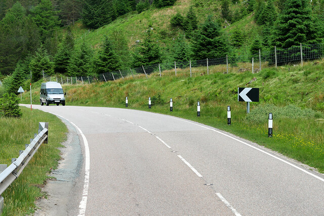
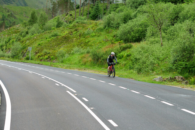
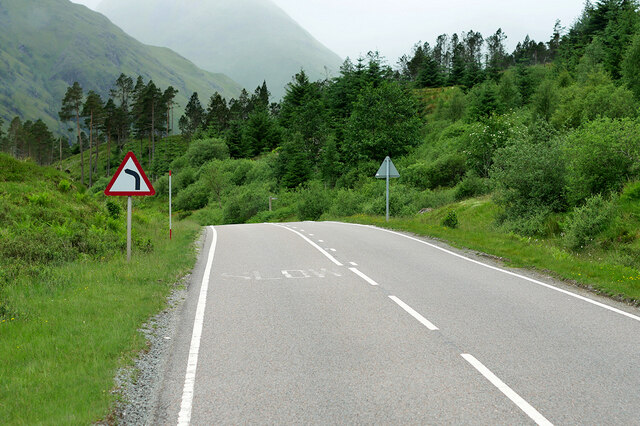
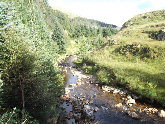
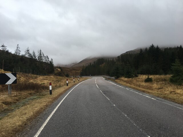
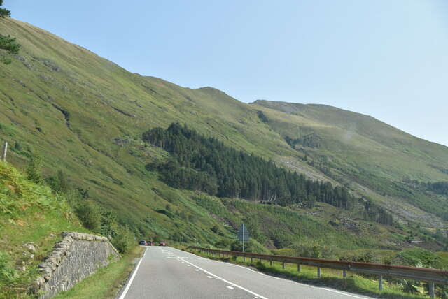
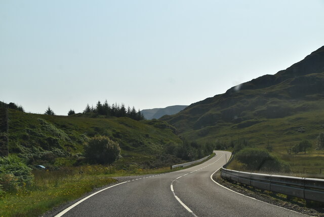
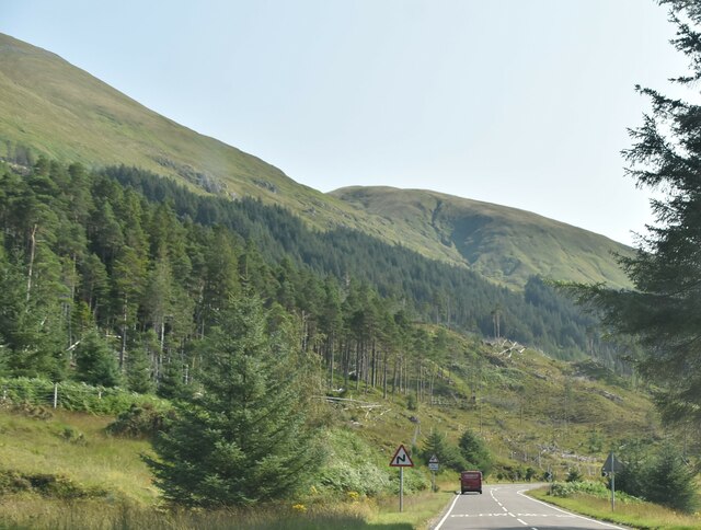
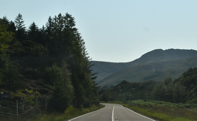
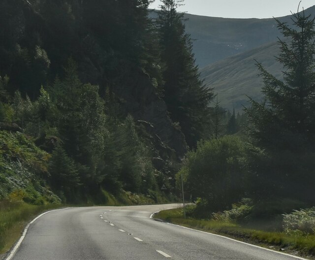
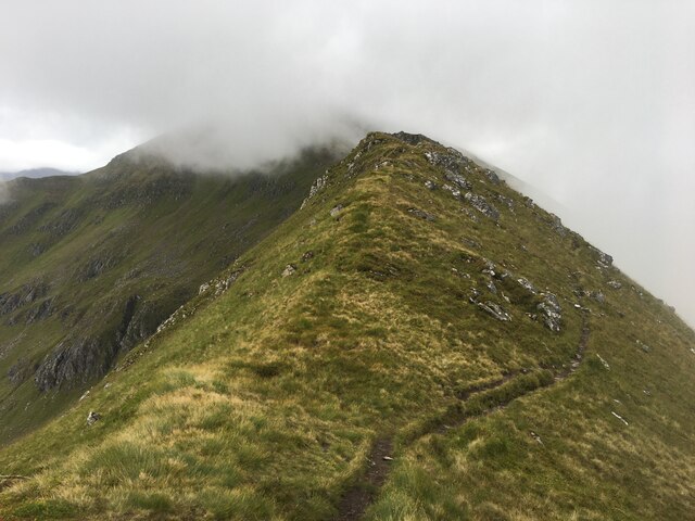
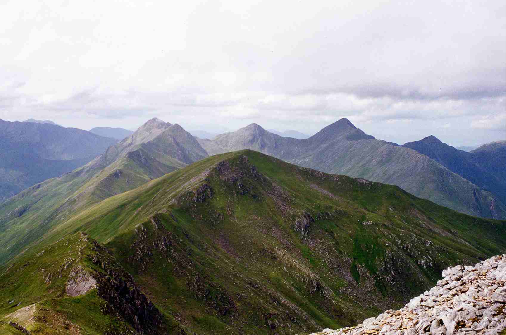
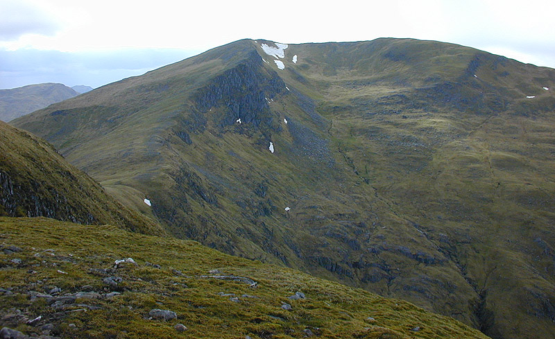
Doire na Bà Images

Images are sourced within 2km of 57.162032/-5.2806359 or Grid Reference NH0112. Thanks to Geograph Open Source API. All images are credited.

Transmitter above Glen Shiel
Forestry road, Glenshiel Forest
A87 in Glen Shiel
A87 in Glen Shiel
Parking area beside the A87 in Glen Shiel
Westbound A87 in Glen Shiel The A87 is a primary route  in the Highland region of Scotland. It runs west for 99 miles from its junction with the A82 at Invergarry, along the north shores of Loch Garry and Loch Cluanie, then through Glen Shiel and along Loch Duich to Kyle of Lochalsh before crossing the Skye Bridge to Kyleakin, Broadford, and Portree, before terminating at Uig in the north of the Isle of Skye.
Westbound A87 in Glen Shiel
The A87 is a primary route in the Highland region of Scotland. It runs west for 99 miles from its junction with the A82 at Invergarry, along the north shores of Loch Garry and Loch Cluanie, then through Glen Shiel and along Loch Duich to Kyle of Lochalsh before crossing the Skye Bridge to Kyleakin, Broadford, and Portree, before terminating at Uig in the north of the Isle of Skye.
Glen Shiel, The A87 The A87 Road to the Isles runs the full length of the glen.
Glen Shiel, The A87
The A87 Road to the Isles runs the full length of the glen.
A87 in Glen Shiel The A87 Road to the Isles runs the full length of the glen.
A87 in Glen Shiel
The A87 Road to the Isles runs the full length of the glen.
A87 Westbound in Glen Shiel
Cyclist on the A87 in Glen Shiel The A87 is a primary route  in the Highland region of Scotland. It runs west for 99 miles from its junction with the A82 at Invergarry, along the north shores of Loch Garry and Loch Cluanie, then through Glen Shiel and along Loch Duich to Kyle of Lochalsh before crossing the Skye Bridge to Kyleakin, Broadford, and Portree, before terminating at Uig in the north of the Isle of Skye.
Cyclist on the A87 in Glen Shiel
The A87 is a primary route in the Highland region of Scotland. It runs west for 99 miles from its junction with the A82 at Invergarry, along the north shores of Loch Garry and Loch Cluanie, then through Glen Shiel and along Loch Duich to Kyle of Lochalsh before crossing the Skye Bridge to Kyleakin, Broadford, and Portree, before terminating at Uig in the north of the Isle of Skye.
A87 in Glen Shiel The A87 is a primary route  in the Highland region of Scotland. It runs west for 99 miles from its junction with the A82 at Invergarry, along the north shores of Loch Garry and Loch Cluanie, then through Glen Shiel and along Loch Duich to Kyle of Lochalsh before crossing the Skye Bridge to Kyleakin, Broadford, and Portree, before terminating at Uig in the north of the Isle of Skye.
A87 in Glen Shiel
The A87 is a primary route in the Highland region of Scotland. It runs west for 99 miles from its junction with the A82 at Invergarry, along the north shores of Loch Garry and Loch Cluanie, then through Glen Shiel and along Loch Duich to Kyle of Lochalsh before crossing the Skye Bridge to Kyleakin, Broadford, and Portree, before terminating at Uig in the north of the Isle of Skye.
River Shiel
River Shiel
A87 in Glen Shiel
A87 in Glen Shiel
A87, Glen Shiel The A87 runs 99 miles from Invergarry to Uig on the Isle of Skye <a href="https://www.geograph.org.uk/photo/7374675">NG3863 : End of the A87, Uig</a>.
<span class="nowrap"><a title="https://www.sabre-roads.org.uk/wiki/index.php?title=A87" rel="nofollow ugc noopener" href="https://www.sabre-roads.org.uk/wiki/index.php?title=A87">Link</a><img style="margin-left:2px;" alt="External link" title="External link - shift click to open in new window" src="https://s1.geograph.org.uk/img/external.png" width="10" height="10"/></span>
A87, Glen Shiel
The A87 runs 99 miles from Invergarry to Uig on the Isle of Skye NG3863 : End of the A87, Uig. LinkExternal link
Path towards Sgurr a’ Bhealaich Dheirg
Show me another place!

Doire na Bà is located at Grid Ref: NH0112 (Lat: 57.162032, Lng: -5.2806359)

Unitary Authority: Highland

Police Authority: Highlands and Islands

What 3 Words

///jokers.intention.rummage. Near Glenelg, Highland

Nearby Locations

Doire na Bà

Related Wikis

Sàileag

Sàileag is Scottish mountain located on the northern side of Glen Shiel, 27 kilometres south east of Kyle of Lochalsh. == Overview == It lies just to the...

Sgùrr a' Bhealaich Dheirg

Sgùrr a' Bhealaich Dheirg (Scottish Gaelic for 'peak of the red gap') is a mountain in Kintail on the northern side of Glen Shiel in the Scottish Highlands...

Sgurr an Doire Leathain

Sgurr an Doire Lethain (1,010 m) is a mountain in the Northwest Highlands of Scotland. It is located south of Glen Shiel in the Kintail area. One of seven...

Aonach Meadhoin

Aonach Meadhoin is a Munro mountain situated in the Kintail region of Scotland. It stands on the northern side of Glen Shiel some 31 kilometres south east...

Nearby Amenities

Located within 500m of 57.162032,-5.2806359
Parking
Access: yes
Fee: no
Source: Bing
Lat/Long: 57.1662932/-5.2807385
The data included in this document is from www.openstreetmap.org. The data is made available under ODbL.

Have you been to Doire na Bà?

Leave your review of Doire na Bà below (or comments, questions and feedback).