Nettley Howe
Coastal Feature, Headland, Point in Ayrshire
Scotland
Nettley Howe
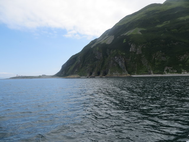
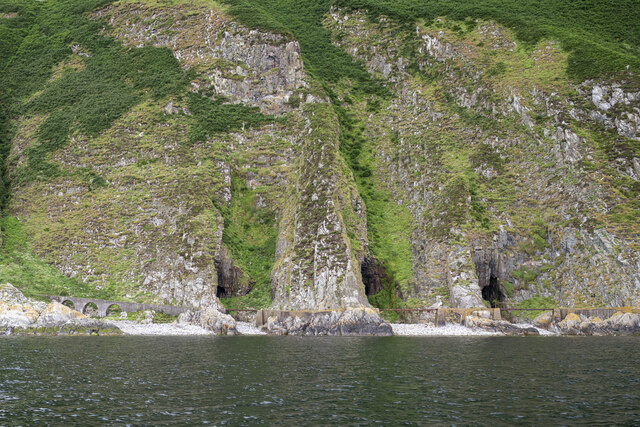
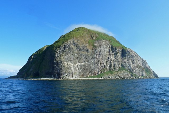
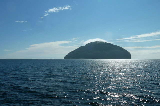
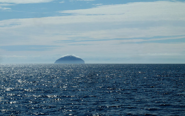
Nettley Howe is a prominent coastal feature located in Ayrshire, Scotland. It is a headland that juts out into the North Atlantic Ocean, forming a point that offers picturesque views and natural beauty.
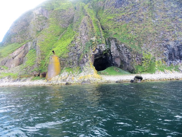
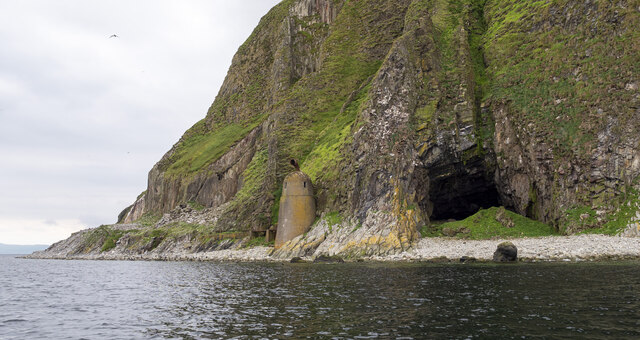
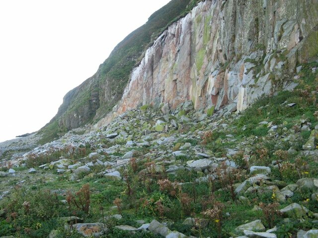
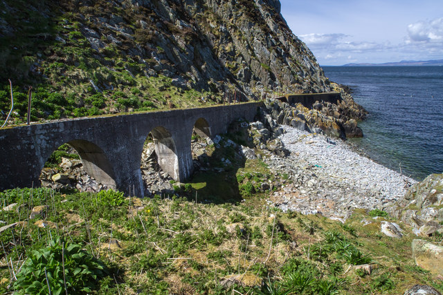
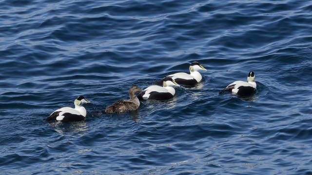
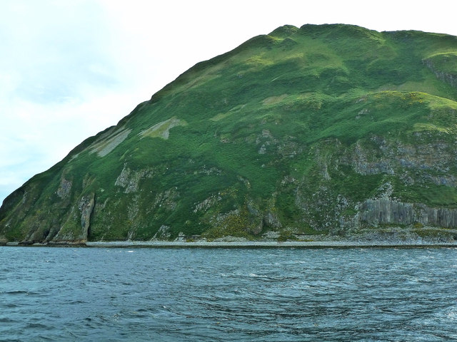
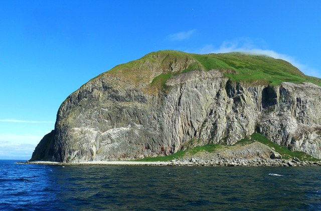
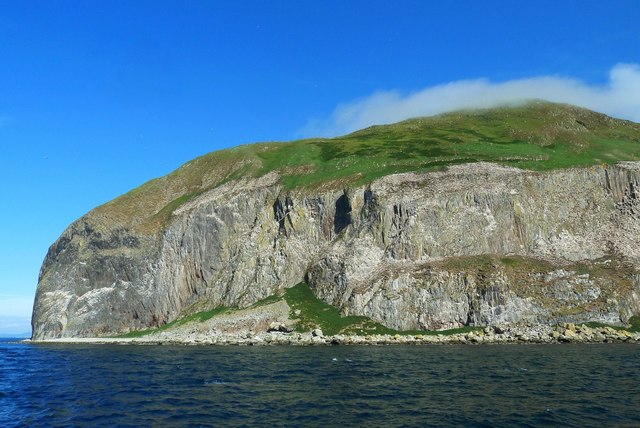
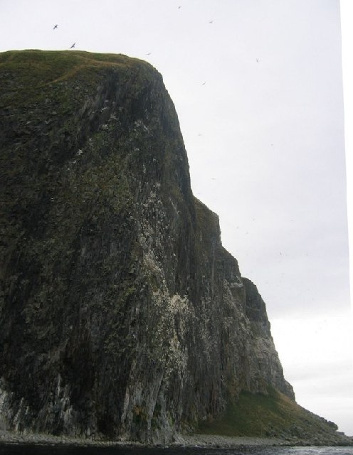
Situated on the western coast of Ayrshire, Nettley Howe is known for its rugged cliffs and rocky shoreline. The headland provides a vantage point to observe the powerful crashing waves and the dramatic interplay between the land and sea. The area is home to a diverse range of wildlife, including seabirds, seals, and occasionally dolphins.
Nettley Howe is a popular destination for outdoor enthusiasts and nature lovers. The headland offers opportunities for hiking and walking along its coastal trails, providing breathtaking views of the surrounding landscape. During low tide, visitors can explore the rock pools and discover an abundance of marine life.
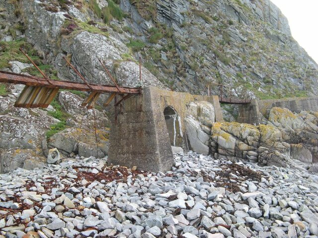
The headland is also significant from a geological standpoint. It features interesting rock formations that have been shaped by the forces of erosion and weathering over thousands of years. These formations provide insight into the region's geological history and contribute to its aesthetic appeal.
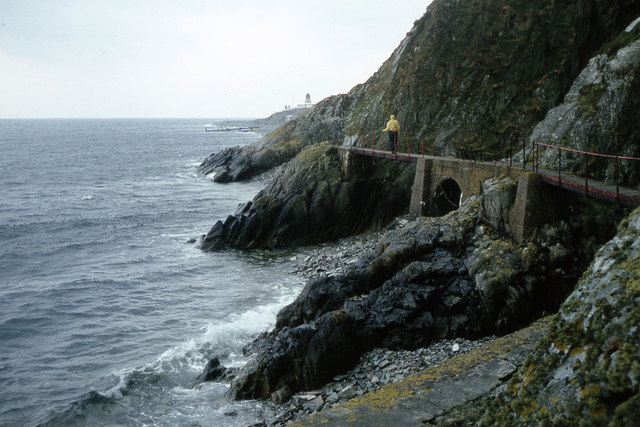
Access to Nettley Howe is relatively easy, with a well-maintained path leading from the nearby village. The headland is a perfect spot for picnics or simply to relax and take in the beauty of the Scottish coastline. Its tranquil atmosphere and natural charm make it an ideal destination for those seeking a peaceful escape or a place to reconnect with nature.
If you have any feedback on the listing, please let us know in the comments section below.
Nettley Howe Images
Images are sourced within 2km of 55.253522/-5.1187749 or Grid Reference NX0199. Thanks to Geograph Open Source API. All images are credited.
Nettley Howe is located at Grid Ref: NX0199 (Lat: 55.253522, Lng: -5.1187749)
Unitary Authority: South Ayrshire
Police Authority: Ayrshire
What 3 Words
///multiples.culminate.napkins. Near Girvan, South Ayrshire
Nearby Locations
Related Wikis
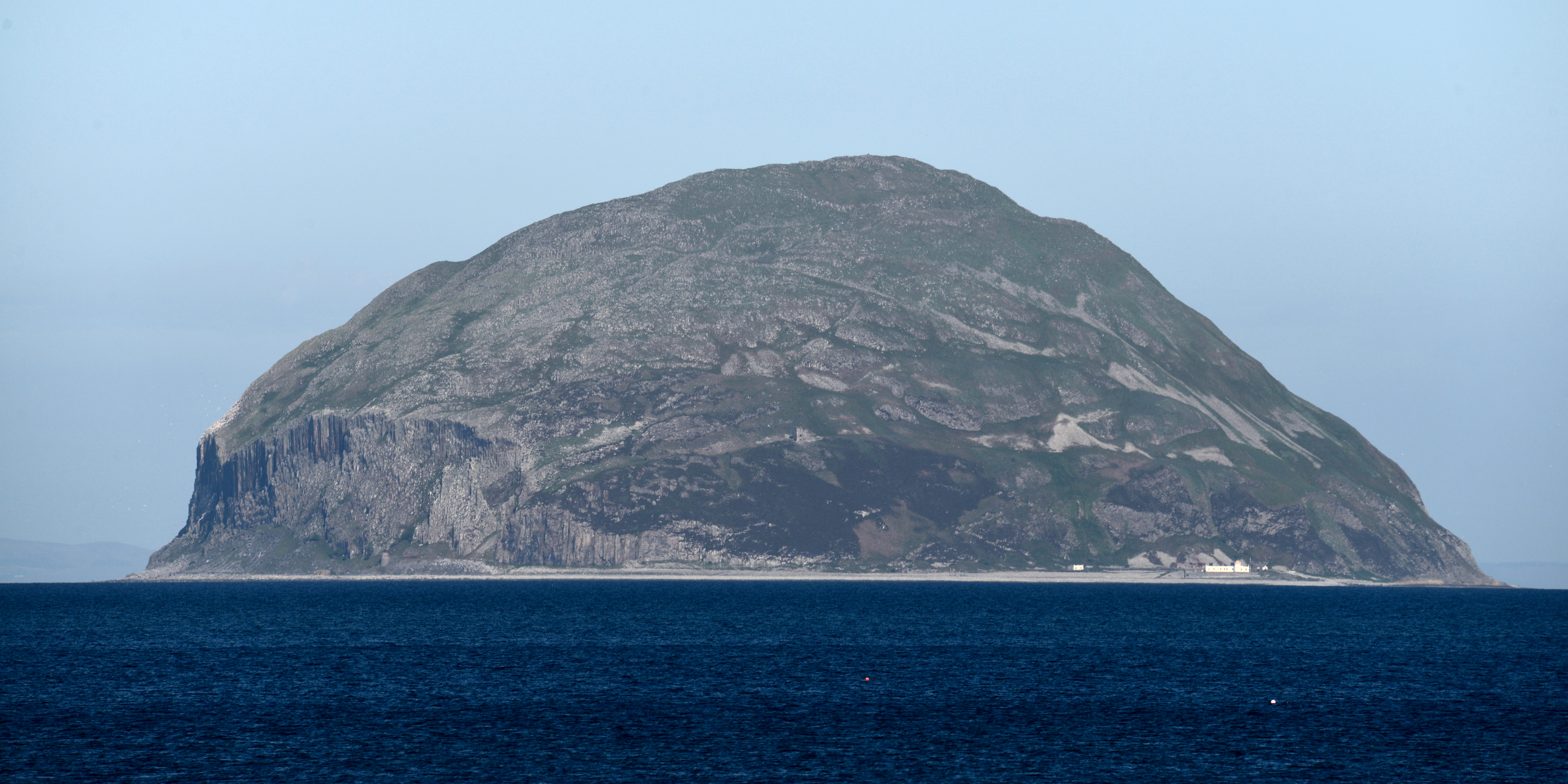
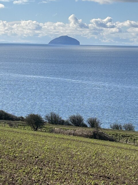
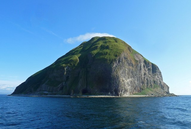
Ailsa Craig
Ailsa Craig (; Scots: Ailsae Craig; Scottish Gaelic: Creag Ealasaid) is an island of 99 ha (240 acres) in the outer Firth of Clyde, 16 km (8+1⁄2 nmi) west...

Ailsa Craig Lighthouse
The Ailsa Craig Lighthouse, is an active 19th century lighthouse located on Ailsa Craig, an island in the Firth of Clyde, just offshore from Girvan, South...
Nearby Amenities
Located within 500m of 55.253522,-5.1187749Have you been to Nettley Howe?
Leave your review of Nettley Howe below (or comments, questions and feedback).