Arrow Rock
Coastal Feature, Headland, Point in Cornwall
England
Arrow Rock
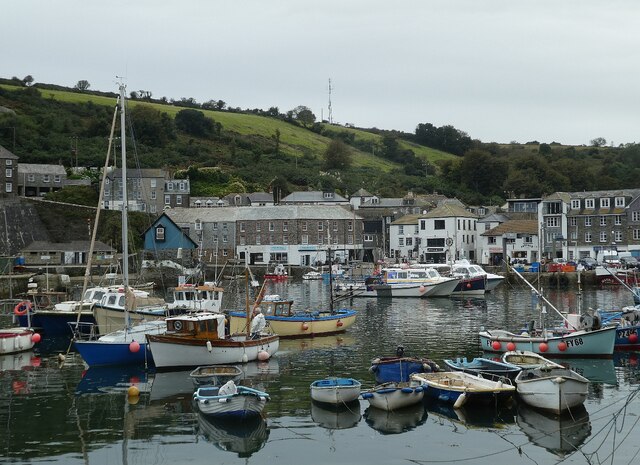
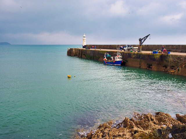
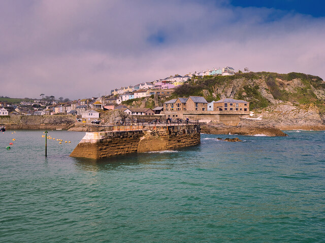
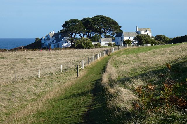
Arrow Rock is a prominent coastal feature located in Cornwall, England. It is a headland that juts out into the Atlantic Ocean, forming a distinct point along the rugged coastline. Situated near the village of Arrow, the rock is a popular tourist attraction and offers breathtaking views of the surrounding landscape.
The rock itself is composed of rugged granite and stands at an impressive height, towering above the crashing waves below. Its unique shape resembles an arrowhead, hence the name Arrow Rock. The natural erosion caused by the relentless ocean has sculpted the rock into intriguing formations, adding to its allure.
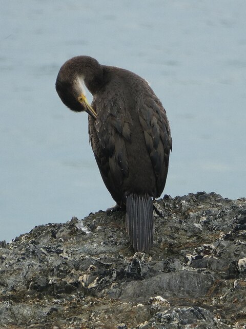
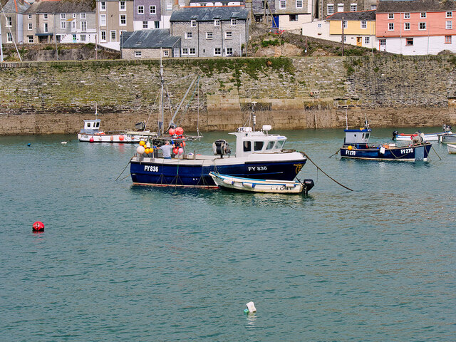
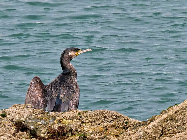
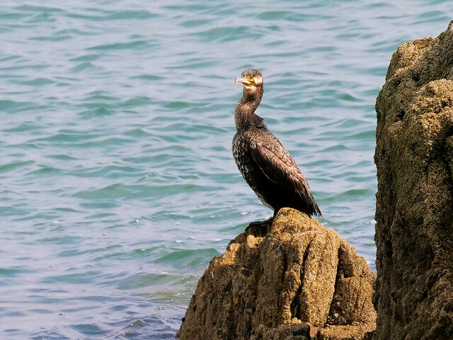
The headland is home to a diverse range of flora and fauna, creating a rich ecosystem. Seabirds such as gulls and cormorants can be seen perching on the cliffs, while seals and dolphins occasionally make appearances in the waters below. The surrounding waters are also known for their abundance of marine life, making it a popular spot for fishing enthusiasts.
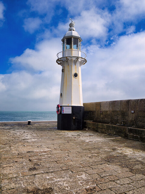
Arrow Rock is steeped in history and folklore. It is said to have been a navigation landmark for sailors centuries ago, guiding them safely along the treacherous coast. Today, it continues to serve as a navigational point for modern-day mariners.
Visitors to Arrow Rock can explore the area by foot, following scenic coastal paths that offer breathtaking views of the rugged coastline and the vast expanse of the Atlantic Ocean. The rock is also a popular spot for rock climbers, who are drawn to its challenging vertical faces.
Overall, Arrow Rock is a remarkable coastal feature that showcases the natural beauty and geological diversity of Cornwall's coastline. Its rugged charm, stunning views, and rich history make it a must-visit destination for nature lovers and outdoor enthusiasts.
If you have any feedback on the listing, please let us know in the comments section below.
Arrow Rock Images
Images are sourced within 2km of 50.267442/-4.7816064 or Grid Reference SX0144. Thanks to Geograph Open Source API. All images are credited.

Arrow Rock is located at Grid Ref: SX0144 (Lat: 50.267442, Lng: -4.7816064)
Unitary Authority: Cornwall
Police Authority: Devon and Cornwall
What 3 Words
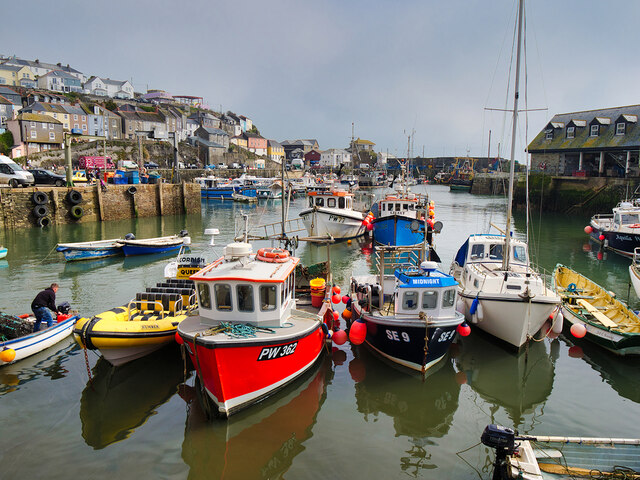
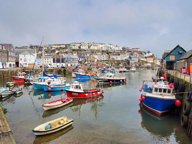
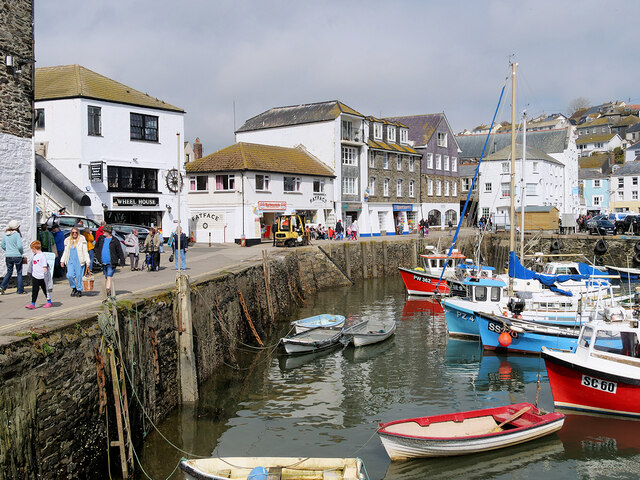
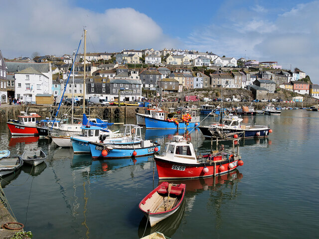
///raven.snake.recap. Near Mevagissey, Cornwall
Nearby Locations
Related Wikis
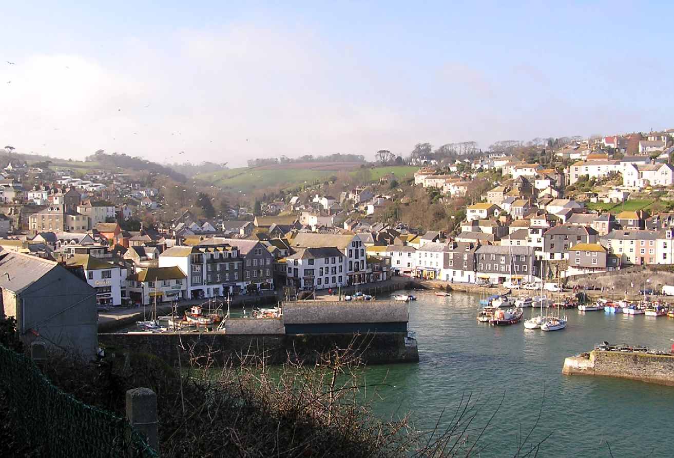
Mevagissey
Mevagissey (; Cornish: Lannvorek) is a village, fishing port and civil parish in Cornwall, England, United Kingdom. The village is situated approximately...

Portmellon
Portmellon (Cornish: Porthmelin) is a coastal settlement in south Cornwall, England, United Kingdom. It is one mile south of Mevagissey and six miles south...
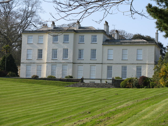
Heligan estate
The Heligan estate (; Cornish: Helygen, meaning willow tree) was the ancestral home of the Tremayne family near Mevagissey in Cornwall, England. Purchased...

Pentewan Valley
Pentewan Valley is one of four new civil parishes created on 1 April 2009 for the St Austell district of mid Cornwall, England, United Kingdom. The population...
Nearby Amenities
Located within 500m of 50.267442,-4.7816064Have you been to Arrow Rock?
Leave your review of Arrow Rock below (or comments, questions and feedback).