Benny Island
Island in Cornwall
England
Benny Island
Benny Island is a small island located off the coast of Cornwall, England. It is situated in the Celtic Sea, approximately 1.5 kilometers southwest of the mainland town of Marazion. The island covers an area of about 1.2 hectares and is surrounded by rocky shores and clear turquoise waters.
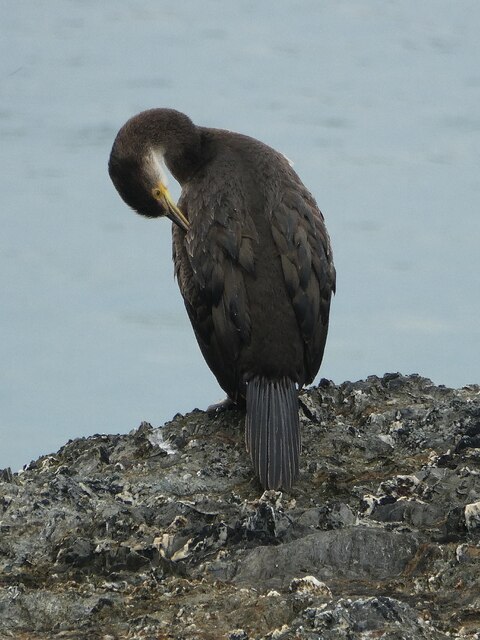
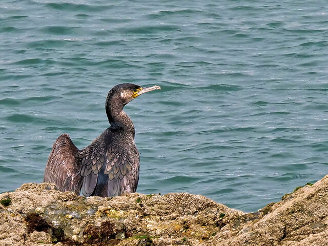
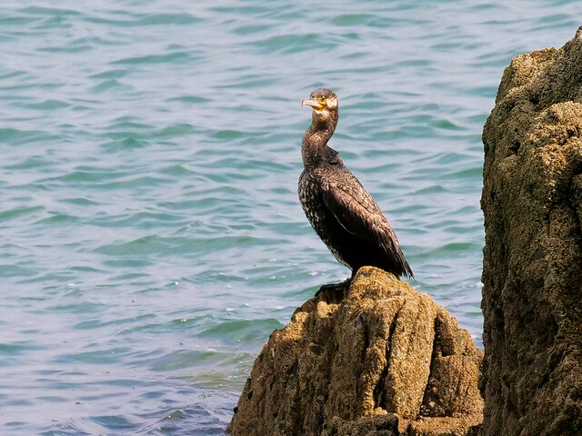
The island is known for its unique and diverse wildlife, making it a popular destination for nature enthusiasts. It is home to a variety of seabirds, including puffins, gulls, and cormorants, which can be observed nesting on the cliffs during breeding season. Additionally, the surrounding waters are teeming with marine life, such as seals, dolphins, and occasionally even basking sharks.
Access to Benny Island is limited, as it is only accessible by boat during low tide. The island's rocky terrain and lack of facilities make it unsuitable for overnight stays or long visits. However, it is often included as a stop on boat tours or birdwatching excursions, allowing visitors to catch a glimpse of its natural beauty.
Benny Island's rich history also adds to its allure. It is believed to have been inhabited since ancient times, with evidence of prehistoric settlements and burial grounds discovered on its shores. In more recent history, the island was used as a lookout point during World War II to monitor enemy movements in the English Channel.
Overall, Benny Island offers a unique and captivating experience for those seeking to explore Cornwall's natural wonders and delve into its rich past.
If you have any feedback on the listing, please let us know in the comments section below.
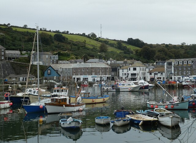
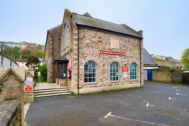
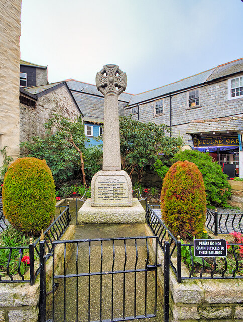
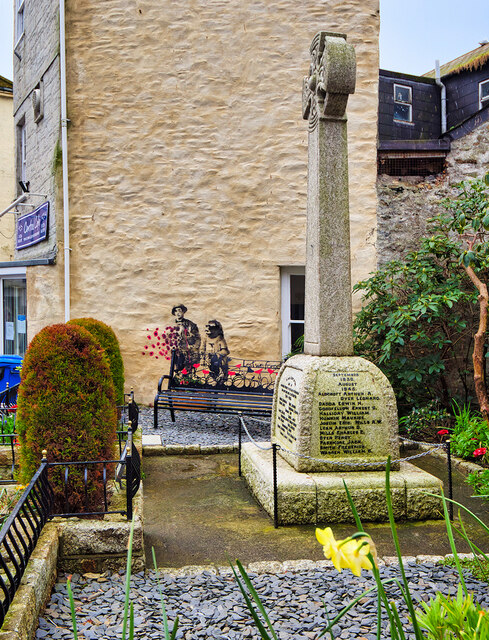
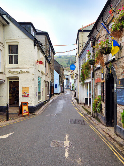
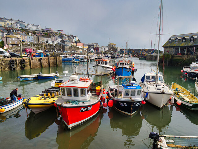
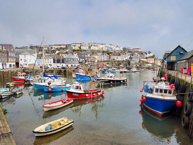
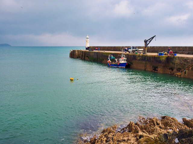
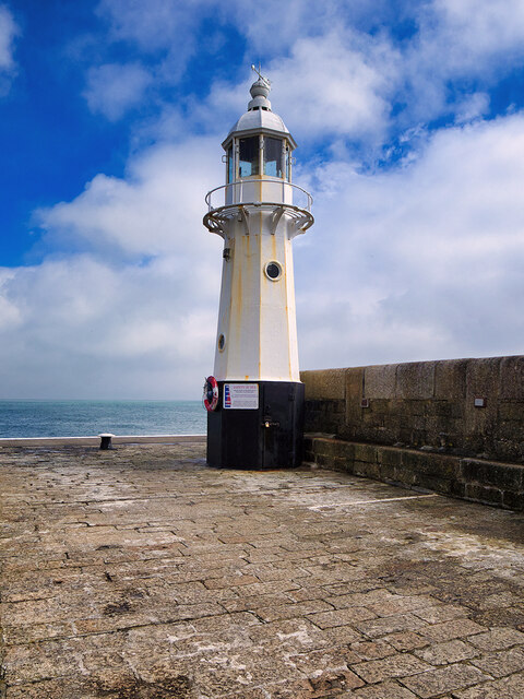
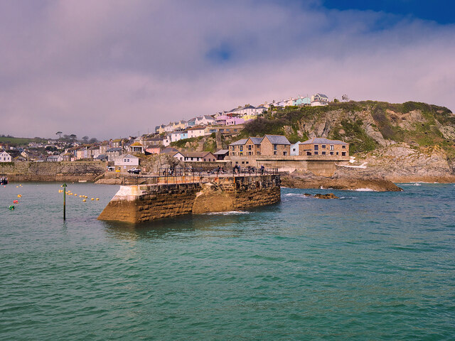
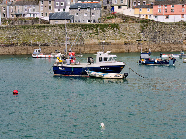
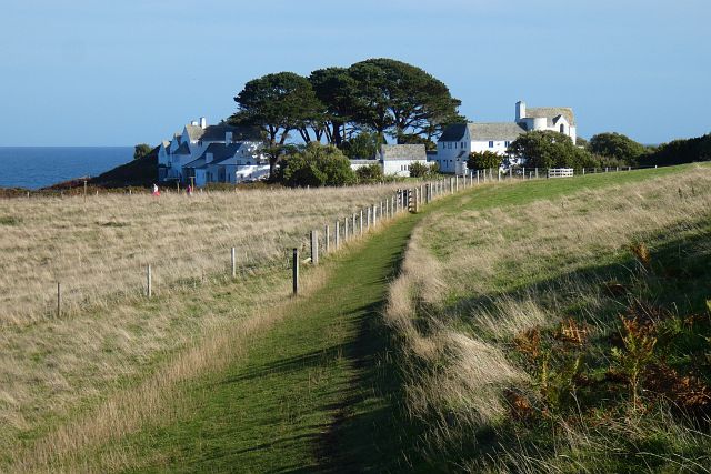
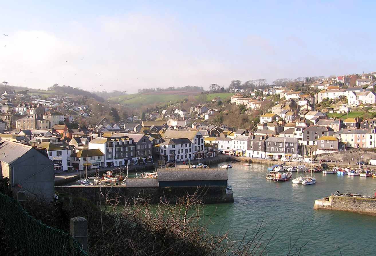
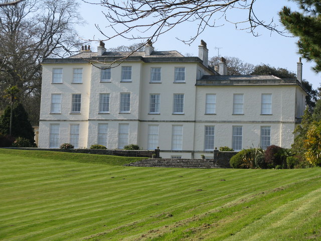
Benny Island Images
Images are sourced within 2km of 50.270788/-4.7831068 or Grid Reference SX0144. Thanks to Geograph Open Source API. All images are credited.

Benny Island is located at Grid Ref: SX0144 (Lat: 50.270788, Lng: -4.7831068)
Unitary Authority: Cornwall
Police Authority: Devon and Cornwall
What 3 Words
///normal.photocopy.results. Near Mevagissey, Cornwall
Nearby Locations
Related Wikis
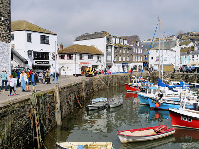
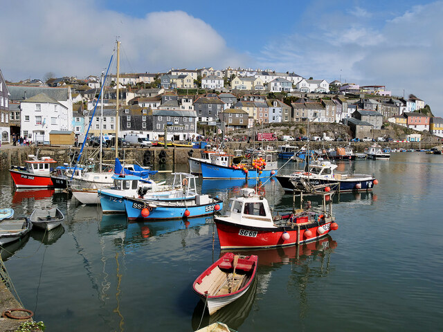
Mevagissey
Mevagissey (; Cornish: Lannvorek) is a village, fishing port and civil parish in Cornwall, England, United Kingdom. The village is situated approximately...

Portmellon
Portmellon (Cornish: Porthmelin) is a coastal settlement in south Cornwall, England, United Kingdom. It is one mile south of Mevagissey and six miles south...
Heligan estate
The Heligan estate (; Cornish: Helygen, meaning willow tree) was the ancestral home of the Tremayne family near Mevagissey in Cornwall, England. Purchased...

Pentewan Valley
Pentewan Valley is one of four new civil parishes created on 1 April 2009 for the St Austell district of mid Cornwall, England, United Kingdom. The population...
Nearby Amenities
Located within 500m of 50.270788,-4.7831068Have you been to Benny Island?
Leave your review of Benny Island below (or comments, questions and feedback).