Rotten Nick
Coastal Feature, Headland, Point in Ayrshire
Scotland
Rotten Nick
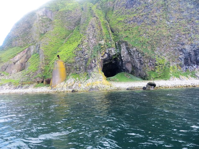
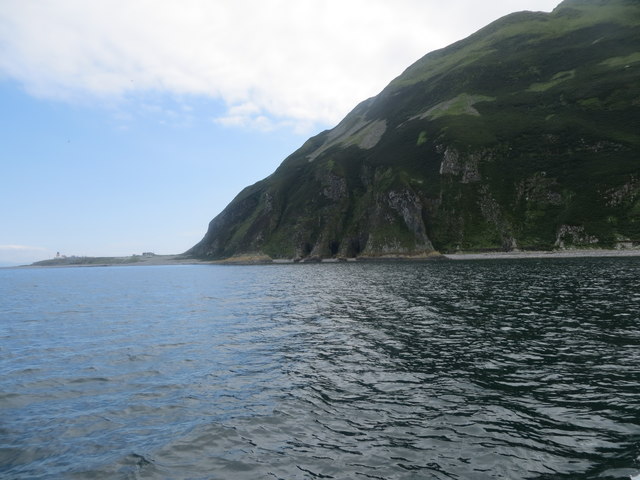
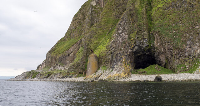
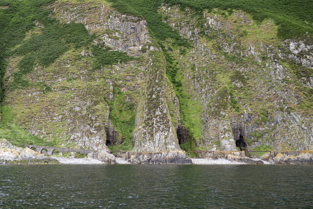
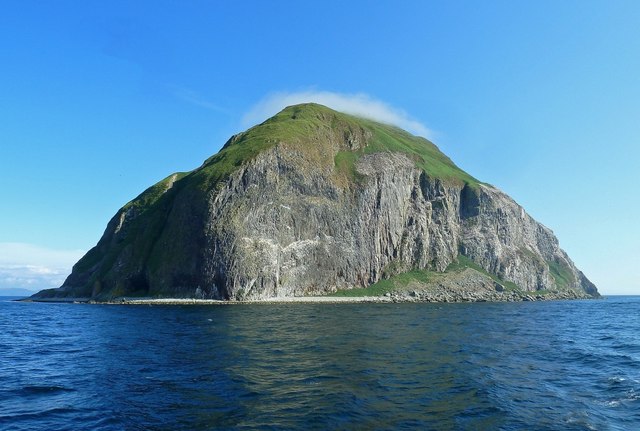
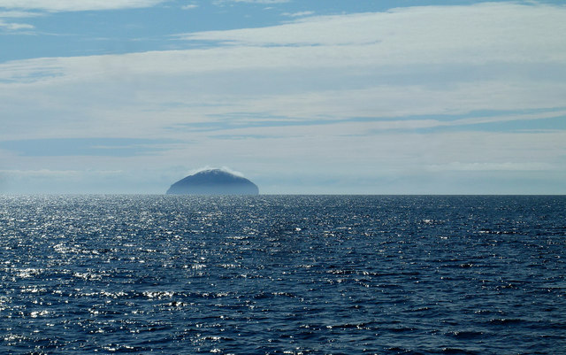
Rotten Nick is a prominent coastal feature located in Ayrshire, Scotland. It is a headland or point that juts out into the sea, offering stunning views of the surrounding area. The name "Rotten Nick" is believed to have originated from the Scottish word "nick," meaning a narrow pass or gorge, while "rotten" might refer to the decaying seaweed or organic matter often found in the area.
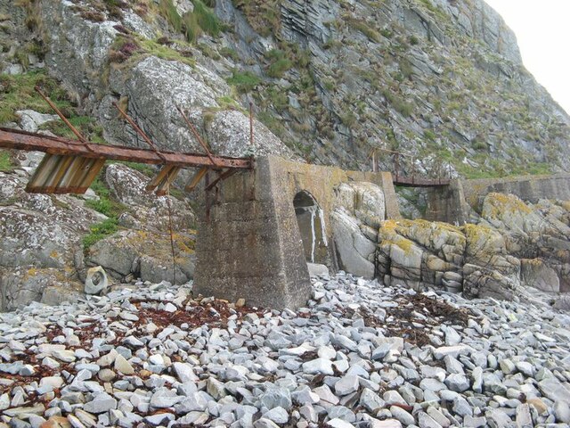
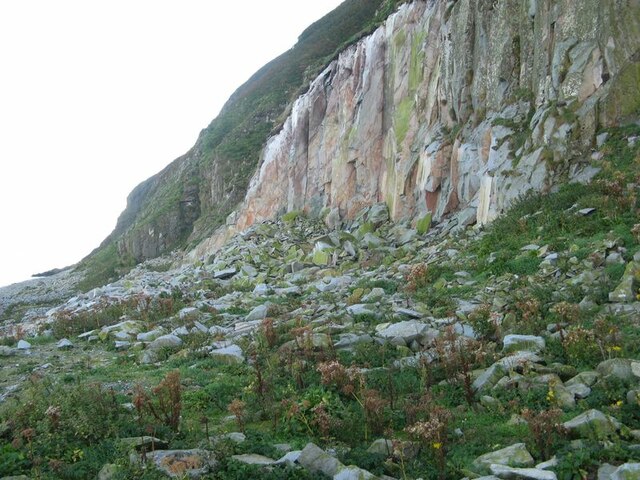
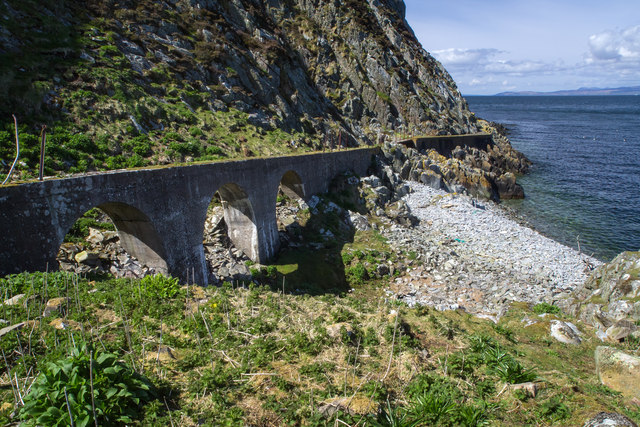
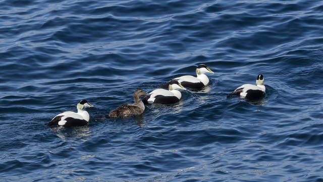
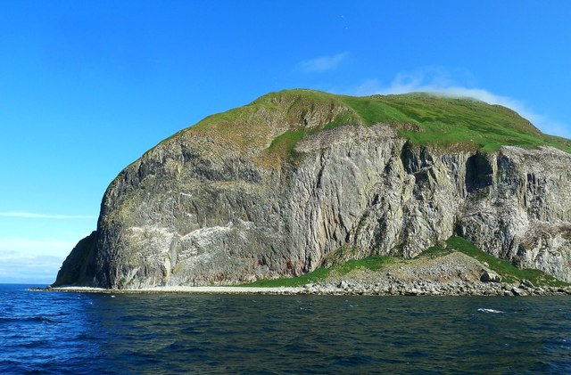
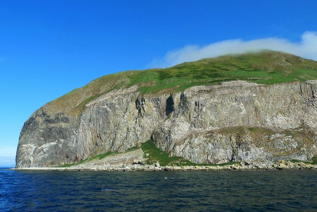
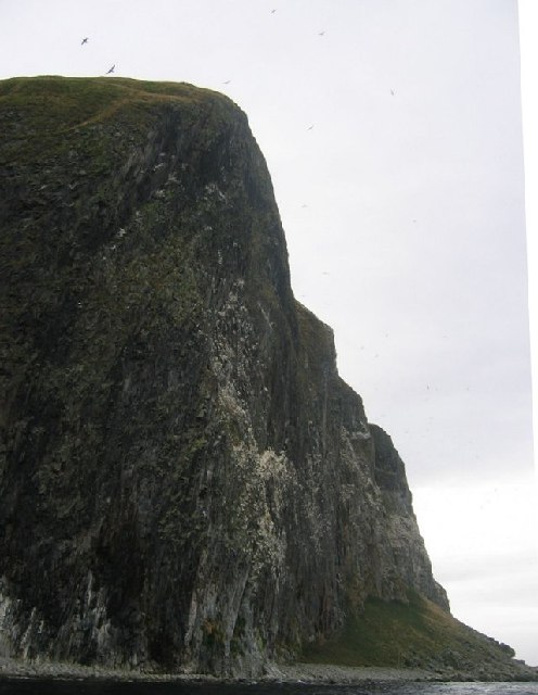
This coastal landmark is known for its rugged beauty and rocky cliffs, which create a dramatic backdrop against the crashing waves of the Atlantic Ocean. Its location provides a strategic vantage point for observing marine life, including various seabird species such as gulls, cormorants, and puffins that nest in the cliffs.
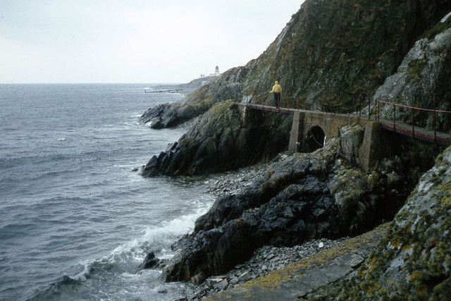
Rotten Nick is also a popular spot for outdoor enthusiasts, offering opportunities for coastal walks and hikes along its trails. Visitors can explore the headland's diverse flora and fauna, including wildflowers, grasses, and the occasional seal or dolphin sighting offshore.
The area surrounding Rotten Nick is rich in history, with remnants of ancient settlements and archaeological sites nearby. These historical features add to the allure of the location, attracting both nature lovers and history buffs.
Overall, Rotten Nick in Ayrshire is a captivating coastal feature that combines breathtaking natural beauty with a touch of historical intrigue. Whether it is for a scenic stroll or a chance to immerse oneself in the region's rich heritage, this headland offers a unique experience for visitors of all interests.
If you have any feedback on the listing, please let us know in the comments section below.
Rotten Nick Images
Images are sourced within 2km of 55.248638/-5.1188799 or Grid Reference NX0199. Thanks to Geograph Open Source API. All images are credited.
Rotten Nick is located at Grid Ref: NX0199 (Lat: 55.248638, Lng: -5.1188799)
Unitary Authority: South Ayrshire
Police Authority: Ayrshire
What 3 Words
///suspends.homelands.doing. Near Girvan, South Ayrshire
Nearby Locations
Related Wikis
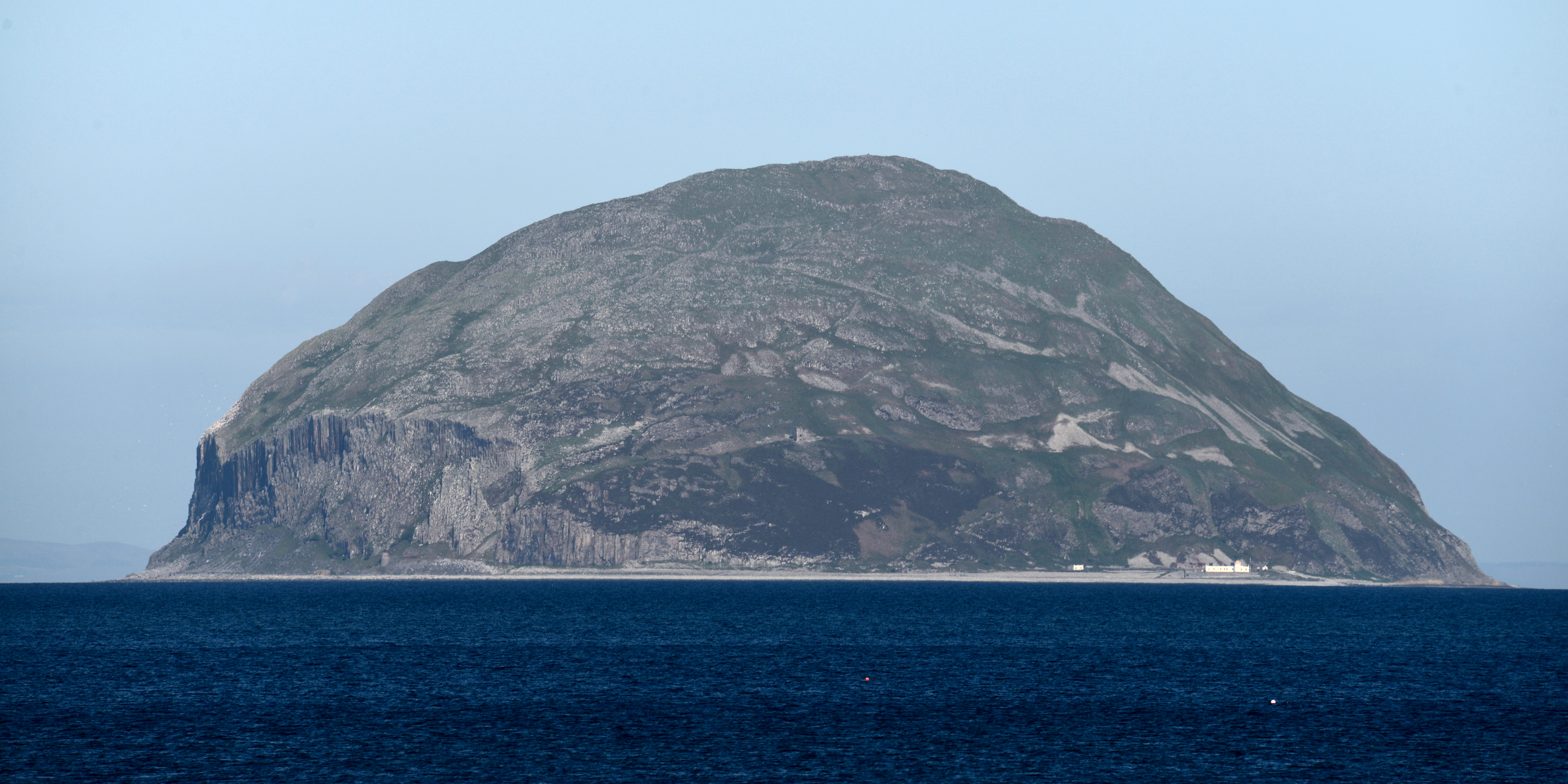
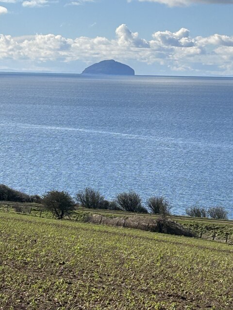
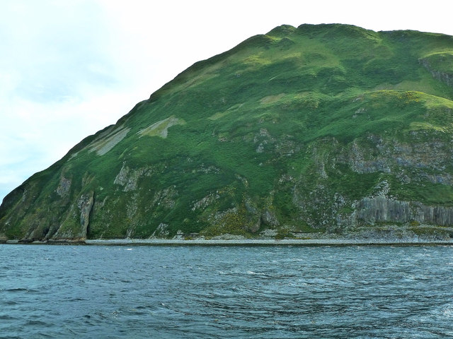
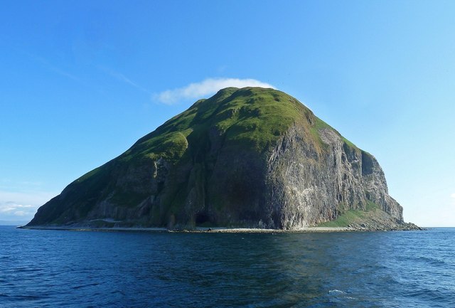
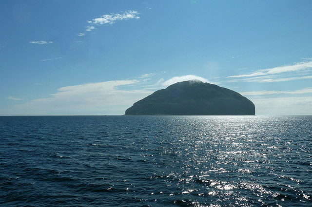
Ailsa Craig
Ailsa Craig (; Scots: Ailsae Craig; Scottish Gaelic: Creag Ealasaid) is an island of 99 ha (240 acres) in the outer Firth of Clyde, 16 km (8+1⁄2 nmi) west...

Ailsa Craig Lighthouse
The Ailsa Craig Lighthouse, is an active 19th century lighthouse located on Ailsa Craig, an island in the Firth of Clyde, just offshore from Girvan, South...
Nearby Amenities
Located within 500m of 55.248638,-5.1188799Have you been to Rotten Nick?
Leave your review of Rotten Nick below (or comments, questions and feedback).