Stranny Point
Coastal Feature, Headland, Point in Ayrshire
Scotland
Stranny Point
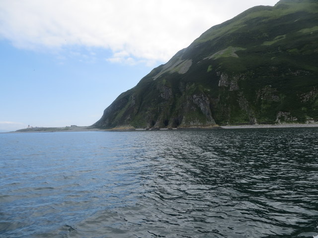
Stranny Point is a prominent coastal feature located in Ayrshire, Scotland. It is a headland that extends into the Firth of Clyde, providing a picturesque setting for visitors and locals alike. The point is situated near the town of Girvan and offers captivating views of the surrounding landscape.
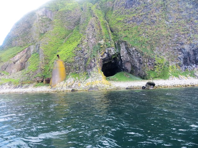
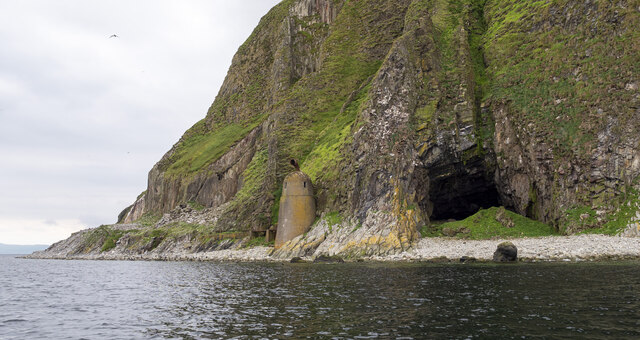
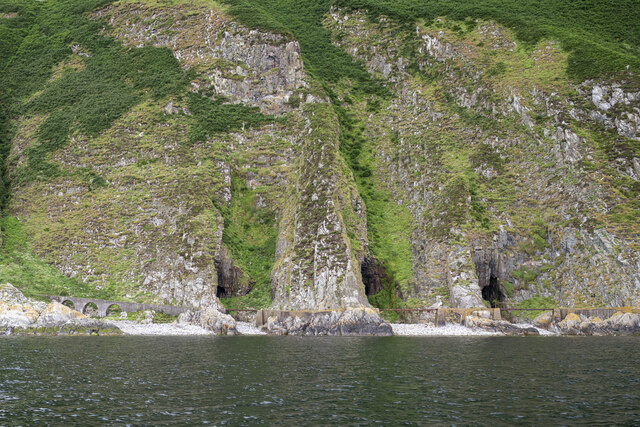
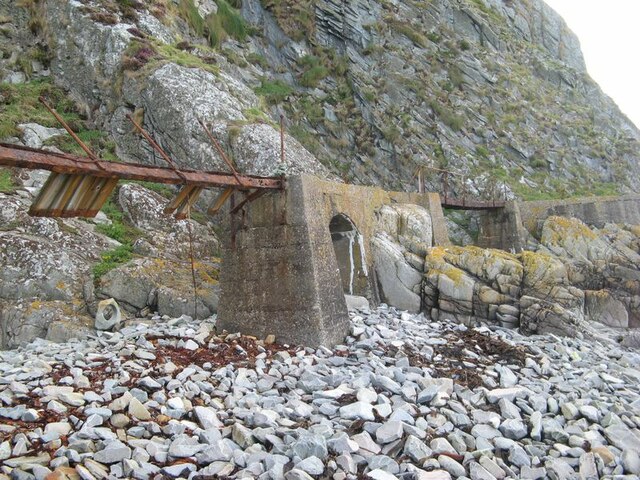
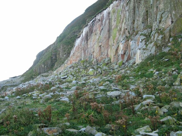
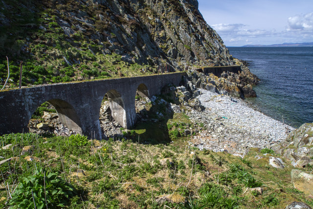
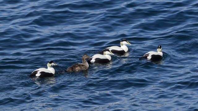
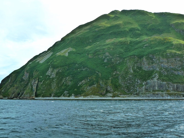
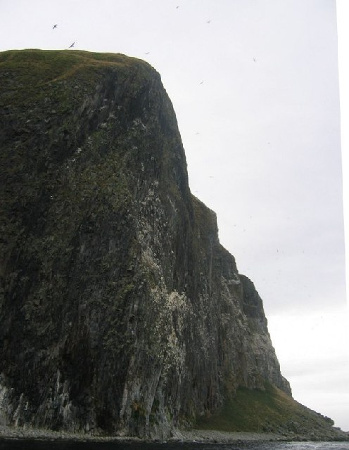
This headland is characterized by its rugged cliffs and rocky shores, which make it an ideal spot for nature enthusiasts and photographers. The cliffs are composed of sandstone and limestone, displaying layers of sedimentary rocks that have been shaped by the relentless action of the sea over time. Stranny Point also boasts a diverse array of marine life, including seabirds, seals, and occasionally dolphins.
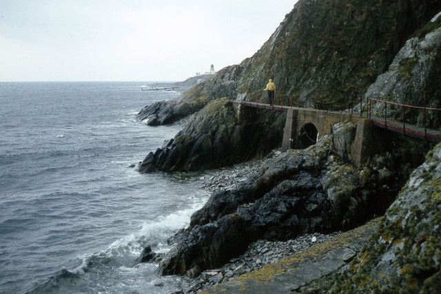
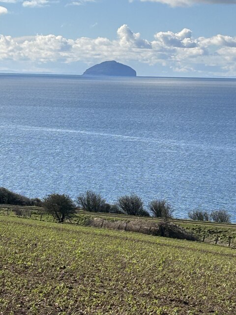
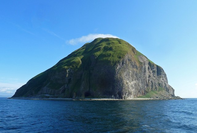
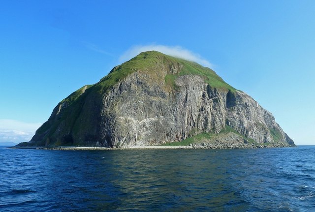
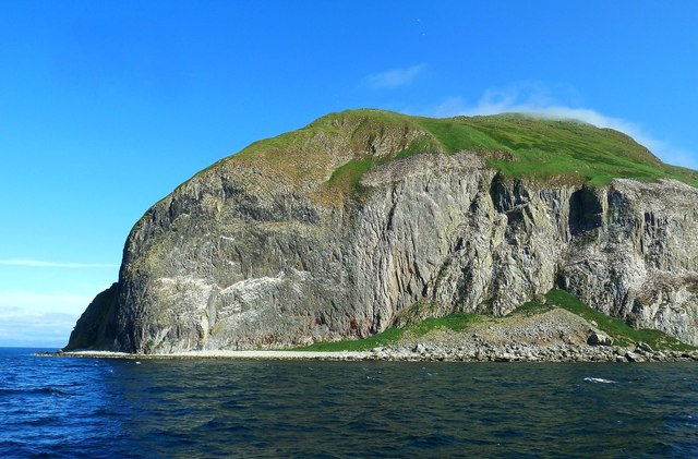
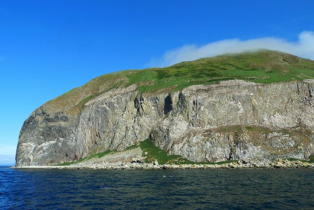
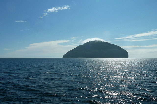
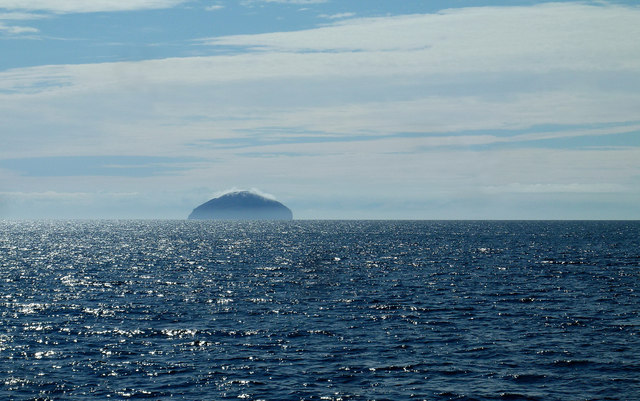
The point is easily accessible, with a well-maintained path leading to its summit. From here, visitors can enjoy panoramic vistas of the Firth of Clyde, with the Isle of Arran and Ailsa Craig visible in the distance. On a clear day, the views are particularly stunning, offering a unique perspective of the Scottish coastline.
Stranny Point is a popular destination for outdoor activities such as hiking and birdwatching. The headland is a designated nature reserve, providing a habitat for a variety of bird species, including gulls, cormorants, and fulmars. The surrounding area is also home to several walking trails, allowing visitors to explore the diverse flora and fauna of Ayrshire's coastal ecosystem.
In conclusion, Stranny Point is a captivating headland situated in Ayrshire, Scotland. With its dramatic cliffs, breathtaking views, and abundant wildlife, it is a must-visit location for nature enthusiasts and those seeking a tranquil coastal experience.
If you have any feedback on the listing, please let us know in the comments section below.
Stranny Point Images
Images are sourced within 2km of 55.248675/-5.1244697 or Grid Reference NX0199. Thanks to Geograph Open Source API. All images are credited.
Stranny Point is located at Grid Ref: NX0199 (Lat: 55.248675, Lng: -5.1244697)
Unitary Authority: South Ayrshire
Police Authority: Ayrshire
What 3 Words
///rejoined.hydrant.proofread. Near Girvan, South Ayrshire
Nearby Locations
Related Wikis
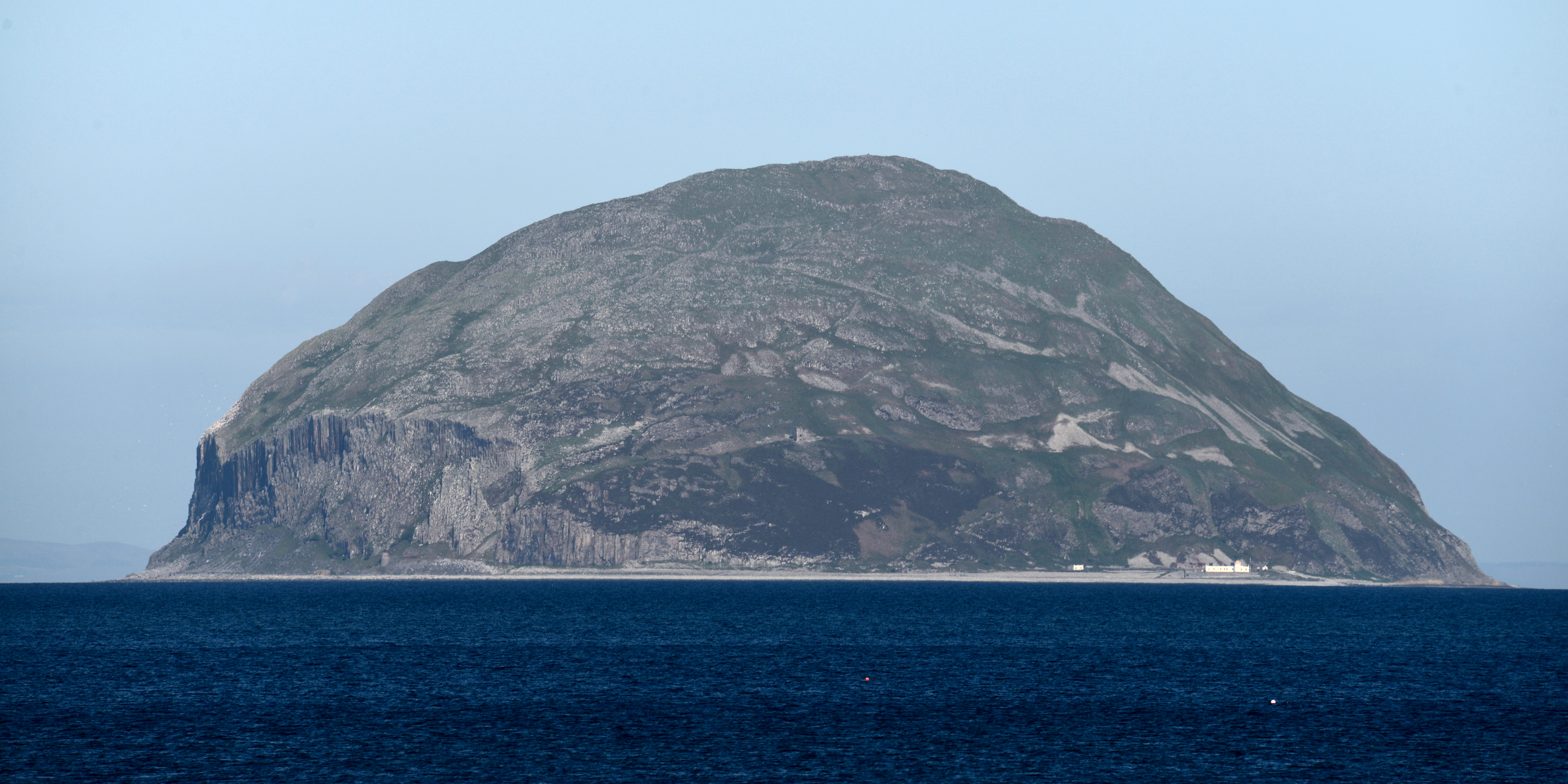
Ailsa Craig
Ailsa Craig (; Scots: Ailsae Craig; Scottish Gaelic: Creag Ealasaid) is an island of 99 ha (240 acres) in the outer Firth of Clyde, 16 km (8+1⁄2 nmi) west...

Ailsa Craig Lighthouse
The Ailsa Craig Lighthouse, is an active 19th century lighthouse located on Ailsa Craig, an island in the Firth of Clyde, just offshore from Girvan, South...
Have you been to Stranny Point?
Leave your review of Stranny Point below (or comments, questions and feedback).