Kennedy's Nags
Coastal Feature, Headland, Point in Ayrshire
Scotland
Kennedy's Nags
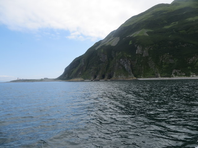
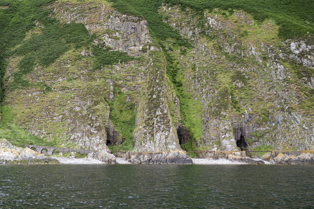
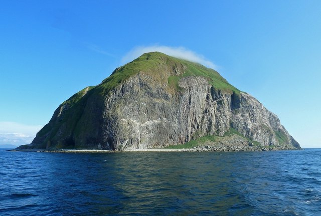
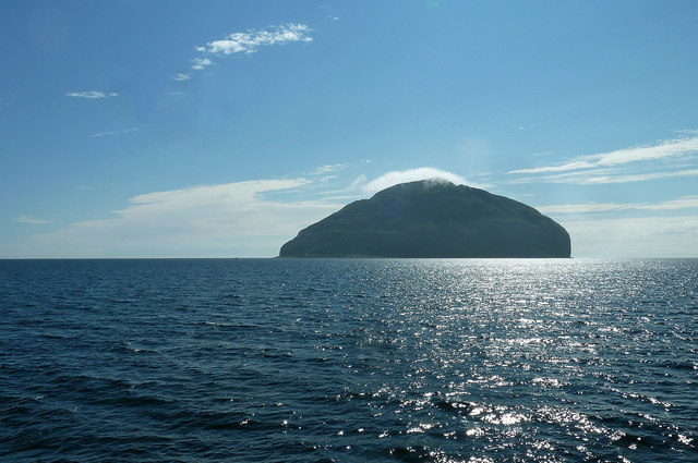
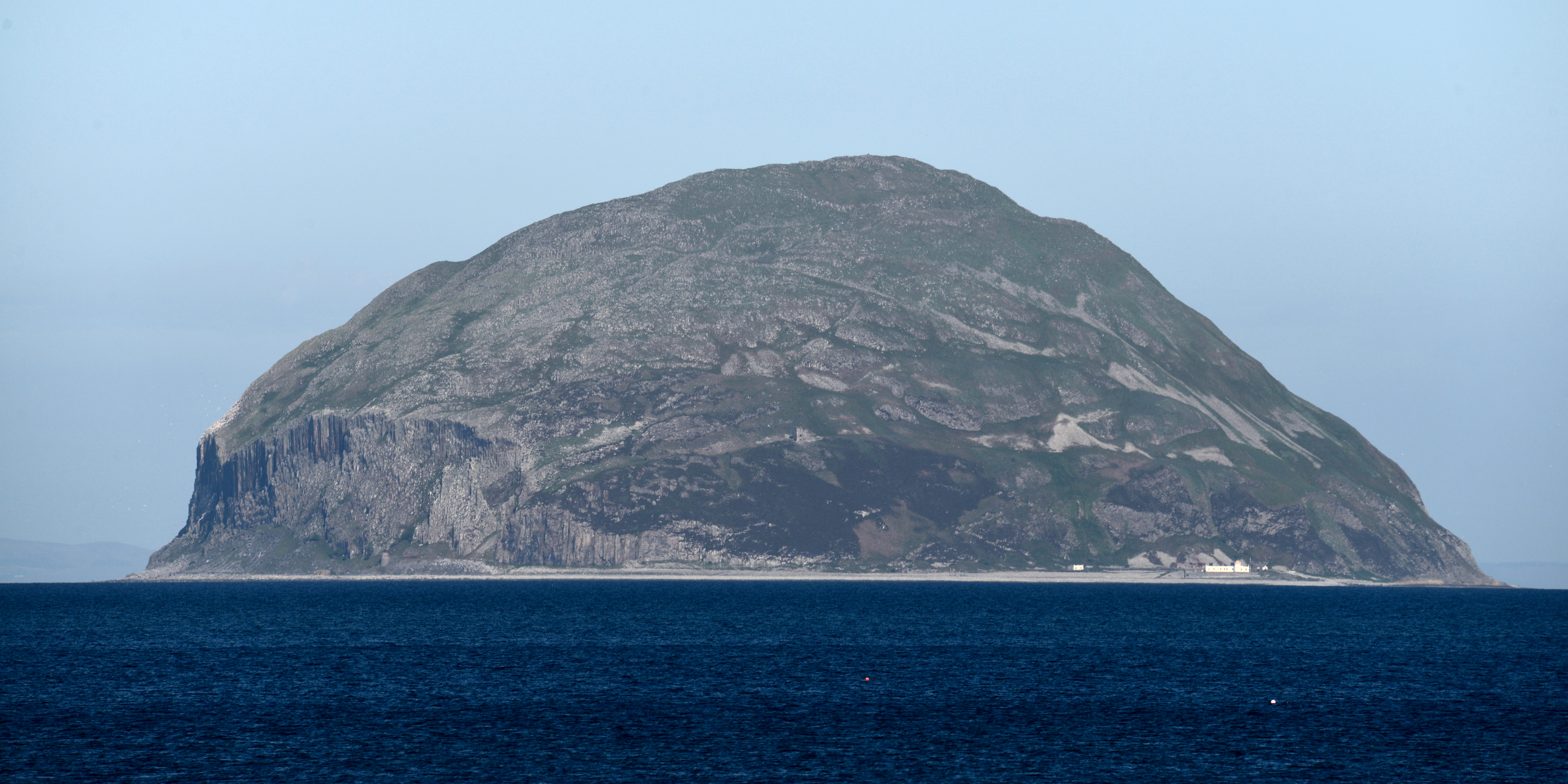
Kennedy's Nags is a stunning coastal feature located in Ayrshire, Scotland. It is a prominent headland that juts out into the North Atlantic Ocean, forming a distinctive and picturesque point along the coastline.
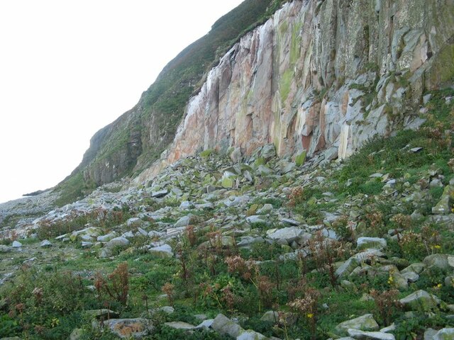
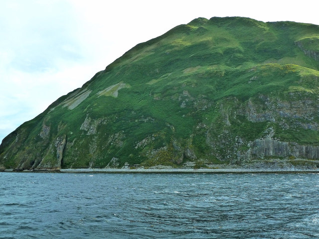
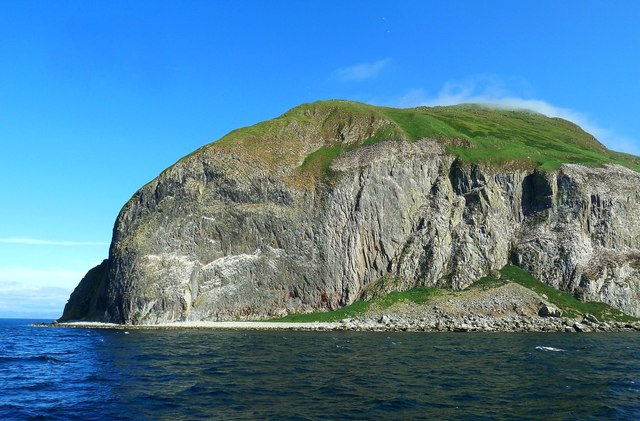
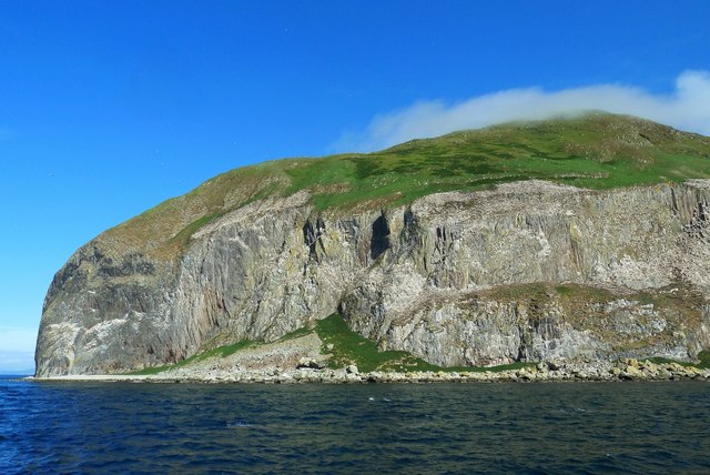
The headland is named after the Kennedy family, who were prominent landowners in the area during the 19th century. Kennedy's Nags offers breathtaking views of the surrounding landscape, with its rugged cliffs and rocky shores. The headland itself is composed of ancient sandstone, which has been shaped and eroded by the relentless power of the sea over thousands of years.
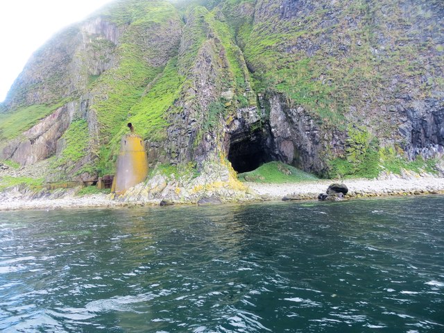
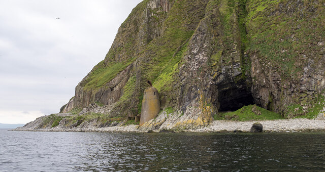
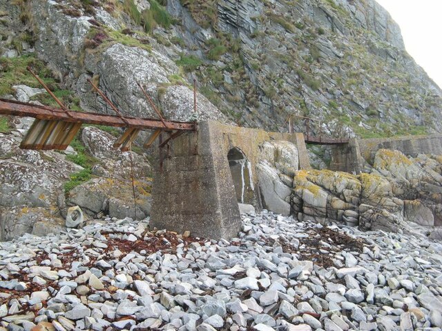
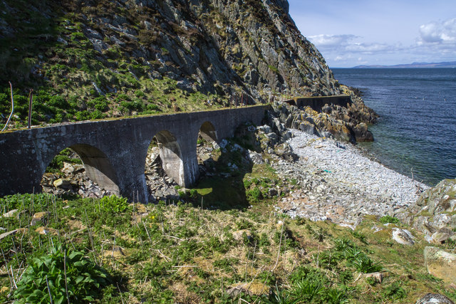
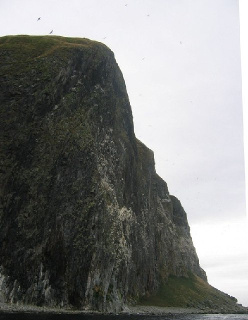
One of the most notable aspects of Kennedy's Nags is its unique rock formations. These include natural arches, sea stacks, and caves, which have been carved out by the constant pounding of the waves. The rocks are rich in fossils, providing evidence of the area's geological history.
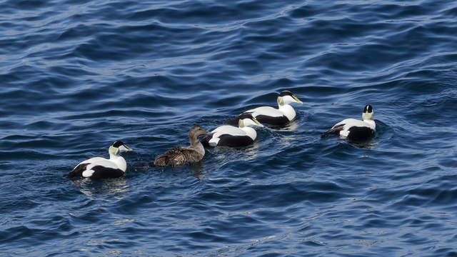
The headland is also home to a diverse array of flora and fauna. Seabirds nest on the cliffs, including puffins, guillemots, and razorbills, creating a noisy and vibrant atmosphere during the breeding season. Grey seals can often be seen basking on the rocks, while dolphins and porpoises occasionally make appearances offshore.
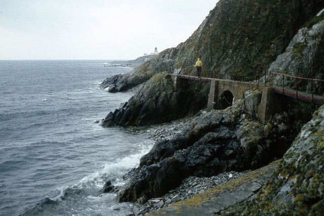
Kennedy's Nags is a popular destination for outdoor enthusiasts and nature lovers. Visitors can enjoy scenic walks along the cliff-top paths, taking in the breathtaking views of the ocean and the surrounding countryside. The headland also offers excellent opportunities for wildlife spotting, photography, and rock climbing for the more adventurous.
Overall, Kennedy's Nags is a remarkable coastal feature that showcases the raw beauty and power of nature. Its rugged cliffs, unique rock formations, and diverse wildlife make it a must-visit destination for anyone exploring the Ayrshire coastline.
If you have any feedback on the listing, please let us know in the comments section below.
Kennedy's Nags Images
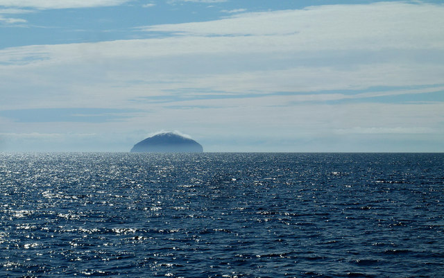
Images are sourced within 2km of 55.248583/-5.1213779 or Grid Reference NX0199. Thanks to Geograph Open Source API. All images are credited.
Kennedy's Nags is located at Grid Ref: NX0199 (Lat: 55.248583, Lng: -5.1213779)
Unitary Authority: South Ayrshire
Police Authority: Ayrshire
What 3 Words
///mingles.yacht.deeper. Near Girvan, South Ayrshire
Nearby Locations
Related Wikis
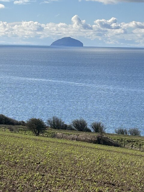
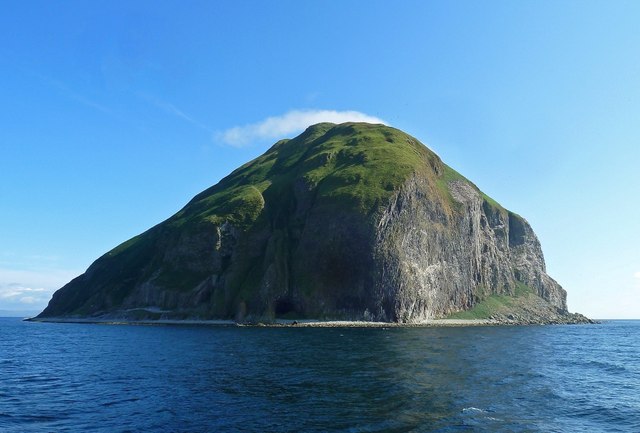
Ailsa Craig
Ailsa Craig (; Scots: Ailsae Craig; Scottish Gaelic: Creag Ealasaid) is an island of 99 ha (240 acres) in the outer Firth of Clyde, 16 km (8+1⁄2 nmi) west...

Ailsa Craig Lighthouse
The Ailsa Craig Lighthouse, is an active 19th century lighthouse located on Ailsa Craig, an island in the Firth of Clyde, just offshore from Girvan, South...
Nearby Amenities
Located within 500m of 55.248583,-5.1213779Have you been to Kennedy's Nags?
Leave your review of Kennedy's Nags below (or comments, questions and feedback).