Hole Ginkins
Coastal Feature, Headland, Point in Wigtownshire
Scotland
Hole Ginkins
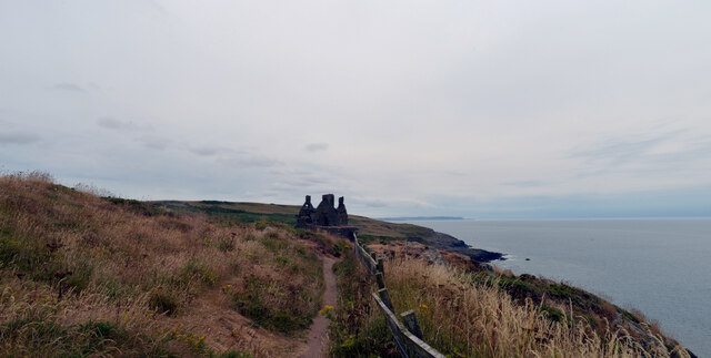
Hole Ginkins is a prominent headland located in Wigtownshire, a coastal region in southwestern Scotland. Situated along the picturesque coastline, it is renowned for its natural beauty and unique geological features.
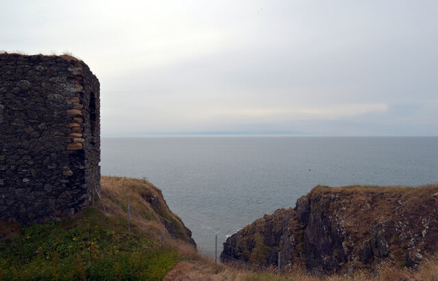
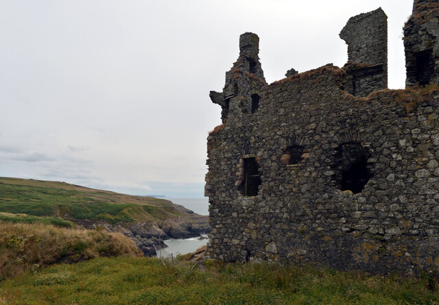
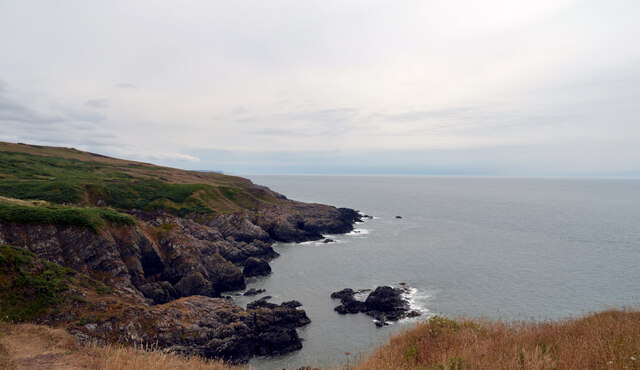
The headland is characterized by its rugged cliffs, which jut out into the sea, providing commanding views of the surrounding area. These cliffs are composed of sedimentary rocks, primarily sandstone and limestone, displaying intricate patterns and textures formed over millions of years.
Hole Ginkins is also notable for its diverse wildlife. The headland is a haven for various seabird species, including gulls, guillemots, and puffins, which nest on the cliffs during the breeding season. Visitors can often observe these fascinating creatures in their natural habitat, adding to the allure of the area.
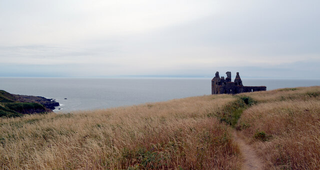
The headland is easily accessible by foot, with several walking trails and paths leading to the site. Along these paths, visitors can take in the breathtaking coastal scenery, dotted with wildflowers and grasses, enhancing the overall charm of the location.
Furthermore, Hole Ginkins offers opportunities for outdoor activities such as hiking, birdwatching, and photography. Its strategic location also makes it an excellent spot for fishing, as the headland provides ample opportunities to cast a line into the sea.
Overall, Hole Ginkins is a captivating coastal feature in Wigtownshire, offering a rich tapestry of natural wonders, wildlife, and recreational opportunities. Whether one seeks solitude, adventure, or simply an appreciation of nature's beauty, this headland is a must-visit destination.
If you have any feedback on the listing, please let us know in the comments section below.
Hole Ginkins Images
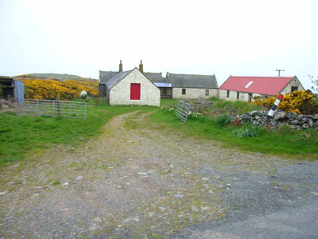
Images are sourced within 2km of 54.82539/-5.0852382 or Grid Reference NX0152. Thanks to Geograph Open Source API. All images are credited.


Hole Ginkins is located at Grid Ref: NX0152 (Lat: 54.82539, Lng: -5.0852382)
Unitary Authority: Dumfries and Galloway
Police Authority: Dumfries and Galloway
What 3 Words
///lorry.blunders.dining. Near Stranraer, Dumfries & Galloway
Nearby Locations
Related Wikis

Knockinaam Lodge
Knockinaam Lodge is a hotel and restaurant located about 3.5 miles South of Portpatrick, Dumfries & Galloway, Scotland. As of 2008, the restaurant holds...

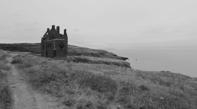
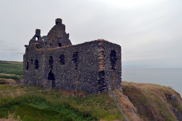
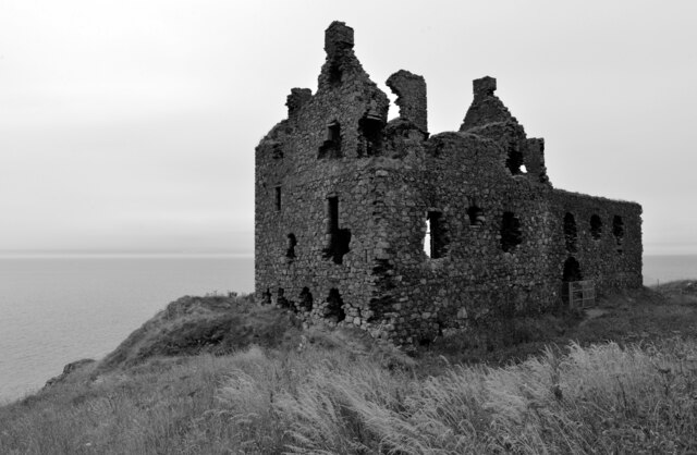
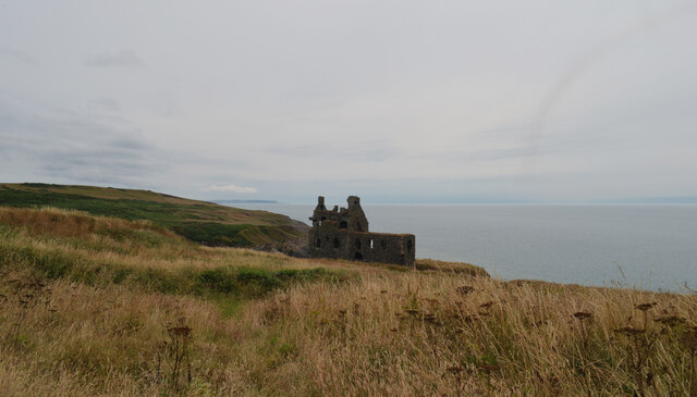
Dunskey Castle
Dunskey Castle is a ruined, 12th-century tower house or castle, located 0.5 miles (0.80 km) south of the village of Portpatrick, Rhinns, Wigtownshire,...
Dunskey
Dunskey Estate (also known as Portree Estate) is north of Portpatrick on the west coast of Scotland. The B-listed mansion dates from the start of the twentieth...

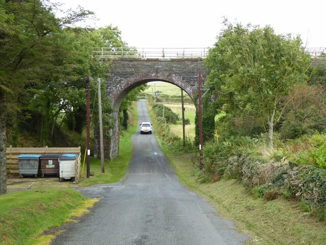
Portpatrick railway station
Portpatrick railway station was a railway station serving the village of Portpatrick, Dumfries & Galloway, Scotland. Opened in 1862 the station served...
Nearby Amenities
Located within 500m of 54.82539,-5.0852382Have you been to Hole Ginkins?
Leave your review of Hole Ginkins below (or comments, questions and feedback).