Allan Easy
Coastal Feature, Headland, Point in Wigtownshire
Scotland
Allan Easy
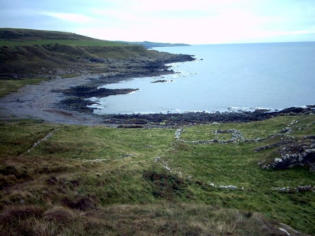
Allan Easy is a prominent headland located in Wigtownshire, Scotland. Situated along the picturesque coastline, it serves as a defining feature of the region's natural landscape. Known for its stunning views and rugged beauty, Allan Easy attracts locals and tourists alike.
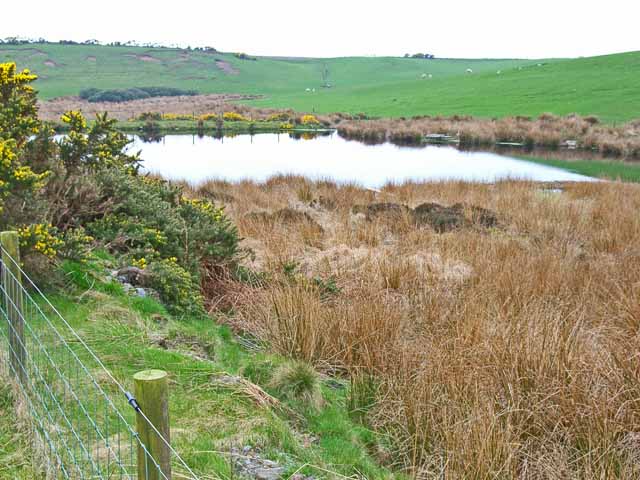
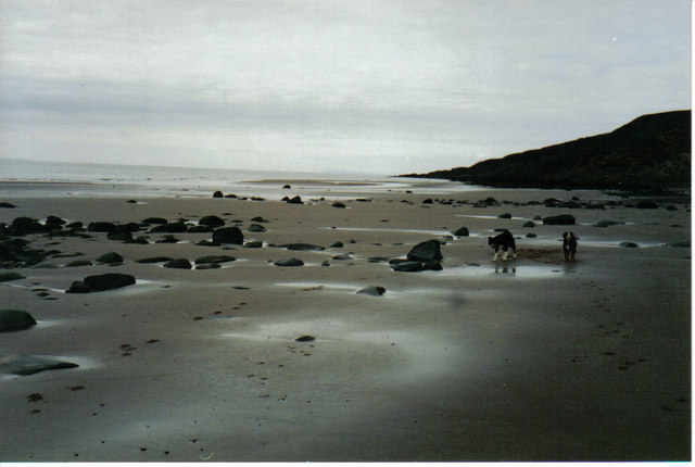
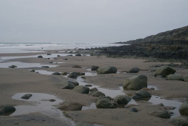
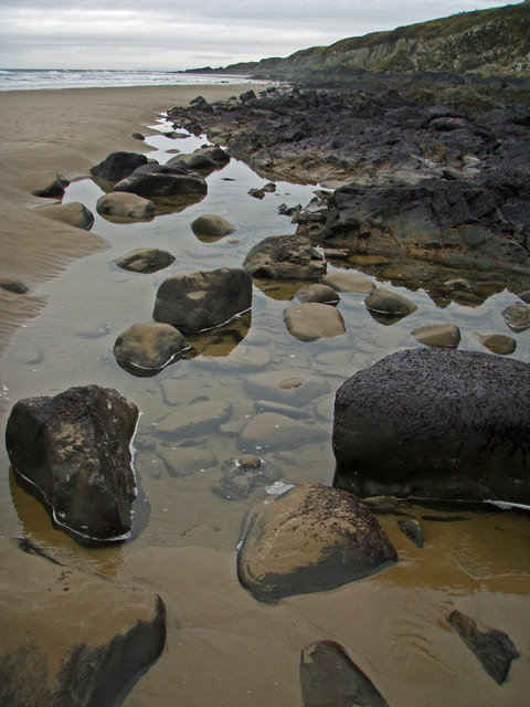
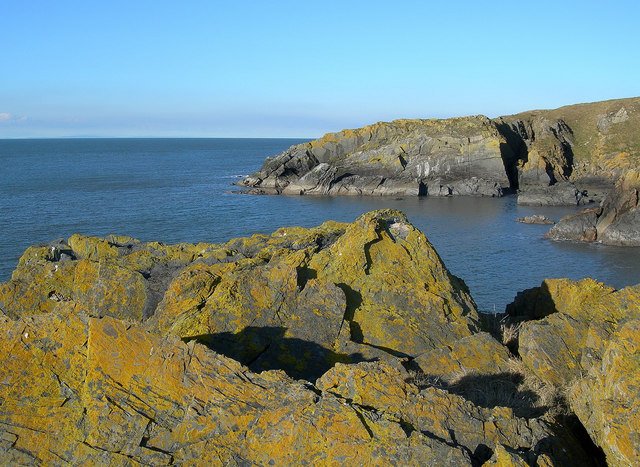
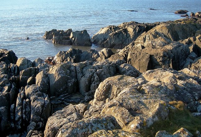
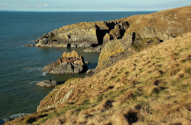
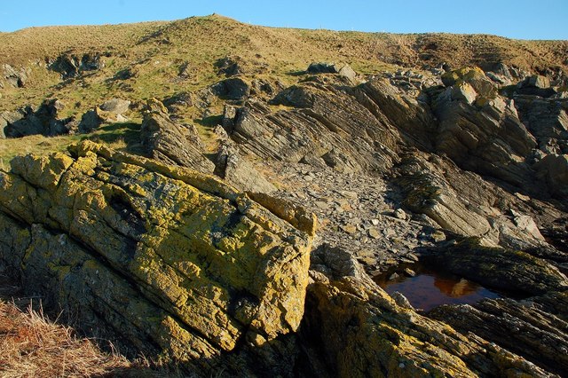
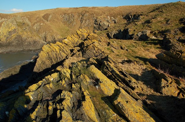
This coastal headland is characterized by its dramatic cliffs that rise steeply from the sea, offering breathtaking panoramic vistas of the surrounding area. The cliffs, composed primarily of sedimentary rock, showcase layers of different colors and textures, telling a geological story of the region's history. The headland is also home to various types of seabirds, including gulls and puffins, which nest in the cliffs during breeding season.
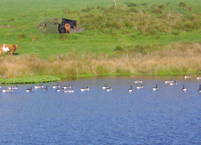
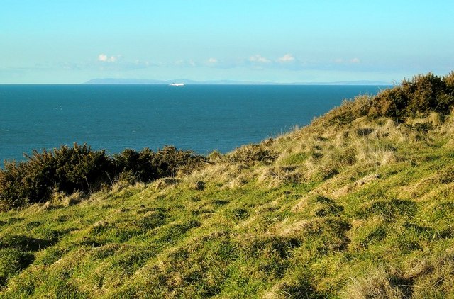
Atop Allan Easy, visitors can enjoy sweeping views of the nearby coastline, with its pristine sandy beaches and crystalline waters. On clear days, the headland offers a fantastic vantage point to observe passing ships and boats, as well as spot marine wildlife such as dolphins and seals.
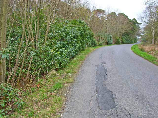
Access to Allan Easy is relatively easy, with a well-maintained footpath leading from a nearby parking area. The headland is a popular spot for outdoor enthusiasts, who can explore the surrounding area on foot or by bike. Additionally, there are picnic areas and benches available, allowing visitors to relax and soak in the natural splendor of Allan Easy.
Overall, Allan Easy in Wigtownshire is a captivating coastal feature, offering stunning views, diverse wildlife, and an opportunity to connect with nature in a tranquil setting.
If you have any feedback on the listing, please let us know in the comments section below.
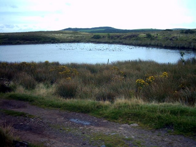
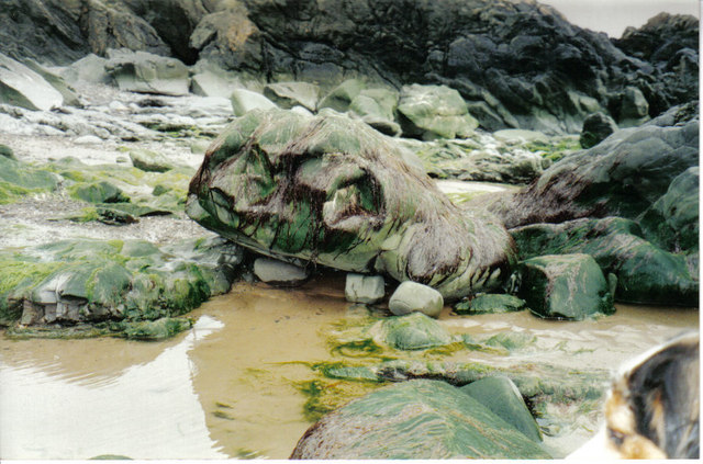
Allan Easy Images
Images are sourced within 2km of 54.910589/-5.1823161 or Grid Reference NW9661. Thanks to Geograph Open Source API. All images are credited.
Allan Easy is located at Grid Ref: NW9661 (Lat: 54.910589, Lng: -5.1823161)
Unitary Authority: Dumfries and Galloway
Police Authority: Dumfries and Galloway
What 3 Words
///blanket.carpets.lifeguard. Near Stranraer, Dumfries & Galloway
Nearby Locations
Related Wikis

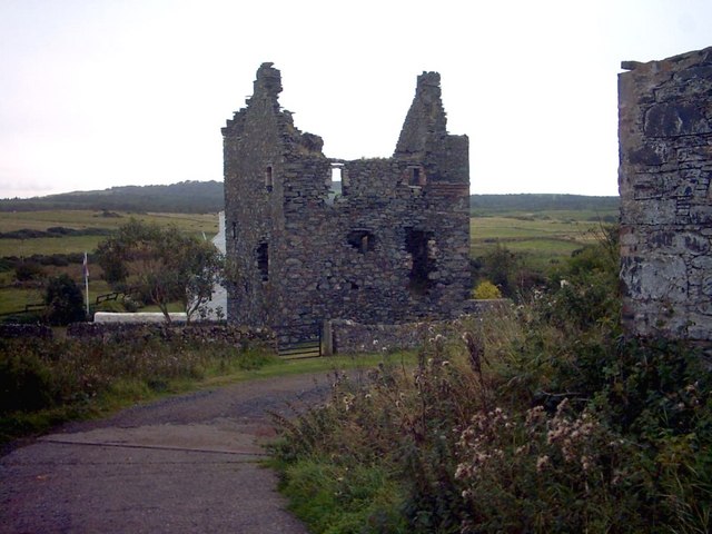
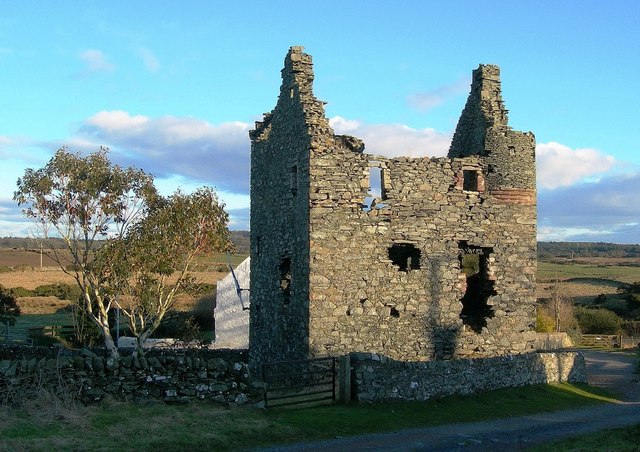
Galdenoch Castle
Galdenoch Castle is a tower house near the Scottish village of Leswalt in the Council Area Dumfries and Galloway . The ruin is listed as a Scheduled Monument...

Killantringan Lighthouse
Killantringan Lighthouse is a lighthouse located near Portpatrick in Dumfries and Galloway, south-west Scotland. The light came into operation in 1900...

MV Craigantlet
MV Craigantlet was a German-owned, Cyprus-registered container ship operated on time-charter by Cawoods Containers Ltd of Belfast. She ran aground on 26...
Leswalt
Leswalt (Scottish Gaelic: Lios Uillt) is a village and civil parish in Dumfries and Galloway, south-west Scotland. It lies between Portpatrick and Stranraer...
Nearby Amenities
Located within 500m of 54.910589,-5.1823161Have you been to Allan Easy?
Leave your review of Allan Easy below (or comments, questions and feedback).