Salt Pans Bay
Sea, Estuary, Creek in Wigtownshire
Scotland
Salt Pans Bay
Salt Pans Bay is a picturesque coastal area located in Wigtownshire, Scotland. Situated on the western coast of the country, it is renowned for its stunning sea views, estuary, and creek. The bay is a popular destination for tourists and locals alike, attracting nature enthusiasts and outdoor adventurers.
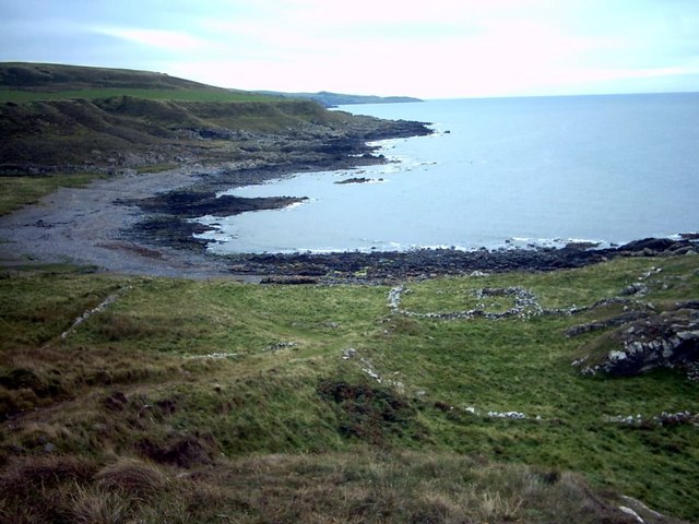
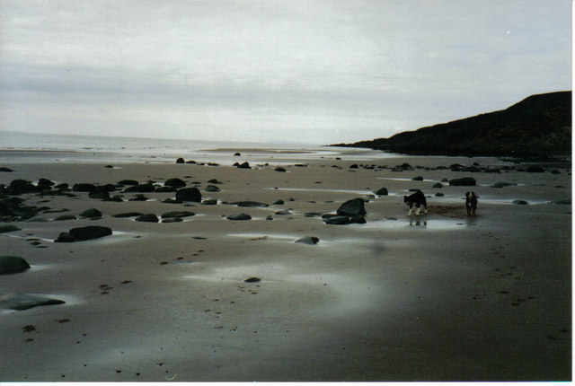
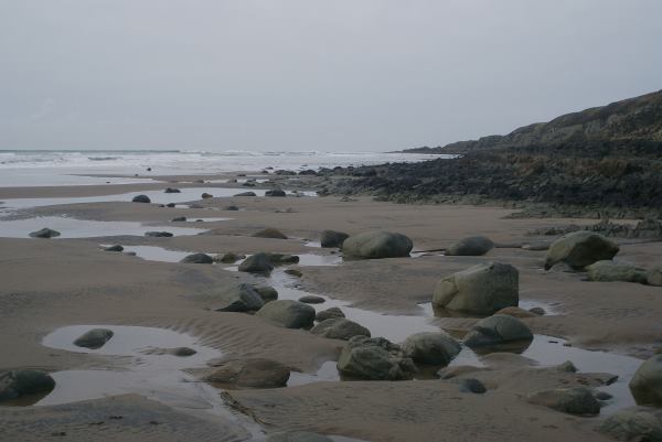
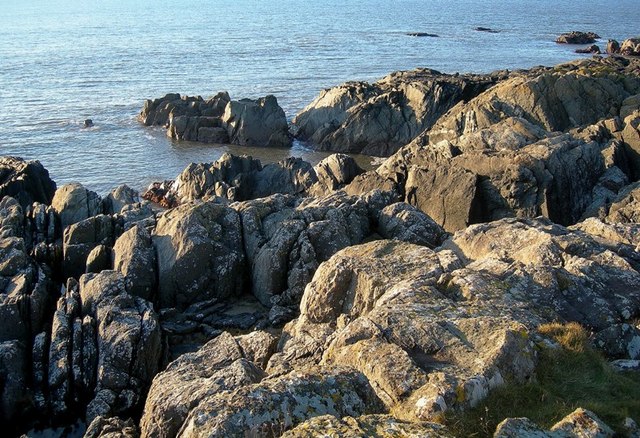
The bay's most notable feature is its expansive sea, offering breathtaking vistas of the North Atlantic Ocean. The crystal-clear waters are a haven for marine life, making it a popular spot for fishing and diving activities. The bay's calm and tranquil atmosphere also makes it a perfect place for leisurely walks along the sandy shores or for simply basking in the beauty of nature.
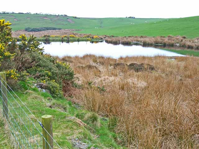
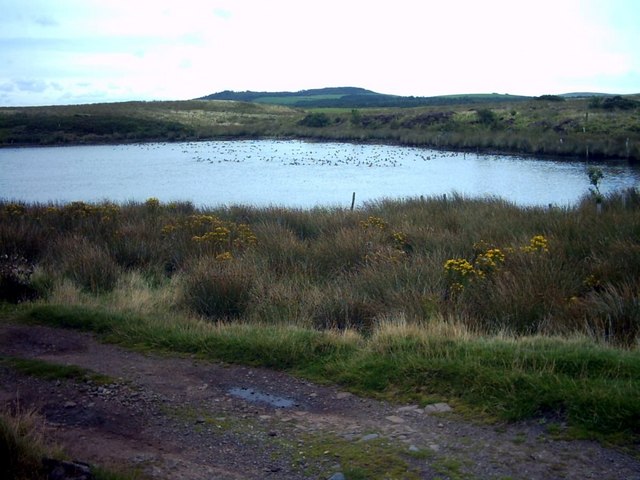
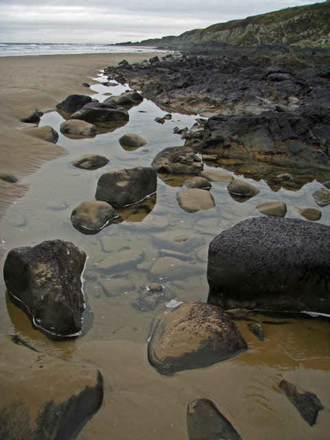
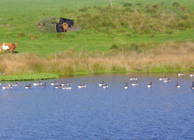
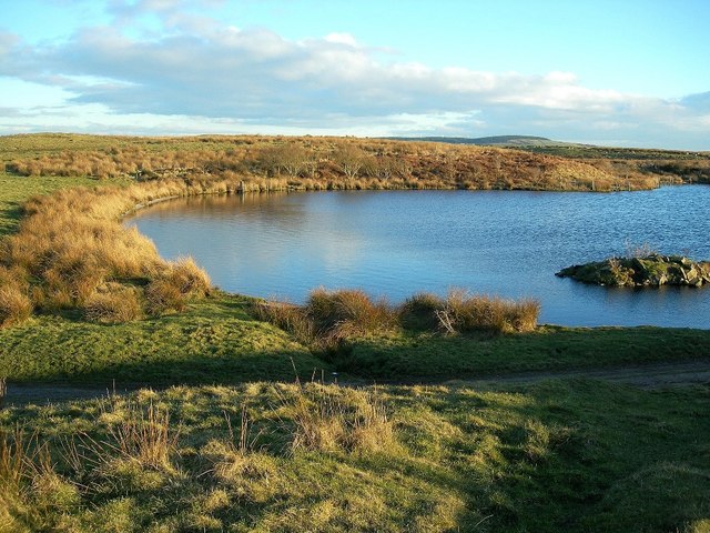
Salt Pans Bay is also home to a mesmerizing estuary, where the sea meets the mouth of a river. This unique ecosystem is teeming with a rich variety of flora and fauna, including migratory birds, fish, and other aquatic species. The estuary provides an ideal habitat for birdwatching enthusiasts, who can observe a diverse array of species in their natural habitat.
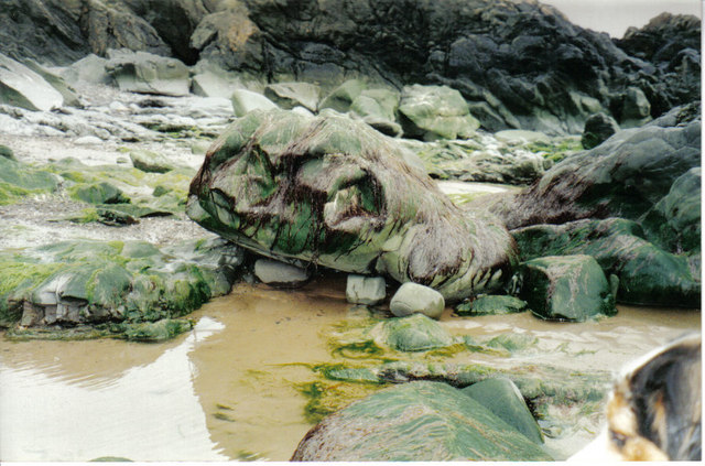
Furthermore, the bay features a picturesque creek, with meandering channels and marshy areas. The creek is an important ecological site, serving as a nursery for many marine organisms and as a refuge for various species of plants and animals.
Overall, Salt Pans Bay offers a captivating blend of sea, estuary, and creek, making it a must-visit destination for those seeking a serene coastal experience in the heart of Wigtownshire.
If you have any feedback on the listing, please let us know in the comments section below.
Salt Pans Bay Images
Images are sourced within 2km of 54.90664/-5.1762307 or Grid Reference NW9661. Thanks to Geograph Open Source API. All images are credited.


Salt Pans Bay is located at Grid Ref: NW9661 (Lat: 54.90664, Lng: -5.1762307)
Unitary Authority: Dumfries and Galloway
Police Authority: Dumfries and Galloway
What 3 Words
///stowing.caves.second. Near Stranraer, Dumfries & Galloway
Nearby Locations
Related Wikis

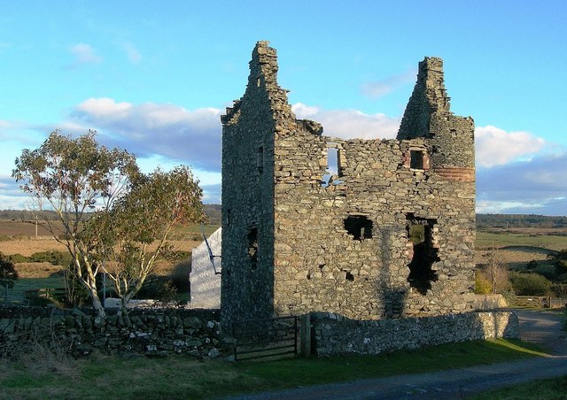
Galdenoch Castle
Galdenoch Castle is a tower house near the Scottish village of Leswalt in the Council Area Dumfries and Galloway . The ruin is listed as a Scheduled Monument...

Killantringan Lighthouse
Killantringan Lighthouse is a lighthouse located near Portpatrick in Dumfries and Galloway, south-west Scotland. The light came into operation in 1900...

MV Craigantlet
MV Craigantlet was a German-owned, Cyprus-registered container ship operated on time-charter by Cawoods Containers Ltd of Belfast. She ran aground on 26...
Leswalt
Leswalt (Scottish Gaelic: Lios Uillt) is a village and civil parish in Dumfries and Galloway, south-west Scotland. It lies between Portpatrick and Stranraer...
Nearby Amenities
Located within 500m of 54.90664,-5.1762307Have you been to Salt Pans Bay?
Leave your review of Salt Pans Bay below (or comments, questions and feedback).