Barny's Leap
Cliff, Slope in Wigtownshire
Scotland
Barny's Leap
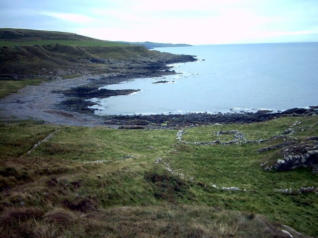
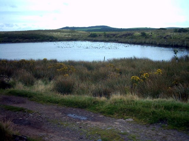
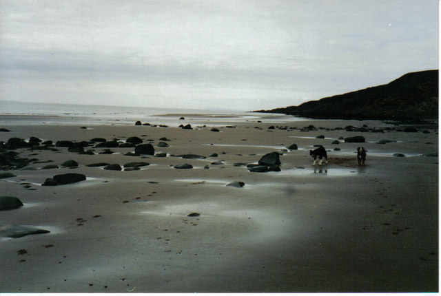
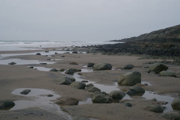
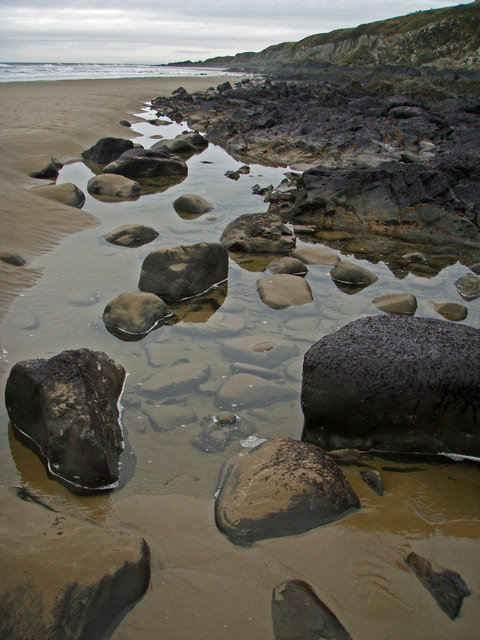
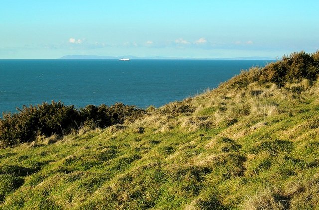
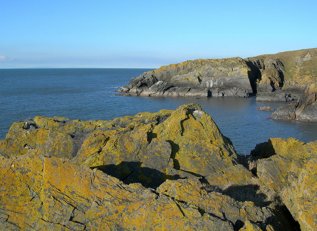
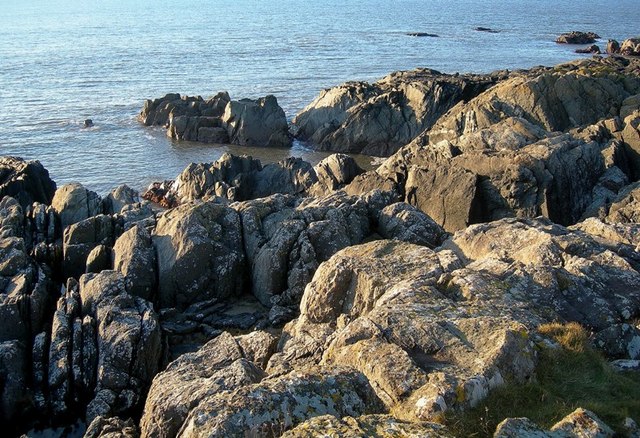
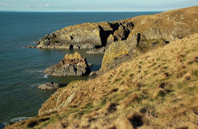
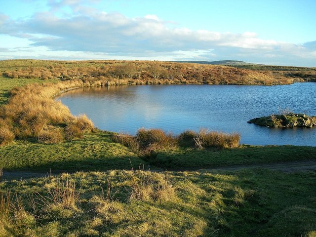
Barny's Leap is a prominent cliff located in Wigtownshire, Scotland. It is positioned on the coast, overlooking the Irish Sea, and has become a popular tourist attraction due to its dramatic scenery and historical significance.
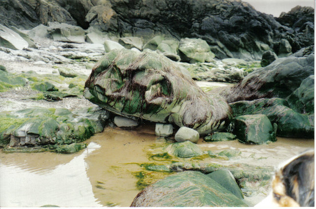
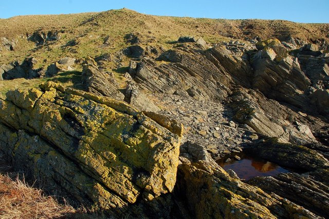
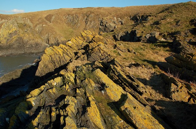
The cliff stands at an impressive height of around 150 feet (45 meters) and is composed of rugged, rocky terrain. Its steep slope, combined with the crashing waves below, creates a mesmerizing sight for visitors. The cliff face is predominantly made up of sedimentary rock layers, which provide a glimpse into the region's geological history.
Legend has it that Barny's Leap earned its name from a local fisherman named Barny who, being chased by customs officers, leaped from the cliff to escape capture. While the authenticity of this tale is debated, it has added to the cliff's allure and intrigue.
For those seeking outdoor activities, Barny's Leap offers a challenging hiking experience. There are well-maintained footpaths and trails that wind their way along the cliff's edge, providing breathtaking views of the surrounding landscape. However, caution is advised due to the steepness and instability of some sections.
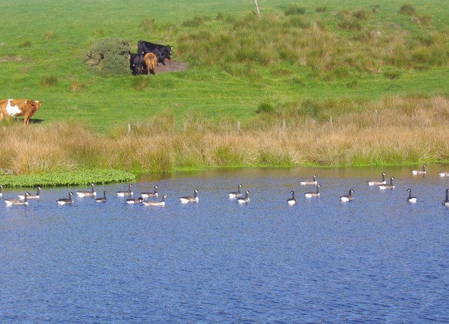
The cliff also serves as a nesting site for various seabirds, including gulls and fulmars. Birdwatchers flock to the area during the breeding season to observe these magnificent creatures in their natural habitat.
Overall, Barny's Leap is a remarkable cliff in Wigtownshire, offering visitors a blend of natural beauty, history, and adventure. It is a must-visit destination for those exploring the stunning Scottish coastline.
If you have any feedback on the listing, please let us know in the comments section below.
Barny's Leap Images
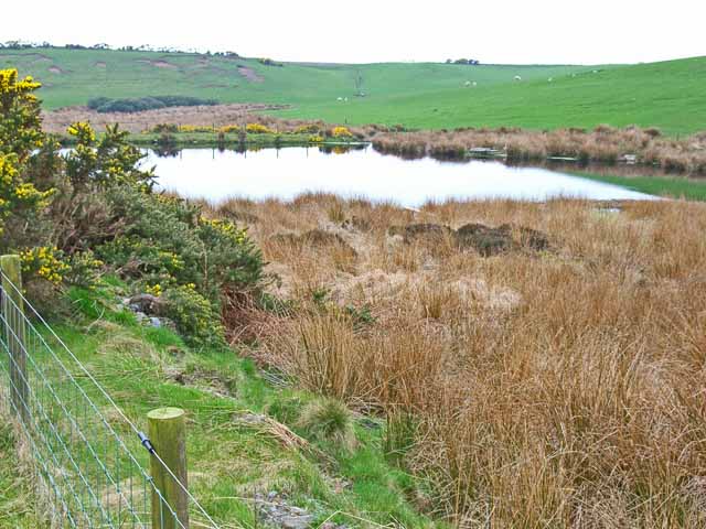
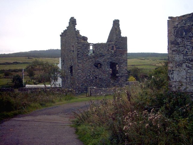
Images are sourced within 2km of 54.910665/-5.1814949 or Grid Reference NW9661. Thanks to Geograph Open Source API. All images are credited.
Barny's Leap is located at Grid Ref: NW9661 (Lat: 54.910665, Lng: -5.1814949)
Unitary Authority: Dumfries and Galloway
Police Authority: Dumfries and Galloway
What 3 Words
///smarter.jeering.upward. Near Stranraer, Dumfries & Galloway
Nearby Locations
Related Wikis

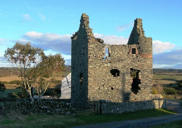
Galdenoch Castle
Galdenoch Castle is a tower house near the Scottish village of Leswalt in the Council Area Dumfries and Galloway . The ruin is listed as a Scheduled Monument...

Killantringan Lighthouse
Killantringan Lighthouse is a lighthouse located near Portpatrick in Dumfries and Galloway, south-west Scotland. The light came into operation in 1900...

MV Craigantlet
MV Craigantlet was a German-owned, Cyprus-registered container ship operated on time-charter by Cawoods Containers Ltd of Belfast. She ran aground on 26...
Leswalt
Leswalt (Scottish Gaelic: Lios Uillt) is a village and civil parish in Dumfries and Galloway, south-west Scotland. It lies between Portpatrick and Stranraer...
Nearby Amenities
Located within 500m of 54.910665,-5.1814949Have you been to Barny's Leap?
Leave your review of Barny's Leap below (or comments, questions and feedback).