The Bishop
Coastal Feature, Headland, Point in Cornwall
England
The Bishop
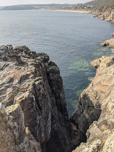
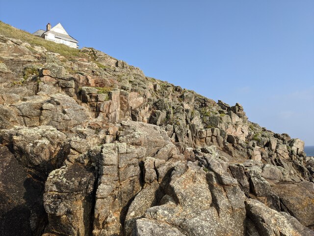
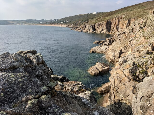
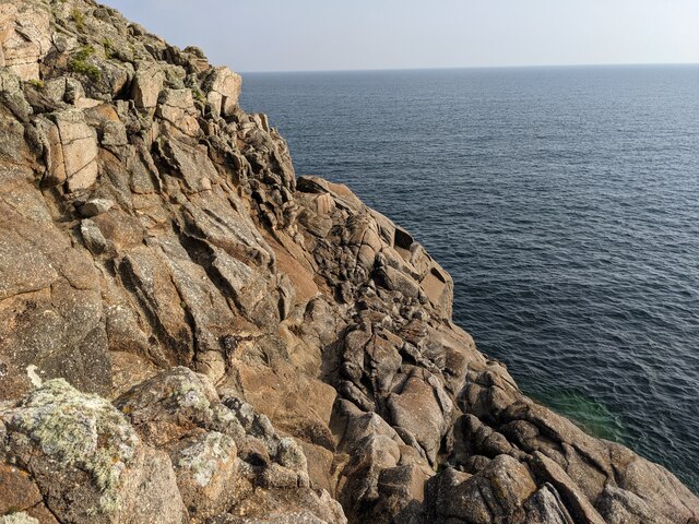
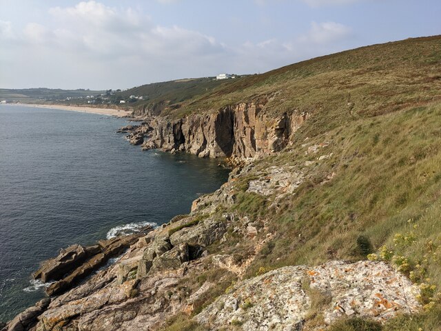
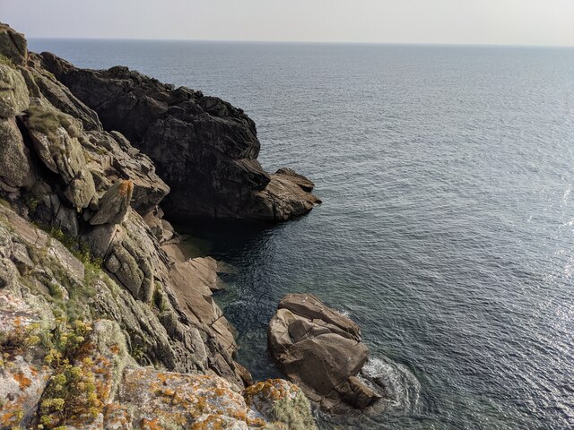
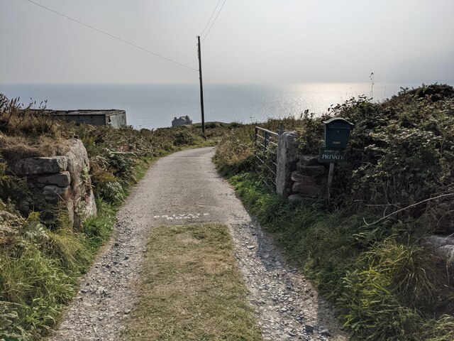
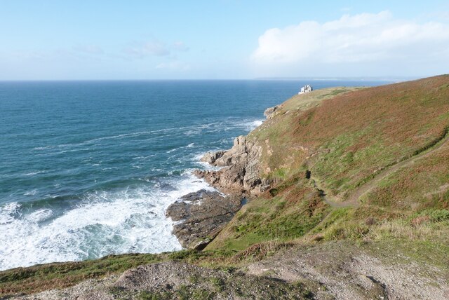
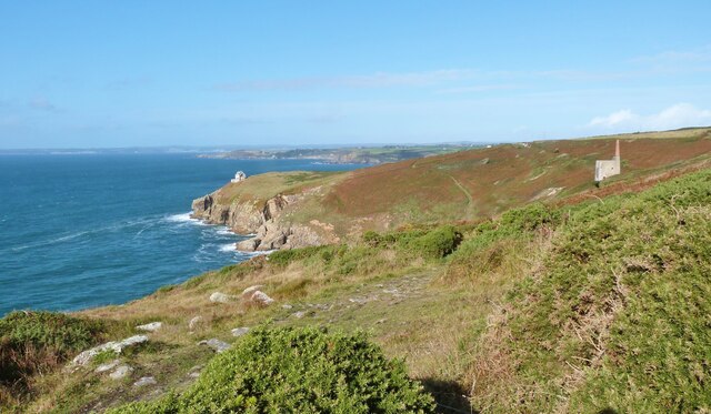
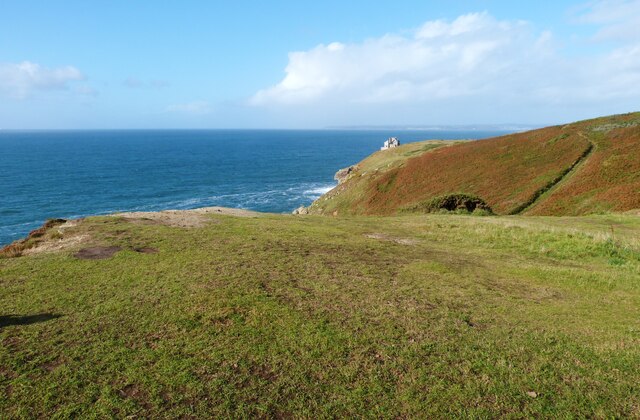
The Bishop is a prominent headland located on the coast of Cornwall, England. It is known for its rugged cliffs, dramatic views, and rich history. The headland gets its name from the distinctive rock formation that resembles a bishop's mitre when viewed from certain angles.
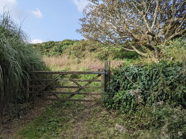
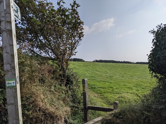
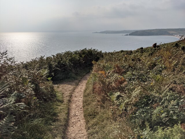
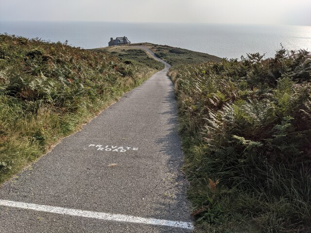
The Bishop is a popular destination for hikers and nature enthusiasts, offering a variety of walking trails that provide stunning panoramic views of the surrounding coastline. The headland is also home to a variety of bird species, making it a prime spot for birdwatching.
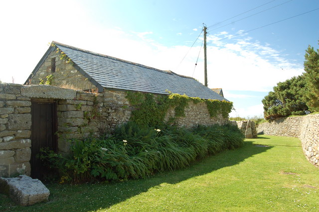
In addition to its natural beauty, The Bishop has a rich cultural heritage. It is home to an ancient chapel, believed to date back to the medieval period, which adds to the headland's mystical and historic allure.
Overall, The Bishop is a must-visit destination for those looking to experience the beauty and history of Cornwall's coastline. Its rugged cliffs, stunning views, and rich cultural heritage make it a truly unique and unforgettable spot on the Cornish coast.
If you have any feedback on the listing, please let us know in the comments section below.
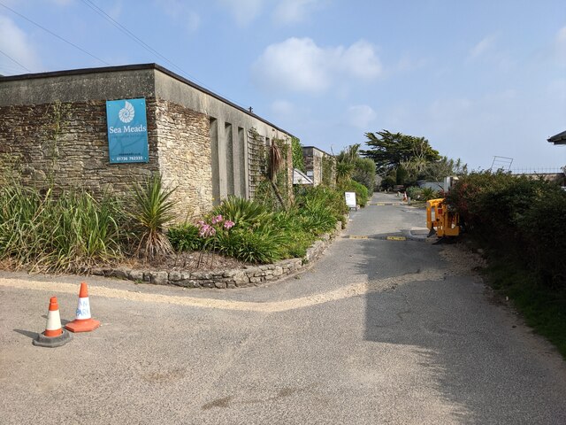
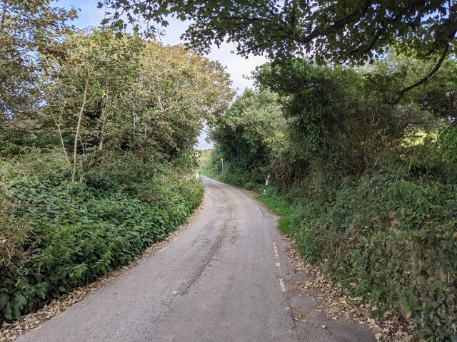
The Bishop Images
Images are sourced within 2km of 50.089514/-5.3598513 or Grid Reference SW5926. Thanks to Geograph Open Source API. All images are credited.
The Bishop is located at Grid Ref: SW5926 (Lat: 50.089514, Lng: -5.3598513)
Unitary Authority: Cornwall
Police Authority: Devon and Cornwall
What 3 Words
///treat.quits.advances. Near Germoe, Cornwall
Nearby Locations
Related Wikis
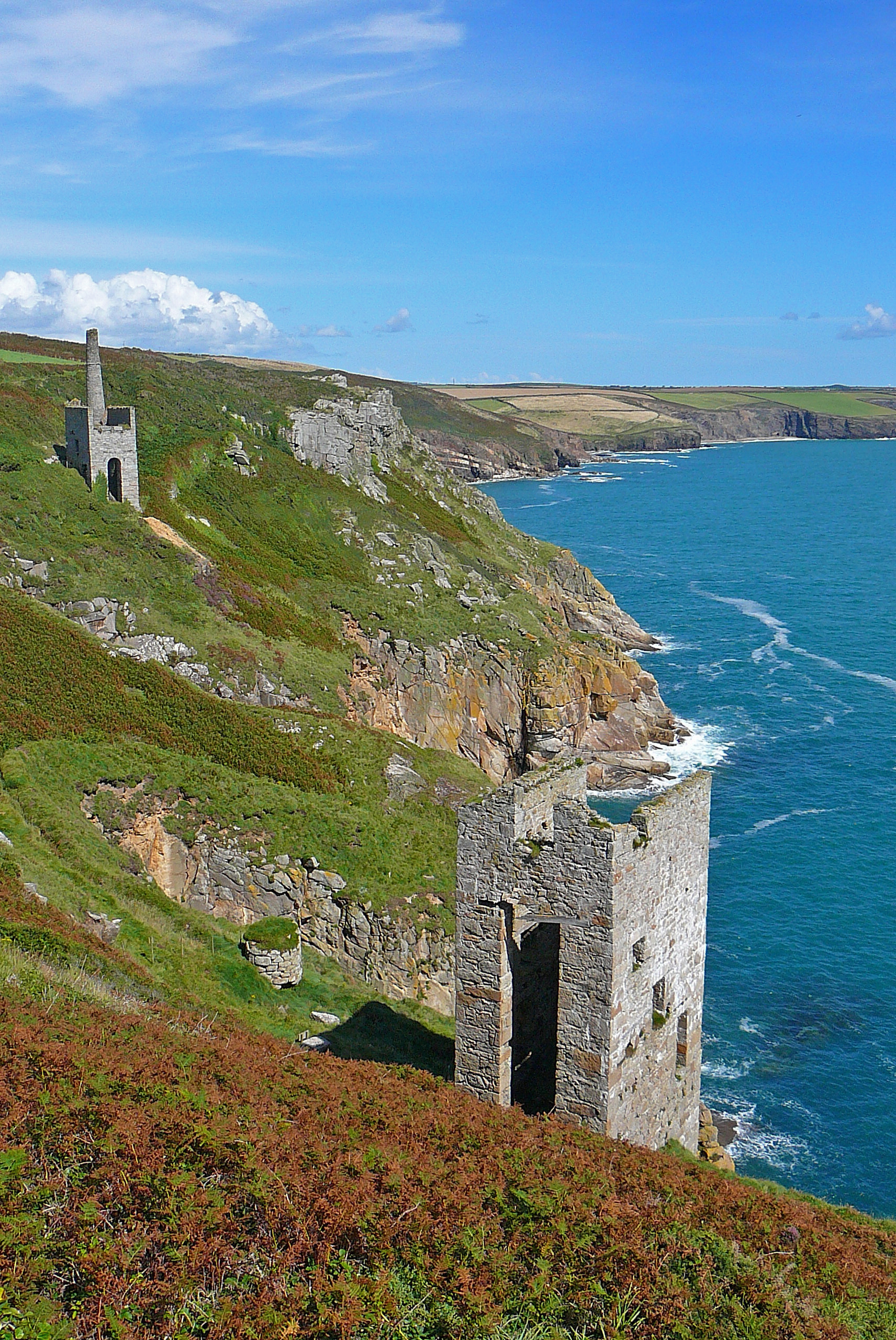
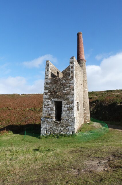
Wheal Trewavas
Wheal Trewavas was a copper mine in Cornwall, England, about 1.5 miles (2.4 km) west of Porthleven. The ruined engine houses remain, on sea cliffs overlooking...

Wheal Prosper, Rinsey
Wheal Prosper was a tin mine in Cornwall, England, a short distance from the hamlet of Rinsey and about 2.5 miles (4 km) west of Porthleven. The ruined...
Rinsey
Rinsey (Cornish: Rynnji) is a hamlet in Cornwall, England, United Kingdom. It is located off the main A394 road between Helston and Penzance in the civil...

Trewithick, Breage
Trewithick is a hamlet in the parish of Breage in Cornwall, England. The hamlet is at the end of Trewithick Road from the A394 (formally known as School...
Nearby Amenities
Located within 500m of 50.089514,-5.3598513Have you been to The Bishop?
Leave your review of The Bishop below (or comments, questions and feedback).