Trewavas Cliff
Cliff, Slope in Cornwall
England
Trewavas Cliff
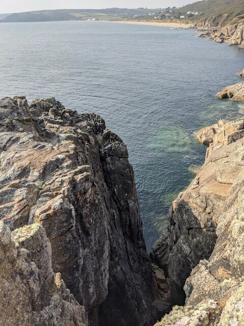
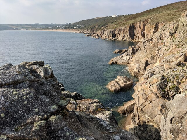
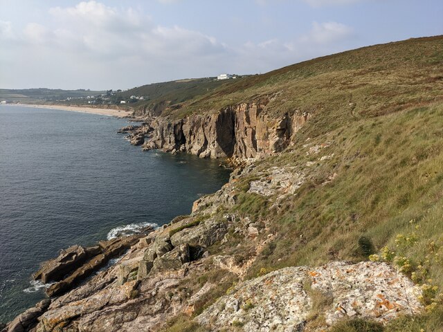
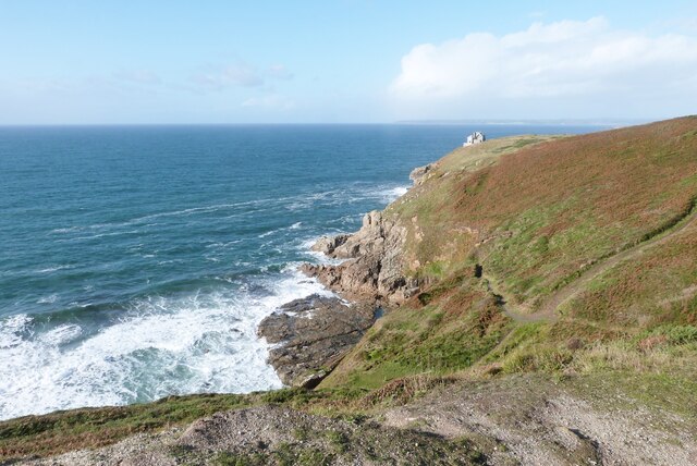
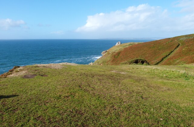
Trewavas Cliff is a prominent cliff located on the western coast of Cornwall, England. It is situated near the village of Trewavas and overlooks Mount's Bay. The cliff is known for its dramatic and rugged appearance, with sheer drops and steep slopes.
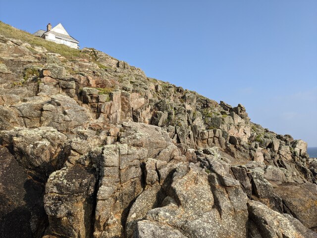
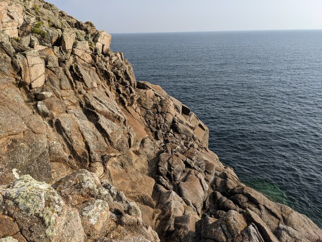
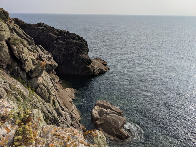
Trewavas Cliff is made up of granite, a common rock type found in Cornwall. The granite cliffs rise to an impressive height of approximately 200 feet (60 meters) above sea level. The cliff face features various interesting geological formations, including fissures, cracks, and weathered surfaces.
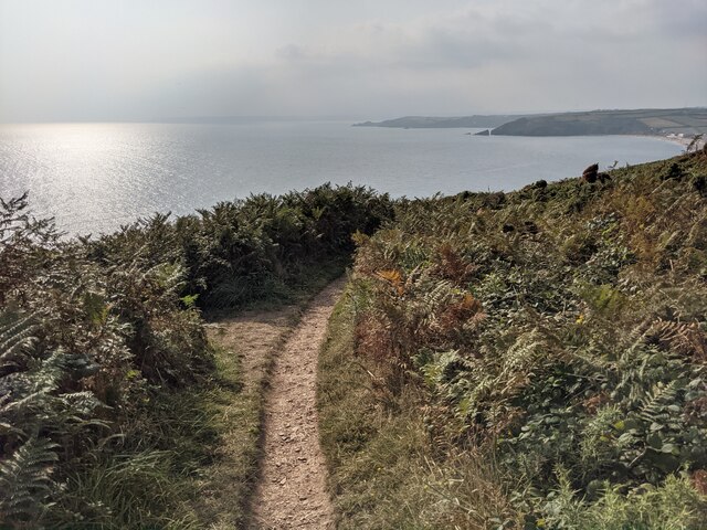
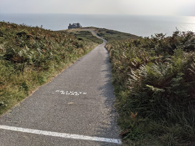
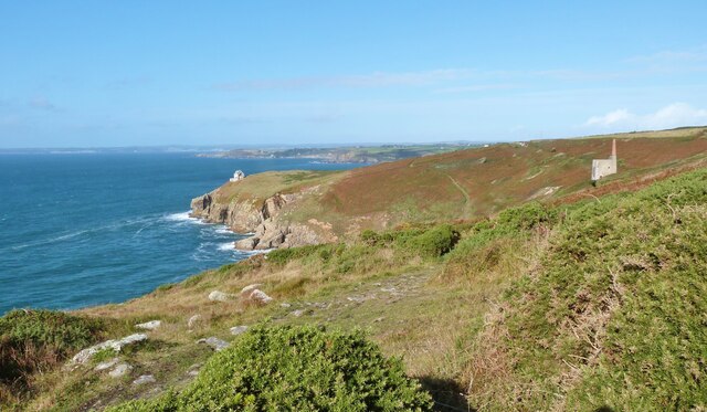
The slope of Trewavas Cliff is covered in a mix of vegetation, including grasses, shrubs, and wildflowers. Despite the challenging conditions, some hardy plants manage to grow on the cliff, adding splashes of color to the rocky landscape.
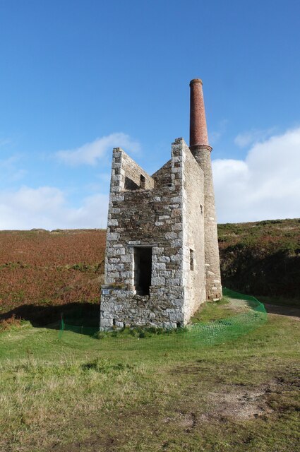
The area surrounding Trewavas Cliff is rich in history and heritage. In the past, the cliff was utilized for mining activities, particularly for tin and copper. Remnants of old mine workings can still be seen in the vicinity.
Visitors to Trewavas Cliff can enjoy breathtaking views of the surrounding coastline and the Atlantic Ocean. The cliff provides an excellent vantage point for watching the waves crash against the rocks below and observing seabirds soaring in the sky.
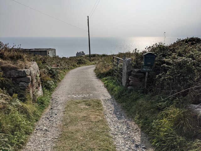
Due to its geological and historical significance, Trewavas Cliff is protected as part of the Cornwall Area of Outstanding Natural Beauty. The cliff attracts hikers, geology enthusiasts, and nature lovers who appreciate the rugged beauty and tranquility it offers.
If you have any feedback on the listing, please let us know in the comments section below.
Trewavas Cliff Images
Images are sourced within 2km of 50.089809/-5.3608508 or Grid Reference SW5926. Thanks to Geograph Open Source API. All images are credited.
Trewavas Cliff is located at Grid Ref: SW5926 (Lat: 50.089809, Lng: -5.3608508)
Unitary Authority: Cornwall
Police Authority: Devon and Cornwall
What 3 Words
///piglets.payer.allergy. Near Germoe, Cornwall
Nearby Locations
Related Wikis
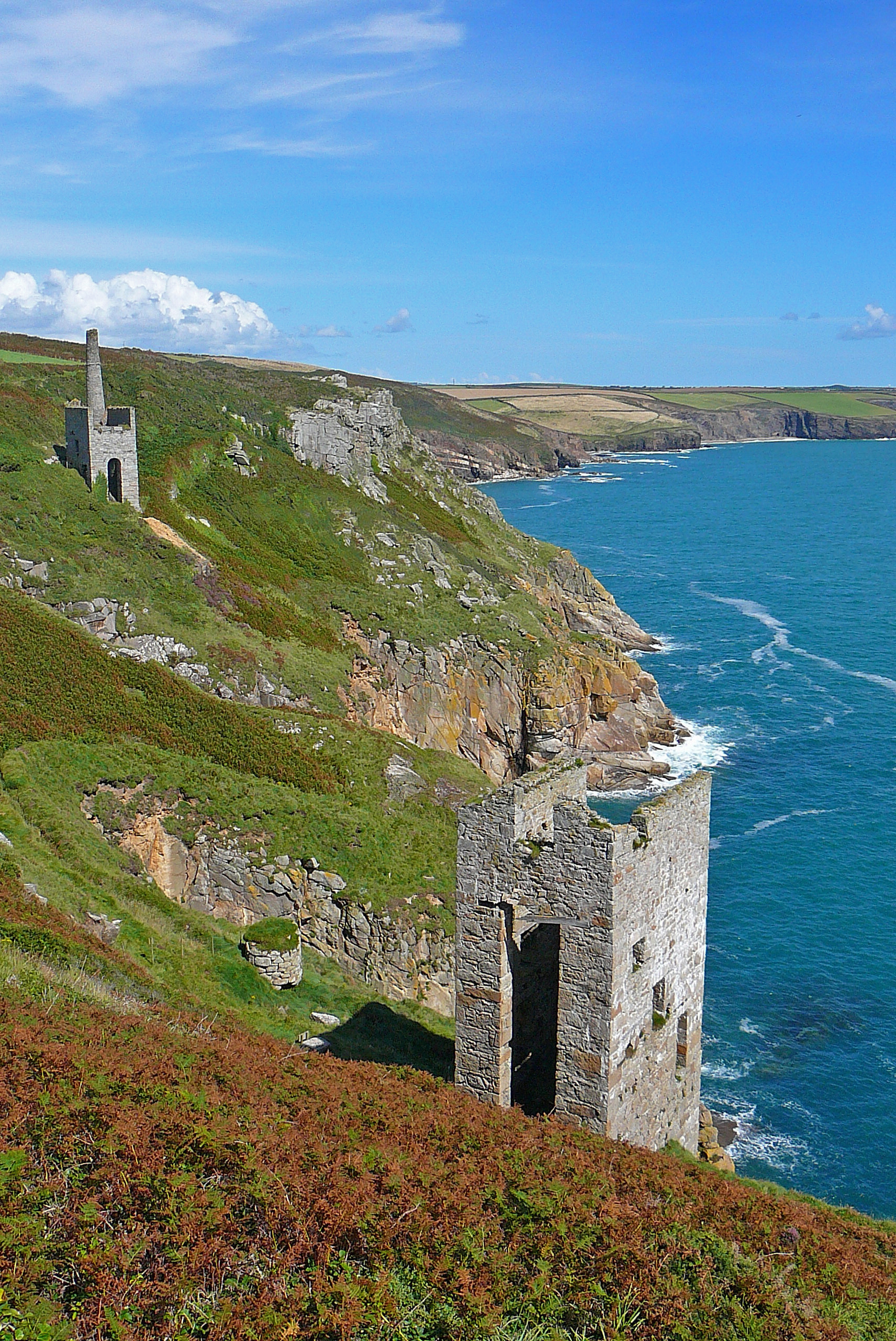
Wheal Trewavas
Wheal Trewavas was a copper mine in Cornwall, England, about 1.5 miles (2.4 km) west of Porthleven. The ruined engine houses remain, on sea cliffs overlooking...

Wheal Prosper, Rinsey
Wheal Prosper was a tin mine in Cornwall, England, a short distance from the hamlet of Rinsey and about 2.5 miles (4 km) west of Porthleven. The ruined...
Rinsey
Rinsey (Cornish: Rynnji) is a hamlet in Cornwall, England, United Kingdom. It is located off the main A394 road between Helston and Penzance in the civil...

Trewithick, Breage
Trewithick is a hamlet in the parish of Breage in Cornwall, England. The hamlet is at the end of Trewithick Road from the A394 (formally known as School...
Nearby Amenities
Located within 500m of 50.089809,-5.3608508Have you been to Trewavas Cliff?
Leave your review of Trewavas Cliff below (or comments, questions and feedback).