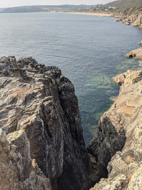
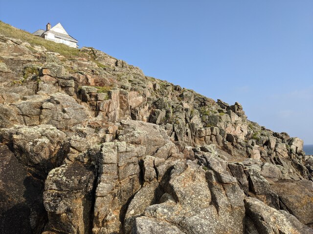
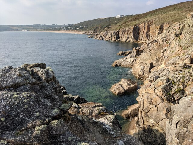
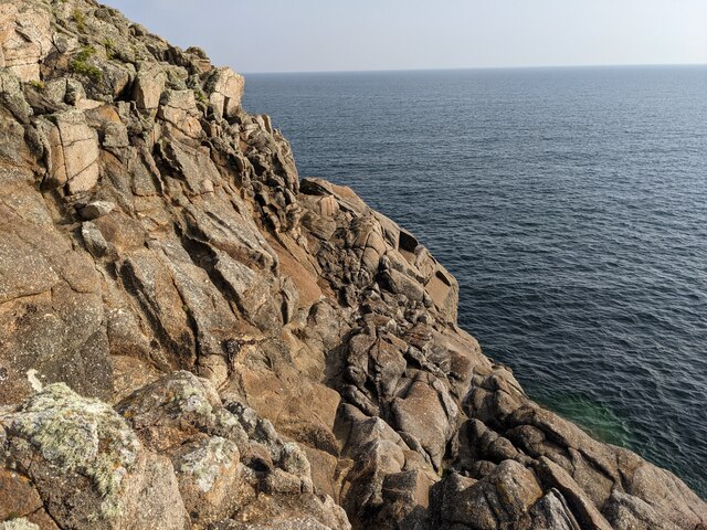
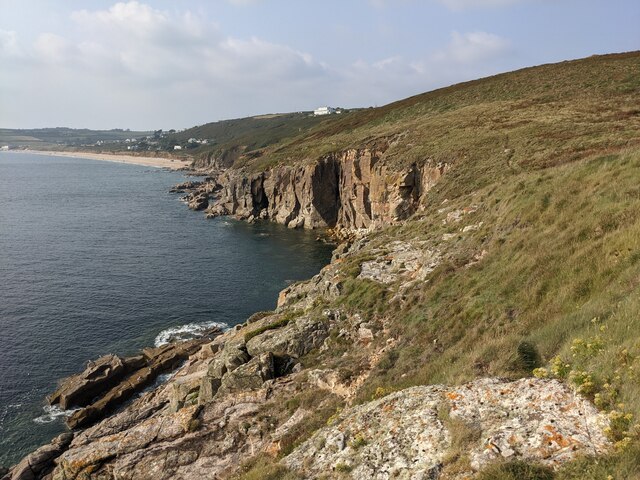
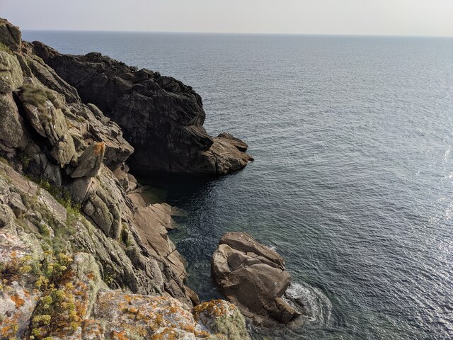
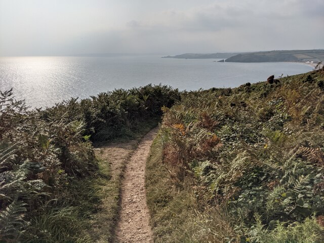
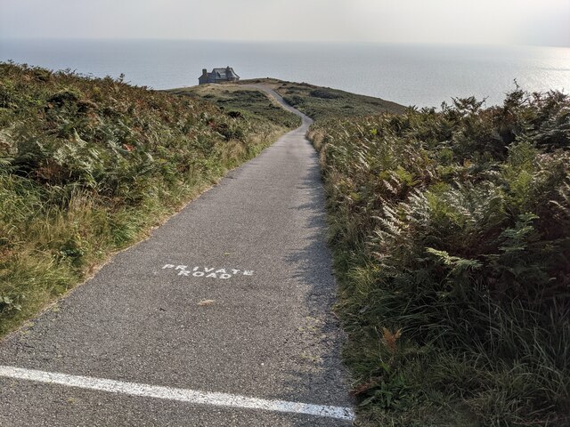
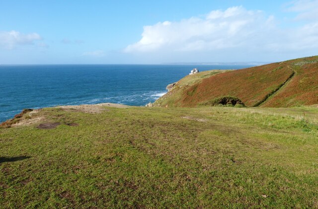
Rinsey East Cliff
Cliff, Slope in Cornwall
England
Rinsey East Cliff
The requested URL returned error: 429 Too Many Requests
If you have any feedback on the listing, please let us know in the comments section below.
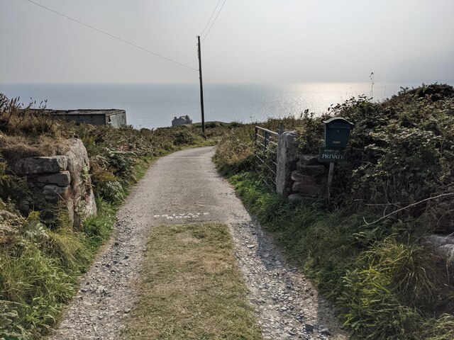
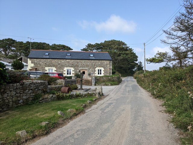
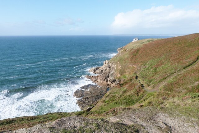
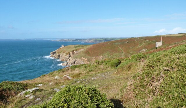
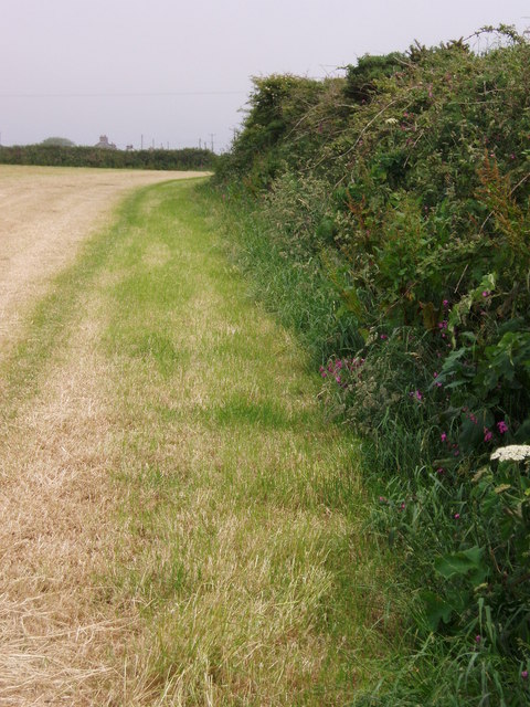
Rinsey East Cliff Images
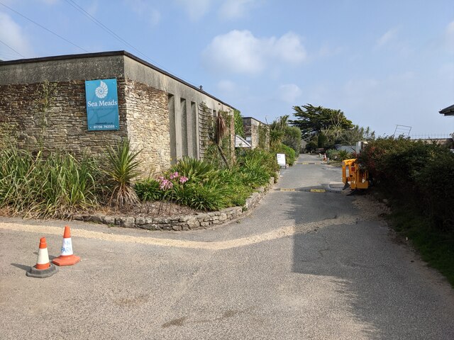
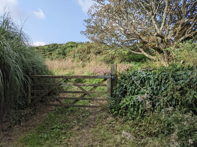
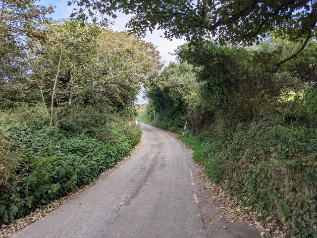
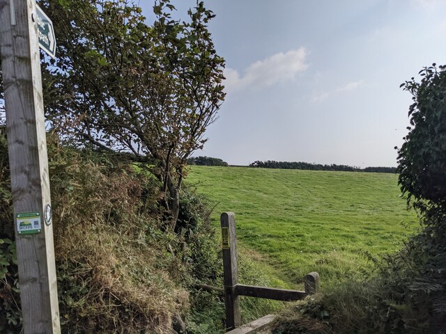
Images are sourced within 2km of 50.092195/-5.3645139 or Grid Reference SW5926. Thanks to Geograph Open Source API. All images are credited.
Rinsey East Cliff is located at Grid Ref: SW5926 (Lat: 50.092195, Lng: -5.3645139)
Unitary Authority: Cornwall
Police Authority: Devon and Cornwall
What 3 Words
///guidebook.overt.flip. Near Germoe, Cornwall
Nearby Locations
Related Wikis

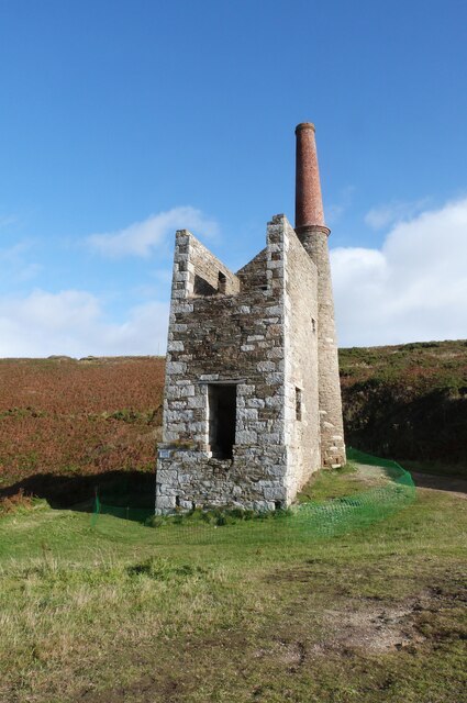
Wheal Prosper, Rinsey
Wheal Prosper was a tin mine in Cornwall, England, a short distance from the hamlet of Rinsey and about 2.5 miles (4 km) west of Porthleven. The ruined...
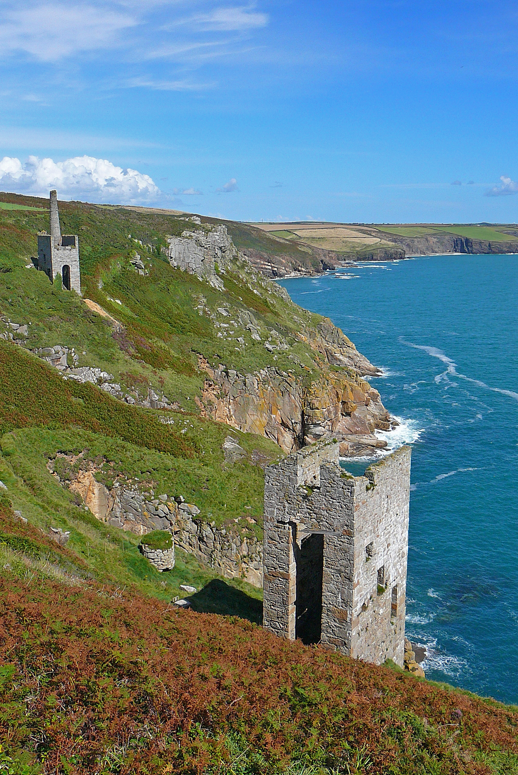
Wheal Trewavas
Wheal Trewavas was a copper mine in Cornwall, England, about 1.5 miles (2.4 km) west of Porthleven. The ruined engine houses remain, on sea cliffs overlooking...
Rinsey
Rinsey (Cornish: Rynnji) is a hamlet in Cornwall, England, United Kingdom. It is located off the main A394 road between Helston and Penzance in the civil...
Rinsey Croft
Rinsey Croft is a hamlet in southwest Cornwall, England. It is located within the civil parish of Breage, 1 mile (1.6 km) west of the village of the same...
Nearby Amenities
Located within 500m of 50.092195,-5.3645139Have you been to Rinsey East Cliff?
Leave your review of Rinsey East Cliff below (or comments, questions and feedback).