Trewavas Head
Coastal Feature, Headland, Point in Cornwall
England
Trewavas Head
Trewavas Head is a prominent headland located on the southwestern coast of Cornwall, England. Situated near the village of Porthleven, it is a popular coastal feature that attracts both locals and tourists.
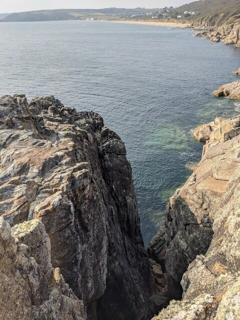
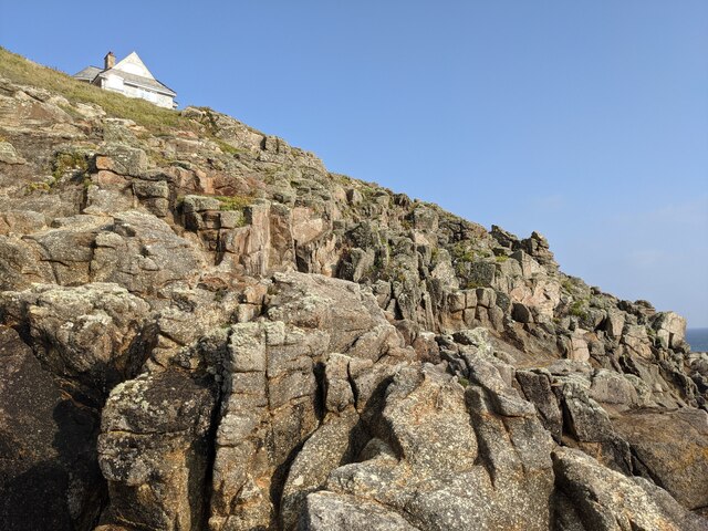
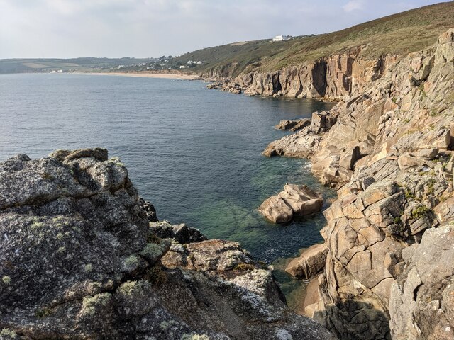
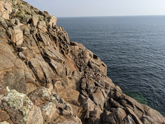
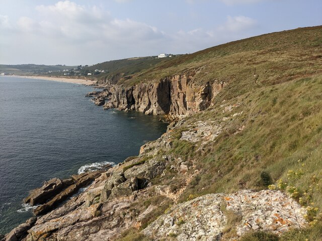
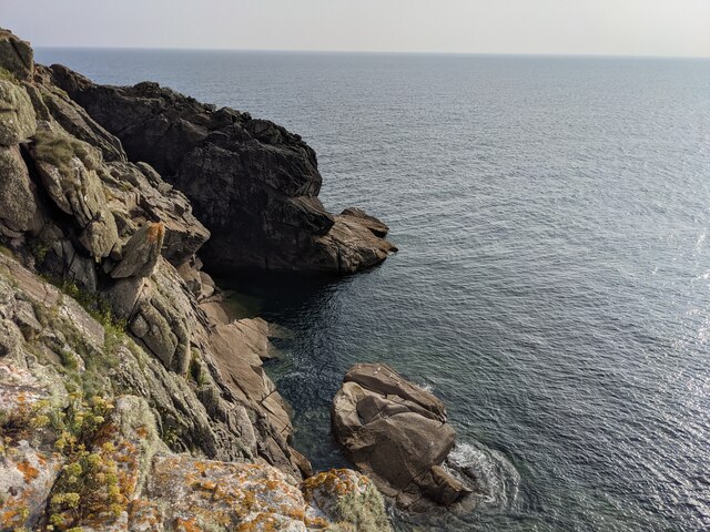
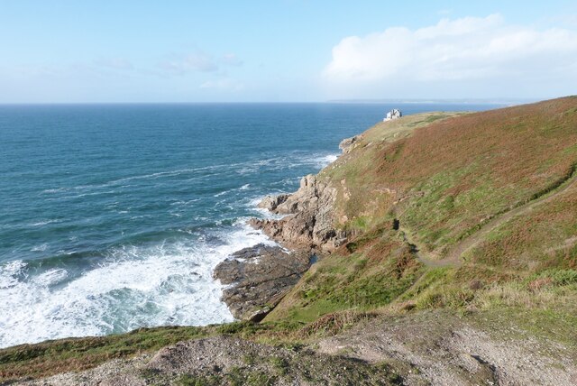
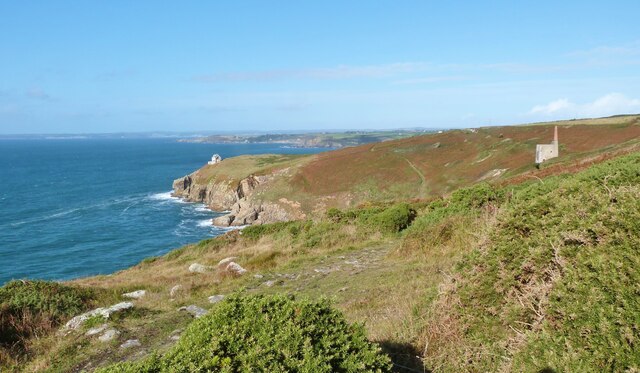
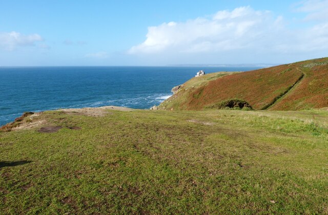
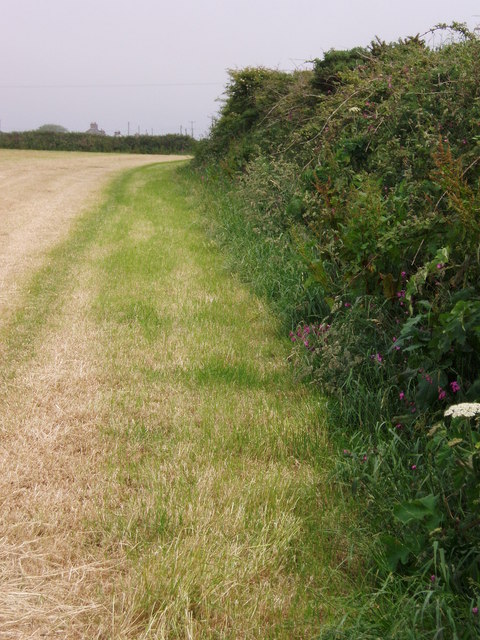
Known for its rugged beauty, Trewavas Head offers breathtaking views of the surrounding landscape. The headland is characterized by steep cliffs that rise dramatically from the sea, reaching heights of up to 200 feet (61 meters). These cliffs are composed of dark, volcanic rocks, which add to the area's distinctive charm.
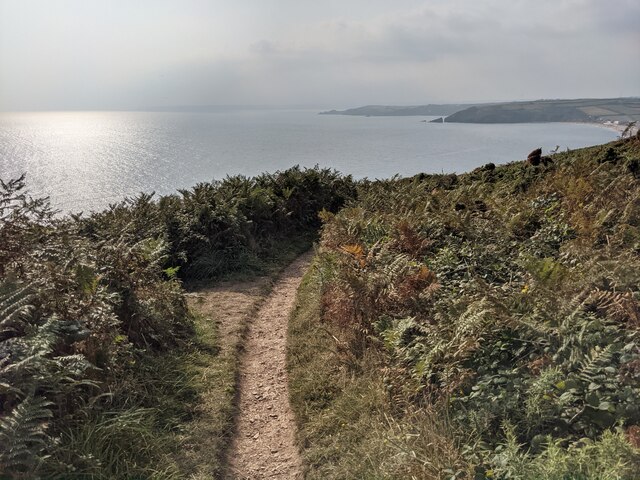
The headland is home to a diverse range of flora and fauna, including several species of seabirds and wildflowers. The coastal path that runs along Trewavas Head provides an excellent opportunity for visitors to observe these creatures in their natural habitat.
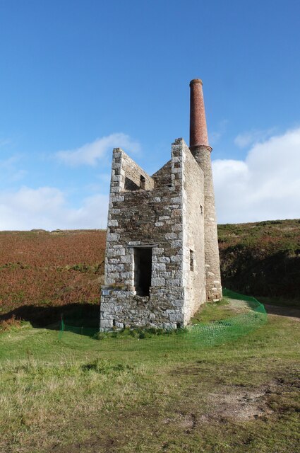
Trewavas Head is also renowned for its rich mining history. In the 19th century, the headland was extensively mined for minerals, particularly copper and tin. The remains of mine shafts and buildings can still be seen today, serving as a reminder of the area's industrial past.
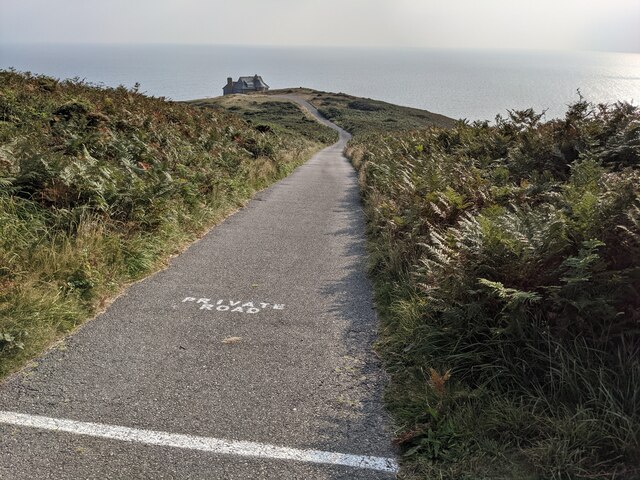
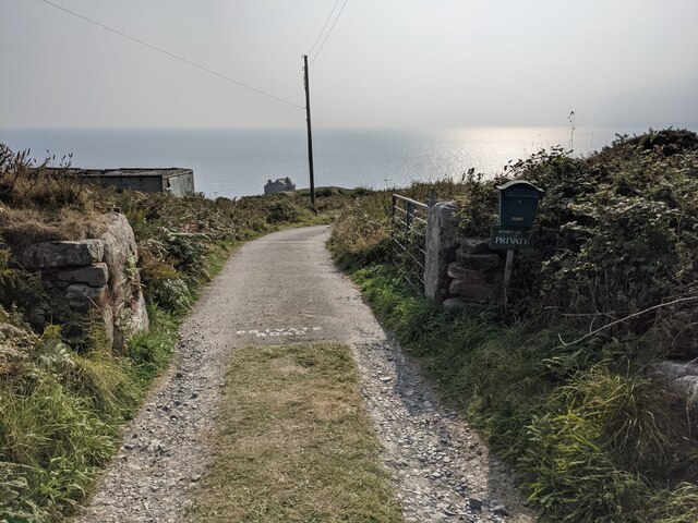
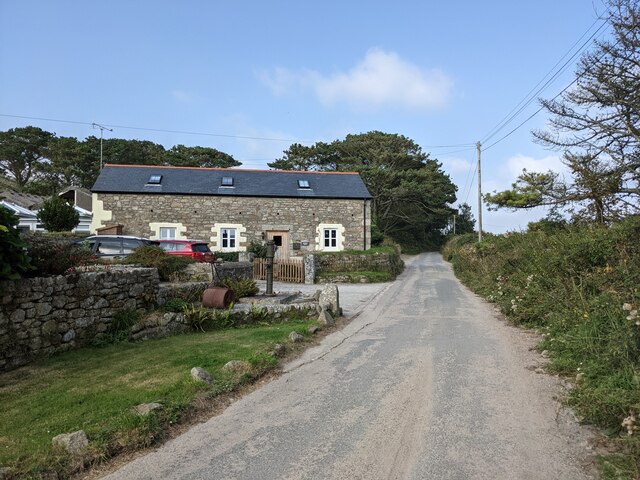
For outdoor enthusiasts, Trewavas Head offers various activities such as hiking, birdwatching, and photography. The headland is easily accessible, with a car park nearby and well-maintained footpaths leading to its summit.
Overall, Trewavas Head is a captivating coastal feature that showcases the rugged beauty and historical significance of Cornwall. Whether for its stunning vistas, diverse wildlife, or intriguing mining heritage, this headland offers a memorable experience for all who visit.
If you have any feedback on the listing, please let us know in the comments section below.
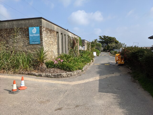
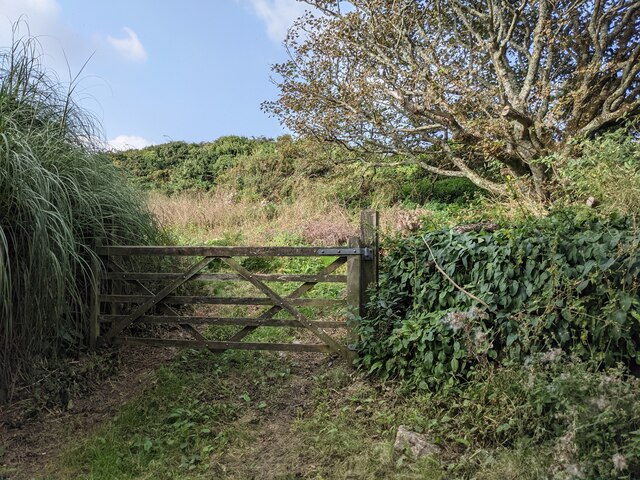
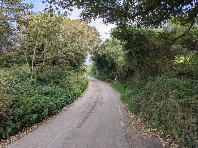
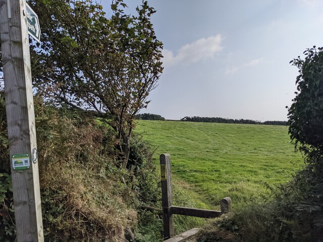
Trewavas Head Images
Images are sourced within 2km of 50.089658/-5.3623364 or Grid Reference SW5926. Thanks to Geograph Open Source API. All images are credited.
Trewavas Head is located at Grid Ref: SW5926 (Lat: 50.089658, Lng: -5.3623364)
Unitary Authority: Cornwall
Police Authority: Devon and Cornwall
What 3 Words
///heightens.quest.cooks. Near Germoe, Cornwall
Nearby Locations
Related Wikis
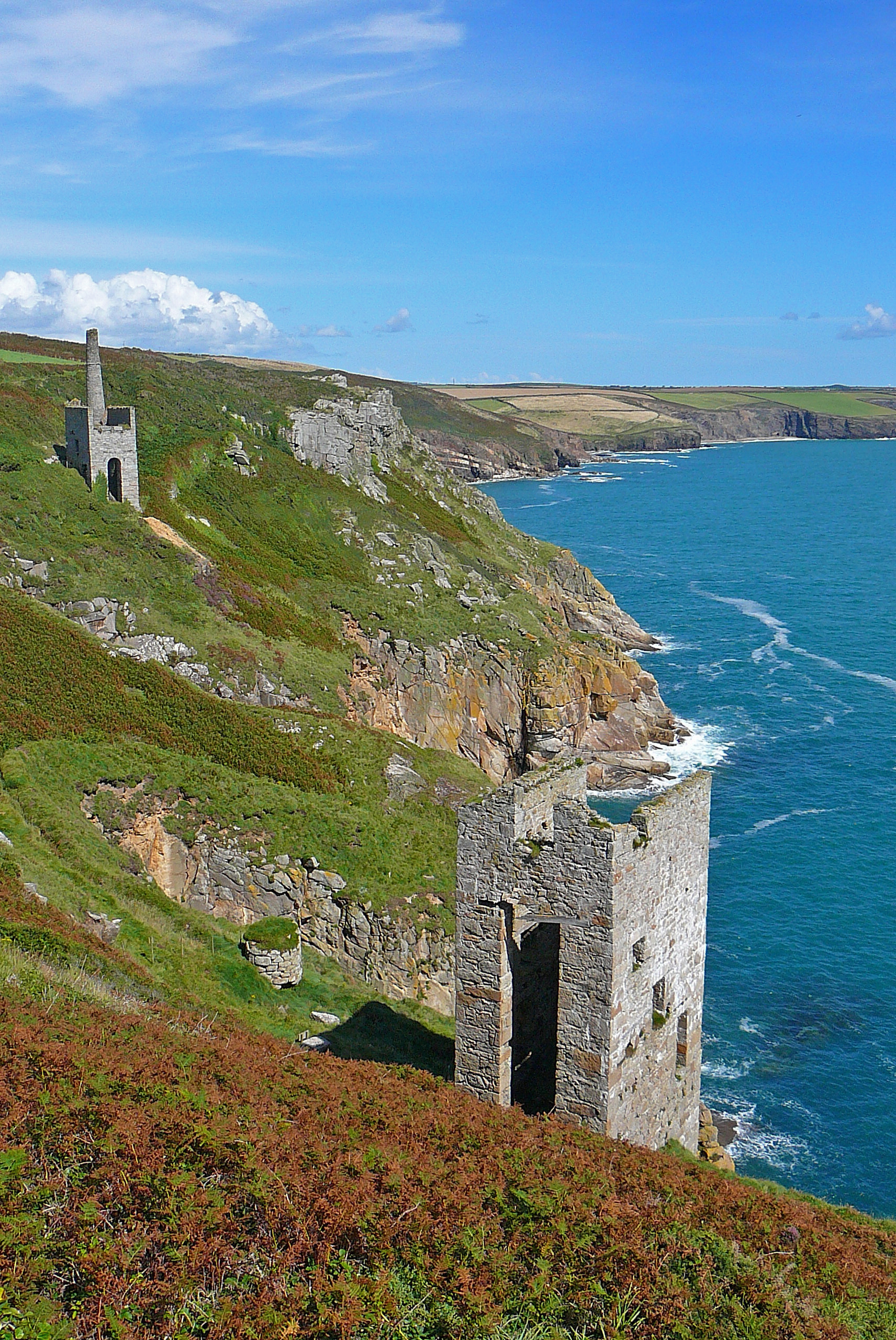
Wheal Trewavas
Wheal Trewavas was a copper mine in Cornwall, England, about 1.5 miles (2.4 km) west of Porthleven. The ruined engine houses remain, on sea cliffs overlooking...

Wheal Prosper, Rinsey
Wheal Prosper was a tin mine in Cornwall, England, a short distance from the hamlet of Rinsey and about 2.5 miles (4 km) west of Porthleven. The ruined...
Rinsey
Rinsey (Cornish: Rynnji) is a hamlet in Cornwall, England, United Kingdom. It is located off the main A394 road between Helston and Penzance in the civil...

Trewithick, Breage
Trewithick is a hamlet in the parish of Breage in Cornwall, England. The hamlet is at the end of Trewithick Road from the A394 (formally known as School...
Rinsey Croft
Rinsey Croft is a hamlet in southwest Cornwall, England. It is located within the civil parish of Breage, 1 mile (1.6 km) west of the village of the same...

Penhale Jakes
Penhale Jakes is a hamlet west of Breage in west Cornwall, England, UK. == References ==

Ashton, Cornwall
Ashton (Cornish: Trevonnen) is a village in the civil parish of Breage, west Cornwall, England, UK at OS grid ref SW604286. It is on the A394 Penzance...

Praa Sands
Praa Sands (Cornish: Poll an Wragh = Salt Pool of the Wrasse), (formerly Prah Sands) commonly pronounced pray or prah, is a white-sand beach and coastal...
Nearby Amenities
Located within 500m of 50.089658,-5.3623364Have you been to Trewavas Head?
Leave your review of Trewavas Head below (or comments, questions and feedback).