Salt Rocks
Cliff, Slope in Cornwall
England
Salt Rocks
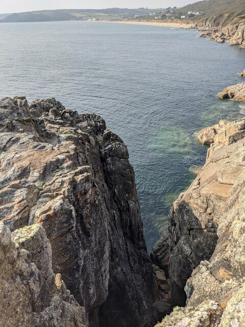
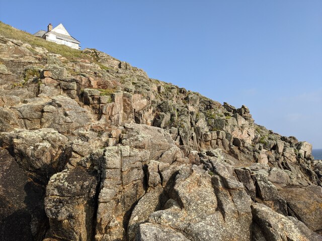
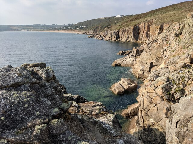
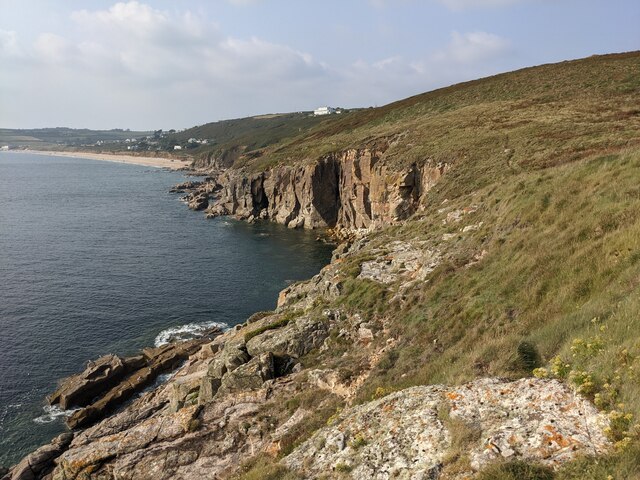
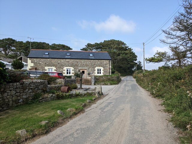
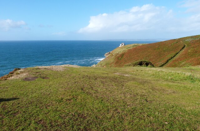
Salt Rocks is a prominent natural feature located in Cornwall, England. It is a cliff and slope formation that stretches along the coastline, attracting visitors with its stunning beauty and geological significance. The rocks are situated near the small village of Saltash, overlooking the picturesque River Tamar.
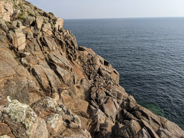
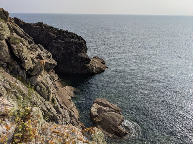
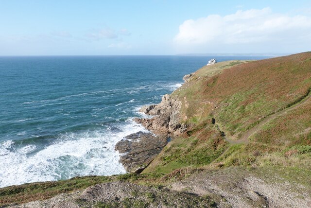
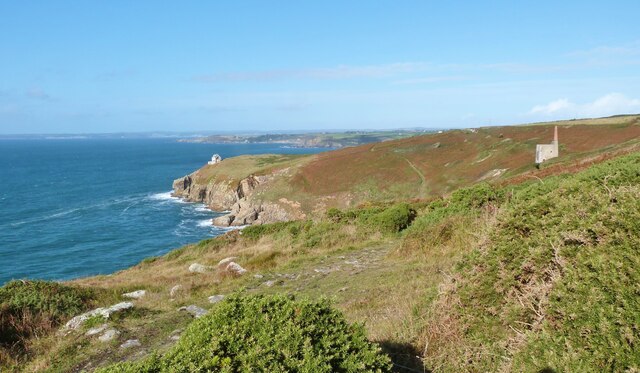
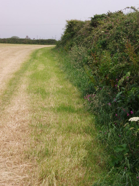
The cliff face of Salt Rocks is composed of sedimentary rocks, primarily consisting of sandstone and shale. Over millions of years, the forces of erosion have shaped the cliffs into a rugged and dramatic landscape. The layers of different rock types can be clearly observed, providing valuable insights into the region's geological history.
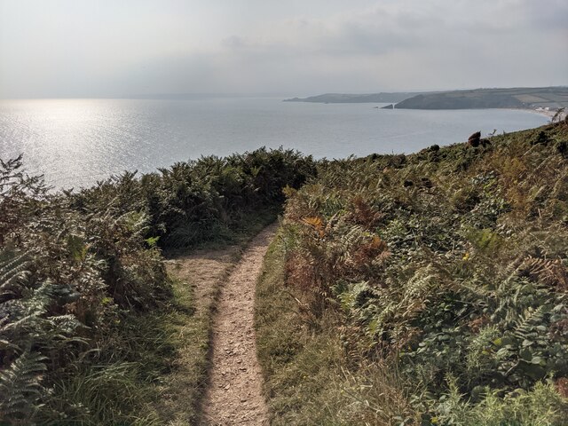
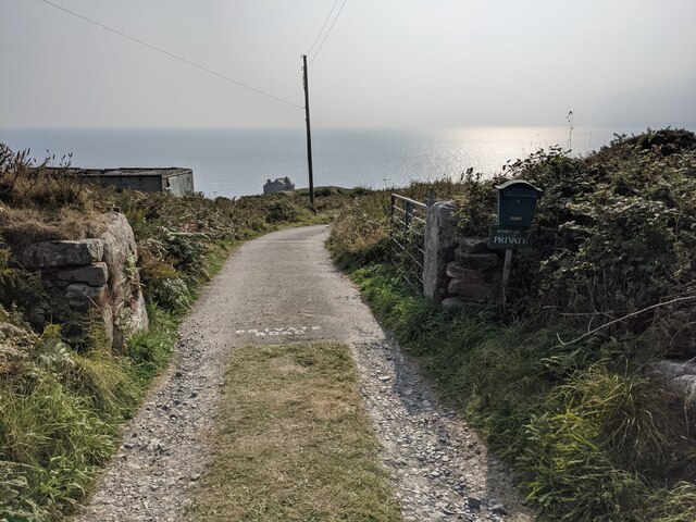
The slope of Salt Rocks descends towards the sea, creating a breathtaking panorama of the surrounding area. The slope is covered with a variety of vegetation, including grasses, shrubs, and wildflowers, adding to the natural splendor of the site. The area is also home to a diverse array of wildlife, with birds frequently nesting in the cliff crevices and marine creatures inhabiting the rock pools at low tide.
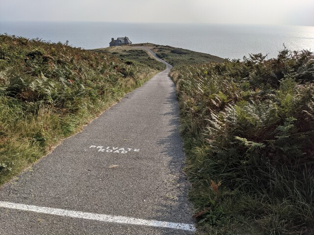
Visitors to Salt Rocks can enjoy a range of recreational activities. The cliff provides an excellent vantage point for birdwatching and taking in the panoramic views of the coastline. Additionally, the slope is a popular spot for hiking and exploring, with several walking trails that wind through the landscape.
Overall, Salt Rocks in Cornwall is a captivating natural wonder, offering a unique blend of geological significance and stunning beauty. It is a must-visit destination for nature enthusiasts and those seeking a tranquil escape in the heart of the British countryside.
If you have any feedback on the listing, please let us know in the comments section below.
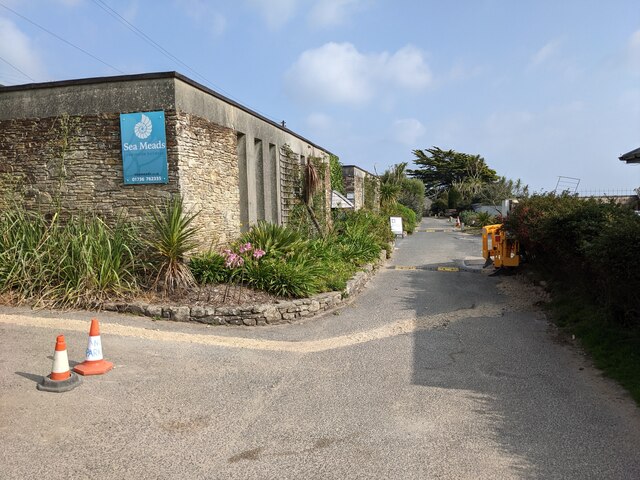
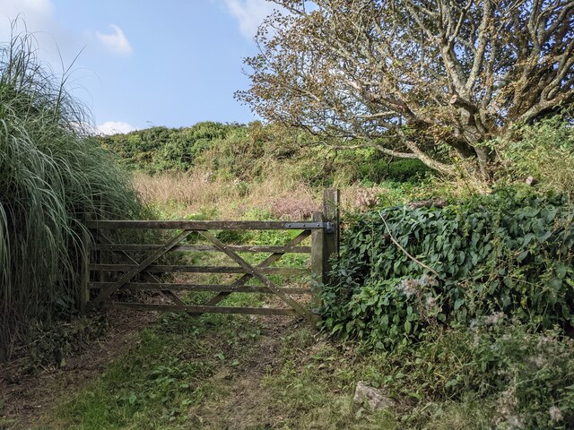
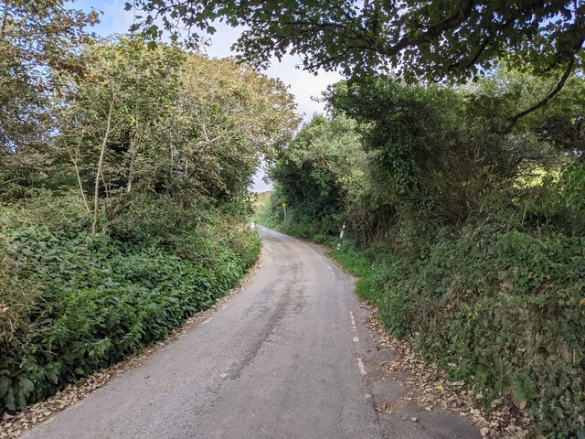
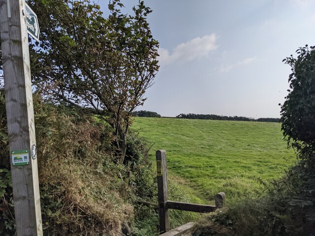
Salt Rocks Images
Images are sourced within 2km of 50.090514/-5.3638646 or Grid Reference SW5926. Thanks to Geograph Open Source API. All images are credited.
Salt Rocks is located at Grid Ref: SW5926 (Lat: 50.090514, Lng: -5.3638646)
Unitary Authority: Cornwall
Police Authority: Devon and Cornwall
What 3 Words
///trucked.iceberg.chatters. Near Germoe, Cornwall
Nearby Locations
Related Wikis
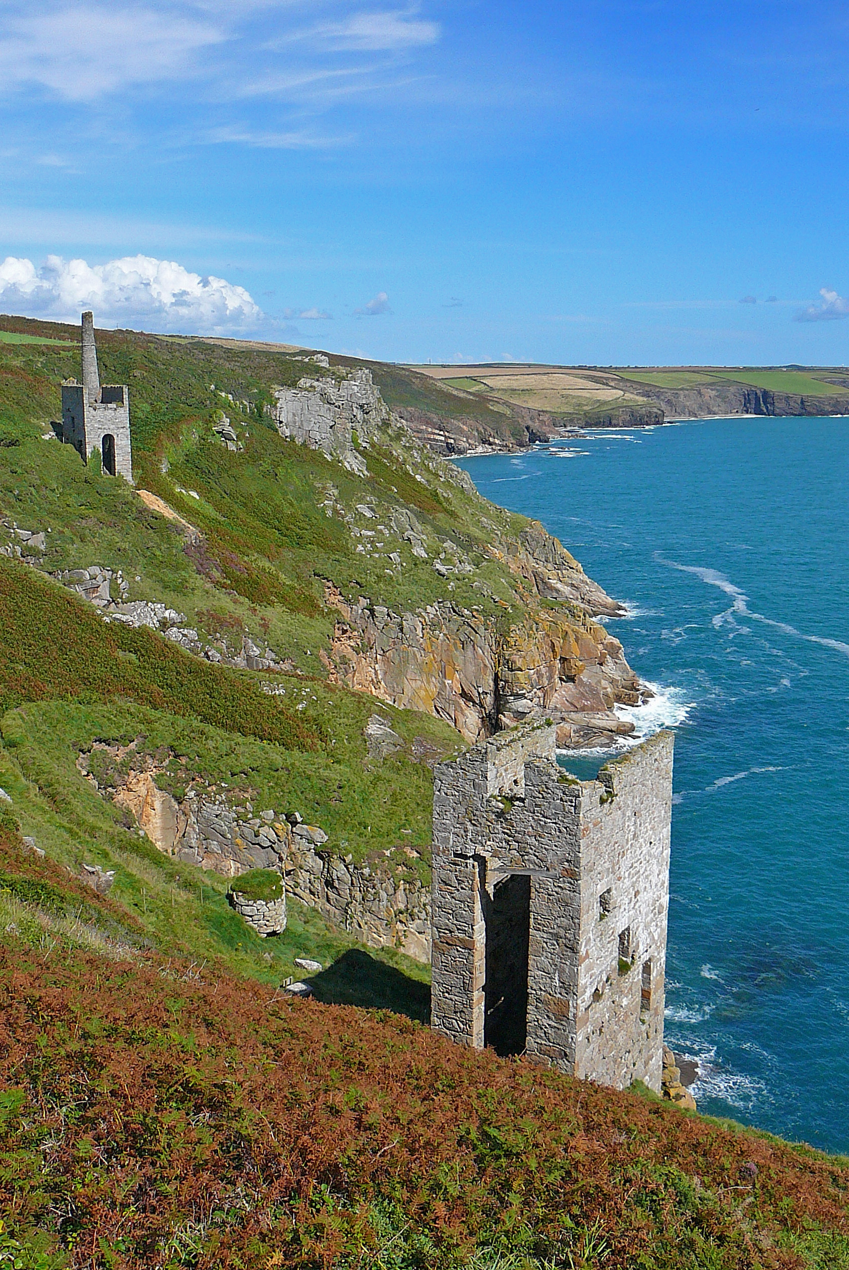
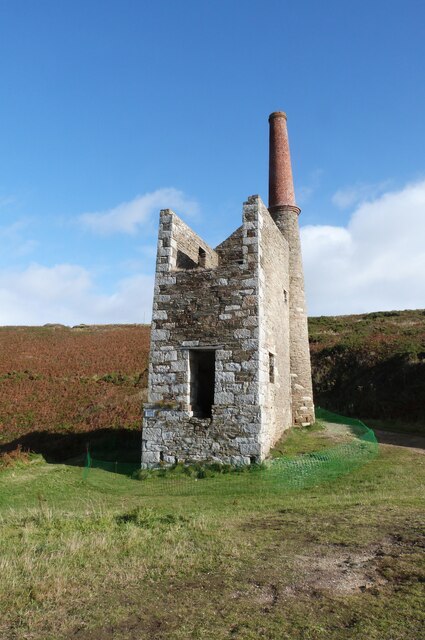
Wheal Trewavas
Wheal Trewavas was a copper mine in Cornwall, England, about 1.5 miles (2.4 km) west of Porthleven. The ruined engine houses remain, on sea cliffs overlooking...

Wheal Prosper, Rinsey
Wheal Prosper was a tin mine in Cornwall, England, a short distance from the hamlet of Rinsey and about 2.5 miles (4 km) west of Porthleven. The ruined...
Rinsey
Rinsey (Cornish: Rynnji) is a hamlet in Cornwall, England, United Kingdom. It is located off the main A394 road between Helston and Penzance in the civil...
Rinsey Croft
Rinsey Croft is a hamlet in southwest Cornwall, England. It is located within the civil parish of Breage, 1 mile (1.6 km) west of the village of the same...
Nearby Amenities
Located within 500m of 50.090514,-5.3638646Have you been to Salt Rocks?
Leave your review of Salt Rocks below (or comments, questions and feedback).