Geodh' a' Mhaide
Coastal Feature, Headland, Point in Ross-shire
Scotland
Geodh' a' Mhaide

Geodh' a' Mhaide is a prominent coastal feature located in Ross-shire, Scotland. It is classified as a headland or point, jutting out into the North Atlantic Ocean. The name "Geodh' a' Mhaide" translates to "The Bay of the Sticks" in English, referencing the wooden poles that were once used to mark the location for fishermen.
Situated in a remote and rugged part of the Scottish Highlands, Geodh' a' Mhaide offers breathtaking views of the surrounding landscape. The headland is characterized by steep cliffs and jagged rocks, which have been shaped by the relentless force of the ocean over millions of years. The area is known for its dramatic coastal scenery, with crashing waves, sea caves, and natural arches adding to its allure.
The headland is also home to a diverse range of flora and fauna. Seabirds, such as guillemots and kittiwakes, nest on the cliffs, while seals and dolphins can often be spotted in the waters below. The surrounding grasslands are home to a variety of wildflowers and grasses, adding a splash of color to the rugged landscape.
Geodh' a' Mhaide is a popular destination for nature enthusiasts, hikers, and photographers. Its remote location ensures a peaceful and serene environment, offering visitors a chance to escape the hustle and bustle of everyday life. It is a place where one can immerse themselves in the raw beauty of the Scottish coastline and experience the power of the natural world.
If you have any feedback on the listing, please let us know in the comments section below.
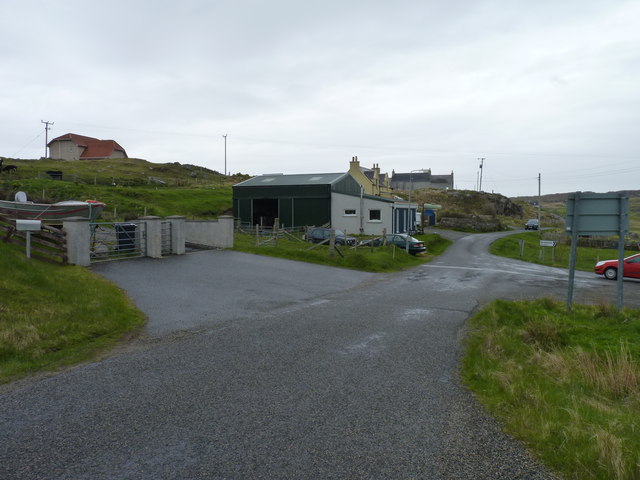
Geodh' a' Mhaide Images
Images are sourced within 2km of 58.295154/-6.8032767 or Grid Reference NB1844. Thanks to Geograph Open Source API. All images are credited.


Geodh' a' Mhaide is located at Grid Ref: NB1844 (Lat: 58.295154, Lng: -6.8032767)
Unitary Authority: Na h-Eileanan an Iar
Police Authority: Highlands and Islands
What 3 Words
///first.bleat.deferring. Near Carloway, Na h-Eileanan Siar
Related Wikis

Garenin
Garenin (Scottish Gaelic: Na Gearrannan) is a crofting township on the west coast of the Isle of Lewis in the Outer Hebrides of Scotland. Garenin is in...

Borrowston, Lewis
Borrowston (Scottish Gaelic: Borghastan), with a population of about 50, is a crofting township situated on the Isle of Lewis, on the Outer Hebrides of...

Carloway
Carloway (Scottish Gaelic: Càrlabhagh [ˈkʰaːɾɫ̪ə.ɤː]) is a crofting township and a district on the west coast of the Isle of Lewis, in the Outer Hebrides...

Dun Carloway
Dun Carloway (Scottish Gaelic: Dùn Chàrlabhaigh) is a broch situated in the district of Carloway, on the west coast of the Isle of Lewis, Scotland (grid...
Nearby Amenities
Located within 500m of 58.295154,-6.8032767Have you been to Geodh' a' Mhaide?
Leave your review of Geodh' a' Mhaide below (or comments, questions and feedback).