Geodha Dubh

Coastal Feature, Headland, Point in Inverness-shire

Scotland

Geodha Dubh

Loch Phlocrapoil This is one of the larger lochs on the route of the Golden Road.
Loch Phlocrapoil Credit: Anne Burgess

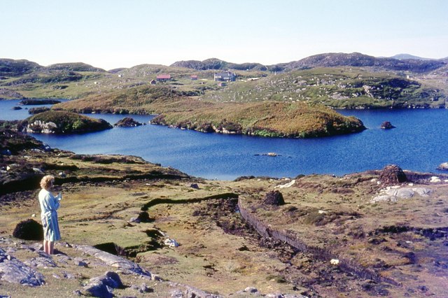
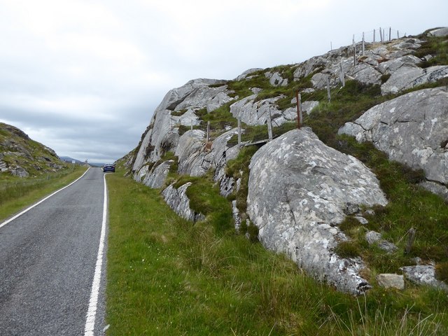
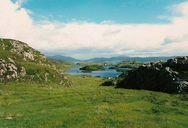
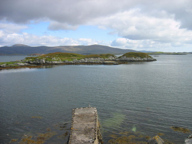
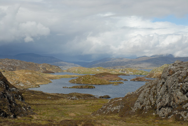
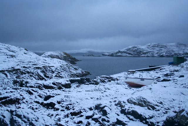
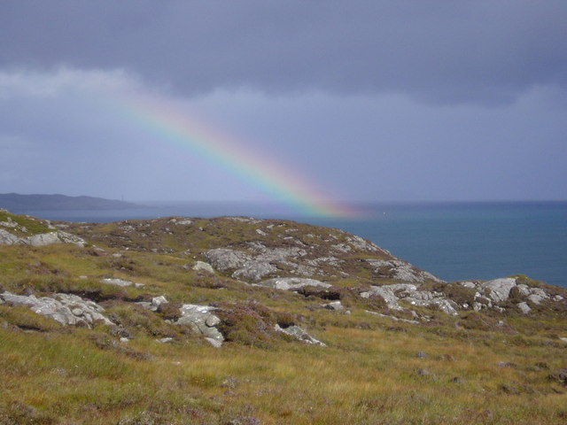
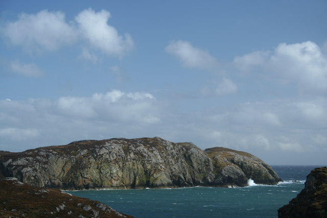
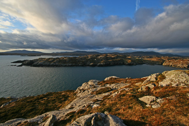
Geodha Dubh is a prominent coastal feature located in Inverness-shire, Scotland. It is a headland or point situated on the western coast of the Scottish Highlands, offering breathtaking views of the surrounding landscape and the North Atlantic Ocean. Geodha Dubh is known for its rugged cliffs, rocky shores, and picturesque scenery.

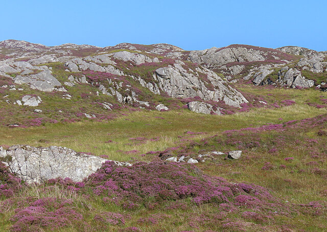
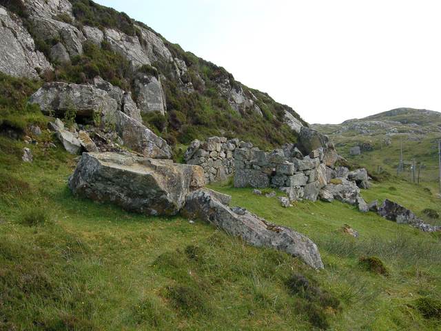
The headland is characterized by its steep cliffs that rise dramatically from the sea, reaching impressive heights of up to 100 meters in some areas. These cliffs are made of ancient rocks, with layers of sedimentary formations that date back millions of years. The dark grey color of the rocks gives the headland its name, as "Geodha Dubh" translates to "black cove" in Gaelic.

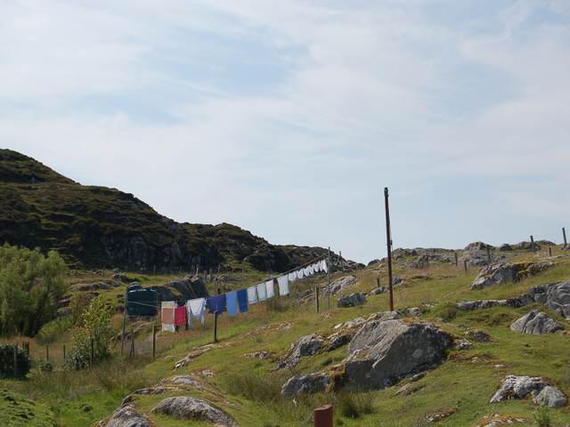
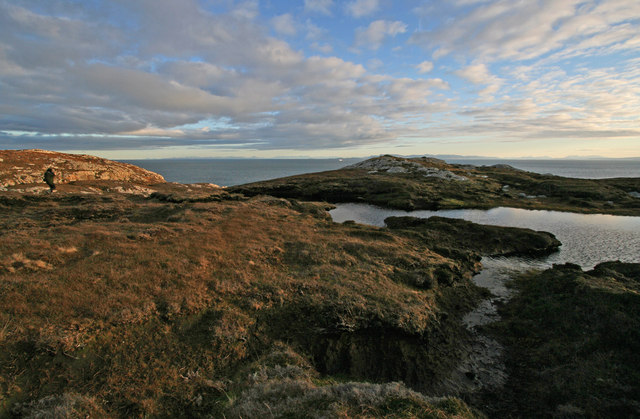
The point is a haven for wildlife enthusiasts and nature lovers, as it is home to a diverse range of flora and fauna. Seabirds such as fulmars, kittiwakes, and guillemots can be seen nesting on the cliffs, while seals and dolphins occasionally visit the waters surrounding Geodha Dubh. The headland also offers opportunities for coastal walks, allowing visitors to explore the rugged coastline and enjoy the panoramic views.

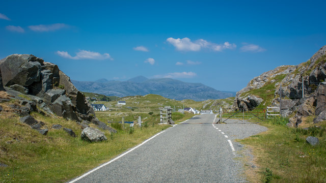
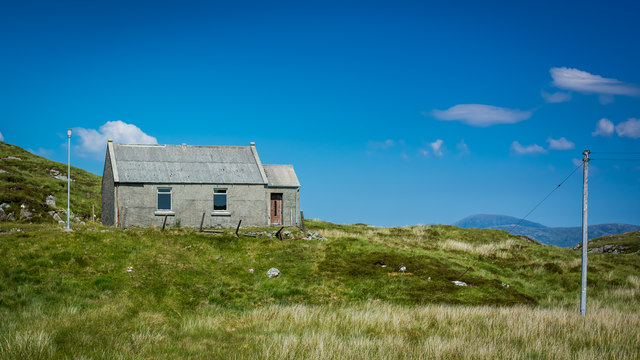
Geodha Dubh is easily accessible by road and is located near the village of Altandhu. The surrounding area is known for its tranquility and natural beauty, making it a popular destination for those seeking an escape from the hustle and bustle of city life. Whether it's to admire the stunning cliffs, spot wildlife, or simply soak in the peaceful atmosphere, Geodha Dubh offers a captivating experience for visitors of all ages.

If you have any feedback on the listing, please let us know in the comments section below.

Geodha Dubh Images

Images are sourced within 2km of 57.826474/-6.74068 or Grid Reference NG1891. Thanks to Geograph Open Source API. All images are credited.

Loch Phlocrapoil This is one of the larger lochs on the route of the Golden Road.
Loch Phlocrapoil
This is one of the larger lochs on the route of the Golden Road.
Lewisian Gneiss This is classic Lewisian Gneiss, in irregular outcrops smoothed by the glaciers of the last (and no doubt previous) Ice Ages.
Lewisian Gneiss
This is classic Lewisian Gneiss, in irregular outcrops smoothed by the glaciers of the last (and no doubt previous) Ice Ages.
Loch Plocrapol at Scadabay
Cattle grid on the Golden Road
Abandoned Kirk at Scadabay
Ice-sculpted rock next to minor road at Scadabay
Washing at Scadabhagh Taking advantage of a good drying day.
Washing at Scadabhagh
Taking advantage of a good drying day.
Old building at Scadabhagh A drystone construction of partly dressed gneiss using a small cliff for support. I would think agricultural rather than residential, and probably relatively recent.
Old building at Scadabhagh
A drystone construction of partly dressed gneiss using a small cliff for support. I would think agricultural rather than residential, and probably relatively recent.
Southern end of Loch Plocrapool
Plocrapol, Harris Tweed weaving
Plocrapol Bay
Plocrapol Bay
Loch Procrapoil from the South Mid afternoon shot in Mid May. Clear identification of the small islands in the foreground.
Loch Procrapoil from the South
Mid afternoon shot in Mid May. Clear identification of the small islands in the foreground.
Snow at Plocrapol Snow very rarely settles in Harris, due to the warm Atlantic. This view of Plocrapol Bay is therefore most unusual.
Snow at Plocrapol
Snow very rarely settles in Harris, due to the warm Atlantic. This view of Plocrapol Bay is therefore most unusual.
The slopes of Cleit a Bhraigh Looking over the gneiss landscape of South Harris, across the mouth of East Loch Tarbert towards Scalpay & Eilean Glas lighthouse.
The slopes of Cleit a Bhraigh
Looking over the gneiss landscape of South Harris, across the mouth of East Loch Tarbert towards Scalpay & Eilean Glas lighthouse.
Looking across Loch na h-Uamha The cliffs on the east shore of Loch na h-Uamha, near Scadabhagh, Harris.
Looking across Loch na h-Uamha
The cliffs on the east shore of Loch na h-Uamha, near Scadabhagh, Harris.
View across Loch na h-Uamha to Aird Bheag Loch na h-Uamha & Aird Bheag are the main features of this square. They are typical of the scenery in the Bays of Harris. In the foreground is the small amount of the peninsula of Reibinis that falls within this square.
View across Loch na h-Uamha to Aird Bheag
Loch na h-Uamha & Aird Bheag are the main features of this square. They are typical of the scenery in the Bays of Harris. In the foreground is the small amount of the peninsula of Reibinis that falls within this square.
The terrain on the peninsula of Reibinis This peninsula never seems crowded! The boggy foreground is not unusual hereabouts. In the background is The Minch, with the ferry "Hebrides" approaching Harris. In the far background the mountains of the Fisherfield Forest, on the mainland, can be seen.
The terrain on the peninsula of Reibinis
This peninsula never seems crowded! The boggy foreground is not unusual hereabouts. In the background is The Minch, with the ferry "Hebrides" approaching Harris. In the far background the mountains of the Fisherfield Forest, on the mainland, can be seen.
Loch na h-Uamha A glimpse into the loch from the East Harris road near Scadabhagh.
Loch na h-Uamha
A glimpse into the loch from the East Harris road near Scadabhagh.
Show me another place!

Geodha Dubh is located at Grid Ref: NG1891 (Lat: 57.826474, Lng: -6.74068)

Unitary Authority: Na h-Eileanan an Iar

Police Authority: Highlands and Islands

What 3 Words

///book.masterful.baker. Near Tarbert, Na h-Eileanan Siar

Related Wikis

East Loch Tarbert

East Loch Tarbert (Scottish Gaelic: Loch an Tairbeairt) is a sea loch that lies to the east of Harris in the Outer Hebrides of Scotland. The loch contains...

Stockinish Island

Stockinish Island (Scottish Gaelic: Eilean Stocainis) is an uninhabited island off Harris, in the Outer Hebrides. == Geography and geology == Stockinish...

Scalpay, Outer Hebrides

Scalpay (; Scottish Gaelic: Sgalpaigh or Sgalpaigh na Hearadh; i.e. "Scalpay of Harris" to distinguish it from Scalpay off Skye) is an island in the Outer...

Sgeotasaigh

Scotasay (Scottish Gaelic: Sgeotasaigh) is small island in the Outer Hebrides of Scotland. It lies 1 kilometre (0.6 miles) off the east coast of Harris...

Have you been to Geodha Dubh?

Leave your review of Geodha Dubh below (or comments, questions and feedback).