Rubha Bhocaig

Coastal Feature, Headland, Point in Inverness-shire

Scotland

Rubha Bhocaig

Loch Phlocrapoil This is one of the larger lochs on the route of the Golden Road.
Loch Phlocrapoil Credit: Anne Burgess

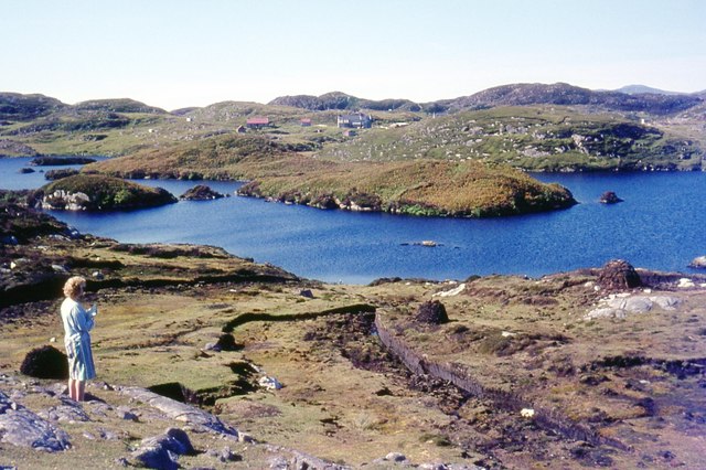
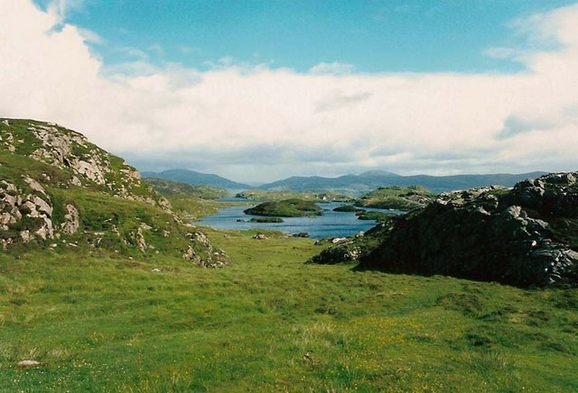
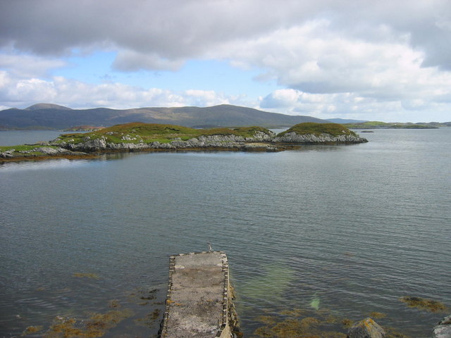
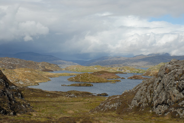
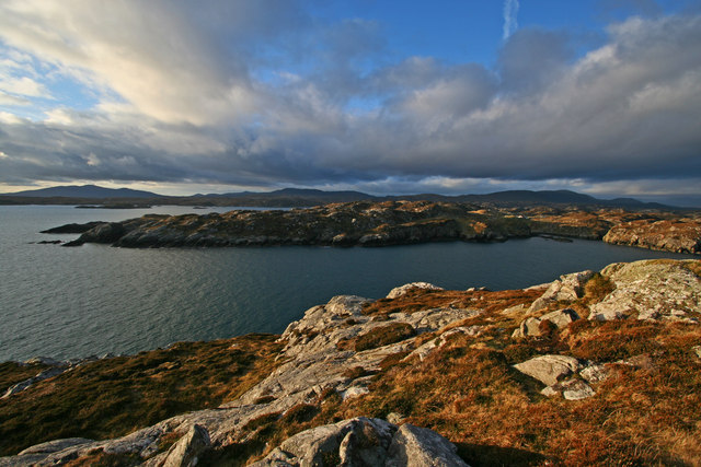
Rubha Bhocaig is a prominent headland located in Inverness-shire, a county in the Highland region of Scotland. Situated on the west coast of Scotland, Rubha Bhocaig offers breathtaking views of the Atlantic Ocean and the surrounding rugged coastline.

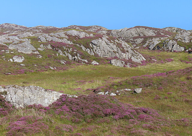
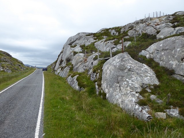
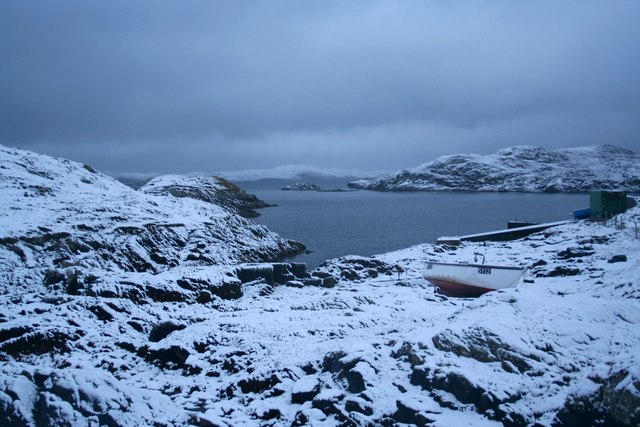
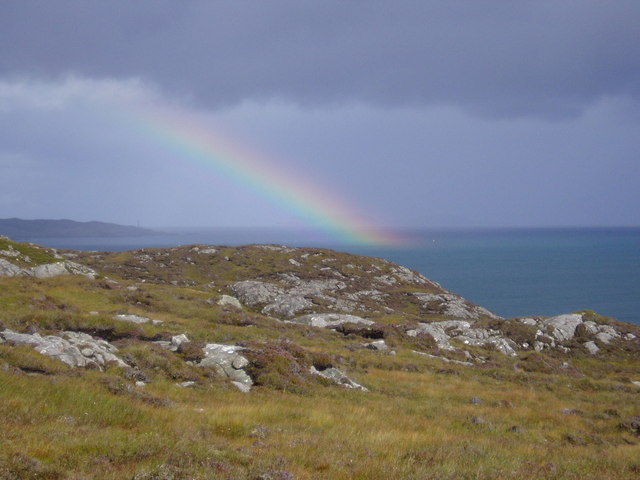
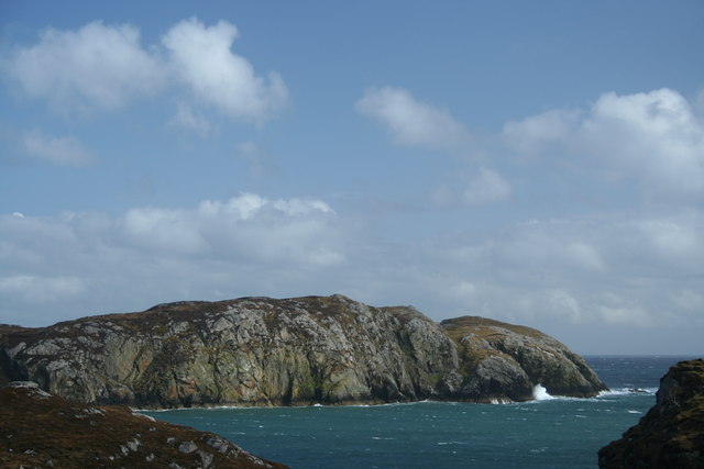
This coastal feature is characterized by its rocky cliffs and steep slopes, which provide a dramatic backdrop against the crashing waves of the sea. The headland extends out into the ocean, forming a distinctive point that juts into the water, creating a sense of isolation and grandeur.

The rocky terrain of Rubha Bhocaig is home to a diverse range of plant and animal species, making it an important ecological site. Seabirds such as puffins, razorbills, and guillemots can often be spotted nesting on the cliffs, while seals can be seen basking on the rocks below.

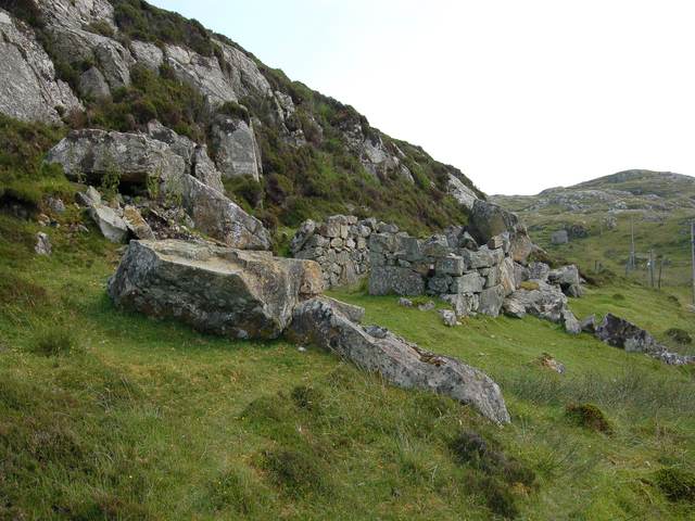
The headland also holds historical significance, with remnants of ancient settlements and structures scattered across its surface. These archaeological features serve as a reminder of the area's rich cultural heritage.

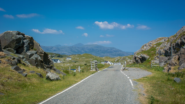
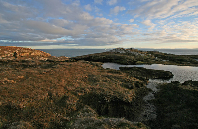
Rubha Bhocaig is a popular destination for outdoor enthusiasts, offering opportunities for hiking, birdwatching, and photography. The headland can be accessed via a footpath that winds its way along the coastline, providing visitors with stunning views of the surrounding landscape.

Overall, Rubha Bhocaig is a striking coastal feature in Inverness-shire, offering a unique blend of natural beauty, wildlife, and cultural history. It is a must-visit location for those seeking to immerse themselves in the rugged splendor of Scotland's west coast.

If you have any feedback on the listing, please let us know in the comments section below.

Rubha Bhocaig Images

Images are sourced within 2km of 57.827385/-6.7375118 or Grid Reference NG1891. Thanks to Geograph Open Source API. All images are credited.

Loch Phlocrapoil This is one of the larger lochs on the route of the Golden Road.
Loch Phlocrapoil
This is one of the larger lochs on the route of the Golden Road.
Lewisian Gneiss This is classic Lewisian Gneiss, in irregular outcrops smoothed by the glaciers of the last (and no doubt previous) Ice Ages.
Lewisian Gneiss
This is classic Lewisian Gneiss, in irregular outcrops smoothed by the glaciers of the last (and no doubt previous) Ice Ages.
Loch Plocrapol at Scadabay
Cattle grid on the Golden Road
Abandoned Kirk at Scadabay
Ice-sculpted rock next to minor road at Scadabay
Old building at Scadabhagh A drystone construction of partly dressed gneiss using a small cliff for support. I would think agricultural rather than residential, and probably relatively recent.
Old building at Scadabhagh
A drystone construction of partly dressed gneiss using a small cliff for support. I would think agricultural rather than residential, and probably relatively recent.
Southern end of Loch Plocrapool
Plocrapol, Harris Tweed weaving
Plocrapol Bay
Plocrapol Bay
Loch Procrapoil from the South Mid afternoon shot in Mid May. Clear identification of the small islands in the foreground.
Loch Procrapoil from the South
Mid afternoon shot in Mid May. Clear identification of the small islands in the foreground.
Snow at Plocrapol Snow very rarely settles in Harris, due to the warm Atlantic. This view of Plocrapol Bay is therefore most unusual.
Snow at Plocrapol
Snow very rarely settles in Harris, due to the warm Atlantic. This view of Plocrapol Bay is therefore most unusual.
The slopes of Cleit a Bhraigh Looking over the gneiss landscape of South Harris, across the mouth of East Loch Tarbert towards Scalpay & Eilean Glas lighthouse.
The slopes of Cleit a Bhraigh
Looking over the gneiss landscape of South Harris, across the mouth of East Loch Tarbert towards Scalpay & Eilean Glas lighthouse.
Looking across Loch na h-Uamha The cliffs on the east shore of Loch na h-Uamha, near Scadabhagh, Harris.
Looking across Loch na h-Uamha
The cliffs on the east shore of Loch na h-Uamha, near Scadabhagh, Harris.
View across Loch na h-Uamha to Aird Bheag Loch na h-Uamha & Aird Bheag are the main features of this square. They are typical of the scenery in the Bays of Harris. In the foreground is the small amount of the peninsula of Reibinis that falls within this square.
View across Loch na h-Uamha to Aird Bheag
Loch na h-Uamha & Aird Bheag are the main features of this square. They are typical of the scenery in the Bays of Harris. In the foreground is the small amount of the peninsula of Reibinis that falls within this square.
The terrain on the peninsula of Reibinis This peninsula never seems crowded! The boggy foreground is not unusual hereabouts. In the background is The Minch, with the ferry "Hebrides" approaching Harris. In the far background the mountains of the Fisherfield Forest, on the mainland, can be seen.
The terrain on the peninsula of Reibinis
This peninsula never seems crowded! The boggy foreground is not unusual hereabouts. In the background is The Minch, with the ferry "Hebrides" approaching Harris. In the far background the mountains of the Fisherfield Forest, on the mainland, can be seen.
Loch na h-Uamha A glimpse into the loch from the East Harris road near Scadabhagh.
Loch na h-Uamha
A glimpse into the loch from the East Harris road near Scadabhagh.
Loch Phlocrapoil I am a little dubious about the spelling of this loch, anglicised as Loch Plocrapol. This scene is typical of east Harris, with small lochs among the hummocky gneisses. This topography is termed cnoc-and-lochan. In the background, the hills of North Harris culminate in An Cliseam (Clisham) at 799 metres.
Loch Phlocrapoil
I am a little dubious about the spelling of this loch, anglicised as Loch Plocrapol. This scene is typical of east Harris, with small lochs among the hummocky gneisses. This topography is termed cnoc-and-lochan. In the background, the hills of North Harris culminate in An Cliseam (Clisham) at 799 metres.
Show me another place!

Rubha Bhocaig is located at Grid Ref: NG1891 (Lat: 57.827385, Lng: -6.7375118)

Unitary Authority: Na h-Eileanan an Iar

Police Authority: Highlands and Islands

What 3 Words

///redouble.drifters.ticket. Near Tarbert, Na h-Eileanan Siar

Related Wikis

East Loch Tarbert

East Loch Tarbert (Scottish Gaelic: Loch an Tairbeairt) is a sea loch that lies to the east of Harris in the Outer Hebrides of Scotland. The loch contains...

Stockinish Island

Stockinish Island (Scottish Gaelic: Eilean Stocainis) is an uninhabited island off Harris, in the Outer Hebrides. == Geography and geology == Stockinish...

Scalpay, Outer Hebrides

Scalpay (; Scottish Gaelic: Sgalpaigh or Sgalpaigh na Hearadh; i.e. "Scalpay of Harris" to distinguish it from Scalpay off Skye) is an island in the Outer...

Sgeotasaigh

Scotasay (Scottish Gaelic: Sgeotasaigh) is small island in the Outer Hebrides of Scotland. It lies 1 kilometre (0.6 miles) off the east coast of Harris...

Have you been to Rubha Bhocaig?

Leave your review of Rubha Bhocaig below (or comments, questions and feedback).