Rubha nan Gearranan
Coastal Feature, Headland, Point in Ross-shire
Scotland
Rubha nan Gearranan

Rubha nan Gearranan, located in Ross-shire, Scotland, is a prominent coastal feature known for its stunning headland and picturesque views. Situated on the western coast of the Scottish Highlands, this point juts out into the North Atlantic Ocean, providing breathtaking vistas of the surrounding landscape.
The headland is characterized by rugged cliffs that plunge dramatically into the sea below, creating a striking visual contrast against the azure waters. These cliffs are formed from ancient rock formations, showcasing layers of sedimentary rock that have been shaped by millions of years of erosion and weathering. This geological diversity adds to the beauty and intrigue of Rubha nan Gearranan.
The headland is also home to a diverse range of flora and fauna, making it a popular spot for nature enthusiasts and wildlife photographers. Visitors can observe various seabirds nesting along the cliffs, including puffins, guillemots, and razorbills. It is not uncommon to catch a glimpse of seals basking on the rocks or dolphins frolicking in the nearby waters.
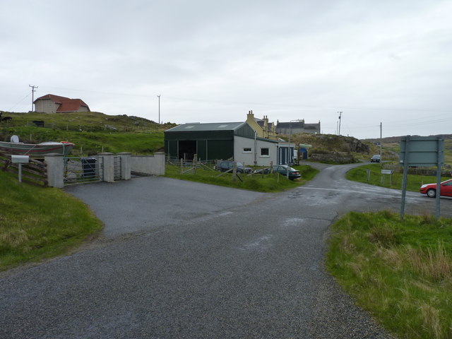
Access to Rubha nan Gearranan is relatively easy, with a well-maintained footpath leading to the headland from the nearby village. The path offers stunning views along the way, allowing visitors to appreciate the natural beauty of the area before reaching the main viewpoint.
Whether one is seeking a peaceful retreat or an opportunity to immerse themselves in the beauty of the Scottish coastline, Rubha nan Gearranan is a must-visit destination. With its rugged cliffs, diverse wildlife, and breathtaking views, it is a place that leaves a lasting impression on all who venture there.
If you have any feedback on the listing, please let us know in the comments section below.
Rubha nan Gearranan Images
Images are sourced within 2km of 58.296321/-6.8018976 or Grid Reference NB1844. Thanks to Geograph Open Source API. All images are credited.


Rubha nan Gearranan is located at Grid Ref: NB1844 (Lat: 58.296321, Lng: -6.8018976)
Unitary Authority: Na h-Eileanan an Iar
Police Authority: Highlands and Islands
What 3 Words
///outcasts.tugging.husky. Near Carloway, Na h-Eileanan Siar
Related Wikis

Garenin
Garenin (Scottish Gaelic: Na Gearrannan) is a crofting township on the west coast of the Isle of Lewis in the Outer Hebrides of Scotland. Garenin is in...

Borrowston, Lewis
Borrowston (Scottish Gaelic: Borghastan), with a population of about 50, is a crofting township situated on the Isle of Lewis, on the Outer Hebrides of...

Carloway
Carloway (Scottish Gaelic: Càrlabhagh [ˈkʰaːɾɫ̪ə.ɤː]) is a crofting township and a district on the west coast of the Isle of Lewis, in the Outer Hebrides...

Dun Carloway
Dun Carloway (Scottish Gaelic: Dùn Chàrlabhaigh) is a broch situated in the district of Carloway, on the west coast of the Isle of Lewis, Scotland (grid...

Siadar Wave Power Station
The Siadar Wave Power Station (also known as Siadar Wave Energy Project or SWEP) was a proposed 4 MW wave farm 400 metres (1,300 ft) off the shore of Siadar...

Campaigh
Campaigh or Campay is a steep and rocky islet in outer Loch Ròg, Lewis, Scotland that lies north of Cealasaigh and Little Bernera. A huge natural arch...
Cealasaigh
Cealasaigh or Kealasay is an islet in outer Loch Ròg, Lewis, Scotland that lies north of Traigh Mhór on Little Bernera and south of Campaigh. To the west...

Little Bernera
Little Bernera (Scottish Gaelic: Beàrnaraigh Beag) is a small island situated off the west coast of the Isle of Lewis in the Outer Hebrides.Little Bernera...
Nearby Amenities
Located within 500m of 58.296321,-6.8018976Have you been to Rubha nan Gearranan?
Leave your review of Rubha nan Gearranan below (or comments, questions and feedback).