Geodha Ear

Coastal Feature, Headland, Point in Inverness-shire

Scotland

Geodha Ear

Fish Farm In the outer part of Loch Ghreosabhagh. I take it that the poles and nets are to discourage birds form taking the fish.
Fish Farm Credit: Anne Burgess

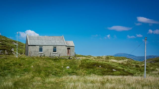
Geodha Ear, located in Inverness-shire, Scotland, is a striking coastal feature known for its headland and point formation. Situated on the western coast of the Scottish Highlands, Geodha Ear boasts breathtaking views of the North Atlantic Ocean.

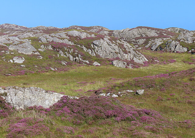
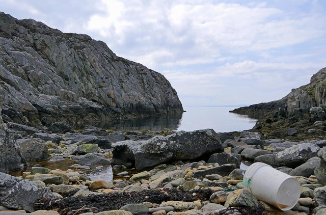
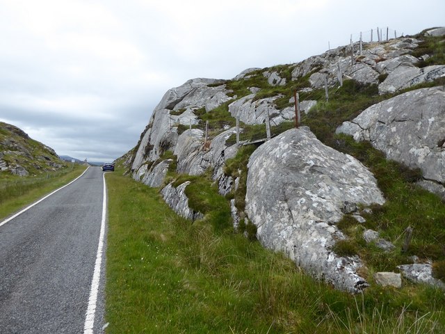
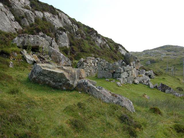
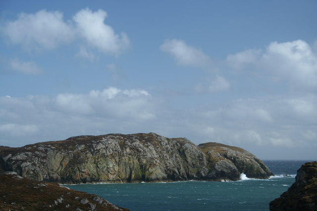
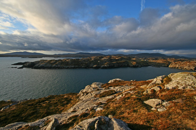
This rugged headland is characterized by its steep cliffs and jagged rock formations, which have been shaped by centuries of erosion from wind and waves. The cliffs reach impressive heights, offering a vantage point for visitors to marvel at the vast expanse of the ocean below. Geodha Ear's unique geological formations also make it a popular spot for geologists and nature enthusiasts interested in studying the region's geological history.

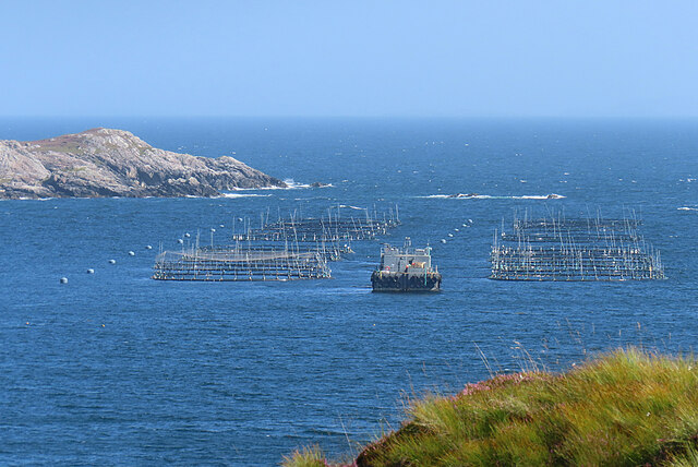
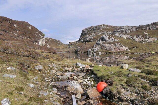
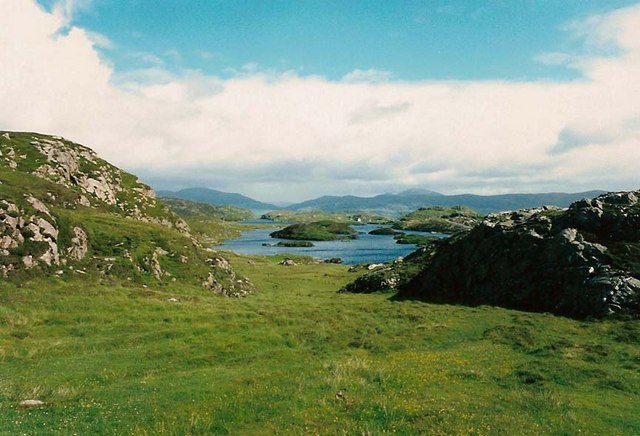
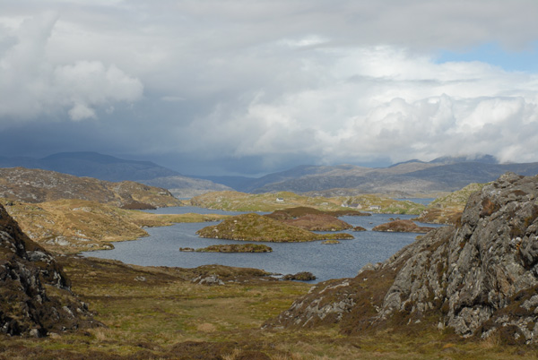
The headland's name, Geodha Ear, translates to "eastern inlet" in Scottish Gaelic, reflecting its geographical position on the eastern side of the larger inlet it is a part of. The point, jutting out into the sea, provides a natural barrier against the powerful waves, creating a sheltered area within the larger bay. This sheltered zone is often utilized by local fishermen and provides a safe haven for a variety of marine wildlife, including seals, seabirds, and occasionally dolphins.

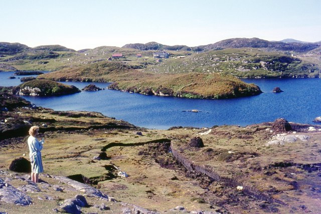
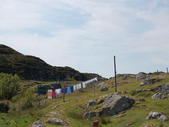
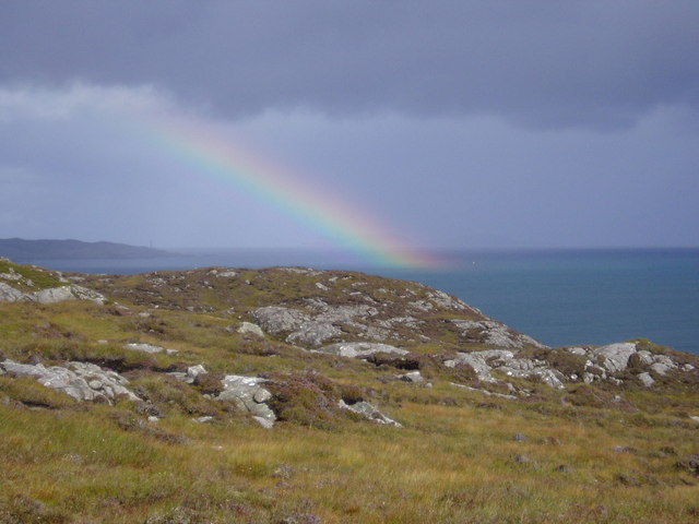
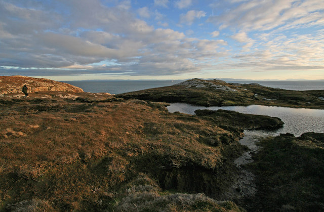
Access to Geodha Ear is primarily by foot, with a well-maintained coastal path leading visitors to the headland. The trail offers hikers stunning views of the surrounding countryside, with ample opportunities for birdwatching and photography. Additionally, the area is home to a diverse range of flora and fauna, making it a popular destination for nature lovers. Geodha Ear's remote location and untouched beauty make it a hidden gem for those seeking a tranquil coastal experience in the heart of the Scottish Highlands.

If you have any feedback on the listing, please let us know in the comments section below.

Geodha Ear Images

Images are sourced within 2km of 57.822858/-6.7493251 or Grid Reference NG1891. Thanks to Geograph Open Source API. All images are credited.

Fish Farm In the outer part of Loch Ghreosabhagh. I take it that the poles and nets are to discourage birds form taking the fish.
Fish Farm
In the outer part of Loch Ghreosabhagh. I take it that the poles and nets are to discourage birds form taking the fish.
Loch Phlocrapoil This is one of the larger lochs on the route of the Golden Road.
Loch Phlocrapoil
This is one of the larger lochs on the route of the Golden Road.
Lewisian Gneiss This is classic Lewisian Gneiss, in irregular outcrops smoothed by the glaciers of the last (and no doubt previous) Ice Ages.
Lewisian Gneiss
This is classic Lewisian Gneiss, in irregular outcrops smoothed by the glaciers of the last (and no doubt previous) Ice Ages.
Loch Plocrapol at Scadabay
Mol Bhi, Harris Mol Bhi (or Mol Vee) is an inlet on Loch Ghreosabhagh.
Mol Bhi, Harris
Mol Bhi (or Mol Vee) is an inlet on Loch Ghreosabhagh.
Cattle grid on the Golden Road
Abandoned Kirk at Scadabay
Ice-sculpted rock next to minor road at Scadabay
Outflow from Loch Chumain, Harris The buoy is from a boat called Spindrift, possibly SY128, a Stornoway registered potter (boat used to catch shellfish).
Outflow from Loch Chumain, Harris
The buoy is from a boat called Spindrift, possibly SY128, a Stornoway registered potter (boat used to catch shellfish).
Washing at Scadabhagh Taking advantage of a good drying day.
Washing at Scadabhagh
Taking advantage of a good drying day.
Old building at Scadabhagh A drystone construction of partly dressed gneiss using a small cliff for support. I would think agricultural rather than residential, and probably relatively recent.
Old building at Scadabhagh
A drystone construction of partly dressed gneiss using a small cliff for support. I would think agricultural rather than residential, and probably relatively recent.
Southern end of Loch Plocrapool
Loch Procrapoil from the South Mid afternoon shot in Mid May. Clear identification of the small islands in the foreground.
Loch Procrapoil from the South
Mid afternoon shot in Mid May. Clear identification of the small islands in the foreground.
The slopes of Cleit a Bhraigh Looking over the gneiss landscape of South Harris, across the mouth of East Loch Tarbert towards Scalpay & Eilean Glas lighthouse.
The slopes of Cleit a Bhraigh
Looking over the gneiss landscape of South Harris, across the mouth of East Loch Tarbert towards Scalpay & Eilean Glas lighthouse.
Looking across Loch na h-Uamha The cliffs on the east shore of Loch na h-Uamha, near Scadabhagh, Harris.
Looking across Loch na h-Uamha
The cliffs on the east shore of Loch na h-Uamha, near Scadabhagh, Harris.
View across Loch na h-Uamha to Aird Bheag Loch na h-Uamha & Aird Bheag are the main features of this square. They are typical of the scenery in the Bays of Harris. In the foreground is the small amount of the peninsula of Reibinis that falls within this square.
View across Loch na h-Uamha to Aird Bheag
Loch na h-Uamha & Aird Bheag are the main features of this square. They are typical of the scenery in the Bays of Harris. In the foreground is the small amount of the peninsula of Reibinis that falls within this square.
The terrain on the peninsula of Reibinis This peninsula never seems crowded! The boggy foreground is not unusual hereabouts. In the background is The Minch, with the ferry "Hebrides" approaching Harris. In the far background the mountains of the Fisherfield Forest, on the mainland, can be seen.
The terrain on the peninsula of Reibinis
This peninsula never seems crowded! The boggy foreground is not unusual hereabouts. In the background is The Minch, with the ferry "Hebrides" approaching Harris. In the far background the mountains of the Fisherfield Forest, on the mainland, can be seen.
Loch na h-Uamha A glimpse into the loch from the East Harris road near Scadabhagh.
Loch na h-Uamha
A glimpse into the loch from the East Harris road near Scadabhagh.
Show me another place!

Geodha Ear is located at Grid Ref: NG1891 (Lat: 57.822858, Lng: -6.7493251)

Unitary Authority: Na h-Eileanan an Iar

Police Authority: Highlands and Islands

What 3 Words

///scared.unlisted.mush. Near Tarbert, Na h-Eileanan Siar

Related Wikis

Stockinish Island

Stockinish Island (Scottish Gaelic: Eilean Stocainis) is an uninhabited island off Harris, in the Outer Hebrides. == Geography and geology == Stockinish...

East Loch Tarbert

East Loch Tarbert (Scottish Gaelic: Loch an Tairbeairt) is a sea loch that lies to the east of Harris in the Outer Hebrides of Scotland. The loch contains...

Sgeotasaigh

Scotasay (Scottish Gaelic: Sgeotasaigh) is small island in the Outer Hebrides of Scotland. It lies 1 kilometre (0.6 miles) off the east coast of Harris...

Scalpay, Outer Hebrides

Scalpay (; Scottish Gaelic: Sgalpaigh or Sgalpaigh na Hearadh; i.e. "Scalpay of Harris" to distinguish it from Scalpay off Skye) is an island in the Outer...

Have you been to Geodha Ear?

Leave your review of Geodha Ear below (or comments, questions and feedback).