Geodh' Ailean an Dùine
Coastal Feature, Headland, Point in Argyllshire
Scotland
Geodh' Ailean an Dùine

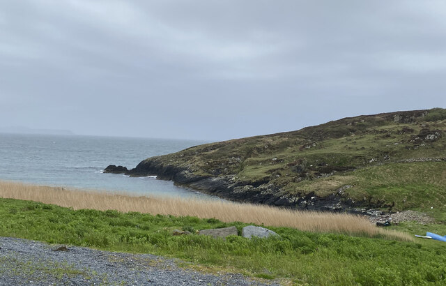
Geodh' Ailean an Dùine, also known as Geodh' Ailean, is a prominent coastal feature located in Argyllshire, Scotland. It is a headland or point that extends out into the sea, offering stunning views of the surrounding landscape.
Situated on the western coast of Scotland, Geodh' Ailean an Dùine is known for its rugged beauty and dramatic cliffs. The headland is characterized by its steep rocky slopes, which are often covered with lush vegetation. The cliffs provide a nesting site for various seabirds, including gulls and fulmars, making it a popular destination for birdwatchers.
The coastline around Geodh' Ailean an Dùine is also dotted with small caves and rock formations, adding to its unique appeal. These caves are formed by the relentless pounding of the waves over thousands of years, creating intricate patterns and shapes in the rock walls.
Access to Geodh' Ailean an Dùine is relatively easy, with a well-maintained footpath leading visitors along the coastline. From the headland, visitors can enjoy panoramic views of the sea, nearby islands, and the distant mountains of the Scottish Highlands.
The area surrounding Geodh' Ailean an Dùine is abundant in natural beauty, with opportunities for hiking, photography, and exploring the diverse marine life in the rock pools along the shoreline. It is a popular spot for outdoor enthusiasts and nature lovers who seek a tranquil escape.
In summary, Geodh' Ailean an Dùine is a captivating headland in Argyllshire, offering breathtaking views, diverse wildlife, and a serene coastal experience for visitors.
If you have any feedback on the listing, please let us know in the comments section below.
Geodh' Ailean an Dùine Images
Images are sourced within 2km of 55.674342/-6.482353 or Grid Reference NR1851. Thanks to Geograph Open Source API. All images are credited.


Geodh' Ailean an Dùine is located at Grid Ref: NR1851 (Lat: 55.674342, Lng: -6.482353)
Unitary Authority: Argyll and Bute
Police Authority: Argyll and West Dunbartonshire
What 3 Words
///twin.announced.taps. Near Portnahaven, Argyll & Bute
Related Wikis

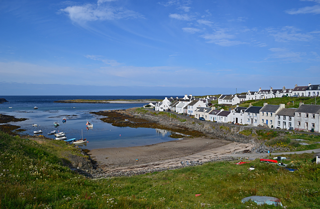
Portnahaven
Portnahaven (Scottish Gaelic: Port na h-Abhainne, meaning river port) is a village on Islay in the Inner Hebrides, Scotland. The village is within the...

Orsay, Inner Hebrides
Orsay (Scottish Gaelic: Orasaigh) is a small island in the Inner Hebrides of Scotland. It lies a short distance off the west coast of the island of Islay...

Eilean Mhic Coinnich
Eilean Mhic Coinnich, also known as Mackenzie Island (although recorded on the Land Register as McKenseys Island), is an uninhabited island of 17.3 hectares...

Easter Ellister
Easter Ellister (Aolastradh) is a settlement on the Rinns of Islay on Islay in the Inner Hebrides of Scotland. It lies just off the A847 road between Portnahaven...
Have you been to Geodh' Ailean an Dùine?
Leave your review of Geodh' Ailean an Dùine below (or comments, questions and feedback).